The best hiking routes in Koralpe
Discover the best walks in Koralpe. 5 routes on the map, with descriptions, photos and GPX.
About Koralpe
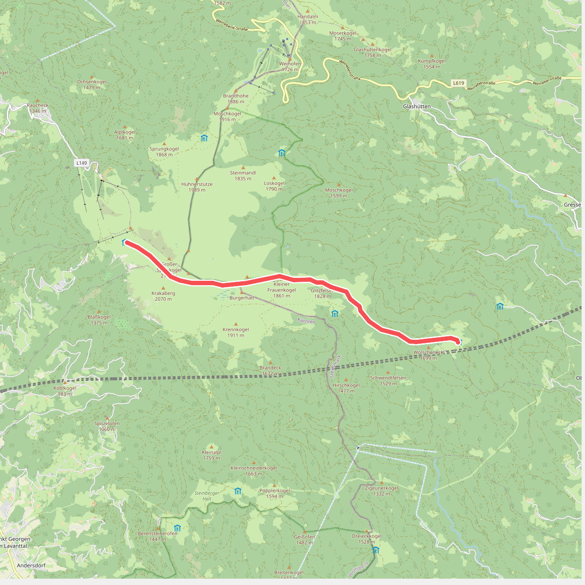
The Koralpe is a high-altitude mountain ridge stretching along the border of Carinthia and Styria. Unlike the jagged limestone peaks found in other parts of Austria, this massif is characterised by its broad, rounded ridges and gently sloping alpine pastures. Walkers will find a landscape dominated by crystalline slate and gneiss, which shapes the terrain into massive, weather-worn rock domes and wide, grassy plateaus. The lack of steep, vertical rock faces makes it highly accessible for those who prefer steady, long-distance ridge walking over technical climbing.
Read more
About Koralpe
The Koralpe is a high-altitude mountain ridge stretching along the border of Carinthia and Styria. Unlike the jagged limestone peaks found in other parts of Austria, this massif is characterised by its broad, rounded ridges and gently sloping alpine pastures. Walkers will find a landscape dominated by crystalline slate and gneiss, which shapes the terrain into massive, weather-worn rock domes and wide, grassy plateaus. The lack of steep, vertical rock faces makes it highly accessible for those who prefer steady, long-distance ridge walking over technical climbing.
Read moreThe Koralpe is a high-altitude mountain ridge stretching along the border of Carinthia and Styria. Unlike the jagged limestone peaks found in other parts of Austria, this massif is characterised by its broad, rounded ridges and gently sloping alpine pastures. Walkers will find a landscape dominated by crystalline slate and gneiss, which shapes the terrain into massive, weather-worn rock domes and wide, grassy plateaus. The lack of steep, vertical rock faces makes it highly accessible for those who prefer steady, long-distance ridge walking over technical climbing.
Underfoot, the paths transition from soft forest soil and pine needle tracks in the lower spruce forests to gravelly, stone-strewn trails above the tree line. In these higher elevations, the terrain becomes a mix of alpine dwarf-shrub heath, peat bogs, and damp meadows. You will frequently cross small, clear streams that drain from the high moors, and the ground can be soft and spongy near these water sources. The trails are generally wide and well-marked, though the rocky sections near the summits require careful stepping over loose stones.
In late June and July, the green slopes are marked by the pink blooms of the alpine rose, which covers large sections of the high pastures. The landscape is open and exposed, with vegetation kept low by the altitude and active cattle grazing. While the main trailheads near the ski lifts and mountain huts can be busier with day trippers, the paths extending along the main ridge toward the Speikkogel summit offer a much more spacious and quiet walking experience.