


The best hiking routes in Lauwersmeer
Discover the best walks in Lauwersmeer. 41 routes on the map, with descriptions, photos and GPX.
Managed by Staatsbosbeheer
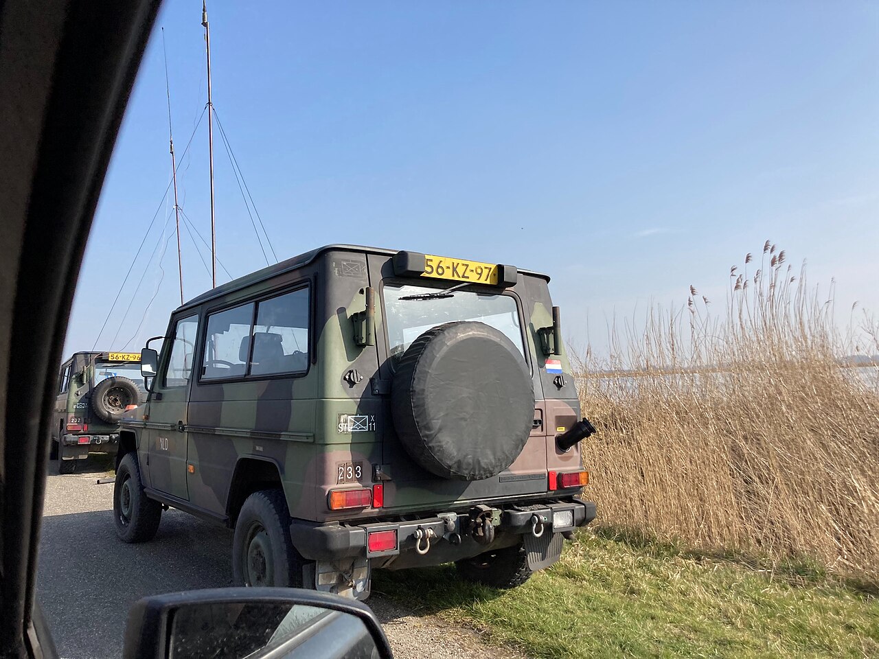
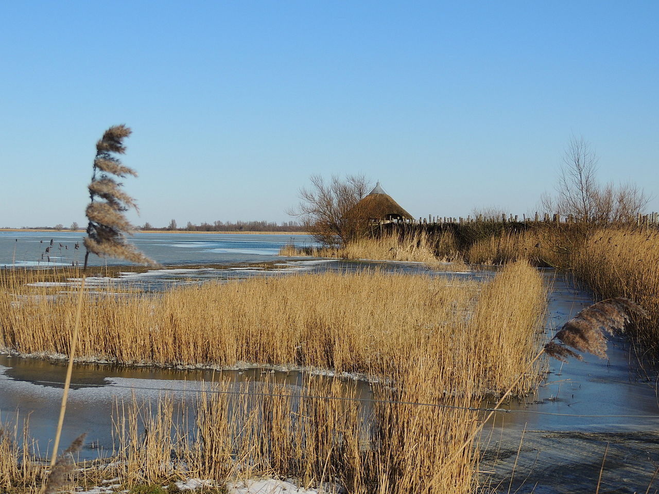
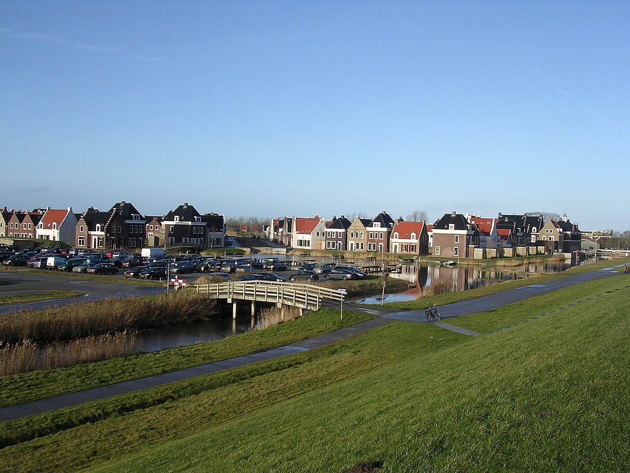
About Lauwersmeer
Lauwersmeer is a former sea inlet that was dammed in 1969, transforming a saltwater estuary into a freshwater lake surrounded by reclaimed land. Walking here means navigating a flat, open landscape where the transition from sea to lake is still visible. You will find a mix of damp grasslands, reedbeds, and young deciduous woodlands planted on the former seabed. The terrain is level, with no hills or dunes to climb, offering straightforward walking on a mix of paved cycle paths, grassy dikes, and muddy tracks that can be soft underfoot.
Read more
About Lauwersmeer
Lauwersmeer is a former sea inlet that was dammed in 1969, transforming a saltwater estuary into a freshwater lake surrounded by reclaimed land. Walking here means navigating a flat, open landscape where the transition from sea to lake is still visible. You will find a mix of damp grasslands, reedbeds, and young deciduous woodlands planted on the former seabed. The terrain is level, with no hills or dunes to climb, offering straightforward walking on a mix of paved cycle paths, grassy dikes, and muddy tracks that can be soft underfoot.
Read moreLauwersmeer is a former sea inlet that was dammed in 1969, transforming a saltwater estuary into a freshwater lake surrounded by reclaimed land. Walking here means navigating a flat, open landscape where the transition from sea to lake is still visible. You will find a mix of damp grasslands, reedbeds, and young deciduous woodlands planted on the former seabed. The terrain is level, with no hills or dunes to climb, offering straightforward walking on a mix of paved cycle paths, grassy dikes, and muddy tracks that can be soft underfoot.
The area is divided between open, exposed sections and sheltered woodlands like the Kollumeroord. In the open areas, the vegetation consists of hardy grasses and shrubs kept short by grazing Konik horses and Highland cattle. These open plains contrast with the denser, planted forests where willow and alder thrive. Because the soil is rich in clay and silt, paths outside the forested zones are often wide and exposed to the elements, with little shelter from the wind.
Depending on where you start, the walking experience varies. The northern sections near the former harbor of Lauwersoog feature hard-surfaced paths and dikes with views over the wide water. Further south, the paths turn into grassy tracks through marshland where boardwalks help you cross the wettest sections. It is a landscape defined by its artificial origin, where straight drainage ditches run alongside natural-looking creeks, making it a good choice for those who prefer wide-open spaces over dense forest.
Hiking routes in Lauwersmeer (41)
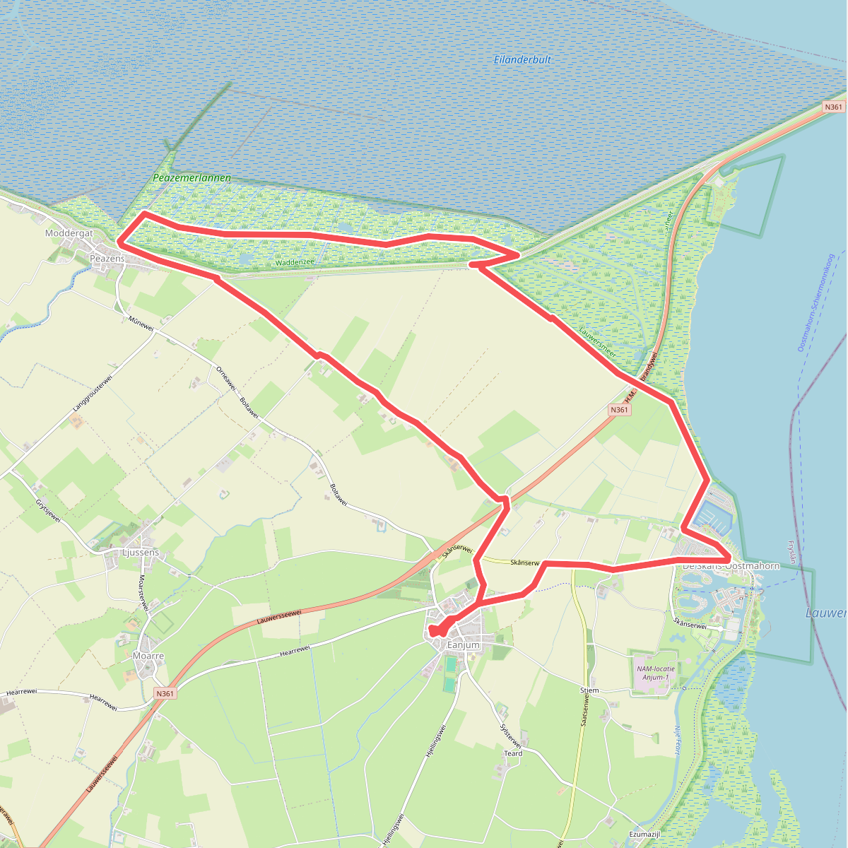
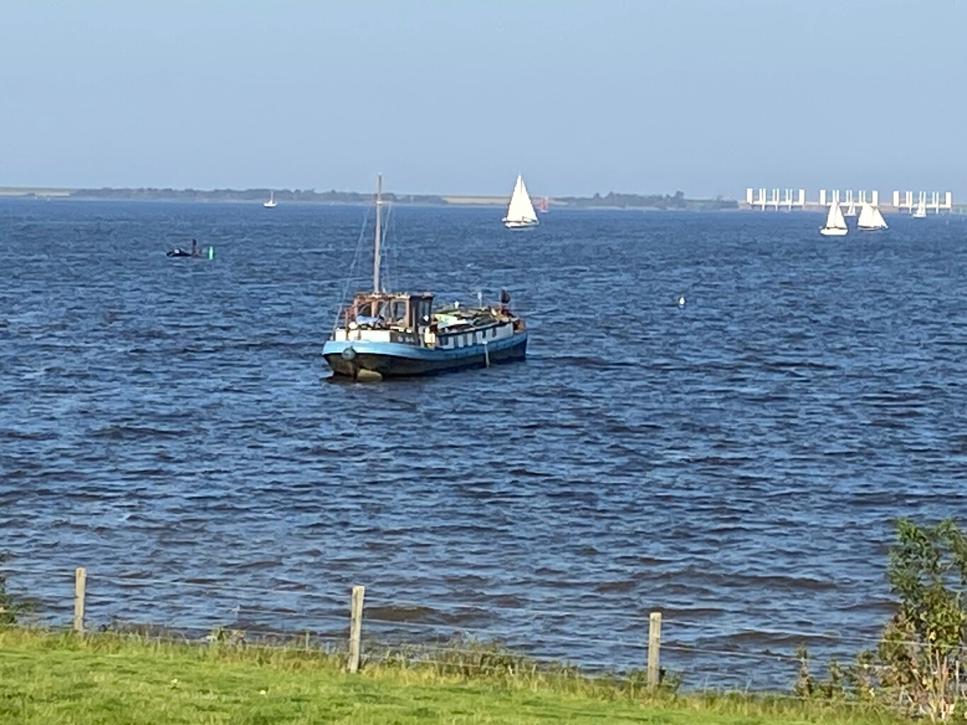
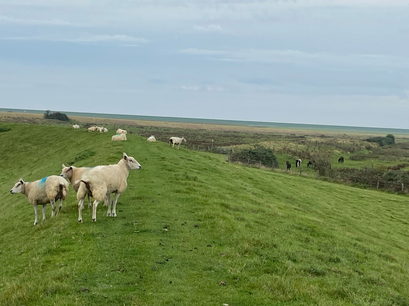
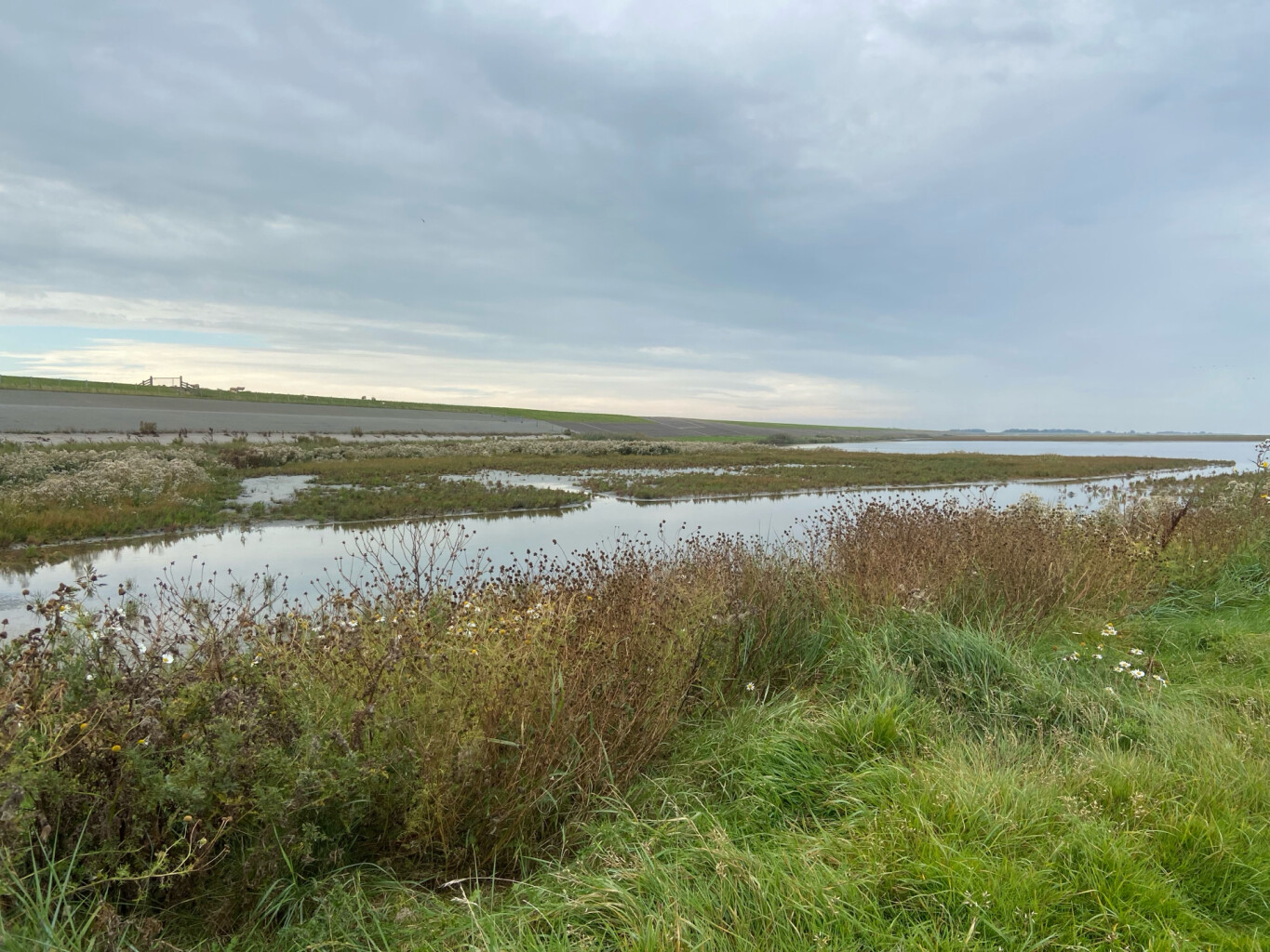
#1. Anjum - Peasens - Oostmahorn | Bonifatius Kloosterpad: rondje 2
Eanjum,Ljussens,Peazens
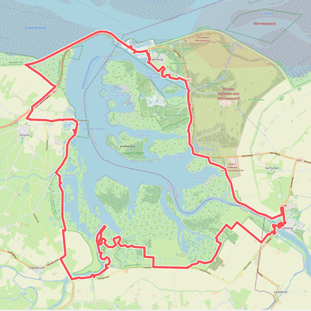
#2. Rondje Lauwersmeer
Lauwerzijl,Zoutkamp,Lauwersoog,Eanjum,Ingwierrum,Kollum,Kollumerpomp,Munnekezijl
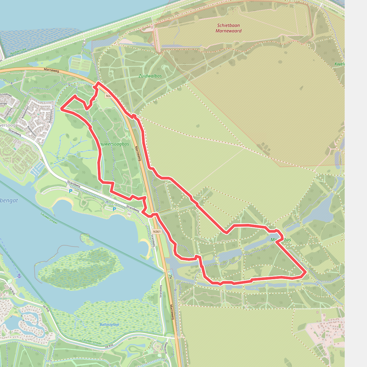
#3. Wielewalen bij Lauwersoog
Lauwersoog
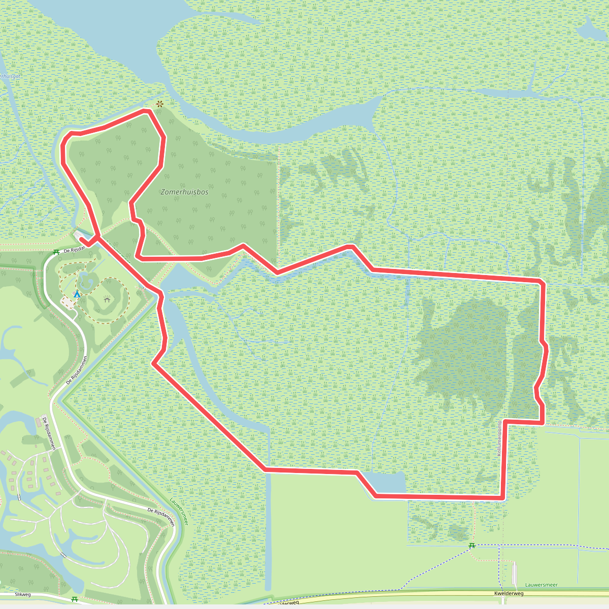
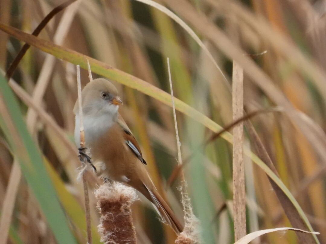
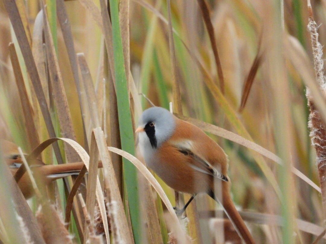
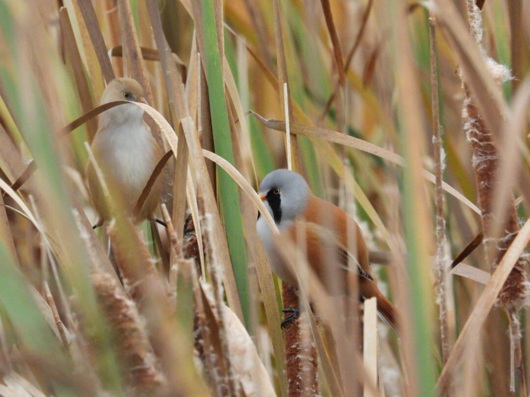
#4. Vogelroute
Kollumerpomp
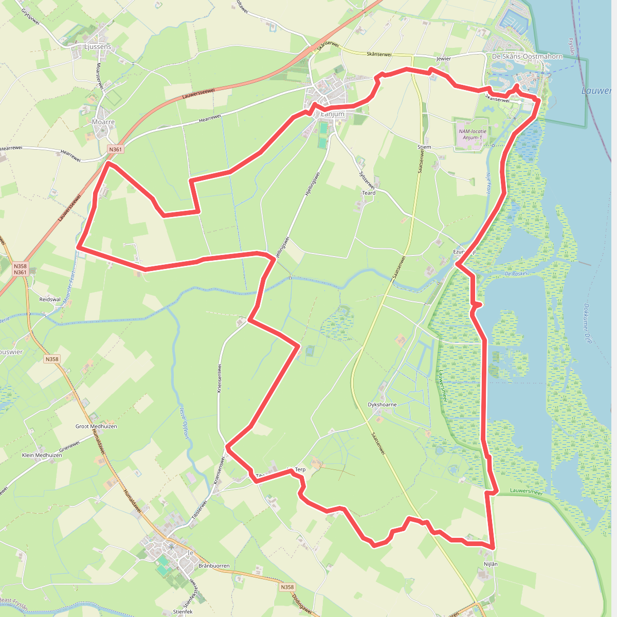
#5. Anjum - Ezumazijl - Klooster Weerd | Bonifatius Kloosterpad: rondje 3
Eanjum,Ingwierrum,Ie,Moarre,Mitselwier,Ljussens
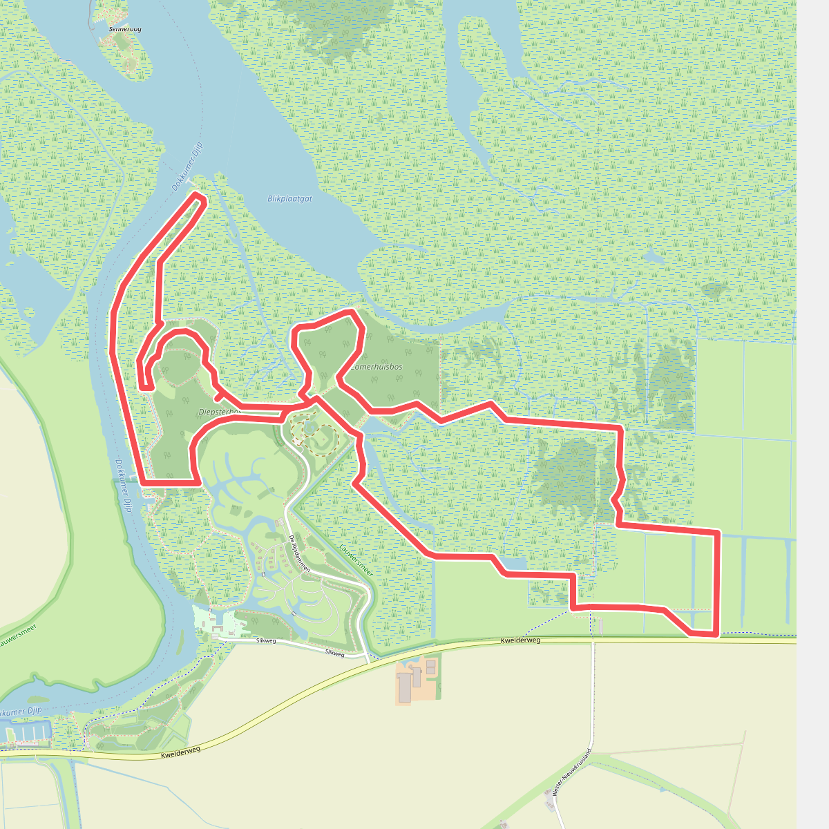
#6. Boswachterspad Kollumeroord
Kollumerpomp,Warfstermolen
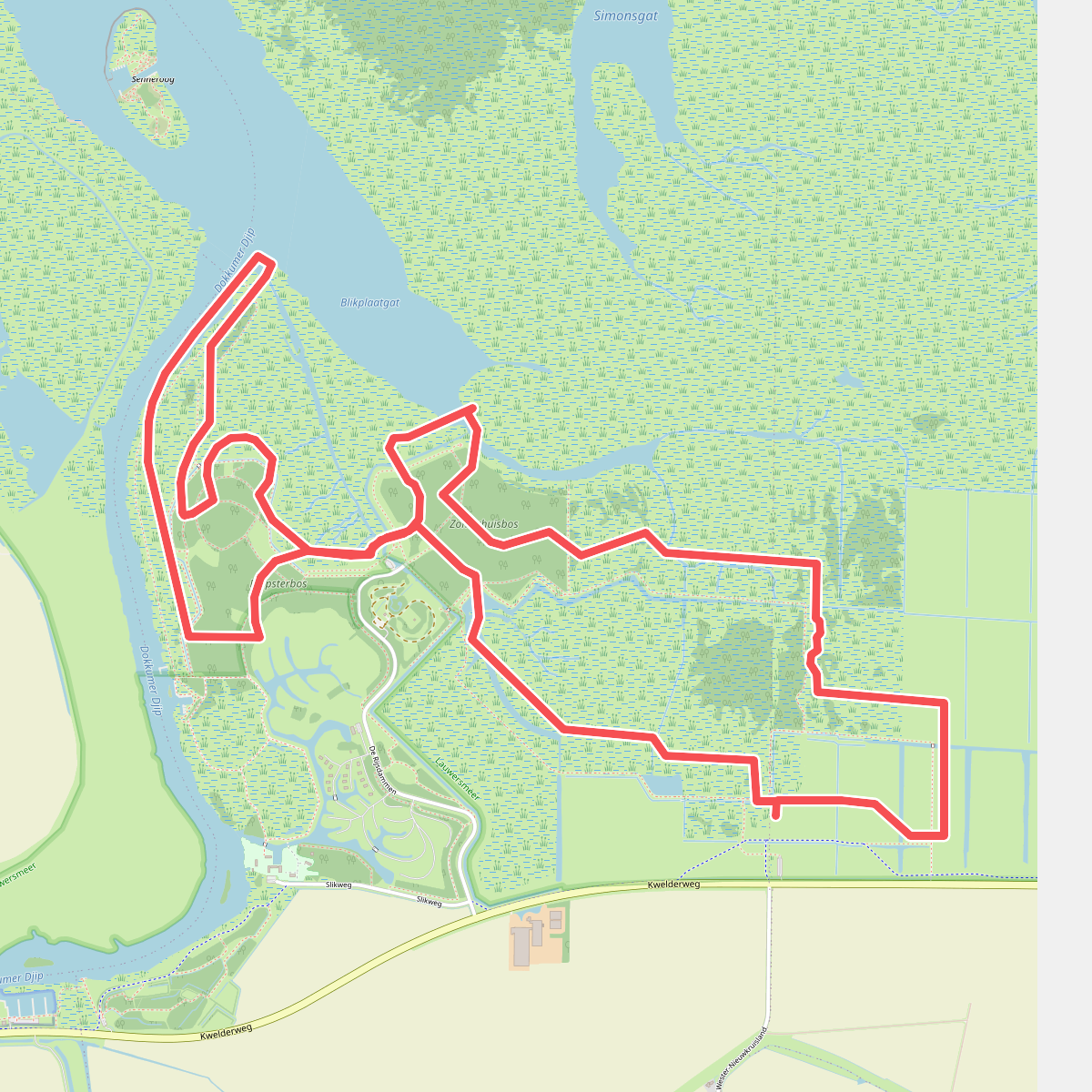
#7. Boswachterspad Kollumeroord
Kollumerpomp
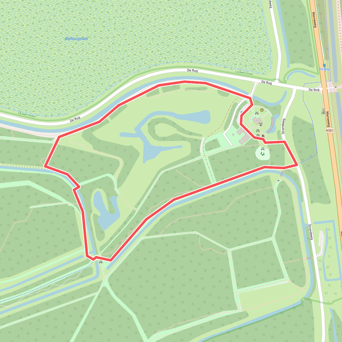
#8. Dark Sky route Lauwersmeer
Lauwersoog
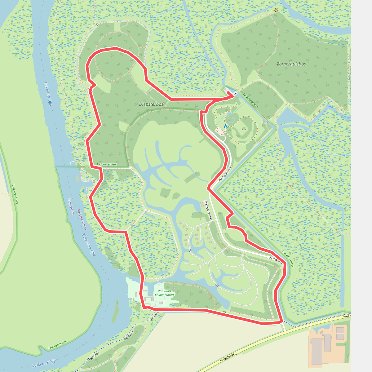
#9. Diepsterbosroute
Kollumerpomp
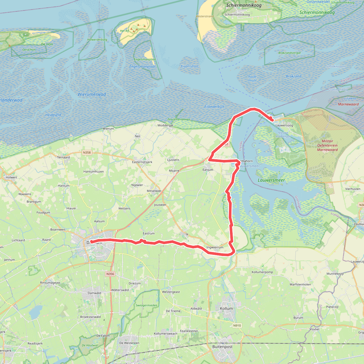
#10. Dokkum-Lauwersoog · Liberation route etappe 7
Lauwersoog,Eanjum,Ingwierrum,Ie,Westergeast,Eastrum,Dokkum
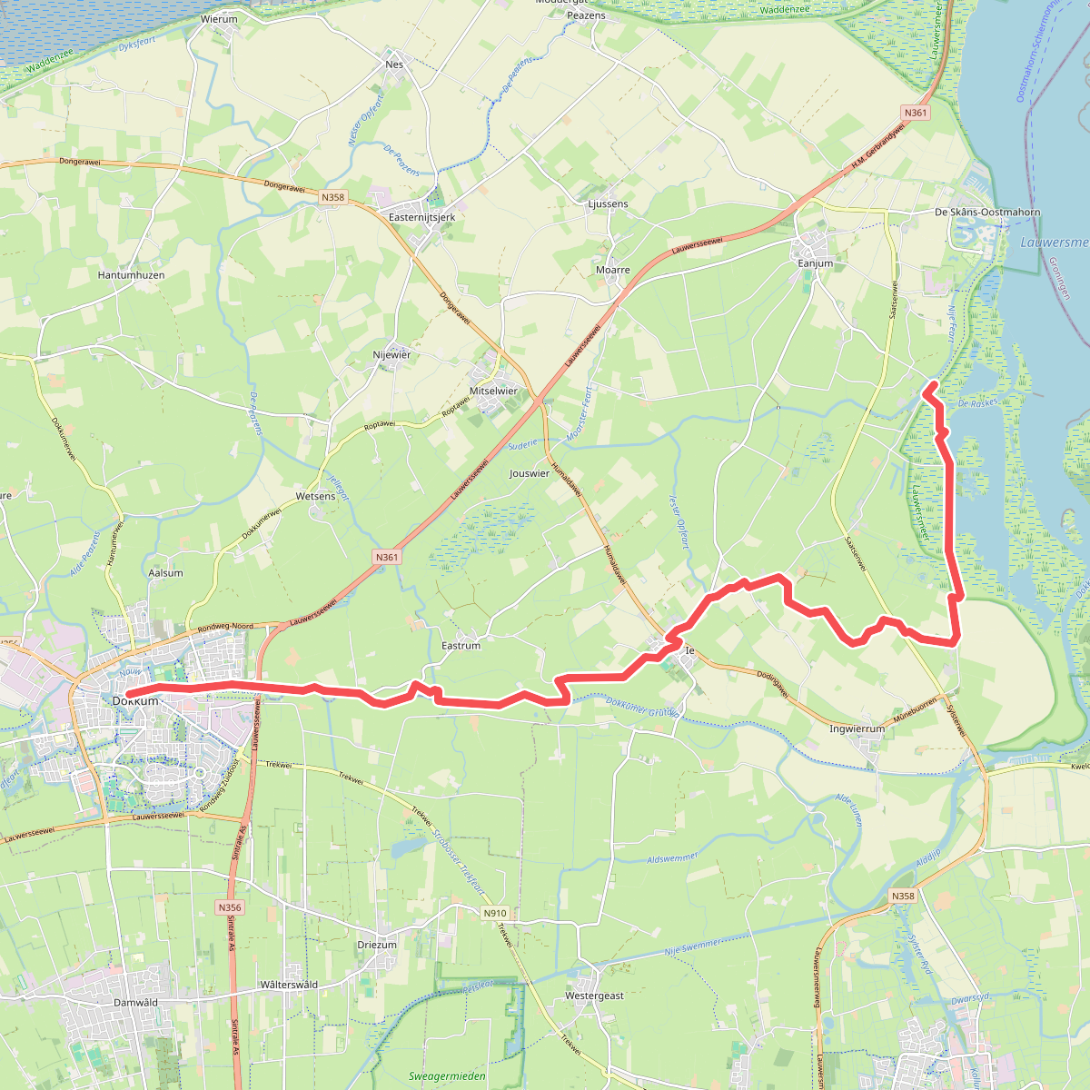
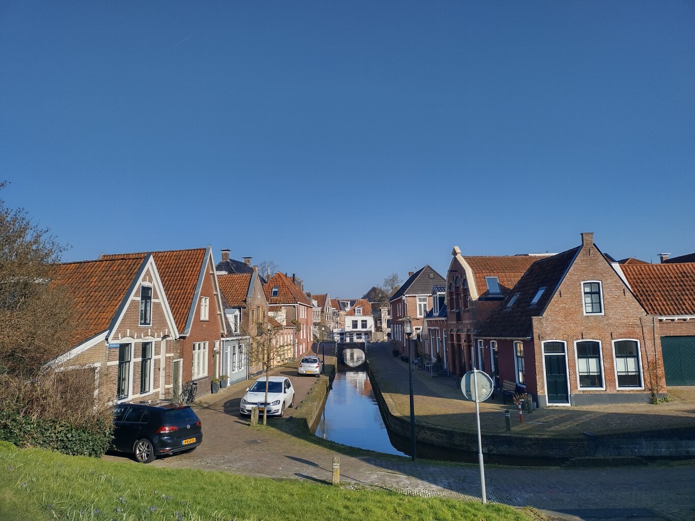
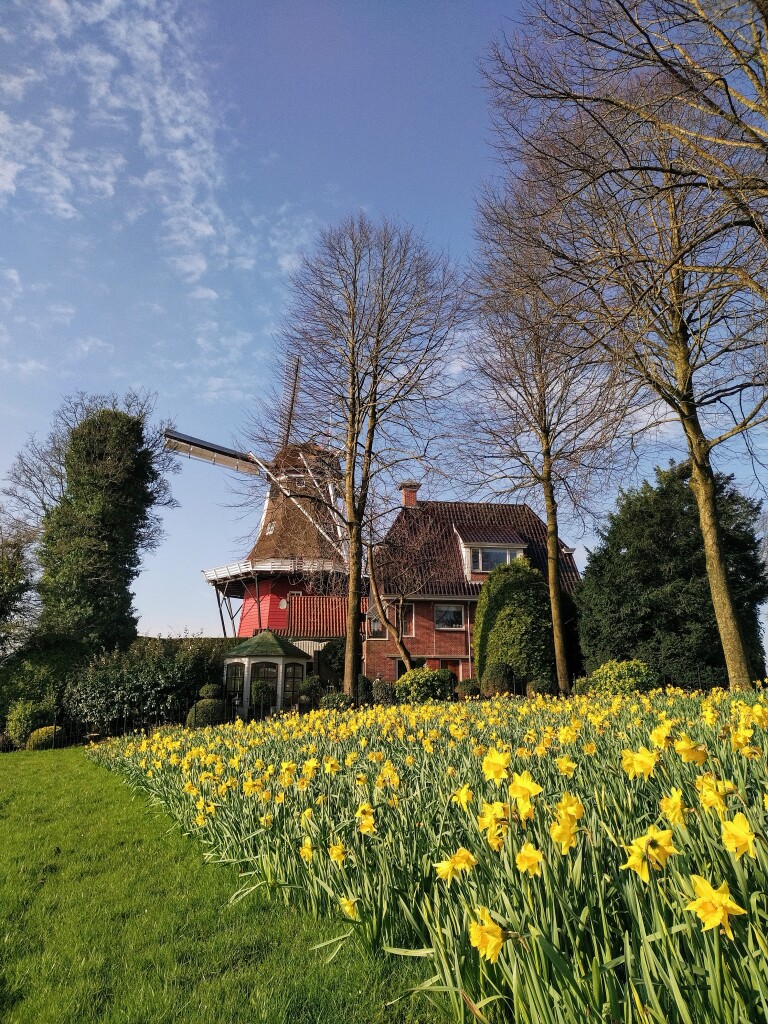
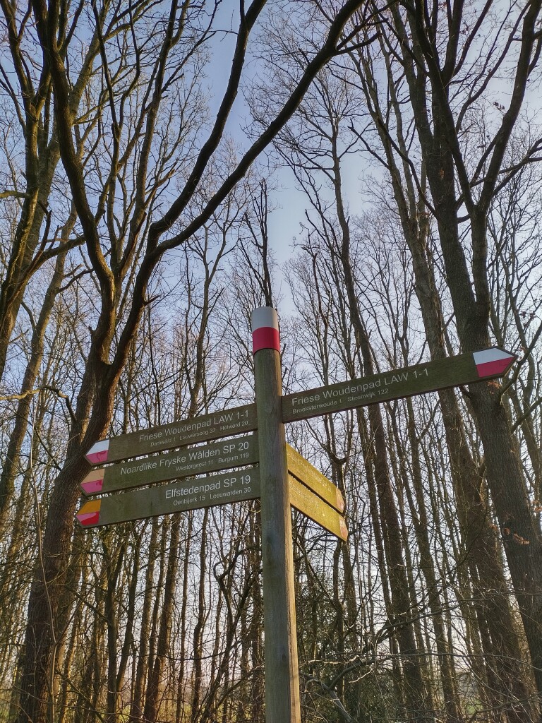
#11. Iezumasyl - Dokkum Diepswal · Friese Woudenpad etappe 2
Eanjum,Ingwierrum,Ie,Eastrum,Dokkum
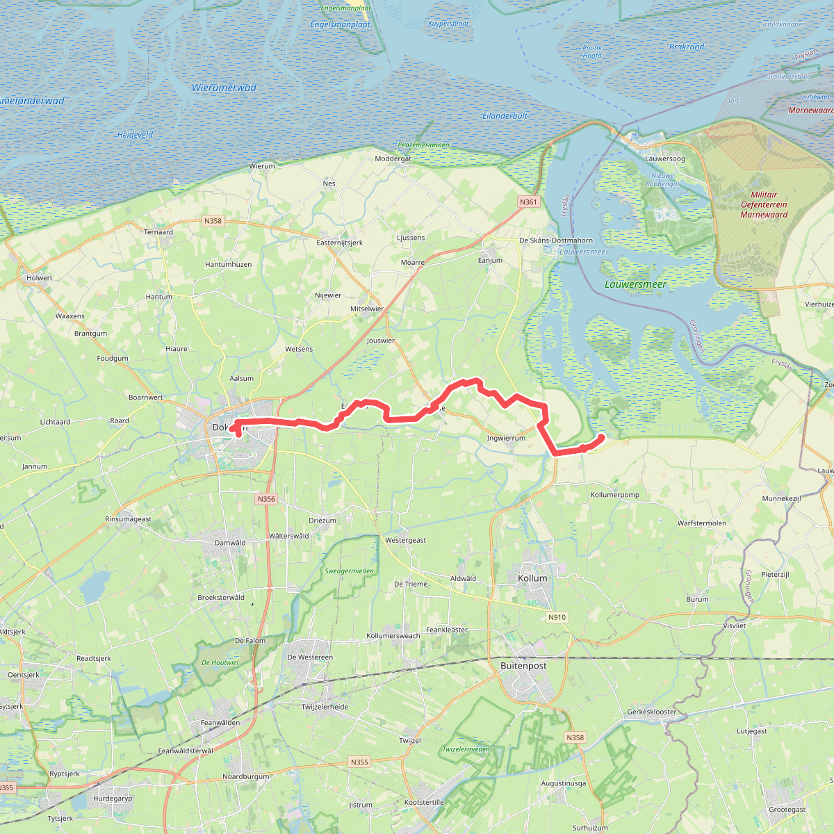
#12. Kollumeroord-Dokkum · Klooster Claercamppad etappe 3
Dokkum,Eastrum,Ie,Ingwierrum,Kollum,Kollumerpomp




