


The best hiking routes in Lechtal-Süd
Discover the best walks in Lechtal-Süd. 4 routes on the map, with descriptions, photos and GPX.
About Lechtal-Süd
Lechtal-Süd covers the quieter, southern slopes and lateral valleys of the Lech river basin, characterized by steep limestone scree slopes, dense mountain pine forests, and rocky alpine meadows. Unlike the flat gravel banks of the main riverbed nearby, this area rises sharply into rugged terrain where walkers encounter a mix of narrow, root-strewn forest paths and loose gravel tracks. The landscape is defined by its verticality, offering a transition from shaded woodland floors to exposed, stony ridges.
Read more
About Lechtal-Süd
Lechtal-Süd covers the quieter, southern slopes and lateral valleys of the Lech river basin, characterized by steep limestone scree slopes, dense mountain pine forests, and rocky alpine meadows. Unlike the flat gravel banks of the main riverbed nearby, this area rises sharply into rugged terrain where walkers encounter a mix of narrow, root-strewn forest paths and loose gravel tracks. The landscape is defined by its verticality, offering a transition from shaded woodland floors to exposed, stony ridges.
Read moreLechtal-Süd covers the quieter, southern slopes and lateral valleys of the Lech river basin, characterized by steep limestone scree slopes, dense mountain pine forests, and rocky alpine meadows. Unlike the flat gravel banks of the main riverbed nearby, this area rises sharply into rugged terrain where walkers encounter a mix of narrow, root-strewn forest paths and loose gravel tracks. The landscape is defined by its verticality, offering a transition from shaded woodland floors to exposed, stony ridges.
Underfoot, the terrain demands careful footwork. Walkers will mostly find natural dirt trails, limestone rubble, and occasional steep steps cut into the mountainside, rather than paved paths or boardwalks. The vegetation changes rapidly with altitude, where dwarf shrubs and hardy alpine grasses cling to the thin soil of the upper slopes, while thick spruce stands dominate the lower, wetter gullies.
By October, the larch trees on these slopes turn a distinct golden yellow, contrasting sharply with the grey limestone cliffs. This southern section lacks the wide, gentle valley walks found elsewhere in the region, focusing instead on demanding ascents and high-altitude paths that require steady footing. It is a landscape shaped by erosion and rockfalls, where the raw geology of the Northern Alps is visible directly beside the trail.
Hiking routes in Lechtal-Süd (4)
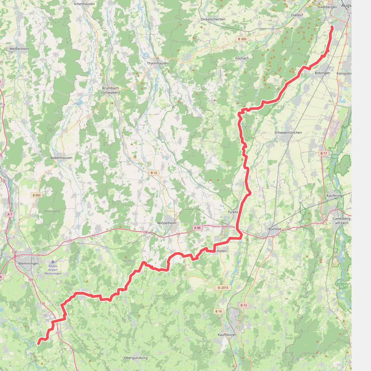
#1. Bayerisch-Schwäbischer Jakobsweg A-MM Var

#2. Kinsauer Lechschleifenrunde (8,5km)
Kinsau
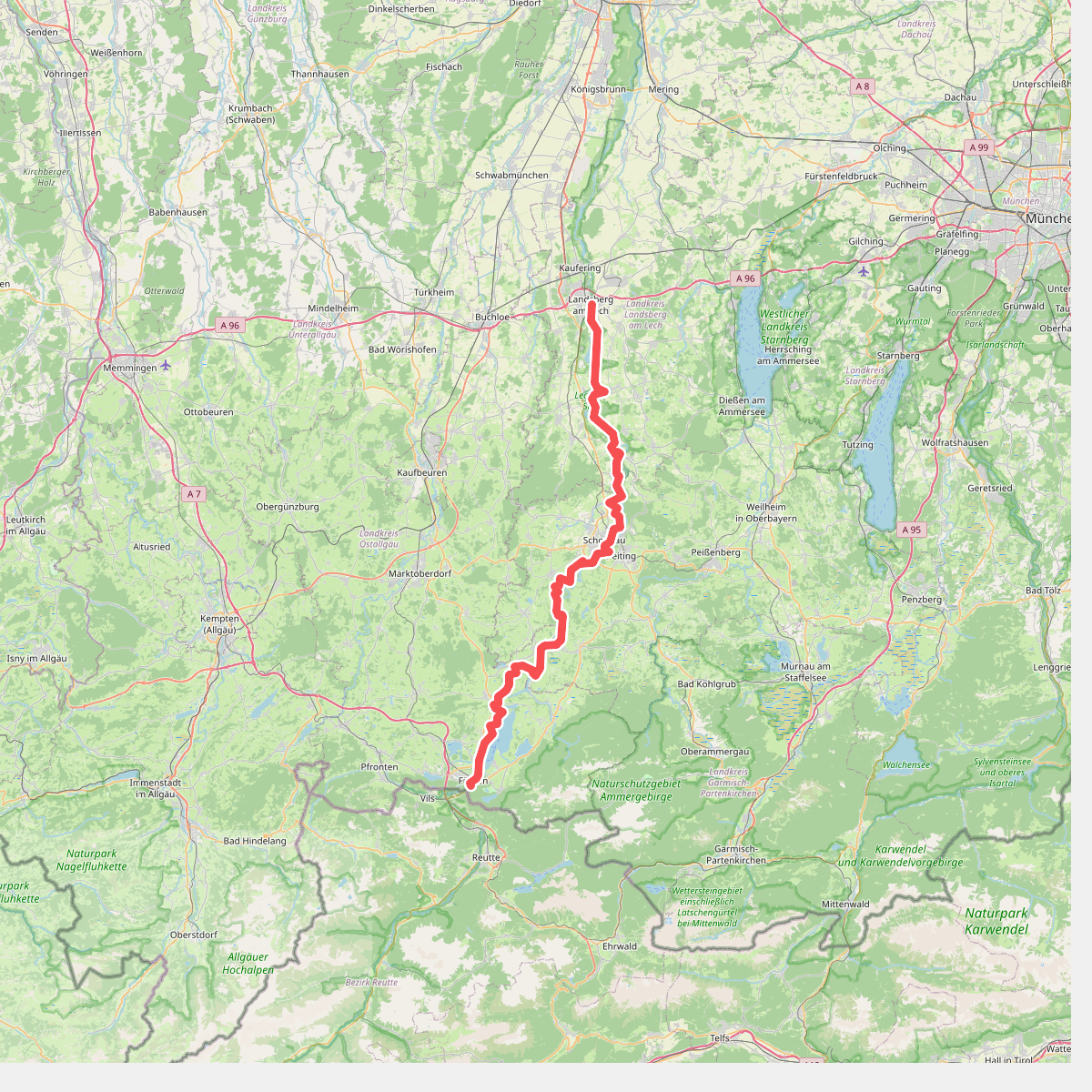
#3. LechErlebnisWeg
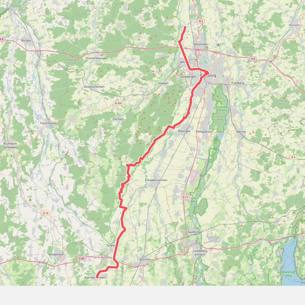
#4. Pfarrer-Kneipp-Weg
Bad Wörishofen,Türkheim,Wiedergeltingen,Ettringen,Scherstetten,Schwabmünchen,Großaitingen,Bobingen,Wehringen,Augsburg,Gersthofen,Gablingen




