


The best hiking routes in Naturpark Bayerischer Odenwald
Discover the best walks in Naturpark Bayerischer Odenwald. 228 routes on the map, with descriptions, photos and GPX.
About Naturpark Bayerischer Odenwald
The Naturpark Bayerischer Odenwald occupies the transition zone where the forested hills of the Bavarian Odenwald slope down toward the Main river valley. Unlike the high-elevation alpine regions of southern Germany, this landscape is defined by gently rounded sandstone hills, deep-cut wooded valleys, and quiet agricultural plateaus. The underlying red sandstone dictates the character of the park, visible in the soil color along the paths and the historic stone masonry in the small valley settlements.
Read more
About Naturpark Bayerischer Odenwald
The Naturpark Bayerischer Odenwald occupies the transition zone where the forested hills of the Bavarian Odenwald slope down toward the Main river valley. Unlike the high-elevation alpine regions of southern Germany, this landscape is defined by gently rounded sandstone hills, deep-cut wooded valleys, and quiet agricultural plateaus. The underlying red sandstone dictates the character of the park, visible in the soil color along the paths and the historic stone masonry in the small valley settlements.
Read moreThe Naturpark Bayerischer Odenwald occupies the transition zone where the forested hills of the Bavarian Odenwald slope down toward the Main river valley. Unlike the high-elevation alpine regions of southern Germany, this landscape is defined by gently rounded sandstone hills, deep-cut wooded valleys, and quiet agricultural plateaus. The underlying red sandstone dictates the character of the park, visible in the soil color along the paths and the historic stone masonry in the small valley settlements.
Underfoot, walkers will mostly encounter wide forestry tracks, unpaved agricultural roads, and occasional narrow dirt paths that can become muddy after wet weather. The dense beech and mixed coniferous forests provide deep shade, opening up occasionally to reveal orchards and meadows on the gentler slopes. The terrain requires moderate fitness for the steady climbs out of the valleys, but it lacks the steep, rocky scrambles found in more mountainous areas.
In late April and May, the fresh green of the emerging beech leaves transforms the forest canopy, while the valley meadows fill with wildflowers. The area is generally peaceful, though the trails immediately surrounding historic towns like Miltenberg and Amorbach see more foot traffic on weekends. Walking here offers a consistent, quiet forest experience shaped by centuries of forestry and traditional sandstone quarrying.
Hiking routes in Naturpark Bayerischer Odenwald (228)
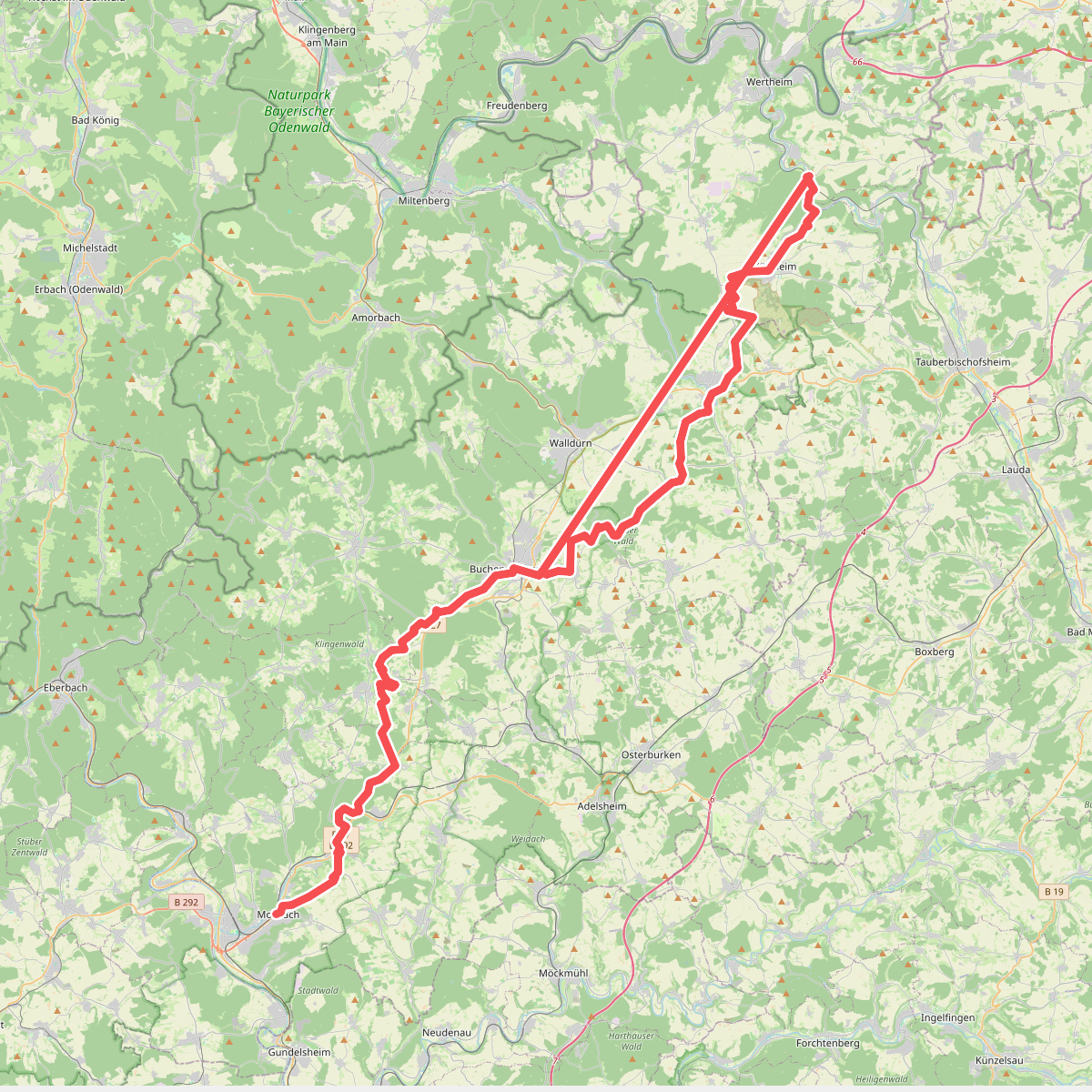
#1. Baulandweg
Mosbach,Limbach,Buchen (Odenwald),Walldürn,Höpfingen,Hardheim,Külsheim,Wertheim

#2. Berndiel 1
Miltenberg

#3. Berndiel 2
Miltenberg

#4. Churfranken-Steig
Erlenbach am Main,Klingenberg am Main

#5. Erlenbach am Main - Grossheubach
Erlenbach am Main,Klingenberg am Main,Großheubach

#6. Erlenbach Planeten-Main-Rundweg
Erlenbach am Main
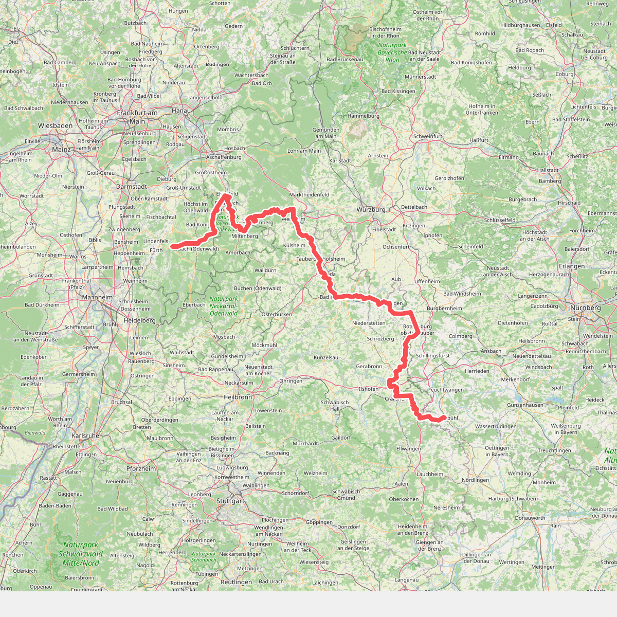
#7. Europäischer Fernwanderweg E8, Baden-Württemberg
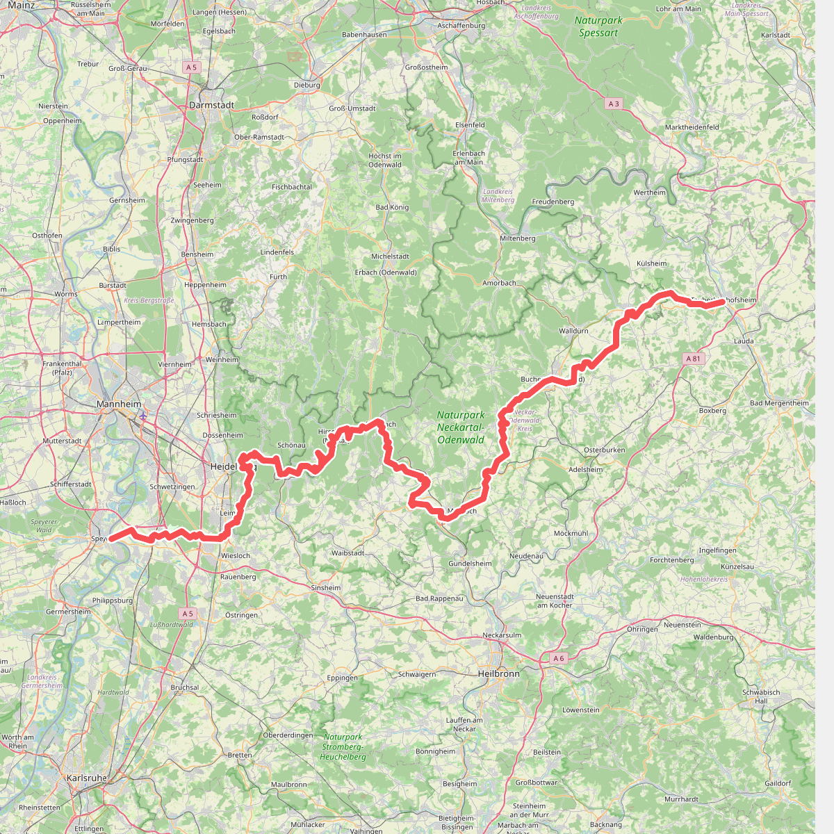
#8. Europäischer Fernwanderweg E8, Südvariante Baden-Württemberg

#9. Fränkischer Marienweg Route 1

#10. Fränkischer Marienweg Route 2

#11. Gebietswanderweg Roter Balken Miltenberg - Steinfurt
Miltenberg,Bürgstadt,Eichenbühl,Hardheim,Külsheim

#12. Gebietswanderweg Rotes X, Elsenfeld Bhf. - Hobbach Neuhammer
Elsenfeld,Forstwald,Hausen,Heimbuchenthal,Eschau




