


The best hiking routes in Naturpark Rhein-Westerwald
Discover the best walks in Naturpark Rhein-Westerwald. 110 routes on the map, with descriptions, photos and GPX.
About Naturpark Rhein-Westerwald
Naturpark Rhein-Westerwald offers a landscape shaped by the transition from the deep Rhine Valley to the rolling basalt highlands of the Westerwald. Walkers will find a clear contrast between the steep, terraced vineyard slopes along the river and the dense, quiet beech and oak forests of the interior plateaus. The terrain is defined by these elevation changes, meaning paths range from steep, rocky vineyard trails to wide, clay-heavy forestry tracks on the higher ground. You will notice old basalt quarries and orchards integrated into the woodland, reflecting the region's agricultural and industrial past.
Read more
About Naturpark Rhein-Westerwald
Naturpark Rhein-Westerwald offers a landscape shaped by the transition from the deep Rhine Valley to the rolling basalt highlands of the Westerwald. Walkers will find a clear contrast between the steep, terraced vineyard slopes along the river and the dense, quiet beech and oak forests of the interior plateaus. The terrain is defined by these elevation changes, meaning paths range from steep, rocky vineyard trails to wide, clay-heavy forestry tracks on the higher ground. You will notice old basalt quarries and orchards integrated into the woodland, reflecting the region's agricultural and industrial past.
Read moreNaturpark Rhein-Westerwald offers a landscape shaped by the transition from the deep Rhine Valley to the rolling basalt highlands of the Westerwald. Walkers will find a clear contrast between the steep, terraced vineyard slopes along the river and the dense, quiet beech and oak forests of the interior plateaus. The terrain is defined by these elevation changes, meaning paths range from steep, rocky vineyard trails to wide, clay-heavy forestry tracks on the higher ground. You will notice old basalt quarries and orchards integrated into the woodland, reflecting the region's agricultural and industrial past.
Underfoot, the paths vary significantly depending on your choice of route. The riverside trails feature stony, narrow paths that require steady footing, while the inland forest routes are generally broader, dirt-and-gravel tracks. In October, the beech forests on the heights turn a deep copper, making this the best time to observe the natural woodland canopy. The area does not offer high alpine peaks or dramatic gorges, but rather a constant alternation between enclosed woodland paths and sudden views over the river valley.
While the well-known viewpoints directly overlooking the Rhine can attract more visitors, the deeper forest trails toward the Wied Valley are often much quieter. This park is suited for those who enjoy steady, moderate climbs through working forests and along river terraces, rather than flat plains or high-altitude mountain trekking.
Hiking routes in Naturpark Rhein-Westerwald (110)
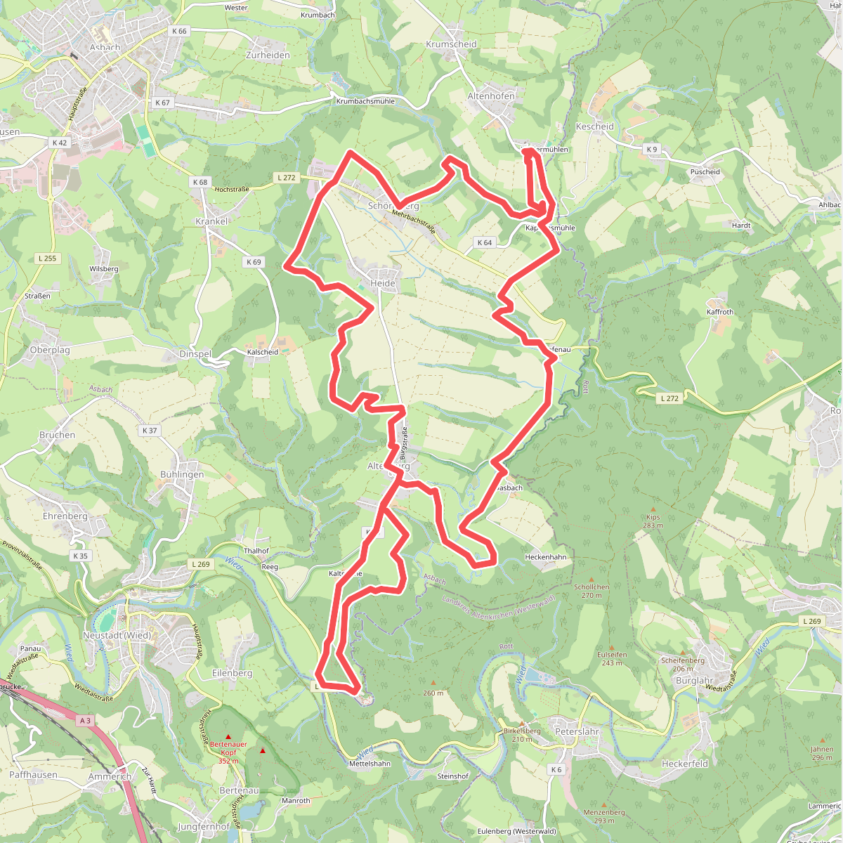
#1. [A2] Kapellenweg
Asbach
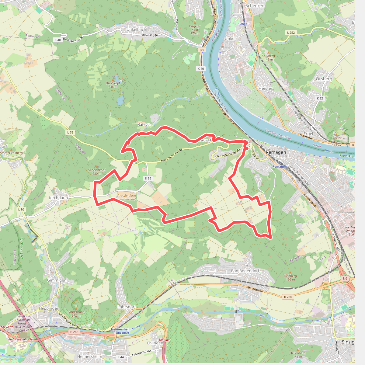
#2. Apollinaris-Schleife (Rheinburgenweg Rundtour)
Remagen,Bad Neuenahr-Ahrweiler
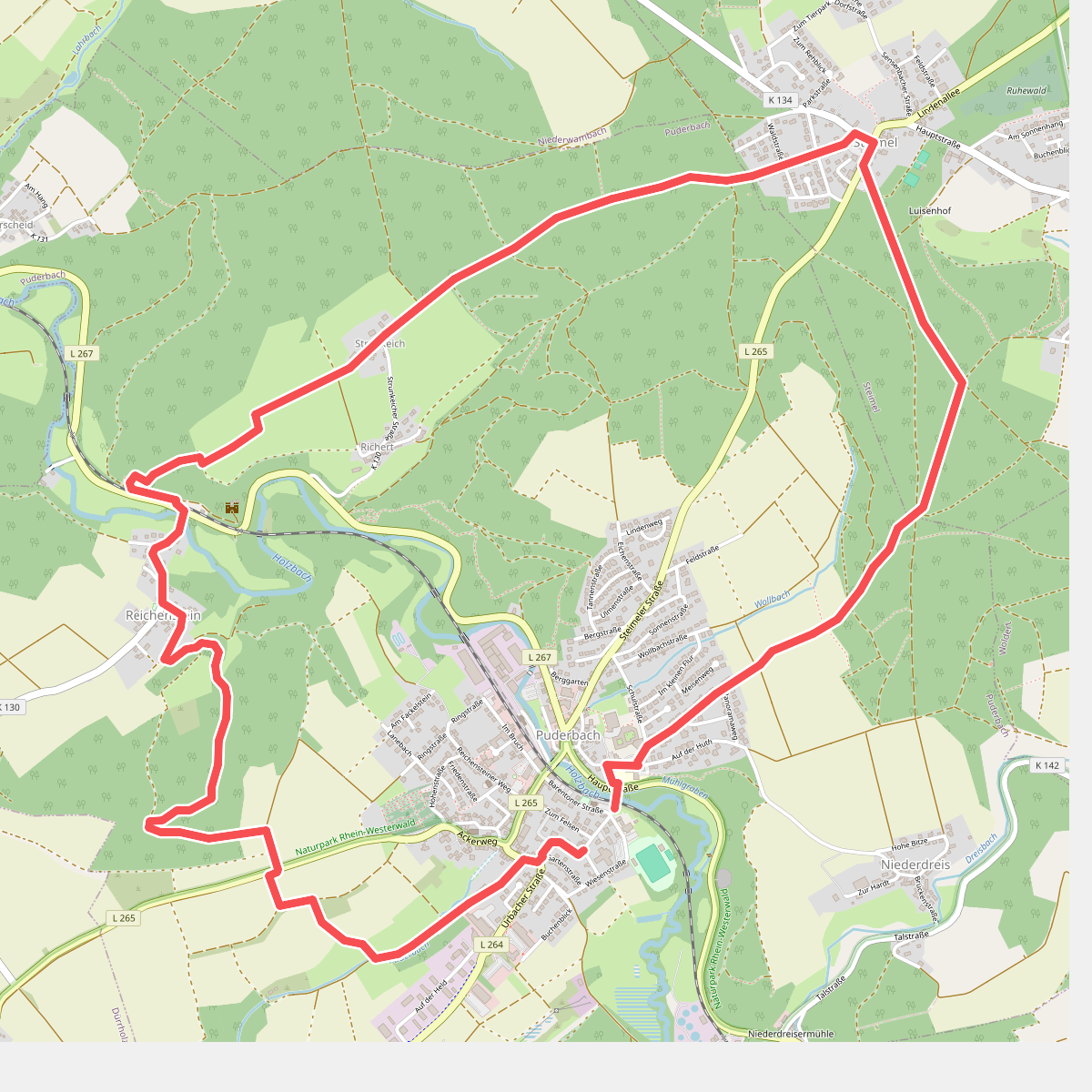
#3. [B1] Burgweg 1
Puderbach,Steimel
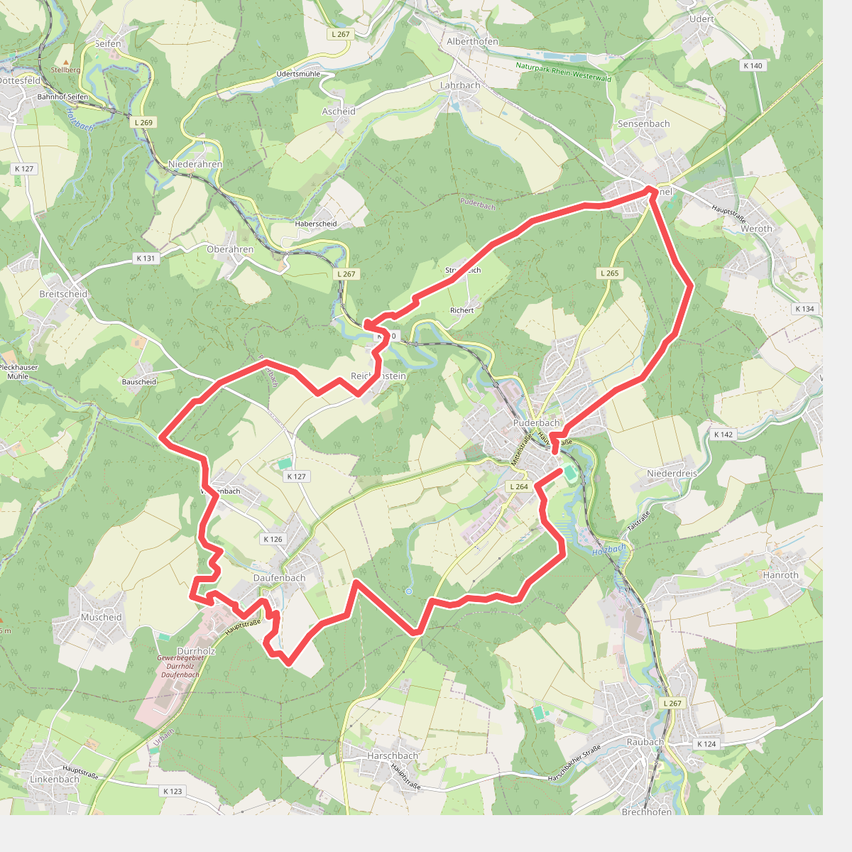
#4. [B2] Burgweg 2
Dürrholz,Puderbach,Döttesfeld,Steimel
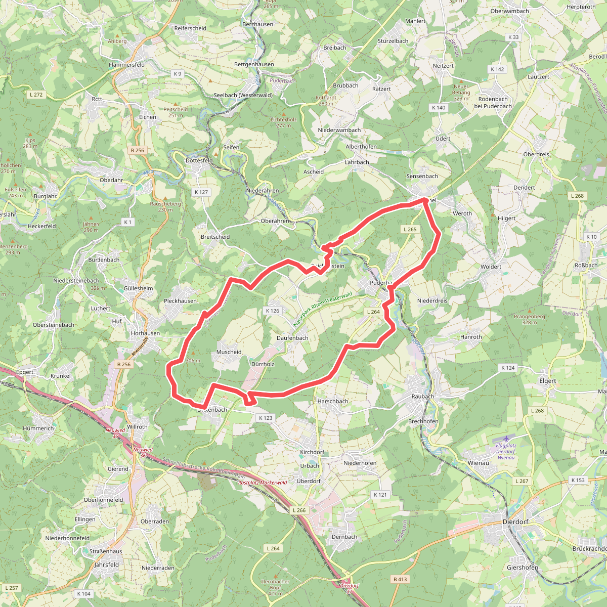
#5. [B3] Burgweg 3
Harschbach,Urbach,Linkenbach,Horhausen (Westerwald),Pleckhausen,Dürrholz,Döttesfeld,Puderbach,Steimel
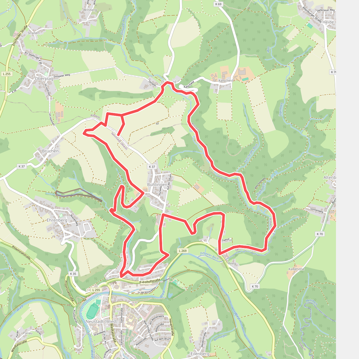
#6. Bühlinger Weg
Asbach,Neustadt (Wied)
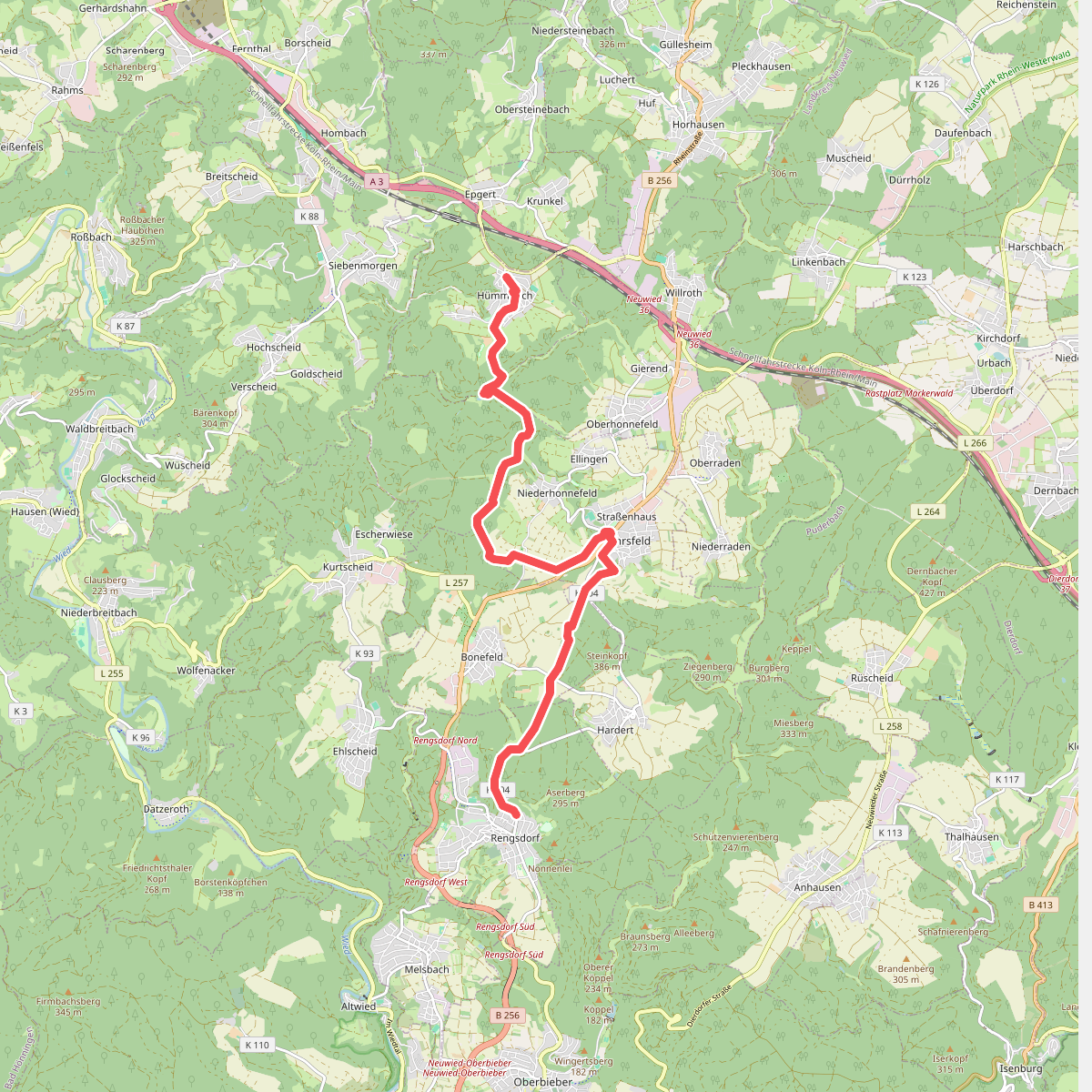
#7. Butterpfad
Hümmerich,Straßenhaus,Bonefeld,Rengsdorf
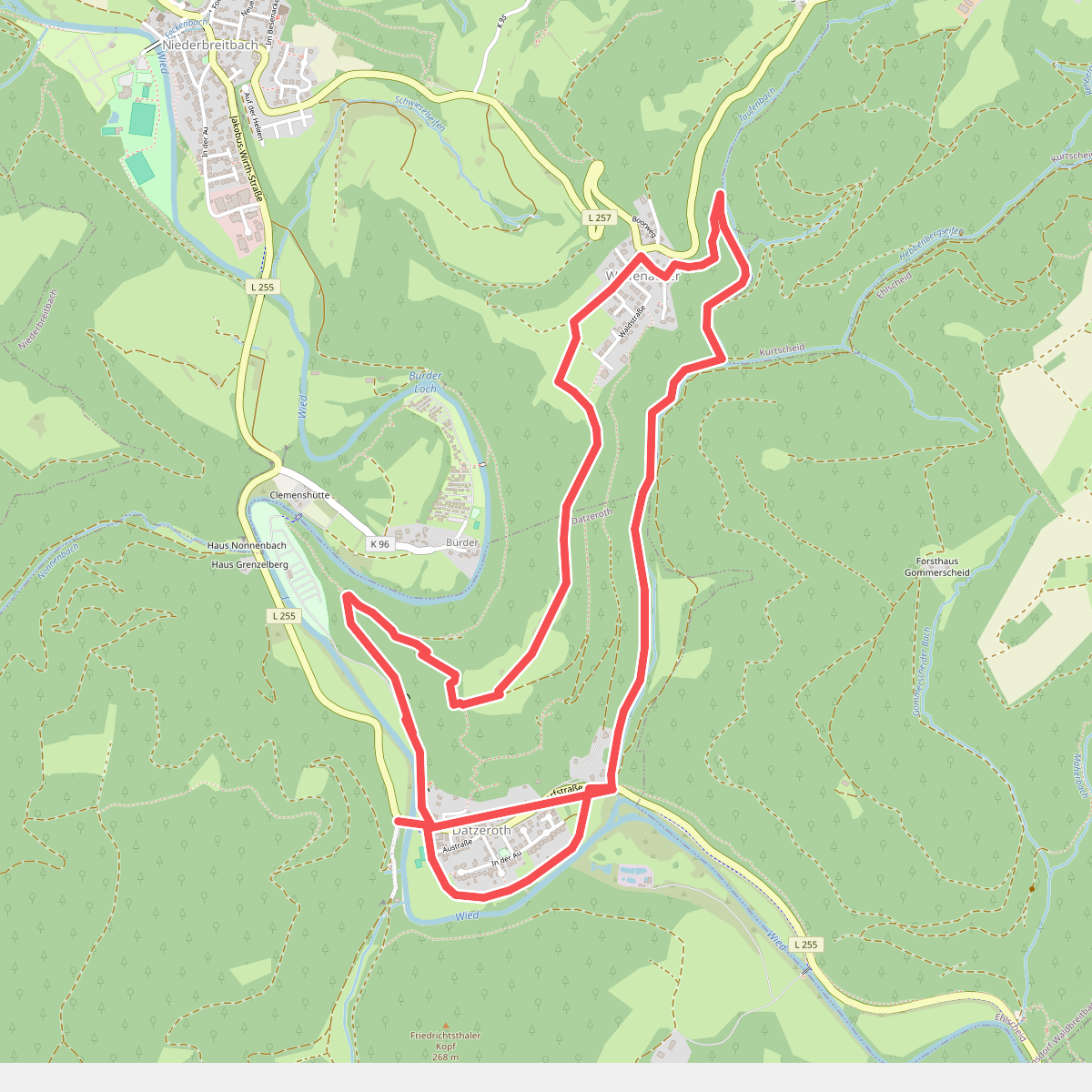
#8. D1 Datzeroth
Datzeroth,Niederbreitbach
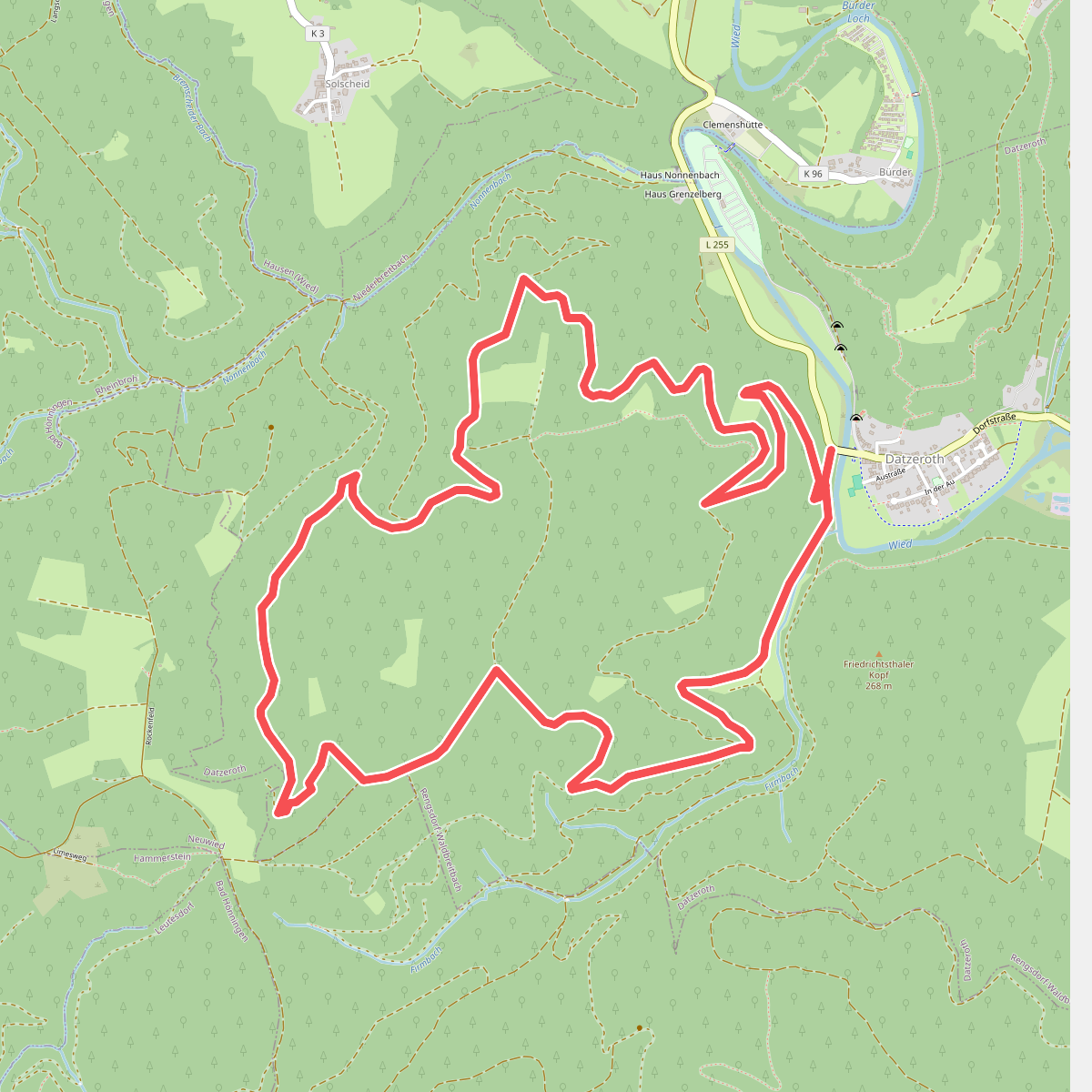
#9. D2 Datzeroth
Datzeroth
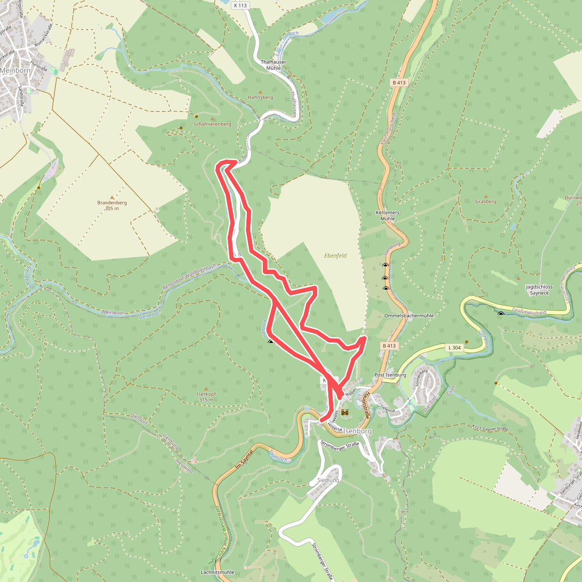
#10. Ebenfeld, Iserblick und Isertal
Isenburg,Meinborn
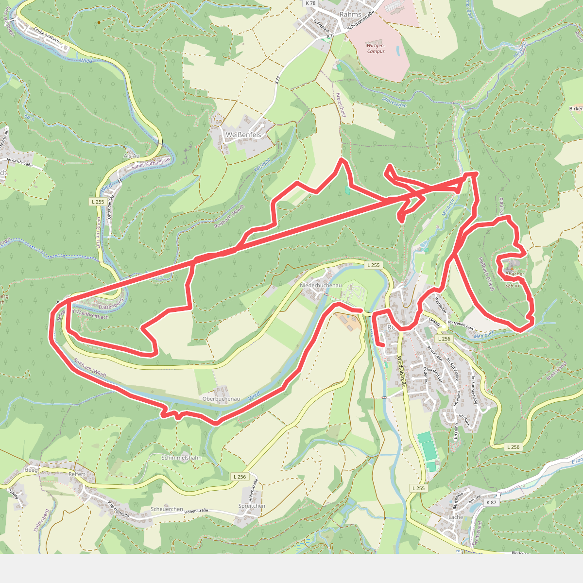
#11. Erlebnisschleife Basaltbogen
Roßbach (Wied),Dattenberg,Breitscheid
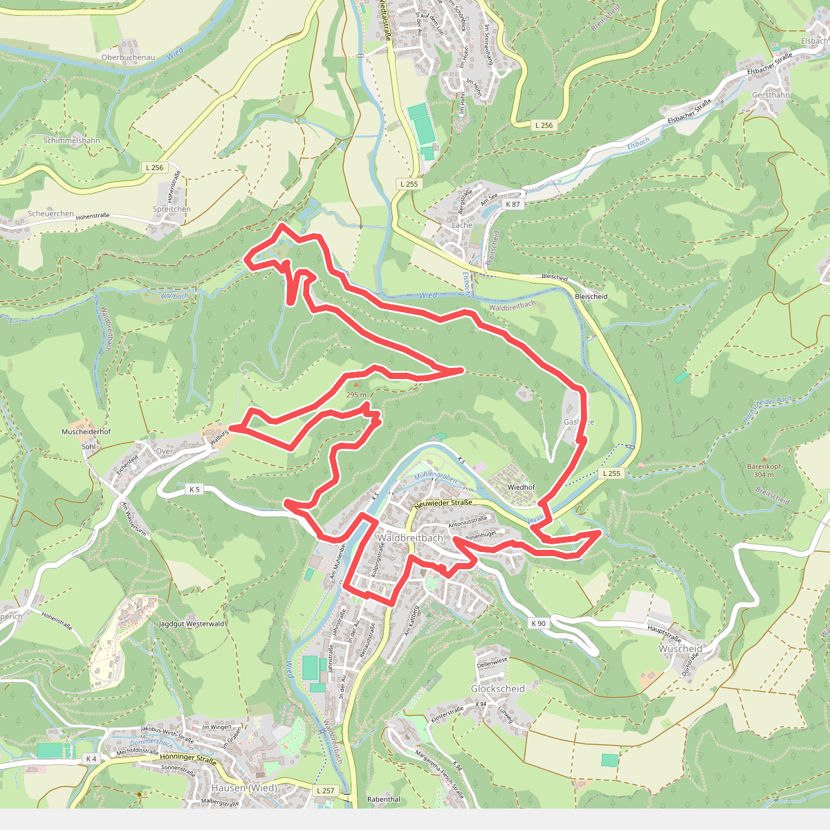
#12. Erlebnisschleife Katzenschleif
Waldbreitbach




