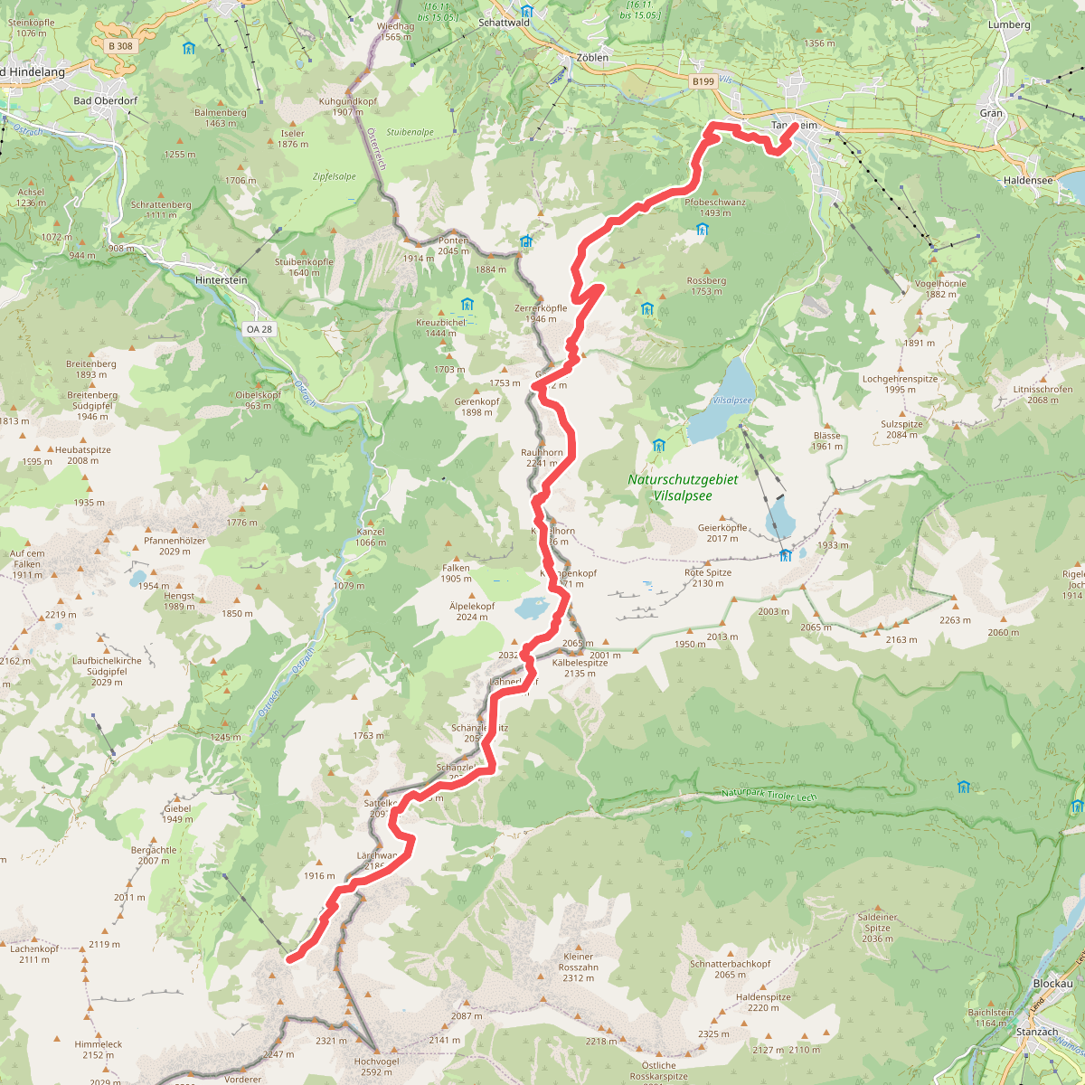
The best hiking routes in Naturpark Tiroler Lech
Discover the best walks in Naturpark Tiroler Lech. 27 routes on the map, with descriptions, photos and GPX.
About Naturpark Tiroler Lech
Naturpark Tiroler Lech is defined by its wide, gravelly riverbed, where the Lech River constantly reshapes the valley floor. Unlike regulated rivers, this waterway splits into multiple shifting channels, leaving vast banks of light-coloured limestone gravel and sand. As you walk near the water, you will notice how the vegetation adapts to this unstable ground, transitioning from bare stones to hardy alpine dry-grass meadows and dense willow scrub. The terrain is mostly flat or gently sloping along the valley floor, meaning you will not find steep mountain climbs or high-altitude peaks within the park boundaries, but rather a wide, open river corridor.
Read more
About Naturpark Tiroler Lech
Naturpark Tiroler Lech is defined by its wide, gravelly riverbed, where the Lech River constantly reshapes the valley floor. Unlike regulated rivers, this waterway splits into multiple shifting channels, leaving vast banks of light-coloured limestone gravel and sand. As you walk near the water, you will notice how the vegetation adapts to this unstable ground, transitioning from bare stones to hardy alpine dry-grass meadows and dense willow scrub. The terrain is mostly flat or gently sloping along the valley floor, meaning you will not find steep mountain climbs or high-altitude peaks within the park boundaries, but rather a wide, open river corridor.
Read moreNaturpark Tiroler Lech is defined by its wide, gravelly riverbed, where the Lech River constantly reshapes the valley floor. Unlike regulated rivers, this waterway splits into multiple shifting channels, leaving vast banks of light-coloured limestone gravel and sand. As you walk near the water, you will notice how the vegetation adapts to this unstable ground, transitioning from bare stones to hardy alpine dry-grass meadows and dense willow scrub. The terrain is mostly flat or gently sloping along the valley floor, meaning you will not find steep mountain climbs or high-altitude peaks within the park boundaries, but rather a wide, open river corridor.
Underfoot, the trails vary from wide, hard-packed gravel forestry tracks to narrow, stony paths that wind through the riparian forests. In some sections, the path leads through moist alluvial woodlands dominated by grey alder, while other trails cross dry pine forests growing on old gravel terraces. The walking is generally straightforward, though the stony nature of the riverbanks requires stable footing. Because the river is active, some trail sections close to the water may be diverted or rougher after high water levels.
In May and June, the dry gravel meadows along the Lech come alive with flowering mountain avens and various orchid species, which are highly visible from the marked paths. The park is easily accessible from the villages along the valley, meaning areas near the main bridges and towns are often busier, while the long stretches of forest and gravel banks between the settlements offer a much quieter walking experience.
Hiking routes in Naturpark Tiroler Lech (27)
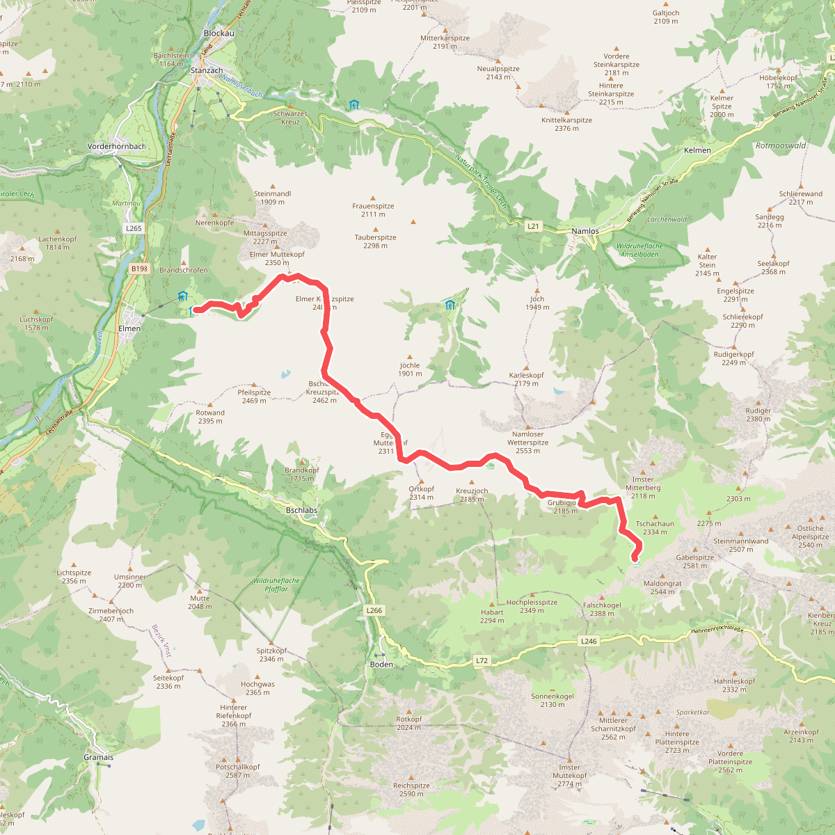
#1. Anhalter Höhenweg
Elmen,Stanzach,Pfafflar,Imst
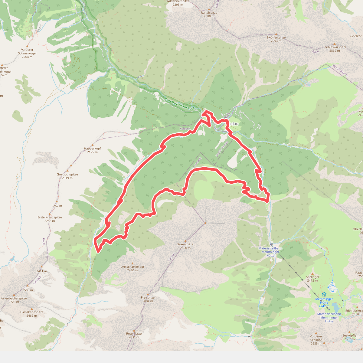
#2. Anna Stainer-Knittel Gedenkweg
Zams,Kaisers,Bach
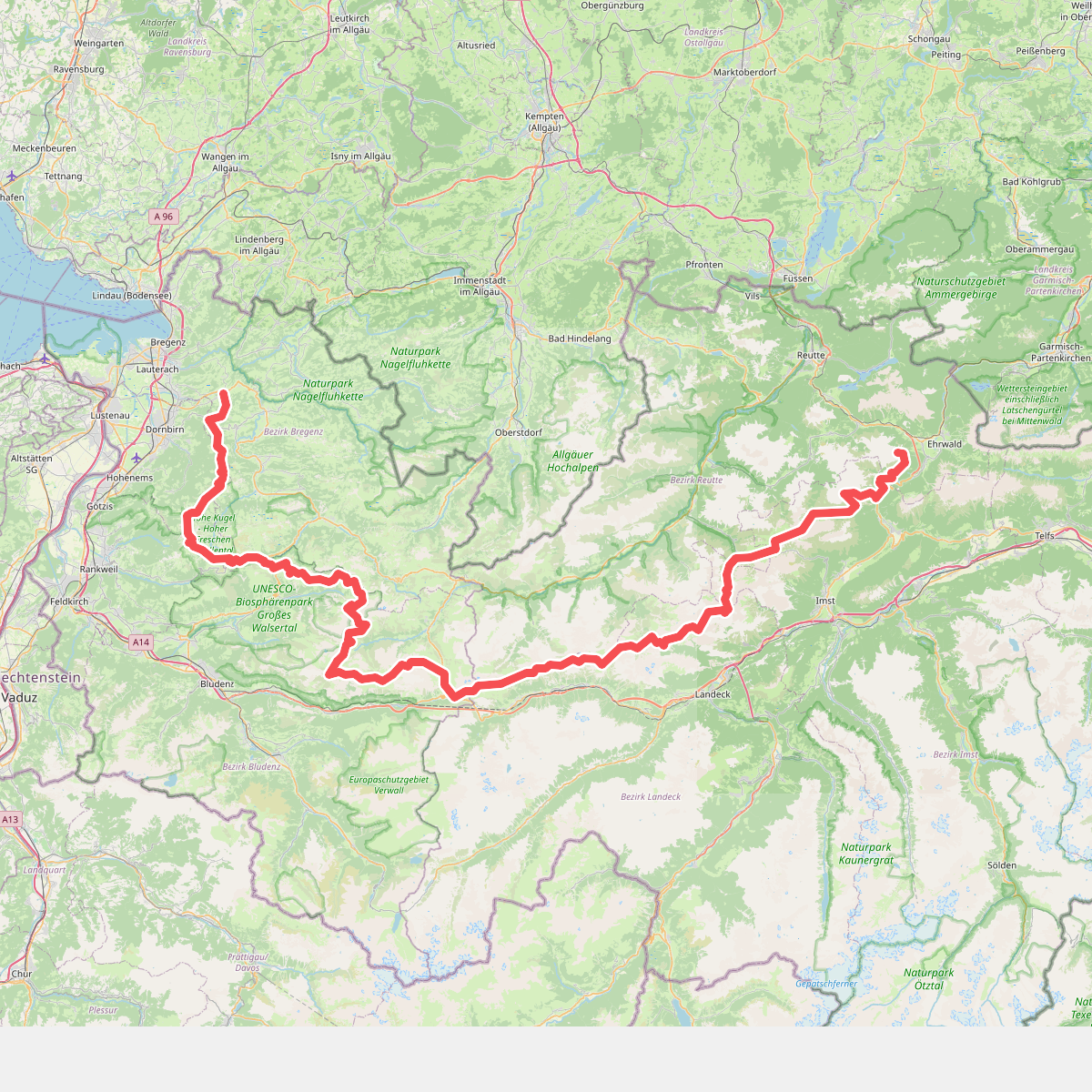
#3. [E4] Europäischer Fernwanderweg [003]
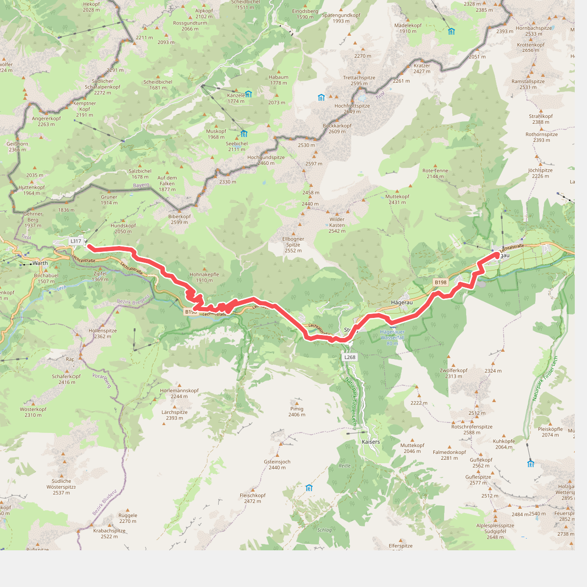
#4. Lechleiten - Holzgau · Lechweg etappe 3
Steeg,Holzgau
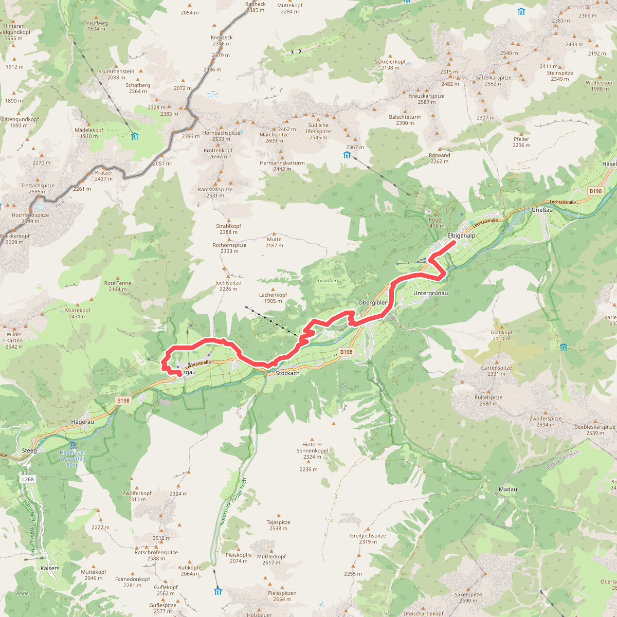
#5. Holzgau - Elbigenalp · Lechweg etappe 4
Holzgau,Bach,Elbigenalp
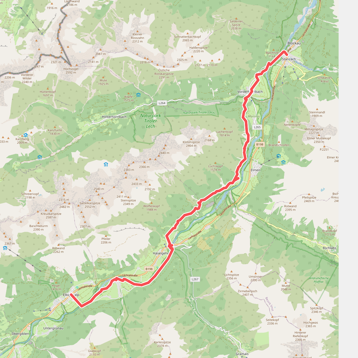
#6. Elbigenalp - Stanzach · Lechweg etappe 5
Elbigenalp,Häselgehr,Elmen,Vorderhornbach,Stanzach
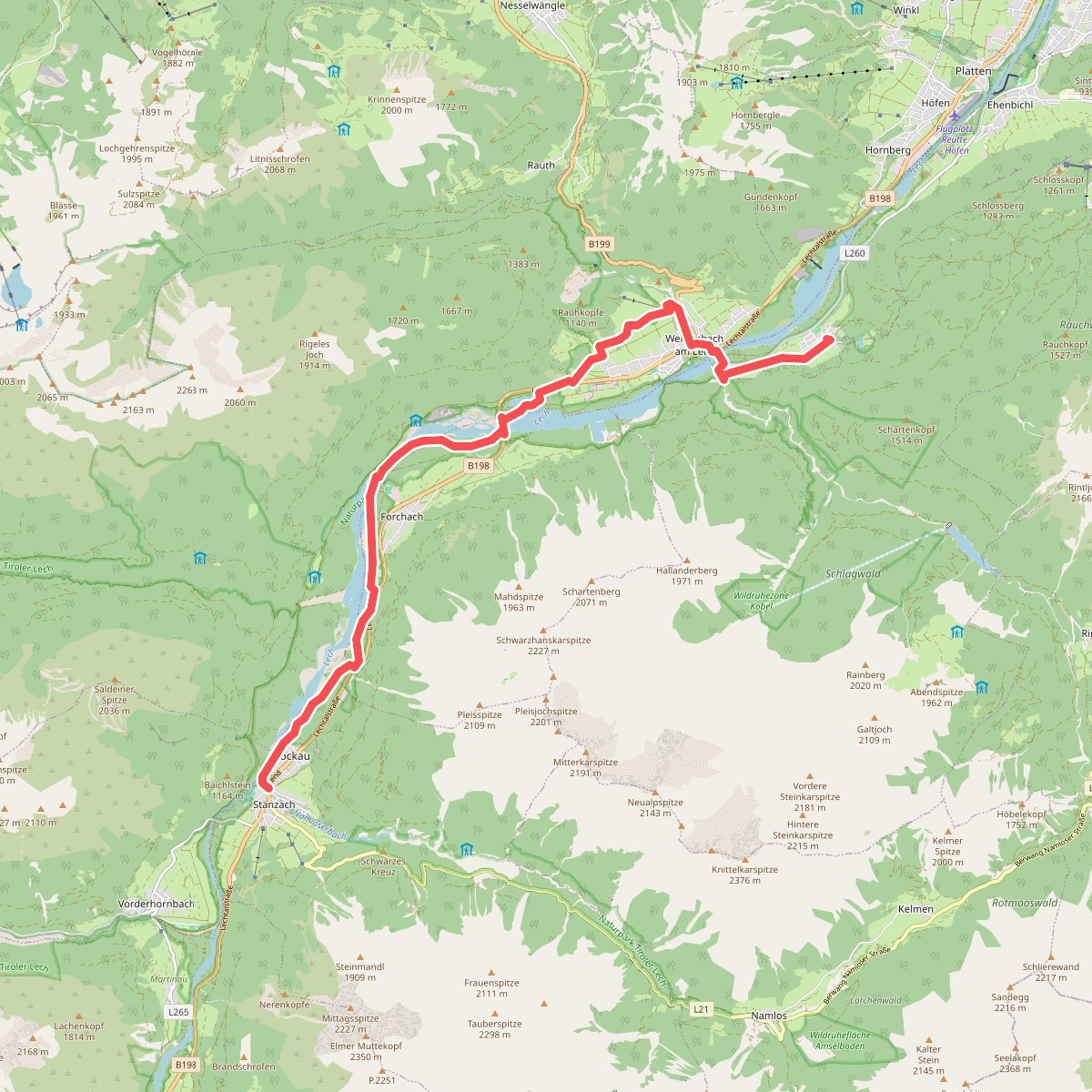
#7. Stanzach - Rieden · Lechweg etappe 6
Stanzach,Forchach,Weißenbach am Lech,Ehenbichl
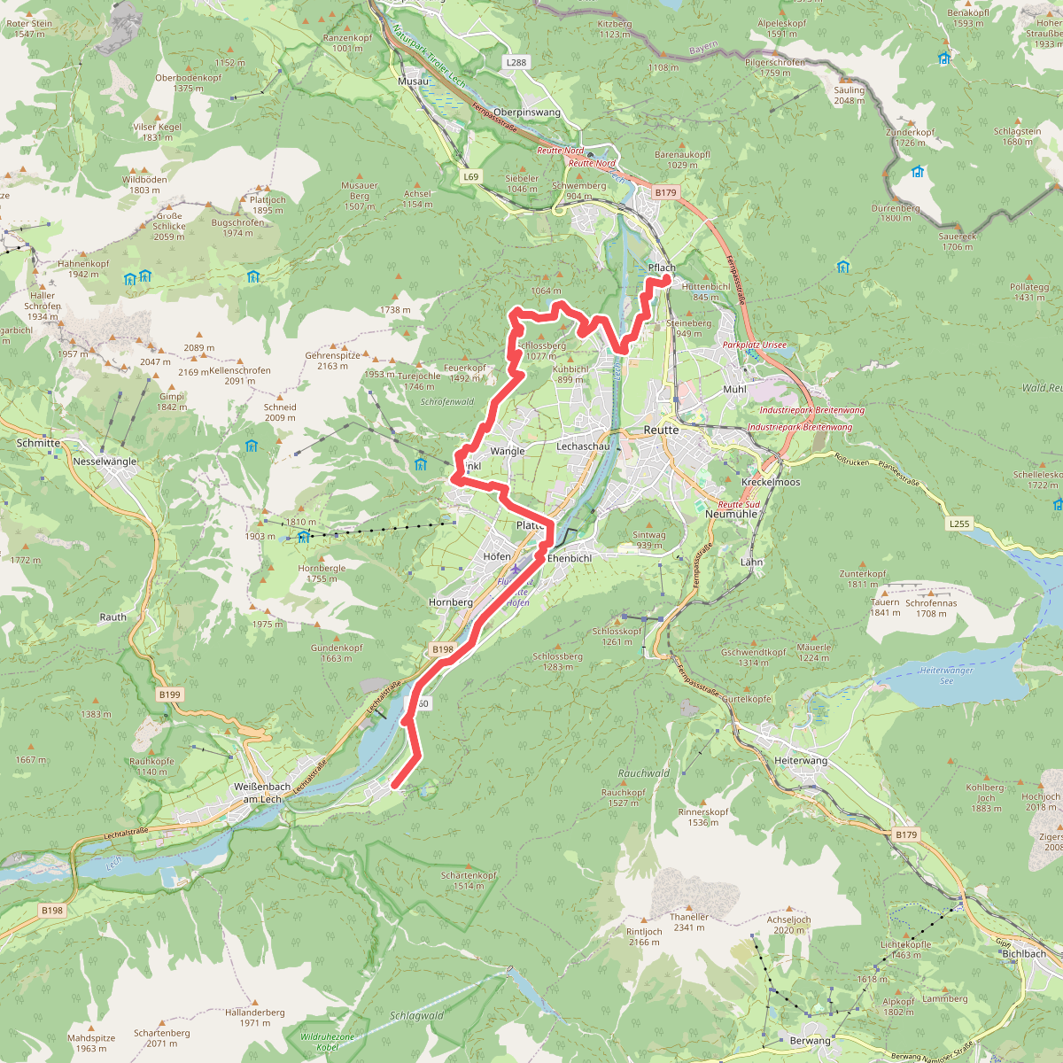
#8. Rieden - Pflach · Lechweg etappe 7
Ehenbichl,Höfen,Wängle,Lechaschau,Reutte,Pflach
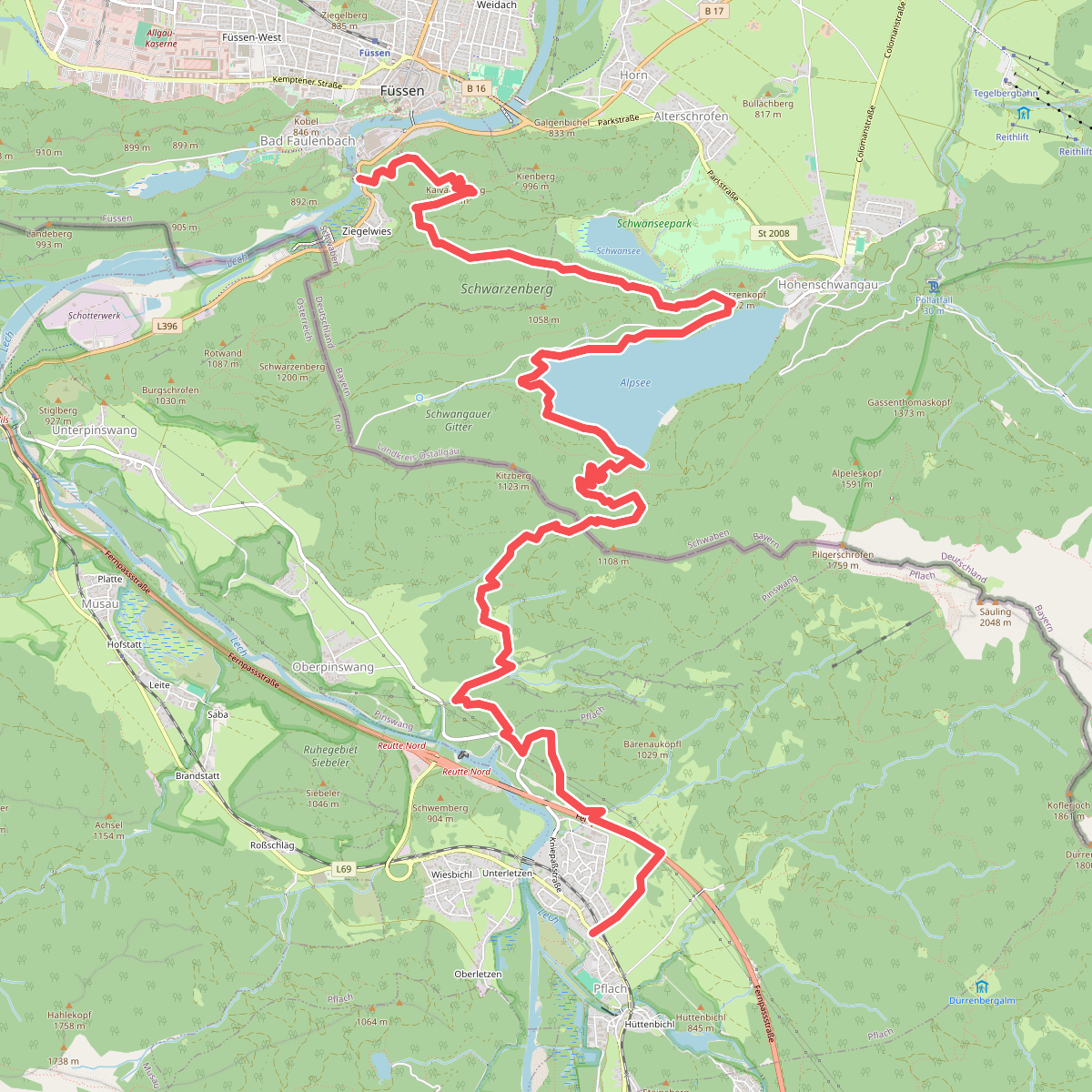
#9. Pflach - Füssen · Lechweg etappe 8
Pflach,Pinswang,Schwangau,Füssen
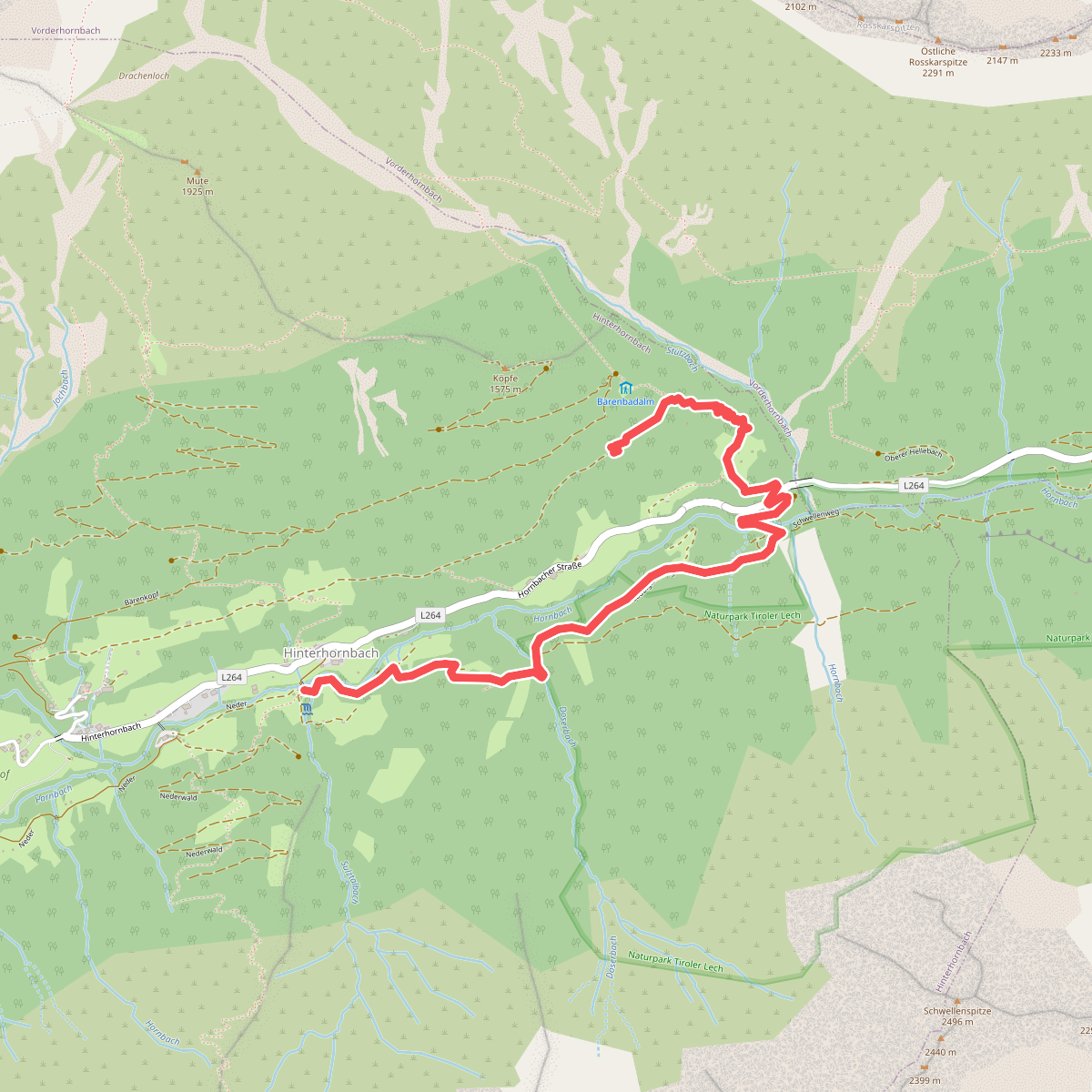
#10. Nederpfad
Hinterhornbach
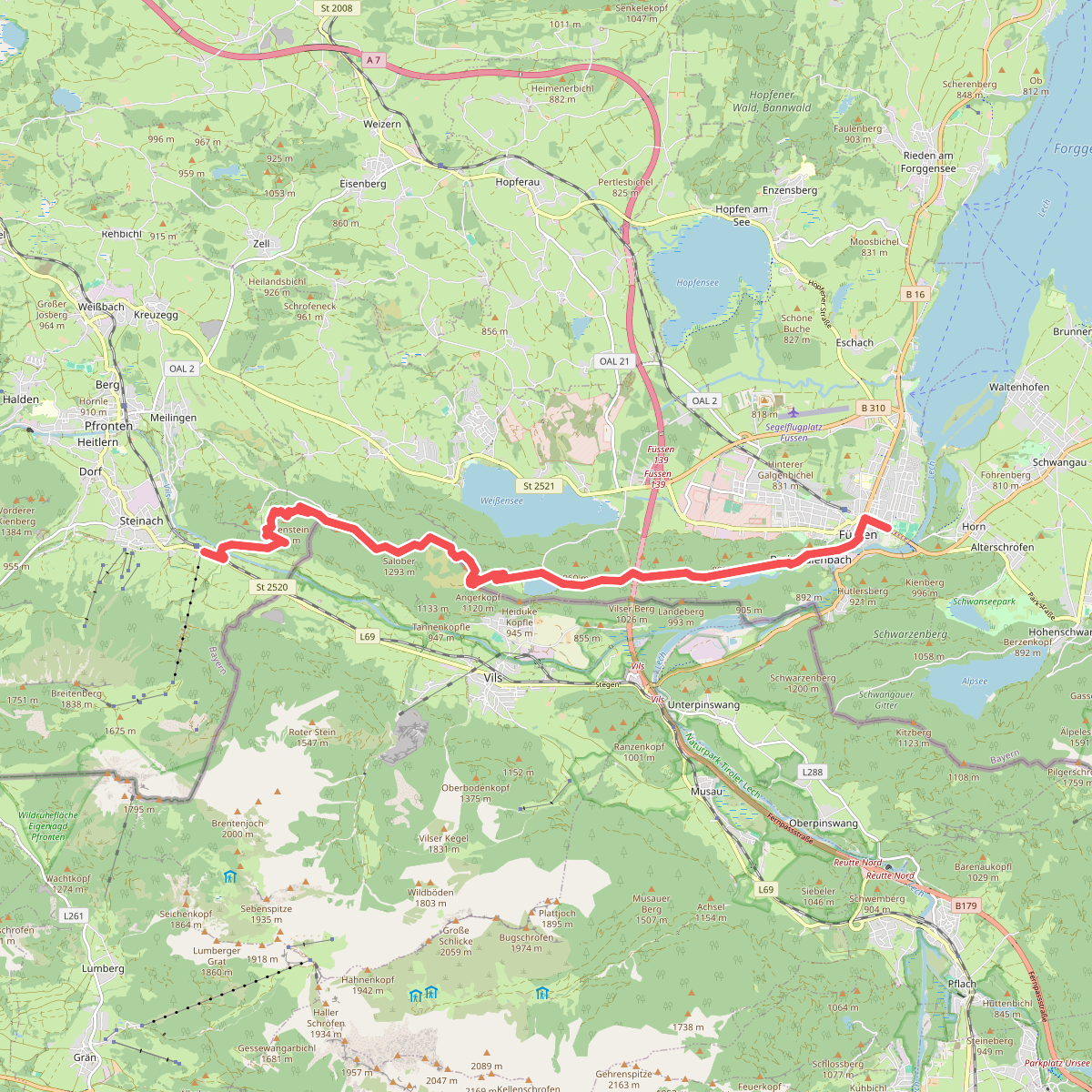
#11. Via Alpina Purple A63