


The best hiking routes in Oostelijke Vechtplassen
Discover the best walks in Oostelijke Vechtplassen. 29 routes on the map, with descriptions, photos and GPX.
Managed by Staatsbosbeheer;Natuurmonumenten;Rijkswaterstaat

About Oostelijke Vechtplassen
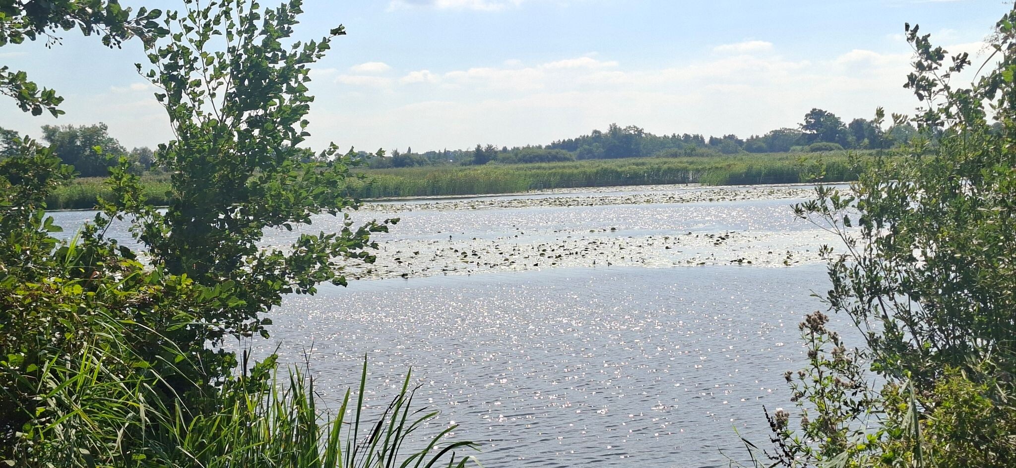
The Oostelijke Vechtplassen is a low-lying landscape shaped entirely by historical peat extraction, resulting in a distinct pattern of long, narrow water strips and thin strips of land known as petgaten and legakkers. Walking here means navigating a watery maze where the ground underfoot transitions between damp grassy dykes, wooden boardwalks, and paved cycle paths. Unlike the dry, sandy forests of the nearby Utrecht Hill Ridge, this area is defined by open water, reed beds, and swamp forests of alder and willow.
Read more
About Oostelijke Vechtplassen
The Oostelijke Vechtplassen is a low-lying landscape shaped entirely by historical peat extraction, resulting in a distinct pattern of long, narrow water strips and thin strips of land known as petgaten and legakkers. Walking here means navigating a watery maze where the ground underfoot transitions between damp grassy dykes, wooden boardwalks, and paved cycle paths. Unlike the dry, sandy forests of the nearby Utrecht Hill Ridge, this area is defined by open water, reed beds, and swamp forests of alder and willow.
Read moreThe Oostelijke Vechtplassen is a low-lying landscape shaped entirely by historical peat extraction, resulting in a distinct pattern of long, narrow water strips and thin strips of land known as petgaten and legakkers. Walking here means navigating a watery maze where the ground underfoot transitions between damp grassy dykes, wooden boardwalks, and paved cycle paths. Unlike the dry, sandy forests of the nearby Utrecht Hill Ridge, this area is defined by open water, reed beds, and swamp forests of alder and willow.
Because of the high water table, many paths are dead ends that terminate at a lake edge or a bird hide, requiring careful route planning. You will notice how the vegetation changes from dense, shady carr forest to wide views across the shallow lakes, where water lilies bloom in July. The terrain is flat, with no elevation changes, and the walking is dominated by straight lines dictated by the old parcel boundaries.
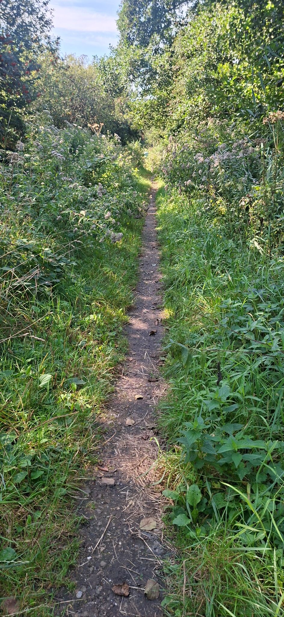
While some sections are paved and shared with cyclists, the unpaved grassy footpaths can feel rough and uneven. The area is managed by several conservation bodies, meaning access rules vary, and some dykes are closed during the spring breeding season to protect nesting marsh birds.
Hiking routes in Oostelijke Vechtplassen (29)

#1. Maartensdijk - Breukelen · Marskramerpad etappe 15
Breukelen,Tienhoven,Hilversum,Hollandsche Rading,Maartensdijk


#2. Station Hilversum - Station Hilversum Sportpark · Westerborkpad etappe 6
Hilversum,Loosdrecht

#3. Hardlooproute Vredevoetpad
Tienhoven


#4. Loenen a.d. Vecht - Utrecht · Jacobsweg Amstelredam etappe 6
Loenen aan de Vecht,Nieuwersluis,Breukelen,Tienhoven,Maarssen,Oud Zuilen,Utrecht


#5. Kortenhoef - Nieuwer ter Aa · Floris V-pad etappe 3
Nieuwersluis,Loenen aan de Vecht,Vreeland,Kortenhoef,Loosdrecht,Hilversum,'s-Graveland

#6. Stationswandeling Utrecht Zuilen – Maarssen
Utrecht,Maarssen,Tienhoven


#7. Hollandse Rading - Maarssen · Utrechtpad etappe 10
Hilversum,Hollandsche Rading,Tienhoven,Maarssen

#8. 5km
Loosdrecht,Hilversum


#9. Abcoude - 's Graveland · Noord-Hollandpad etappe 15
Kortenhoef,Ankeveen,Nederhorst den Berg,Vreeland,Nigtevecht,Abcoude,Amsterdam

#10. Bergsepadroute (rood)
Ankeveen,'s-Graveland,Hilversum,Kortenhoef,Nederhorst den Berg,Weesp

#11. Hardlooproute Ankeveense Plassen
Kortenhoef,Ankeveen,Nederhorst den Berg,Weesp,'s-Graveland,Hilversum,Bussum

#12. Hollandse waterlinie Maarssen
Tienhoven,Maarssen,Hilversum,Westbroek




