


The best hiking routes in Oosterschelde
Discover the best walks in Oosterschelde. 56 routes on the map, with descriptions, photos and GPX.
Managed by Staatsbosbeheer;Natuurmonumenten;Rijkswaterstaat
About Oosterschelde
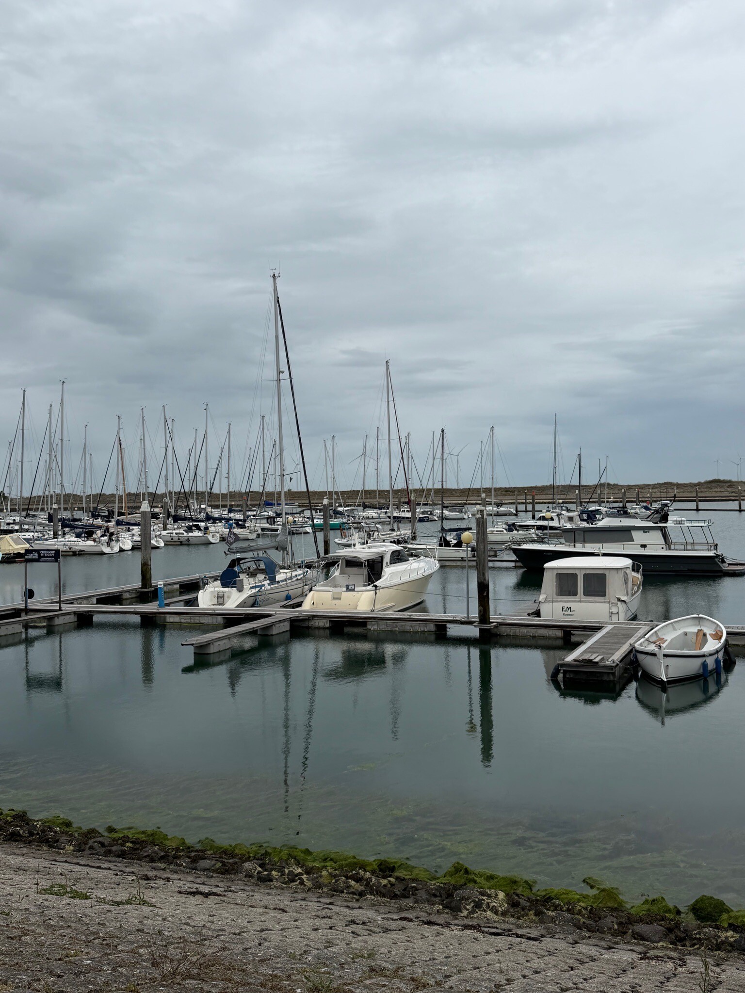
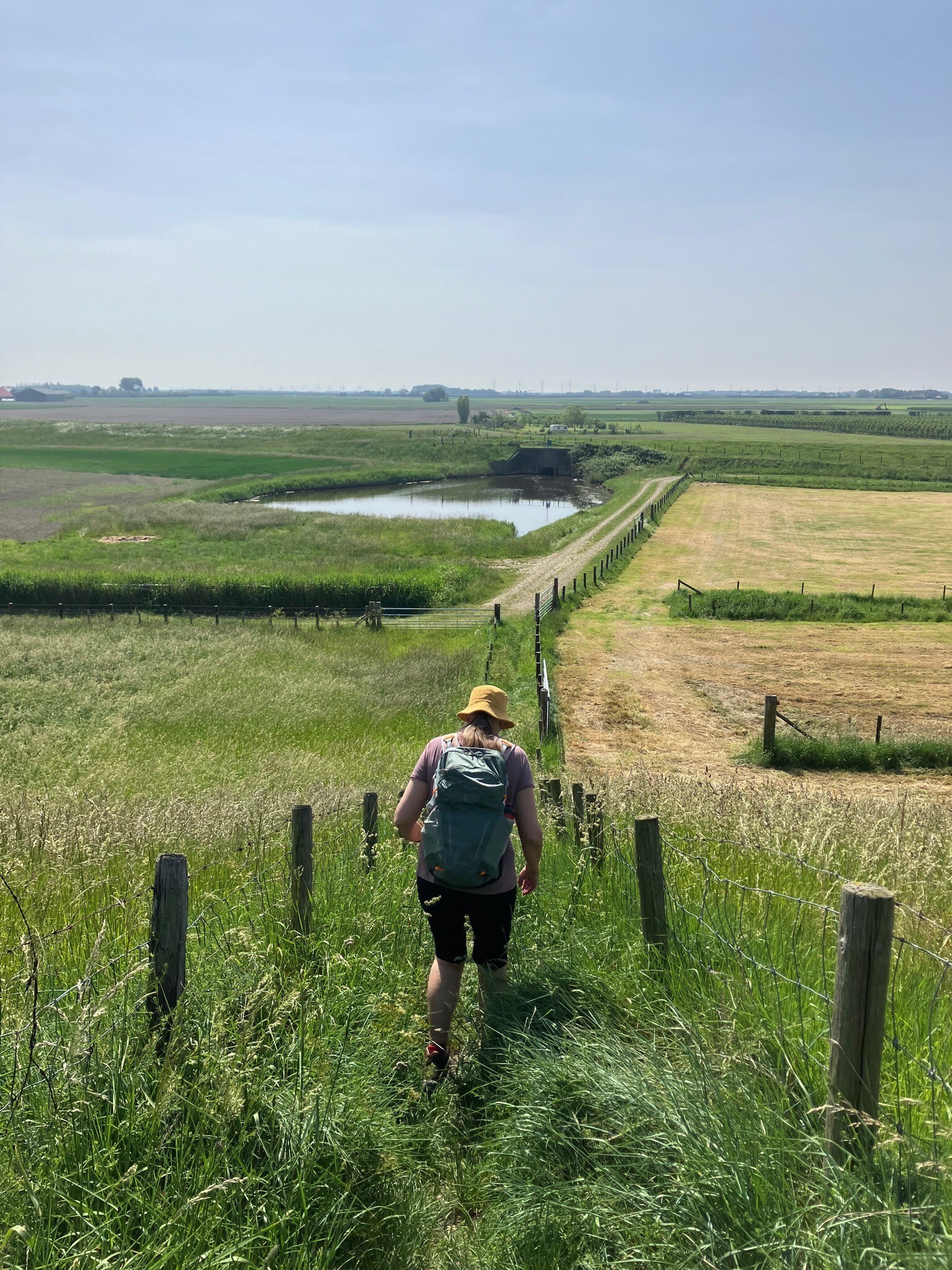
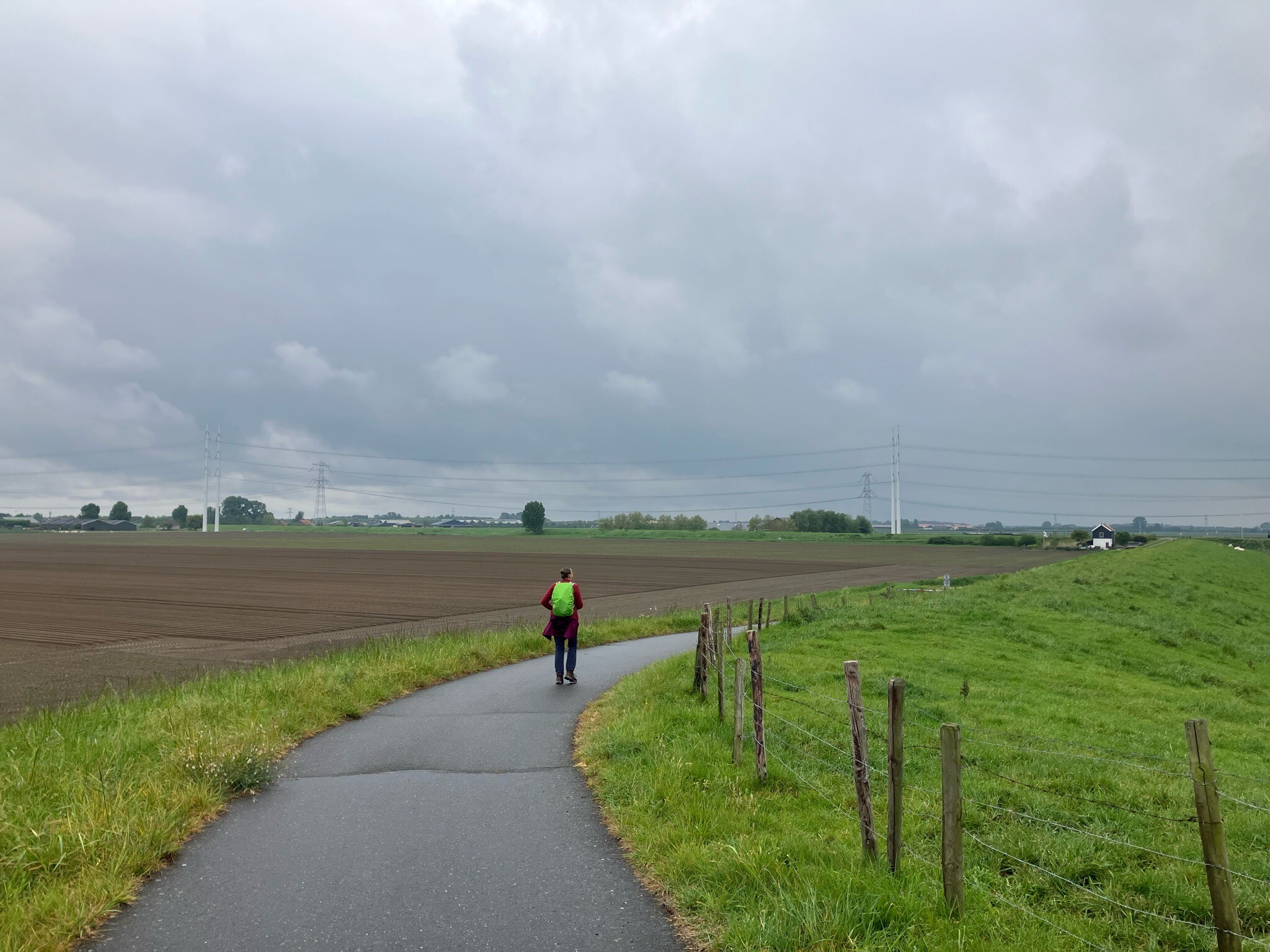
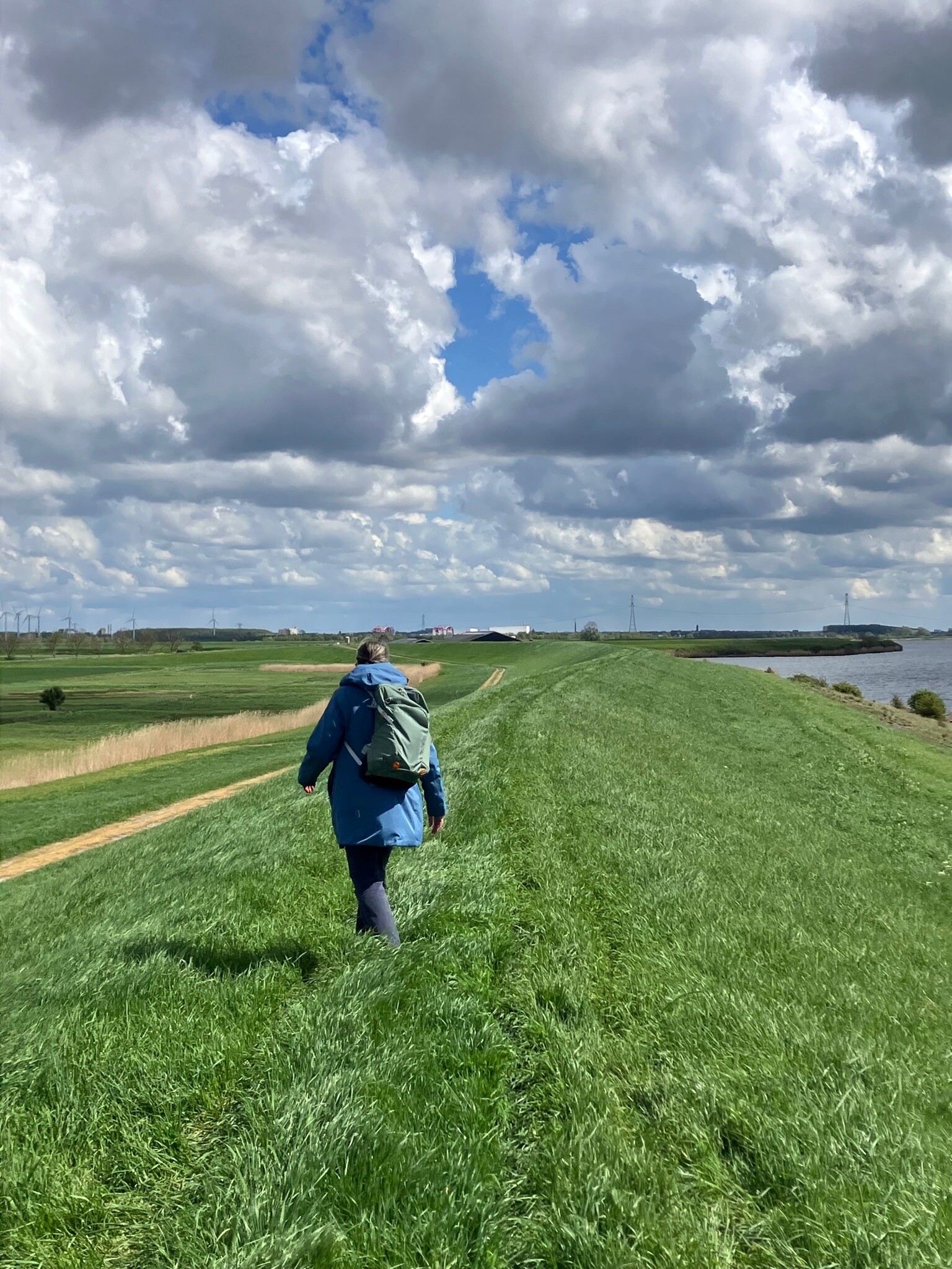
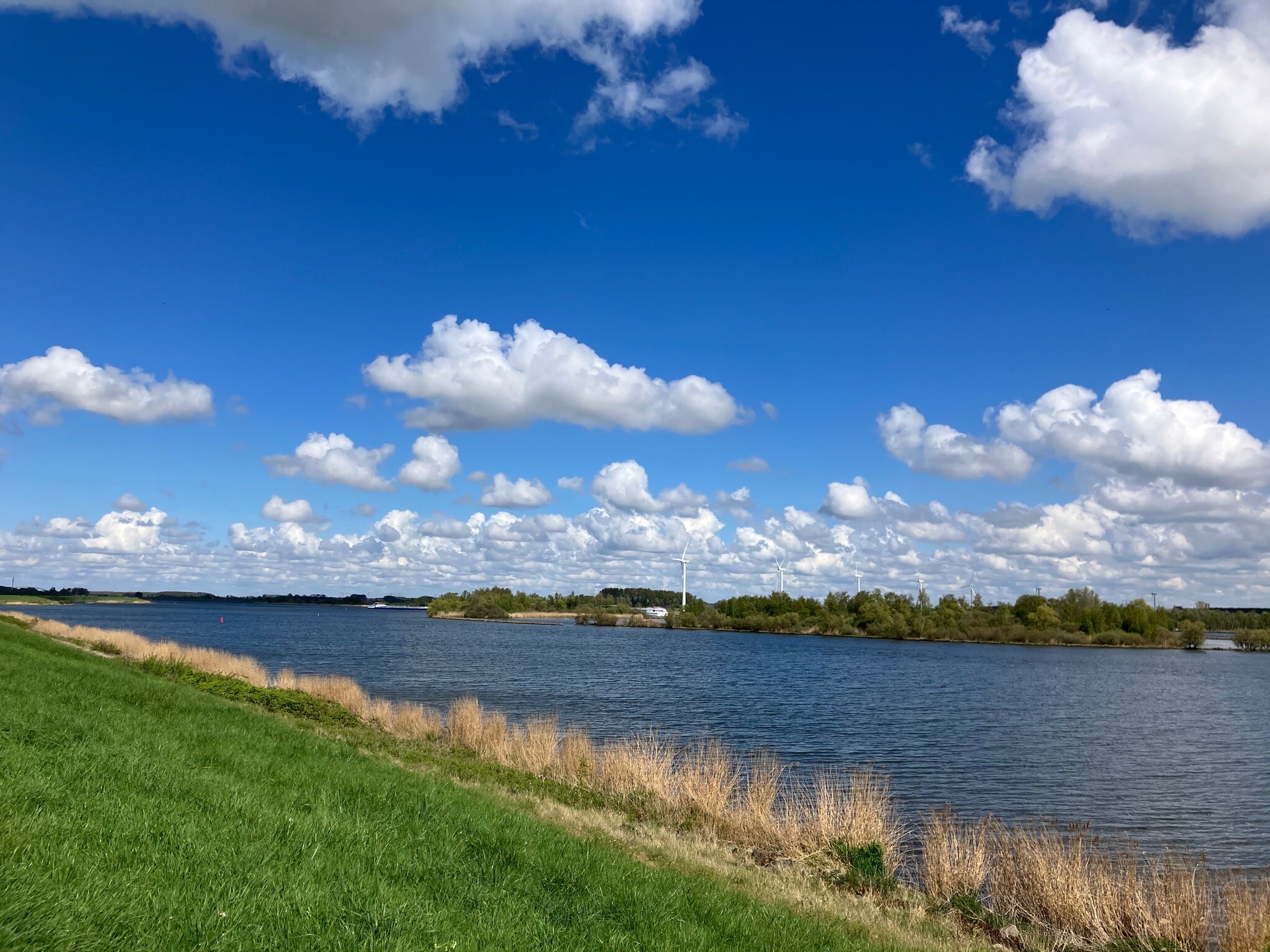
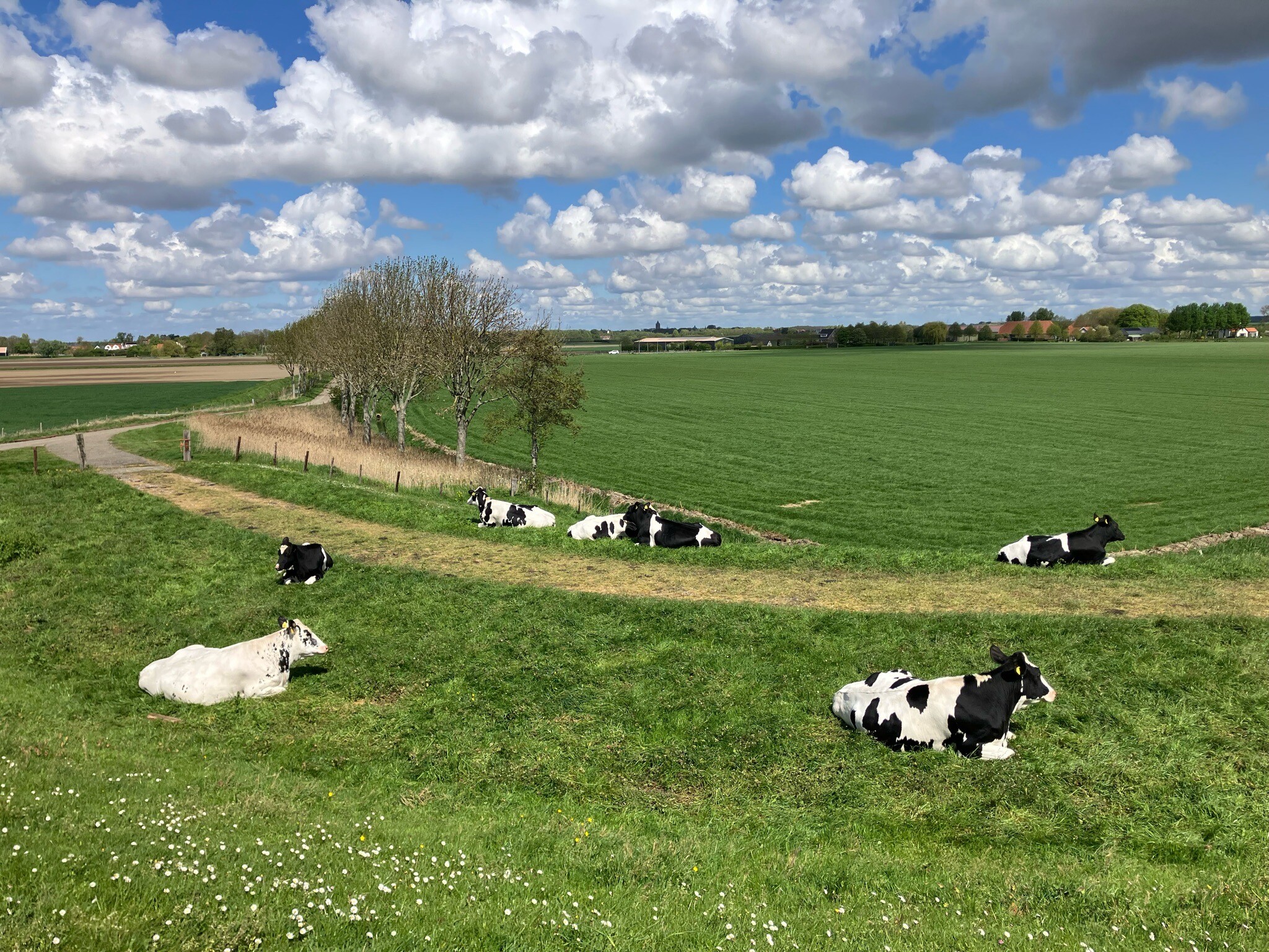
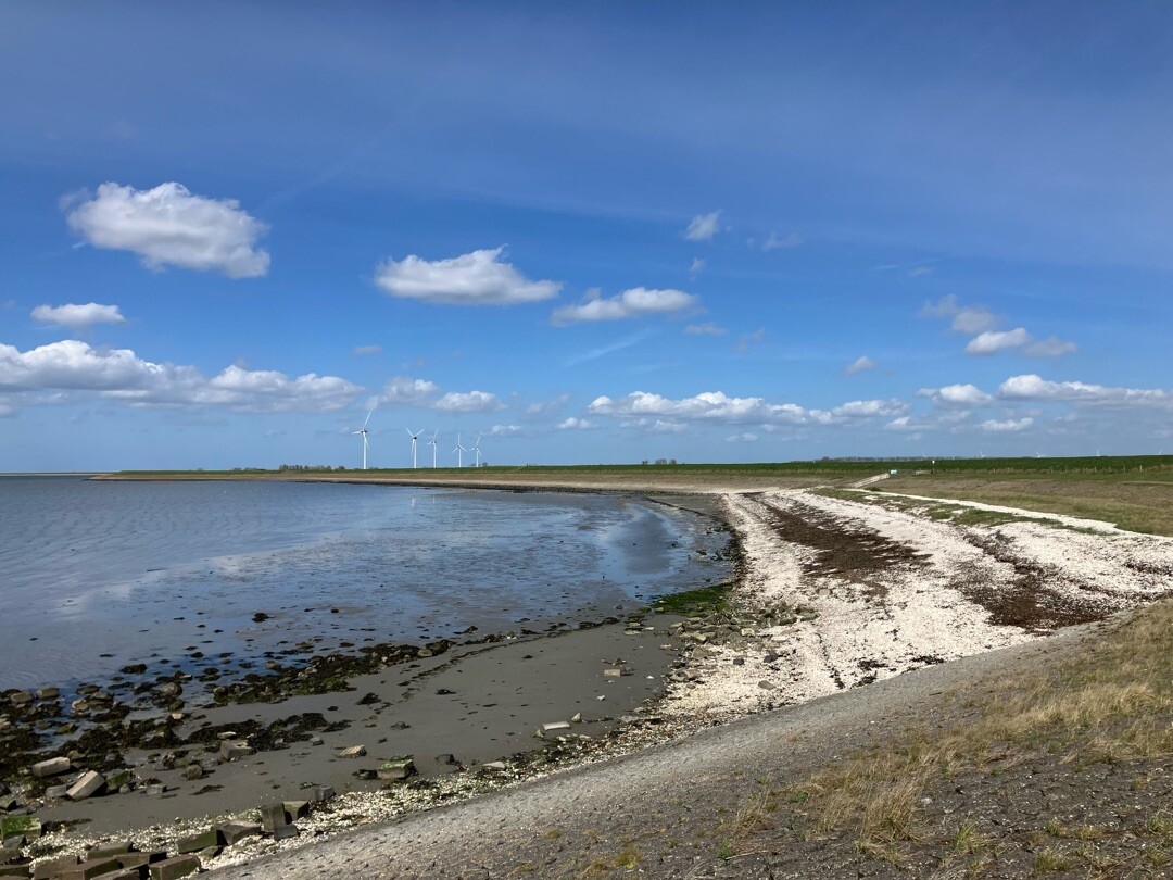
Oosterschelde is a dynamic tidal landscape dominated by saltwater marshes, mudflats, and artificial dikes rather than sandy beaches or deep forests. Walking here means following the line of the water, mostly on asphalted sea walls, concrete paths, or rough grass dikes. There are no high sand dunes to shield you, so the terrain is entirely flat and exposed to the elements. You will notice a stark division between the dry, sheep-grazed grass on the landward side of the dikes and the wet, salty mudflats that emerge and disappear with the daily tides on the seaward side.
Read more
About Oosterschelde
Oosterschelde is a dynamic tidal landscape dominated by saltwater marshes, mudflats, and artificial dikes rather than sandy beaches or deep forests. Walking here means following the line of the water, mostly on asphalted sea walls, concrete paths, or rough grass dikes. There are no high sand dunes to shield you, so the terrain is entirely flat and exposed to the elements. You will notice a stark division between the dry, sheep-grazed grass on the landward side of the dikes and the wet, salty mudflats that emerge and disappear with the daily tides on the seaward side.
Read moreOosterschelde is a dynamic tidal landscape dominated by saltwater marshes, mudflats, and artificial dikes rather than sandy beaches or deep forests. Walking here means following the line of the water, mostly on asphalted sea walls, concrete paths, or rough grass dikes. There are no high sand dunes to shield you, so the terrain is entirely flat and exposed to the elements. You will notice a stark division between the dry, sheep-grazed grass on the landward side of the dikes and the wet, salty mudflats that emerge and disappear with the daily tides on the seaward side.
Underfoot, the paths vary from hard, paved service roads to soft, muddy salt marshes where boots are essential. In the salt marshes, such as those near Yerseke, you walk directly on clay and silt among salt-tolerant plants like samphire and sea aster, which turn deep red and purple in September. The interior of the dikes often features quiet, damp polder paths and small patches of scrub, but the main focus remains the wide, open water and the concrete blocks used to reinforce the shoreline.
This area is not a traditional woodland or heathland park. It offers no shelter from trees, no rolling hills, and very few sandy inland tracks. Choose Oosterschelde if you want to observe tidal birds on the mudflats and walk along massive storm surge barriers. If you prefer soft forest floor paths or sheltered valleys, other inland areas will suit you better.
Hiking routes in Oosterschelde (56)
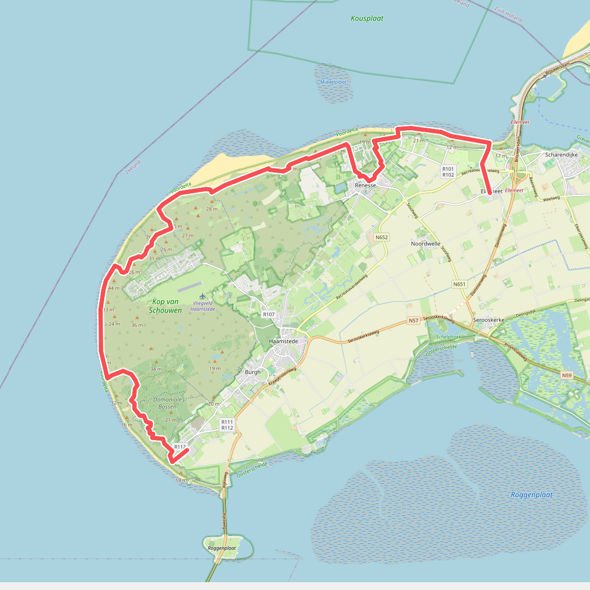
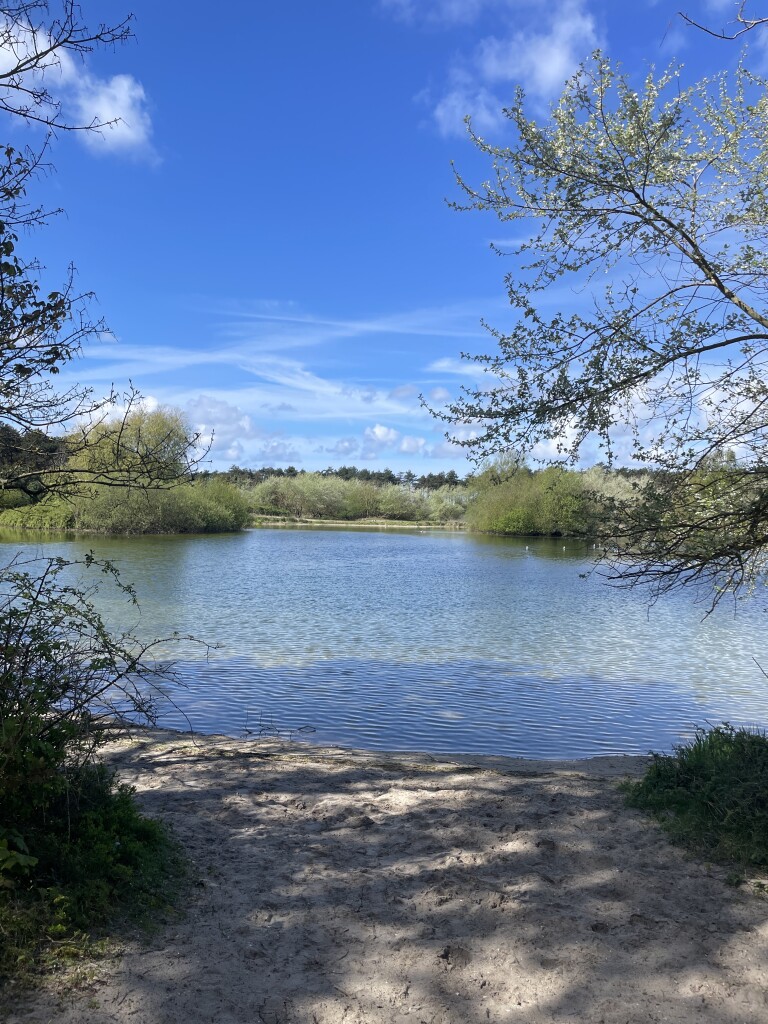
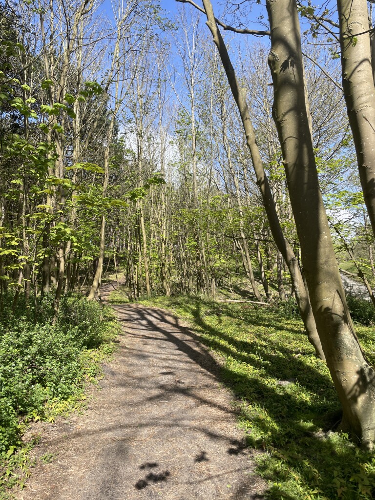
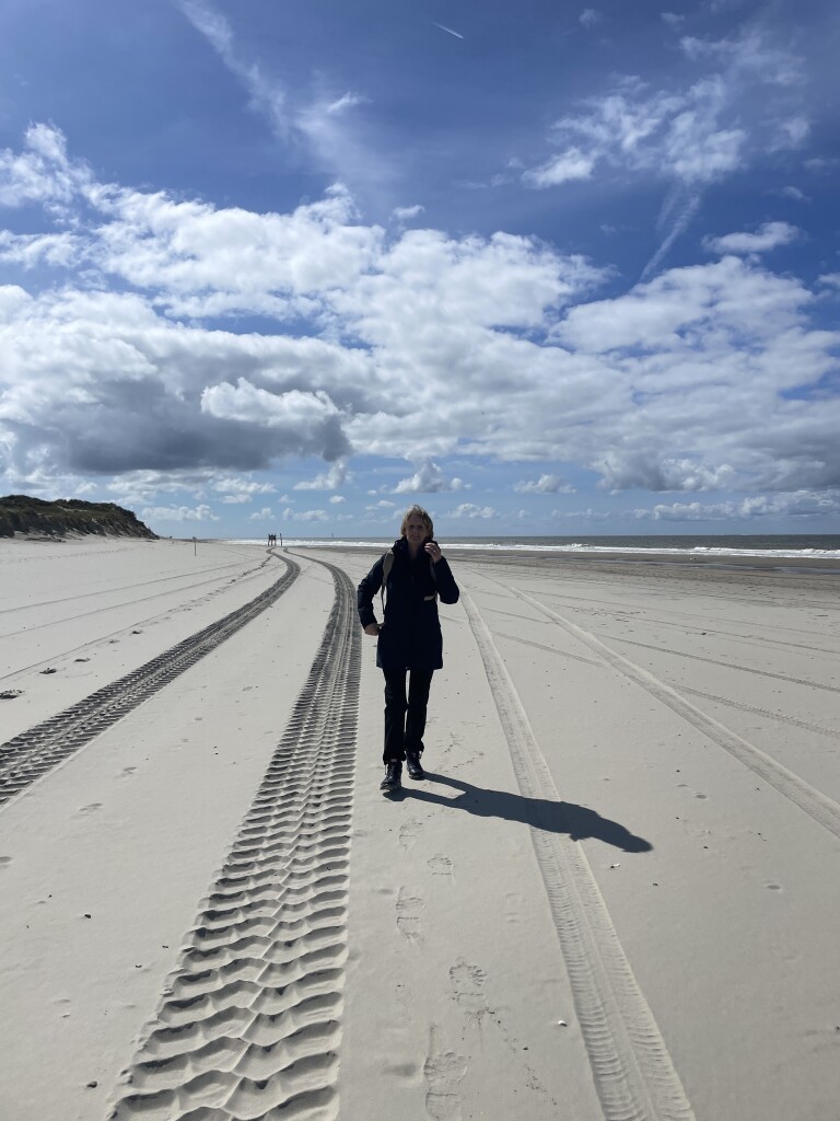
#1. Westenschouwen naar Ellemeet- "?" · NederRandpad etappe 59
Ellemeet,Renesse,Burgh-Haamstede
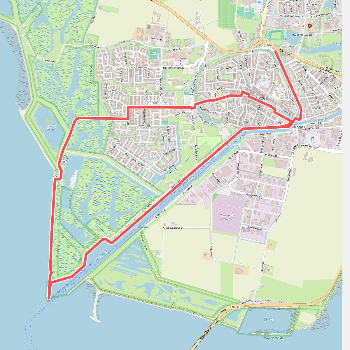
#2. Bierroute Zierikzee
Zierikzee
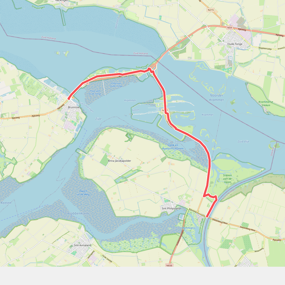
#3. Bruinisse - Slaakbrug · Oosterscheldepad etappe 7
Bruinisse,Sint Philipsland
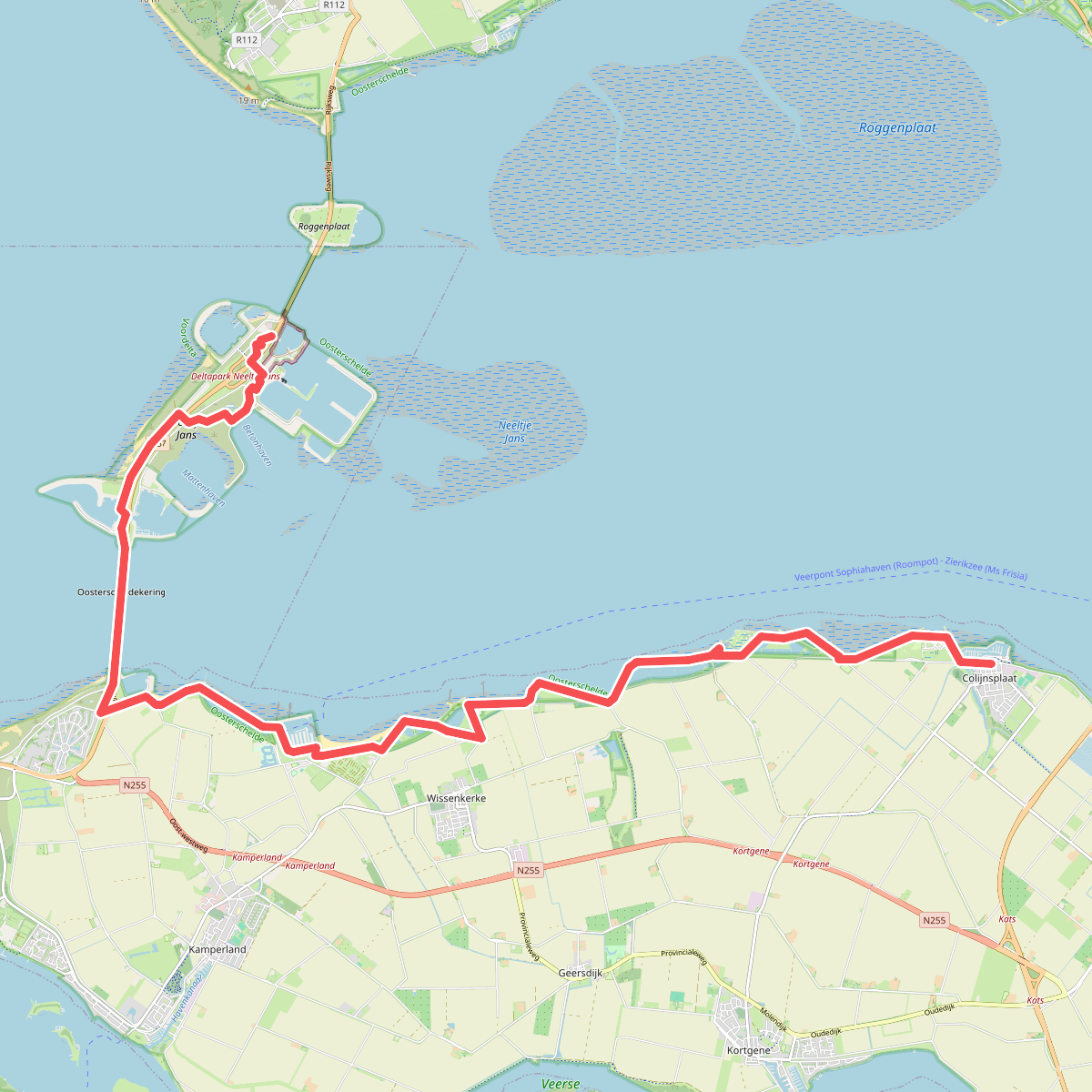
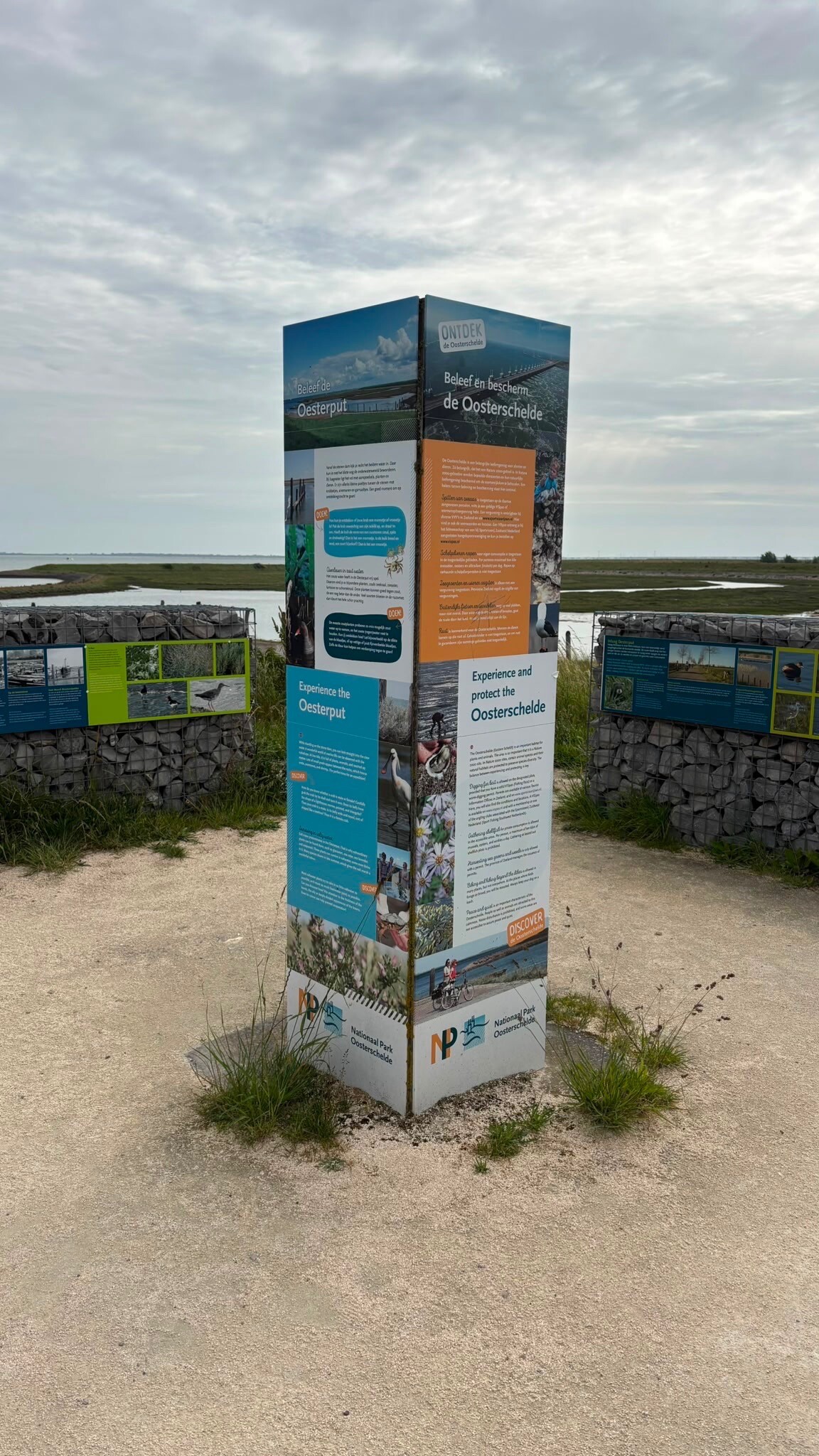
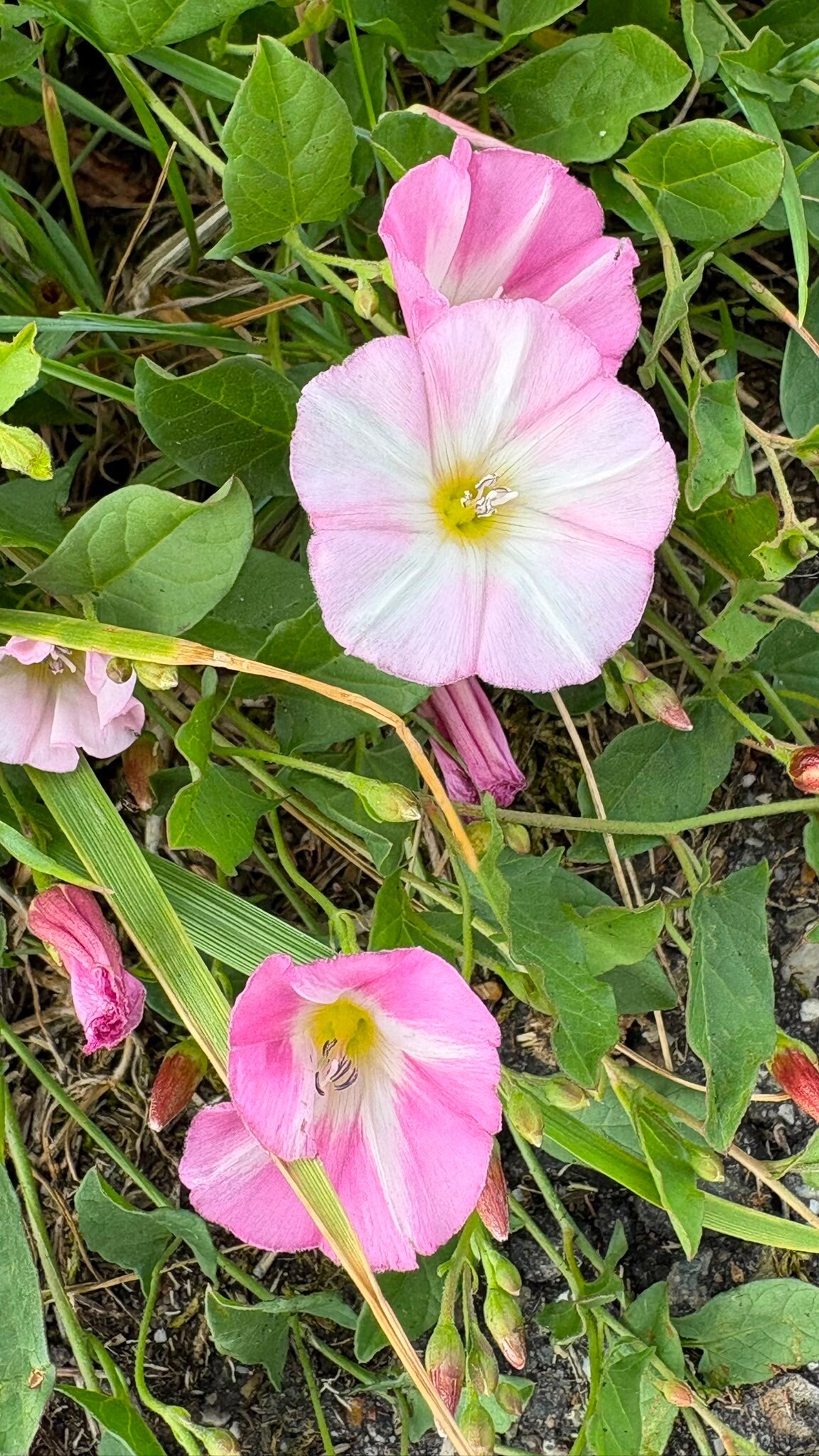
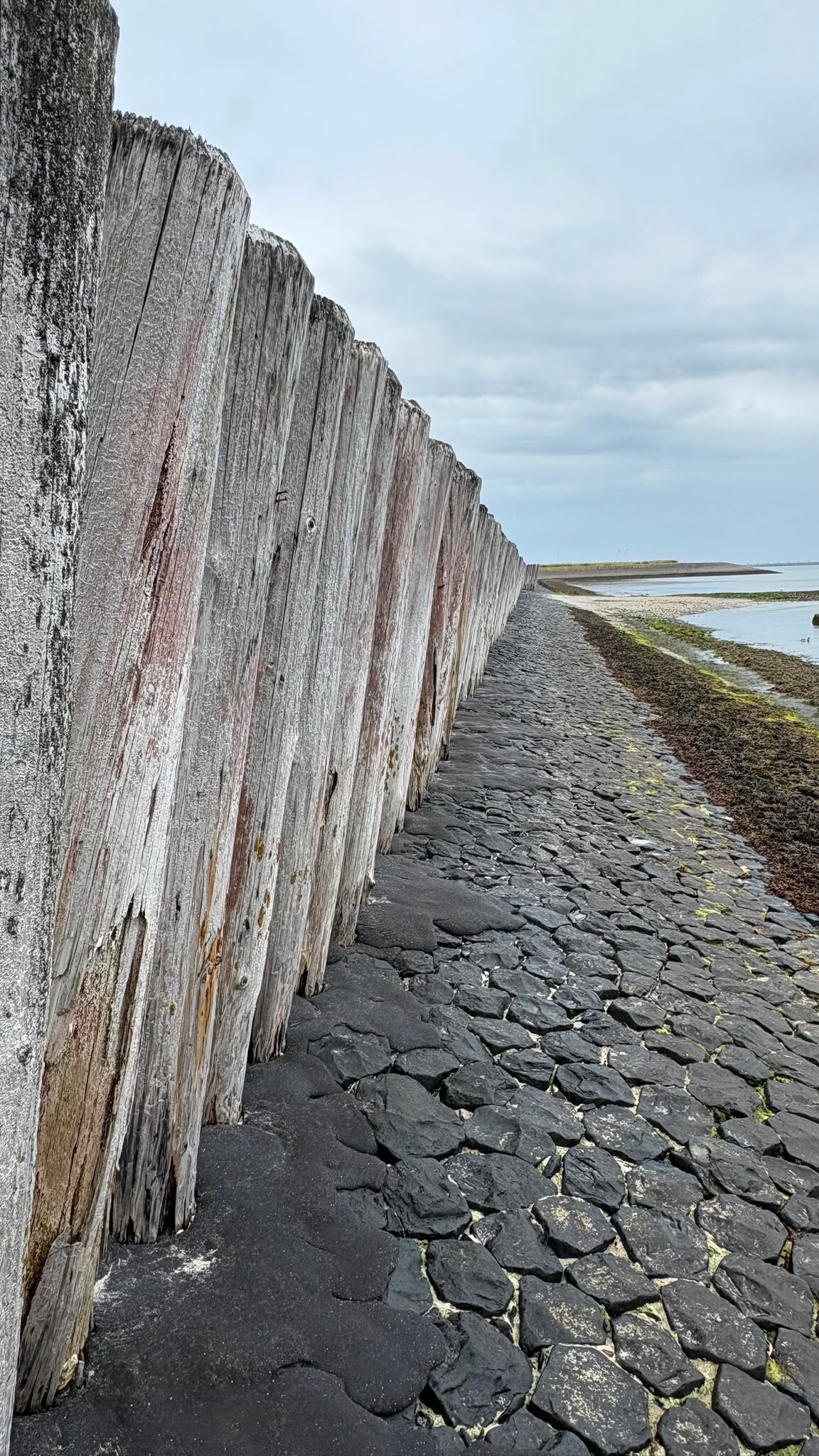
#4. Colijnsplaat - Neeltje Jans · Oosterscheldepad etappe 3
Colijnsplaat,Kamperland,Wissenkerke,Vrouwenpolder
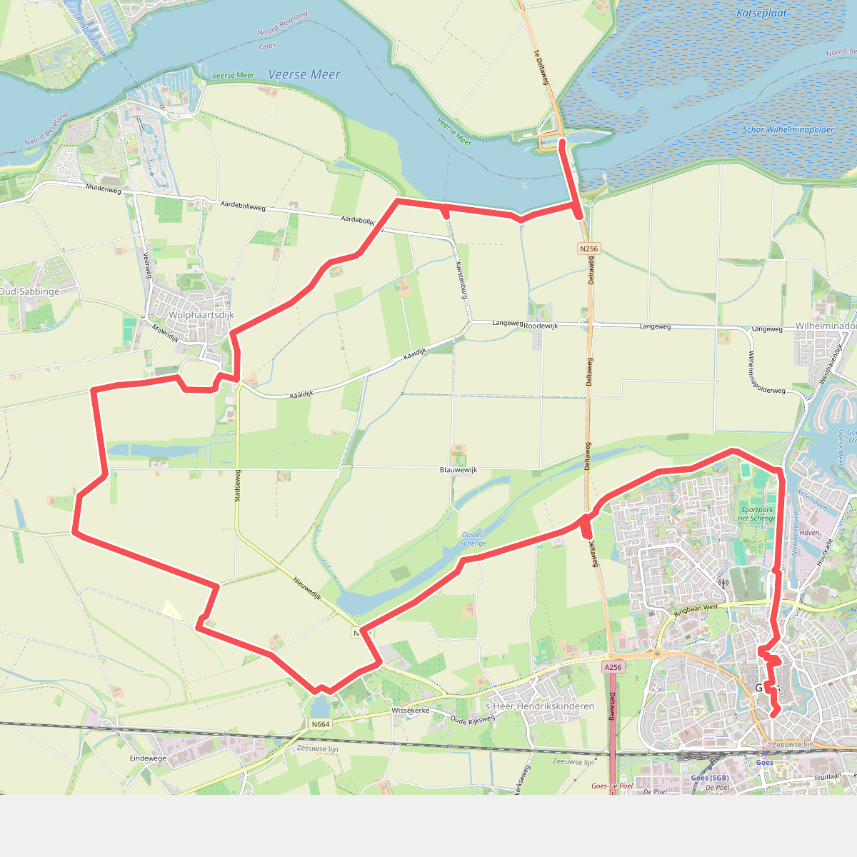

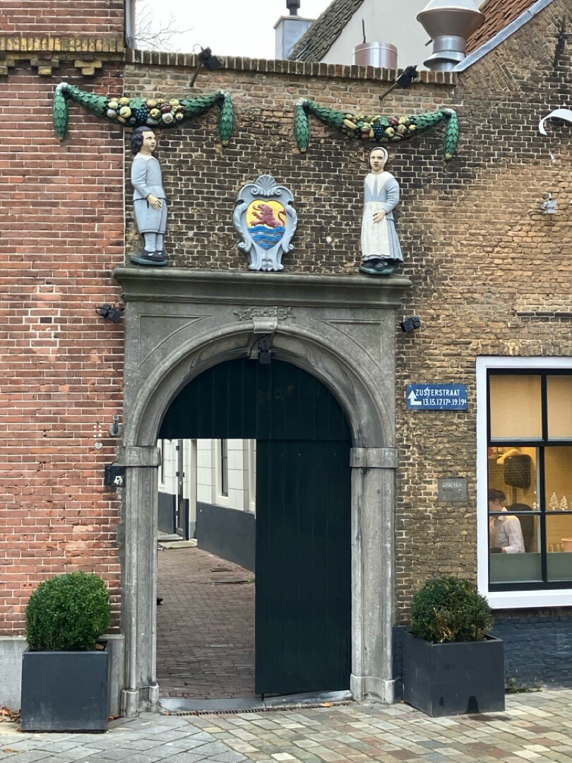
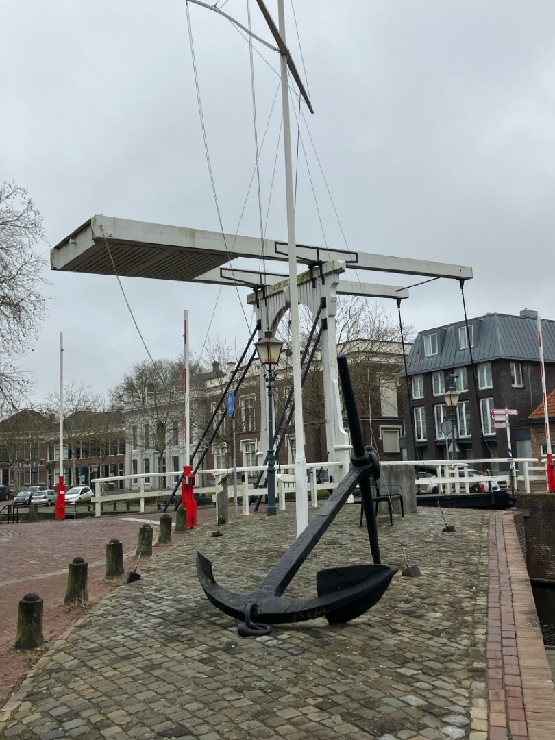
#5. Goes - Zandkreekdam · Oosterscheldepad etappe 1
Goes,Wilhelminadorp,Wolphaartsdijk,'s-Heer Hendrikskinderen,Kats
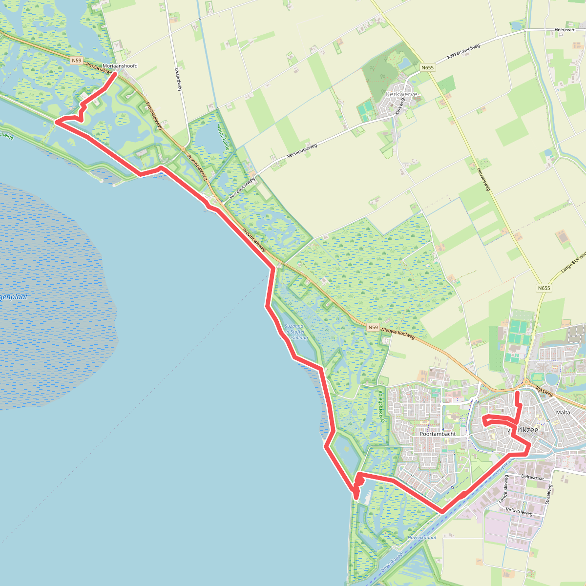
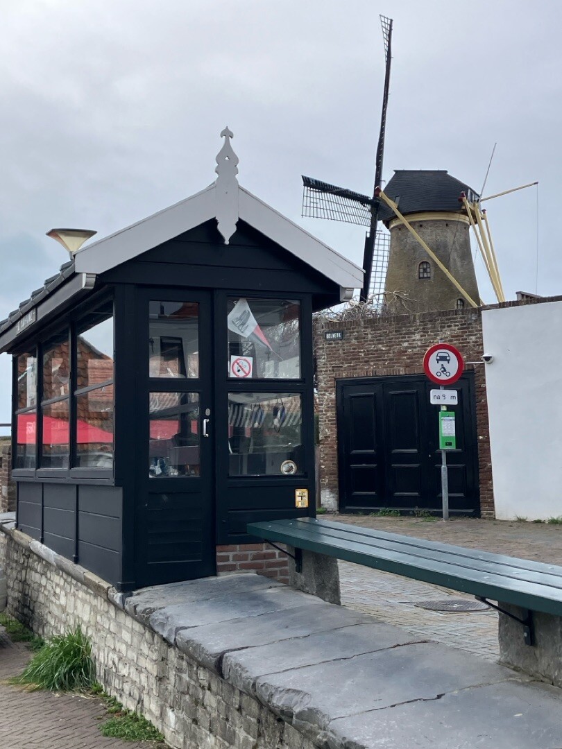
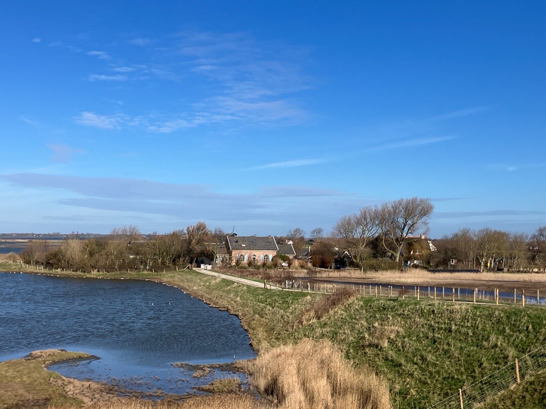
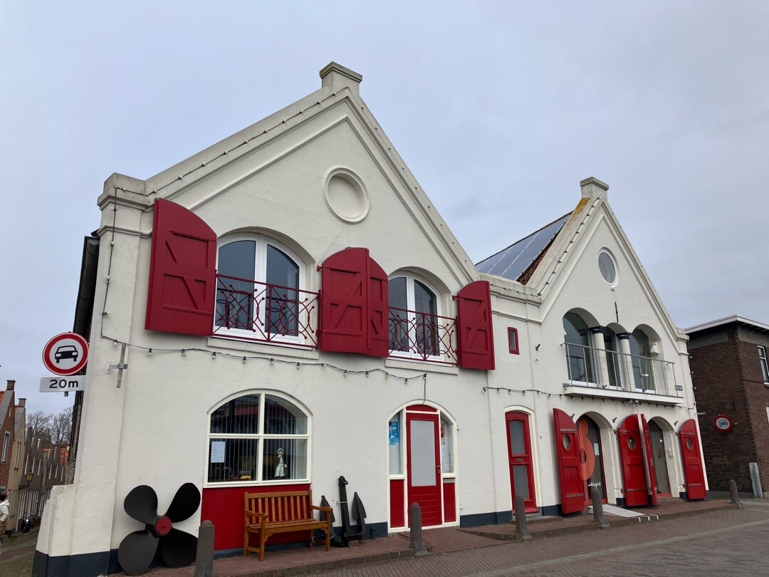
#6. Moriaanshoofd - Zierikzee · Oosterscheldepad etappe 5
Kerkwerve,Zierikzee
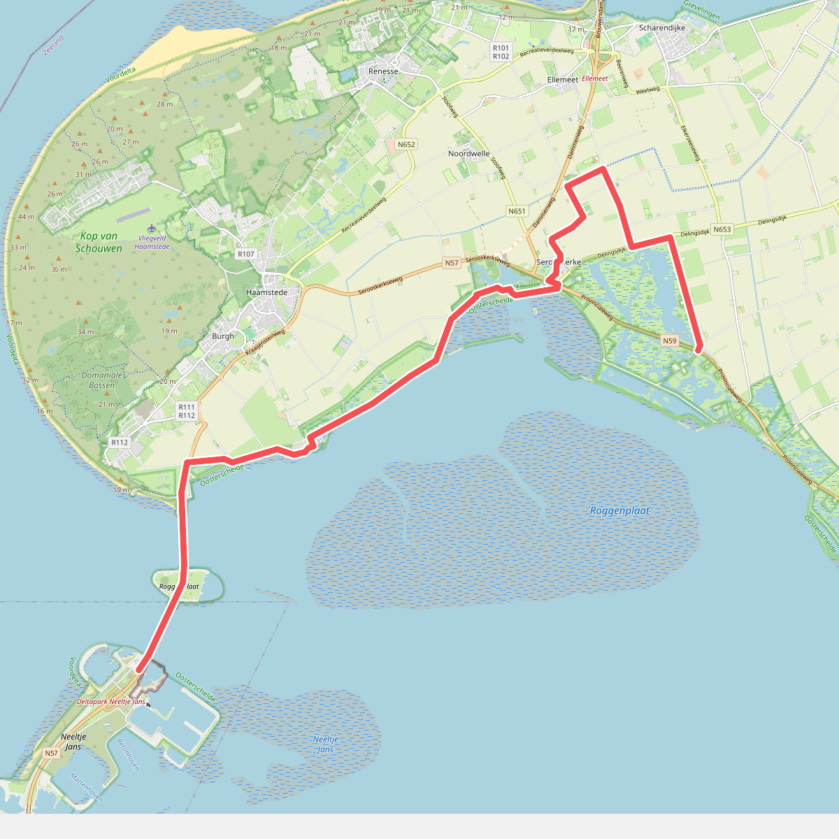
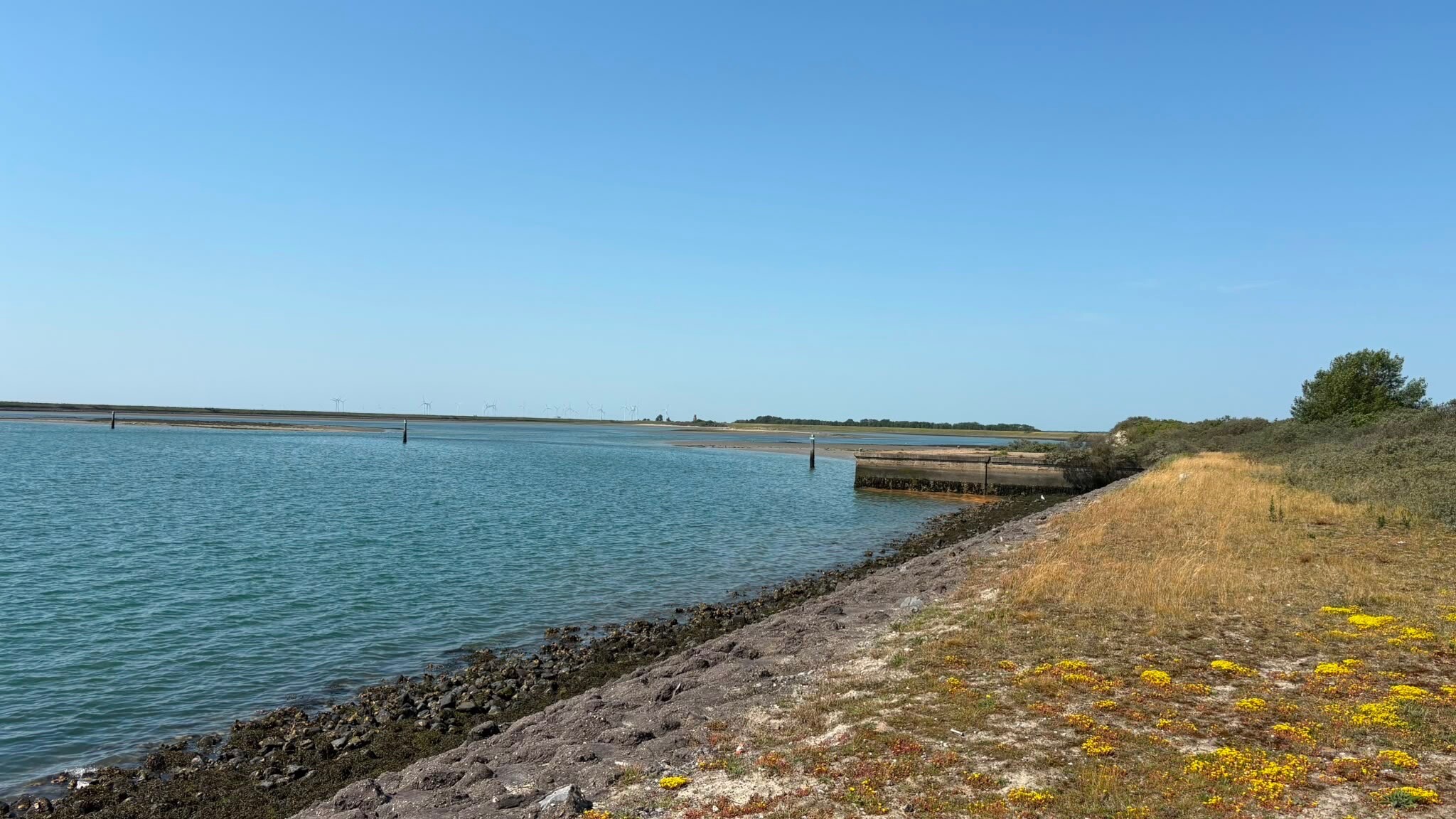
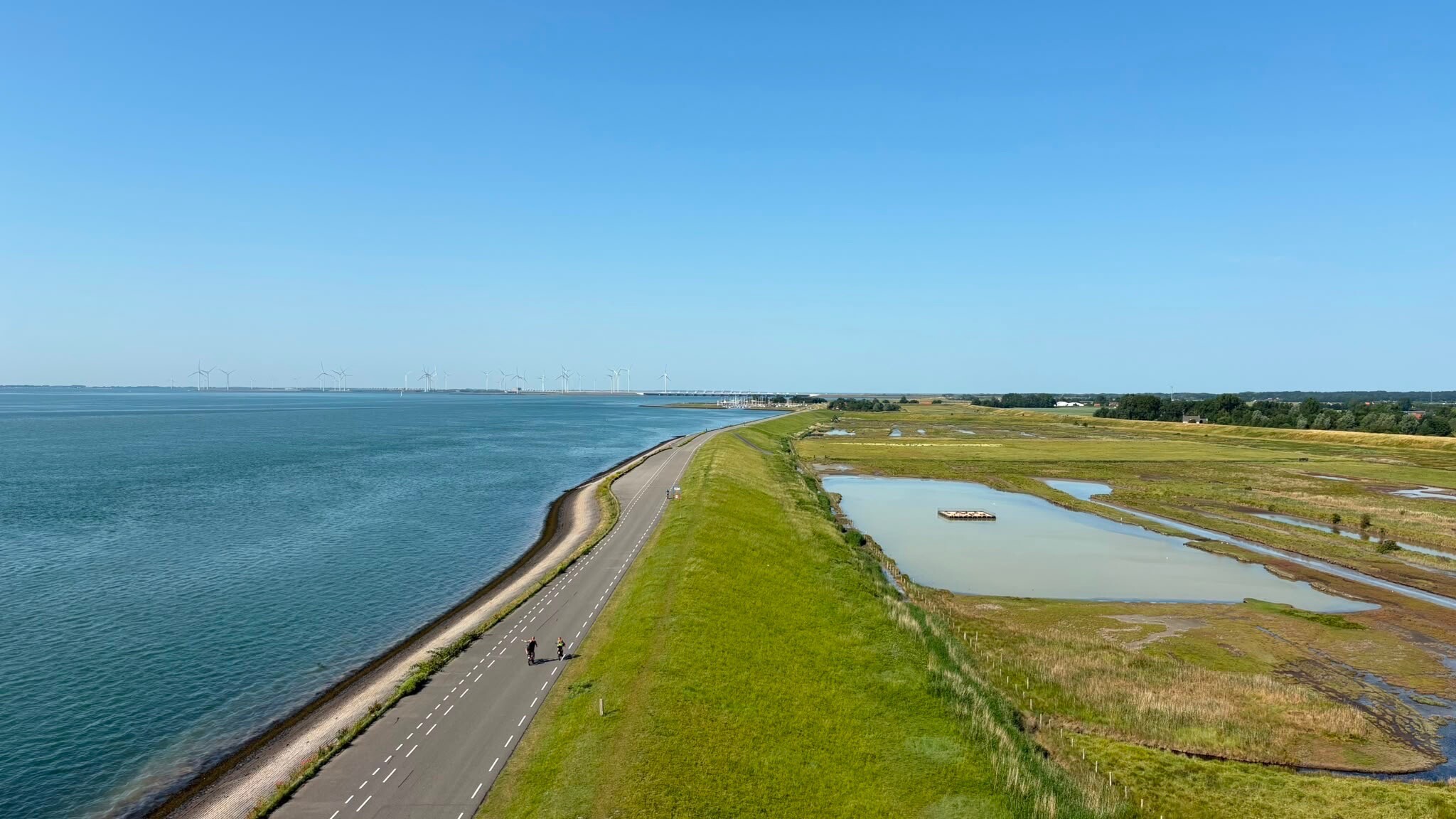
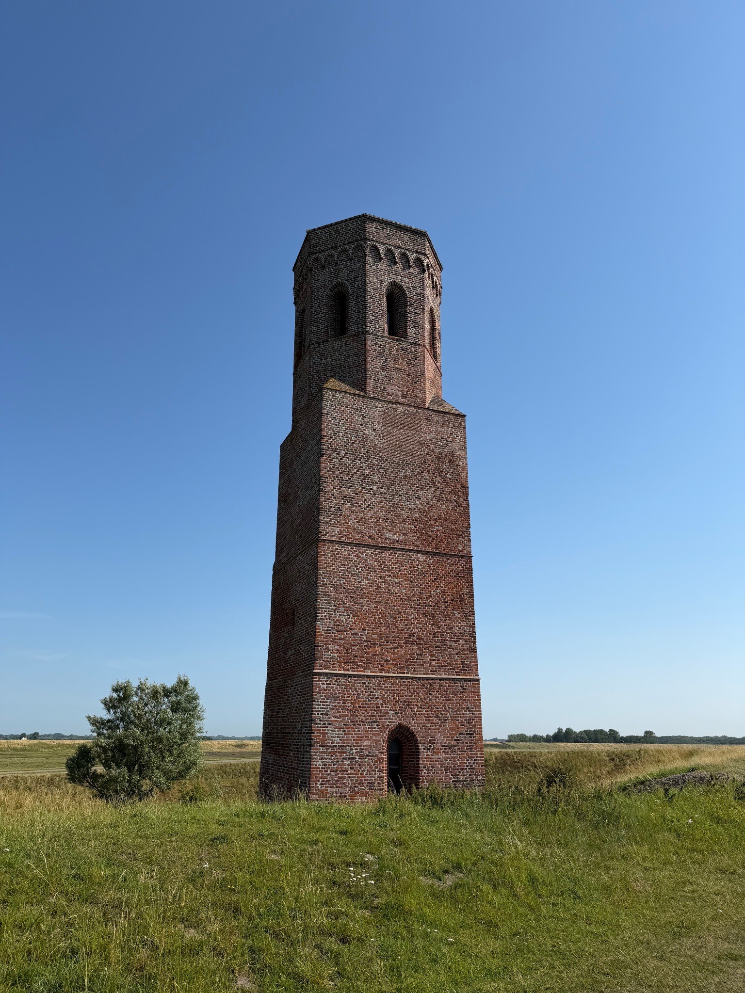
#7. Neeltje Jans - Moriaanshoofd · Oosterscheldepad etappe 4
Vrouwenpolder,Burgh-Haamstede,Serooskerke,Ellemeet,Kerkwerve
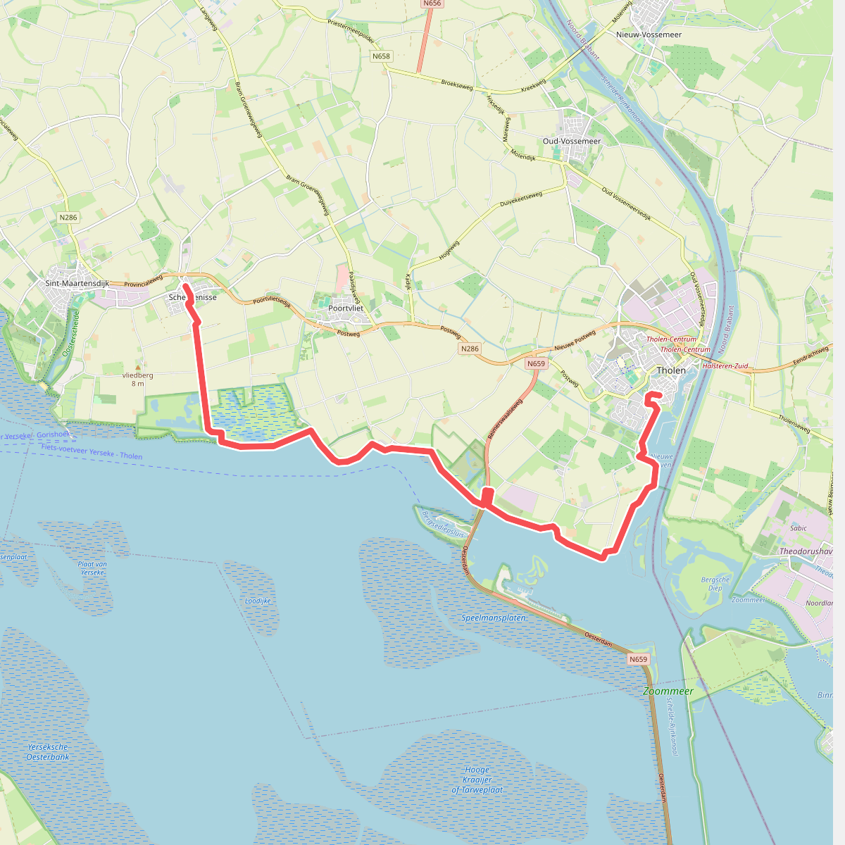
#8. Scherpenisse - Tholen · Oosterscheldepad etappe 10
Scherpenisse,Poortvliet,Tholen
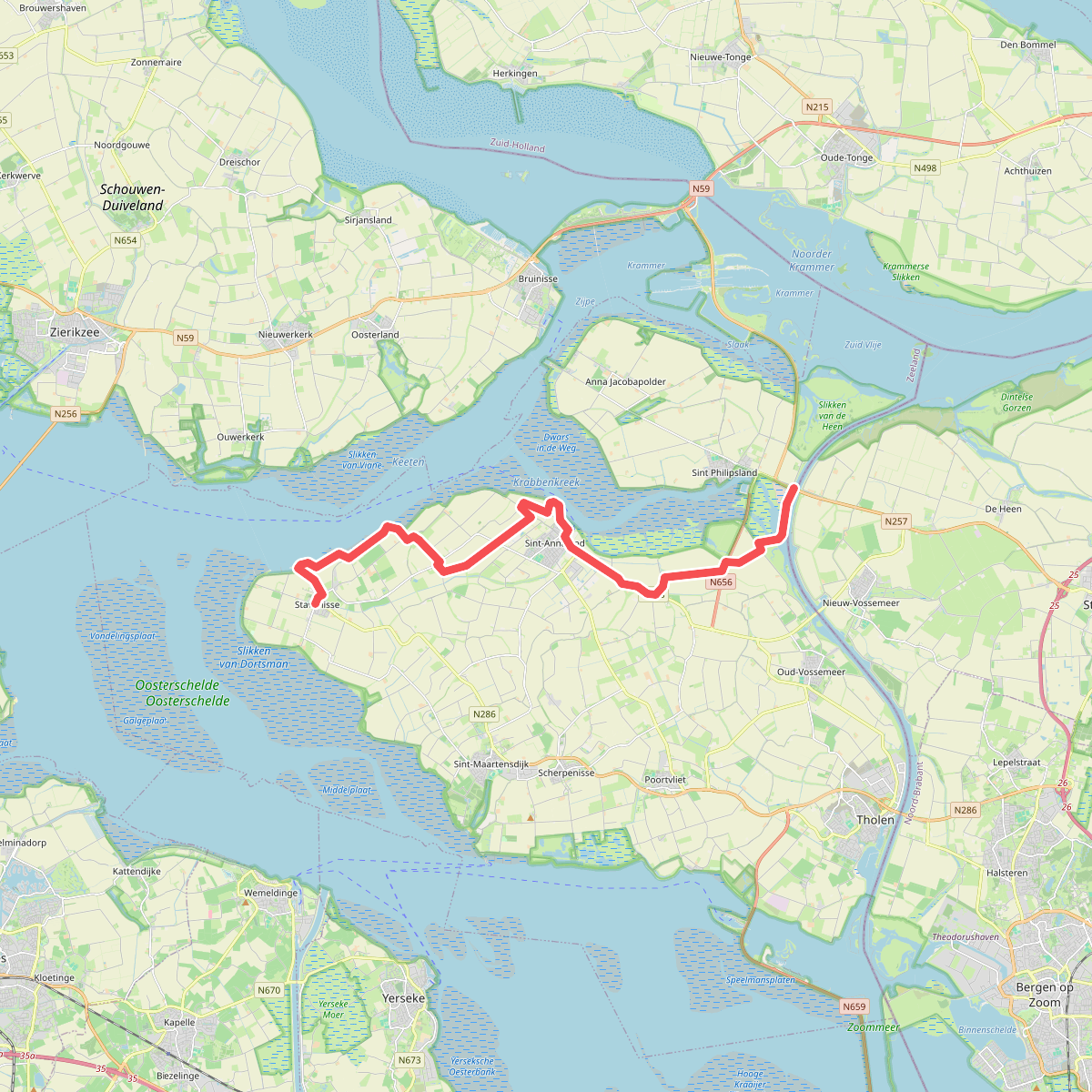
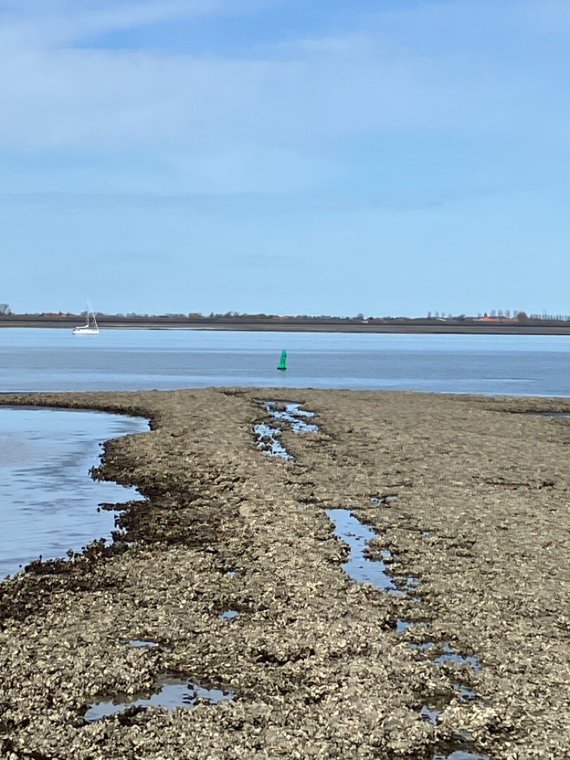
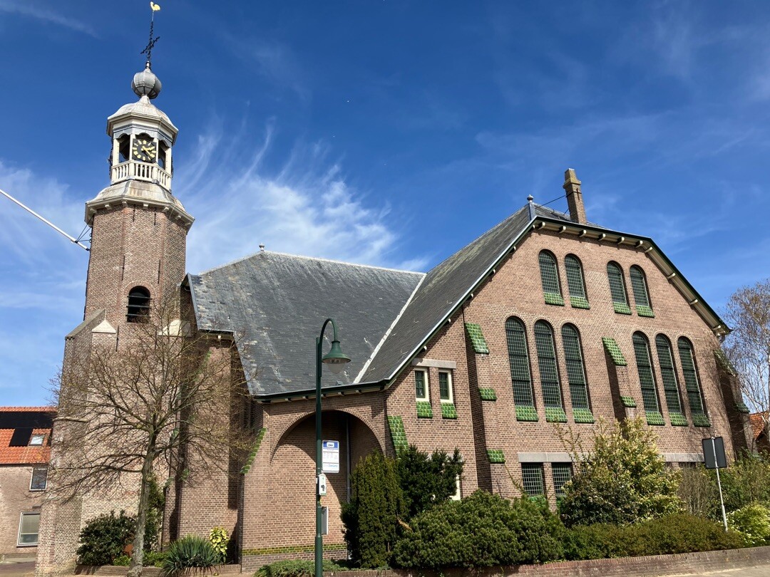
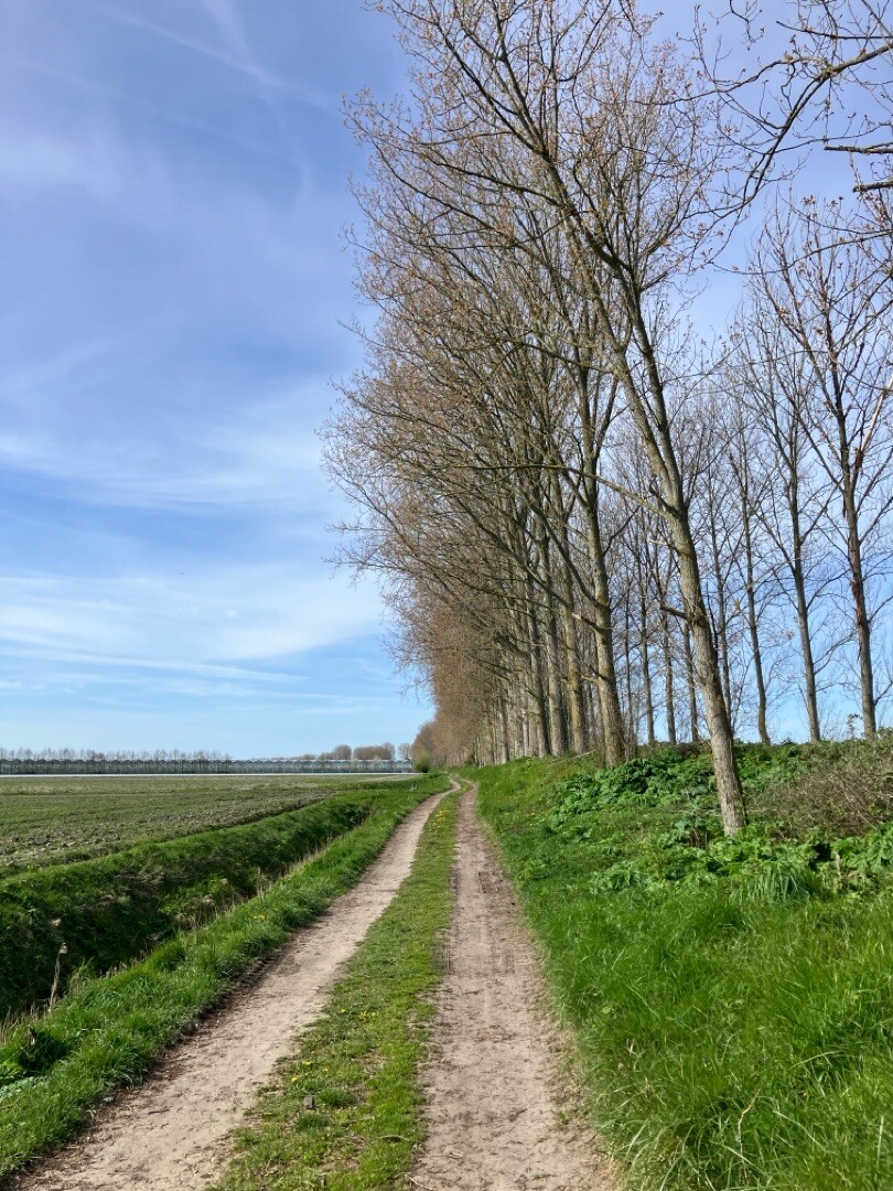
#9. Slaakbrug - Stavenisse · Oosterscheldepad etappe 8
Sint Philipsland,Oud-Vossemeer,Sint-Annaland,Stavenisse
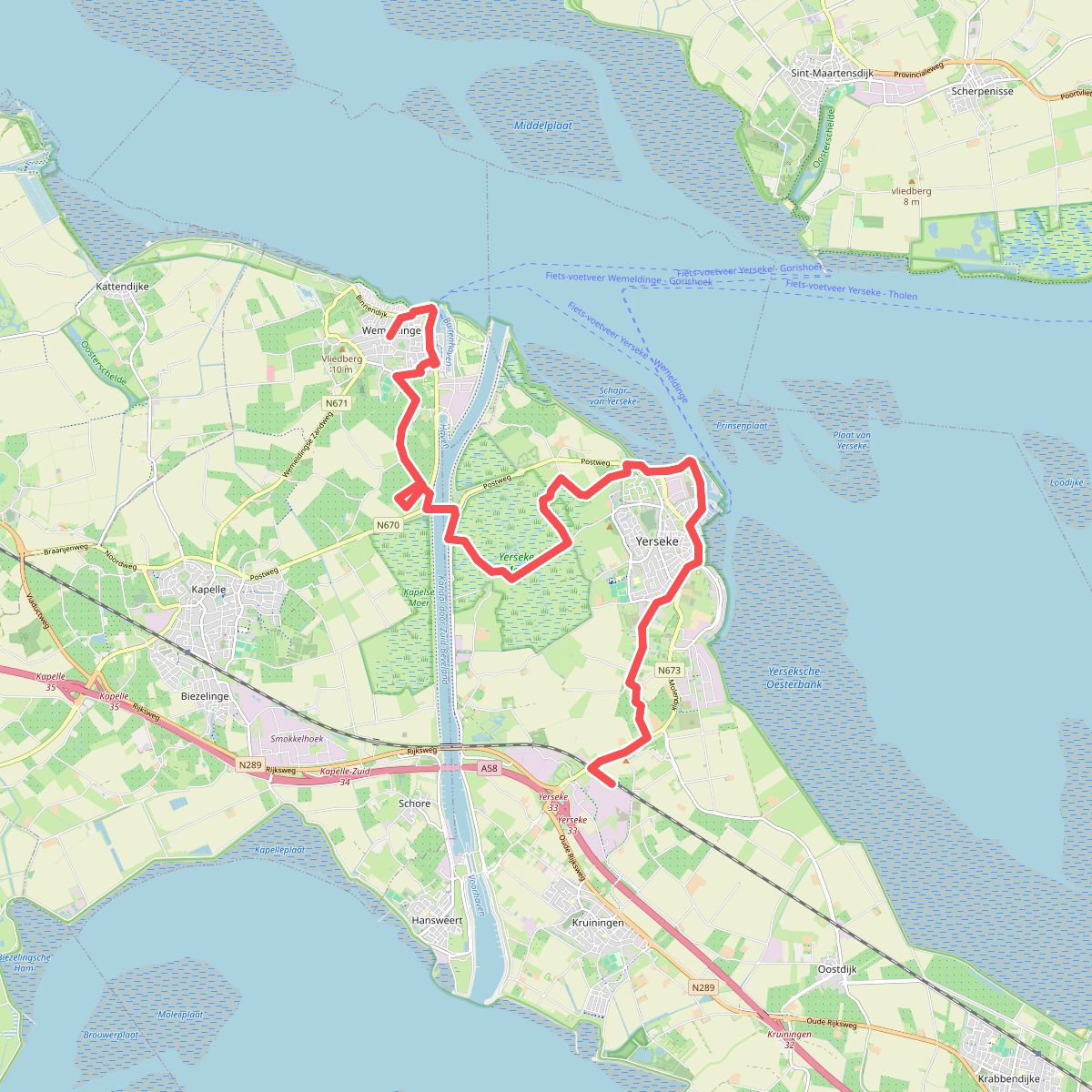
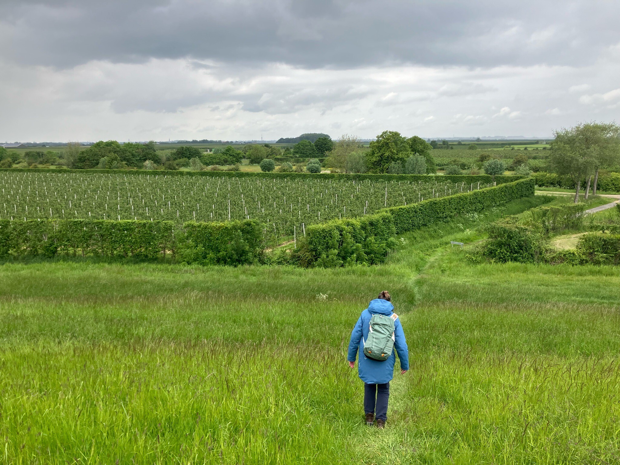
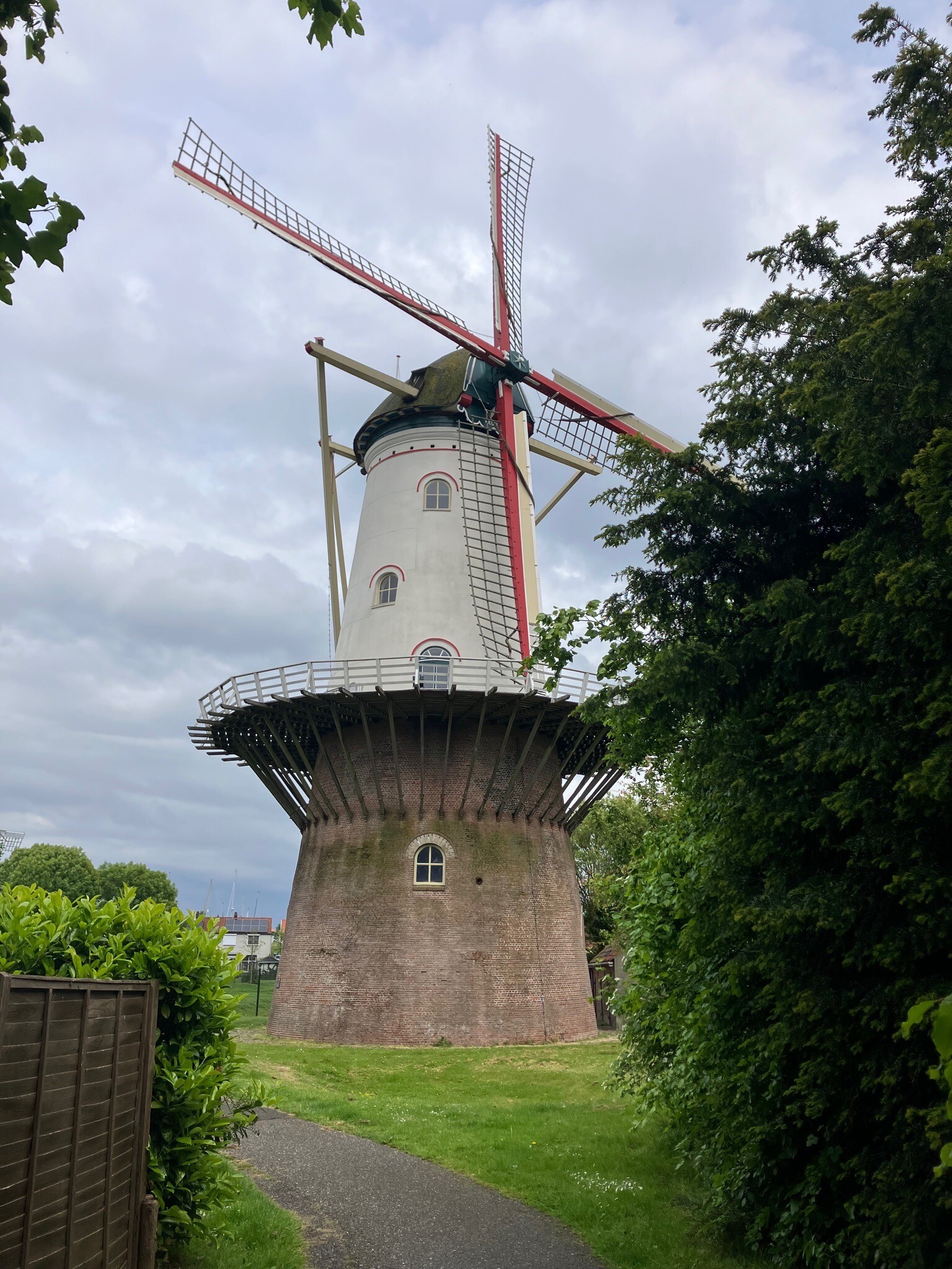
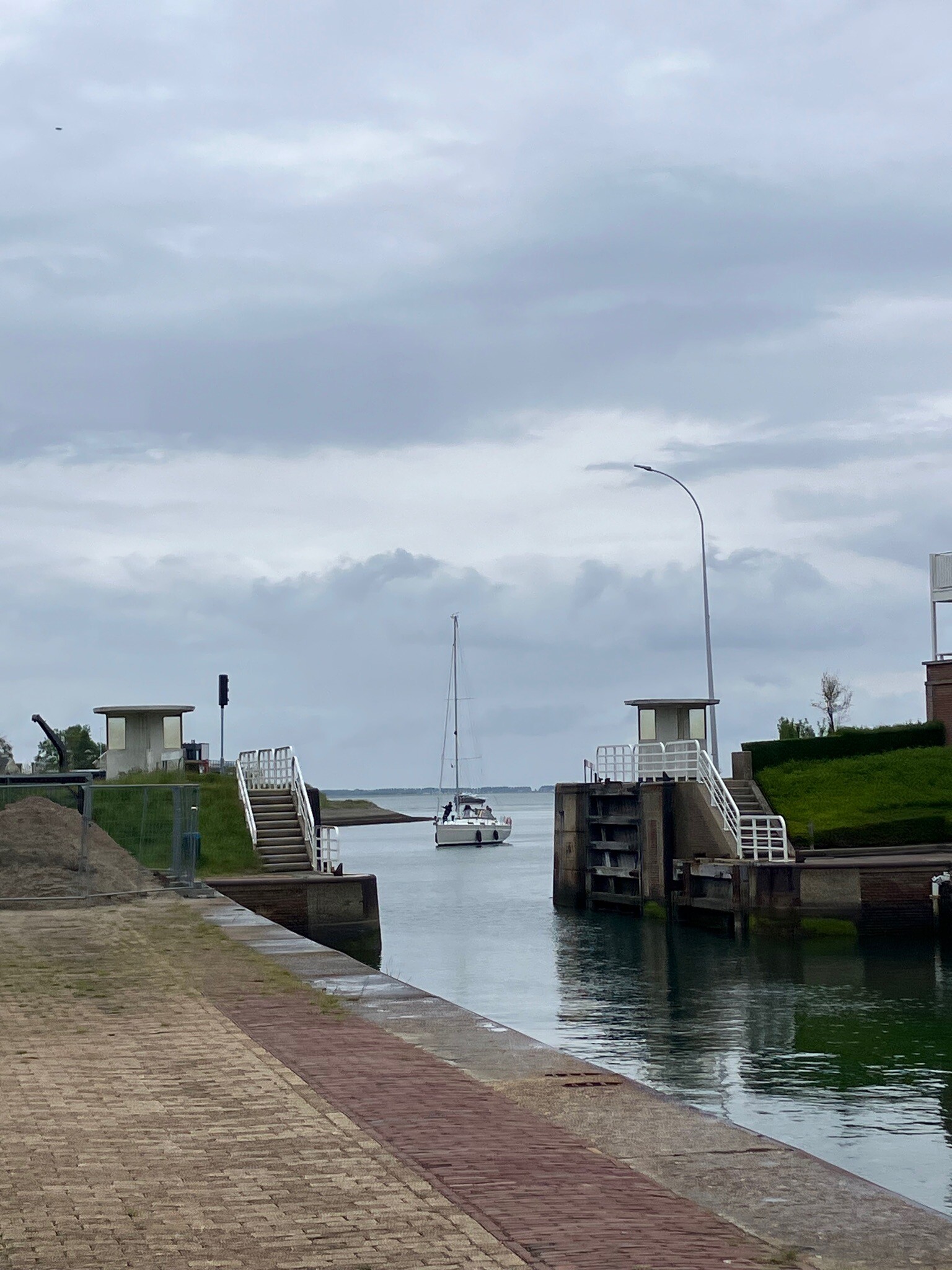
#10. Station Kruiningen-Yerseke - Wemeldinge · Oosterscheldepad etappe 15
Kruiningen,Yerseke,Wemeldinge
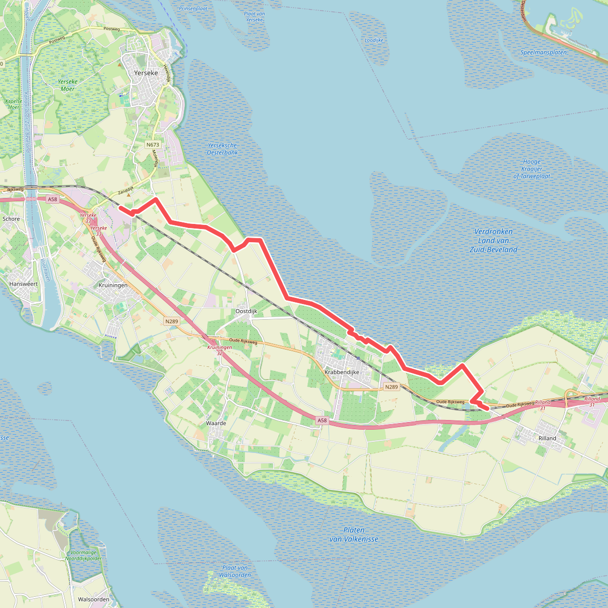
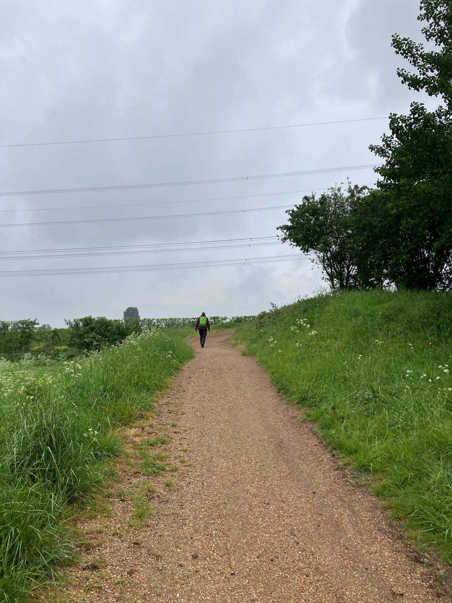
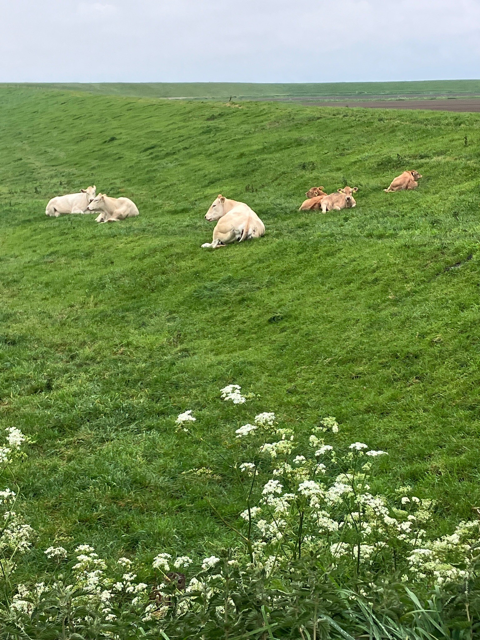
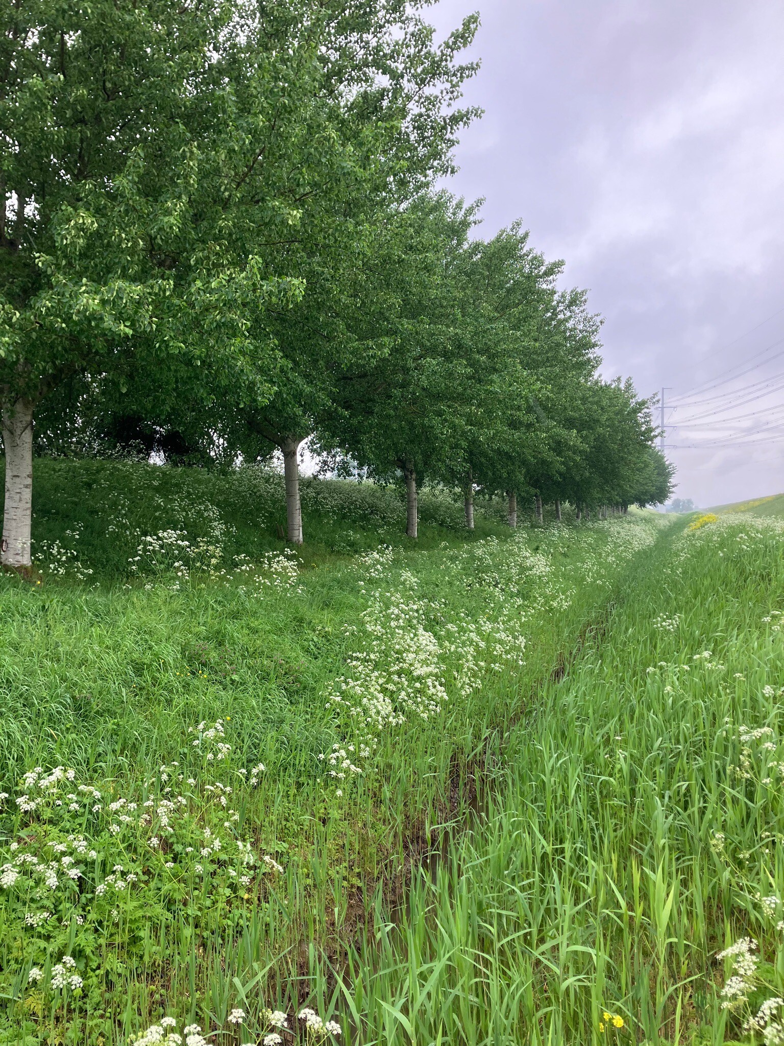
#11. Station Rilland-Bath - Station Kruiningen-Yerseke · Oosterscheldepad etappe 14
Rilland,Krabbendijke,Oostdijk,Kruiningen
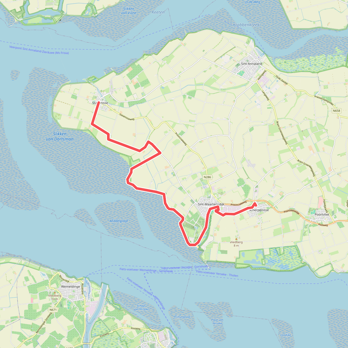
#12. Stavenisse - Scherpenisse · Oosterscheldepad etappe 9
Stavenisse,Sint-Maartensdijk,Scherpenisse




