


The best hiking routes in Parco della Magra - Vara
Discover the best walks in Parco della Magra - Vara. 34 routes on the map, with descriptions, photos and GPX.
About Parco della Magra - Vara
Parco della Magra - Vara is defined by the contrast between its two main river valleys in eastern Liguria. The Vara valley offers a narrower, steeper landscape where the water runs through wooded hillsides dominated by chestnut and oak trees. In contrast, the lower Magra valley opens up into a wider alluvial plain, where the river bed spreads out across gravel banks and marshes before reaching the sea. Walkers will notice how the terrain transitions from shaded forest paths in the upper sections to flat, open dirt tracks closer to the river mouths.
Read more
About Parco della Magra - Vara
Parco della Magra - Vara is defined by the contrast between its two main river valleys in eastern Liguria. The Vara valley offers a narrower, steeper landscape where the water runs through wooded hillsides dominated by chestnut and oak trees. In contrast, the lower Magra valley opens up into a wider alluvial plain, where the river bed spreads out across gravel banks and marshes before reaching the sea. Walkers will notice how the terrain transitions from shaded forest paths in the upper sections to flat, open dirt tracks closer to the river mouths.
Read moreParco della Magra - Vara is defined by the contrast between its two main river valleys in eastern Liguria. The Vara valley offers a narrower, steeper landscape where the water runs through wooded hillsides dominated by chestnut and oak trees. In contrast, the lower Magra valley opens up into a wider alluvial plain, where the river bed spreads out across gravel banks and marshes before reaching the sea. Walkers will notice how the terrain transitions from shaded forest paths in the upper sections to flat, open dirt tracks closer to the river mouths.
Underfoot, the trails vary significantly depending on your choice of valley. The upper Vara paths are often rocky, earthen tracks cutting through steep woodland slopes, requiring steady footing over tree roots and loose stones. Along the Magra, the paths are flatter and wider, consisting of packed earth, gravel, and sandy stretches near the wetlands. This lower section features bird-watching screens and wooden footbridges over reed beds, reflecting the river's slower pace and agricultural surroundings.
This park is not a high-mountain destination with dramatic peaks or deep gorges, but rather a working river landscape where natural habitats exist alongside old villages and farming plots. While the upper woodland trails offer a quieter, more enclosed experience under the canopy, the open gravel beds of the lower Magra are more exposed and can be busier near the towns. In May, the riverside vegetation is particularly dense, making it a good time to observe the transition from mountain-fed streams to coastal wetlands.
Hiking routes in Parco della Magra - Vara (34)
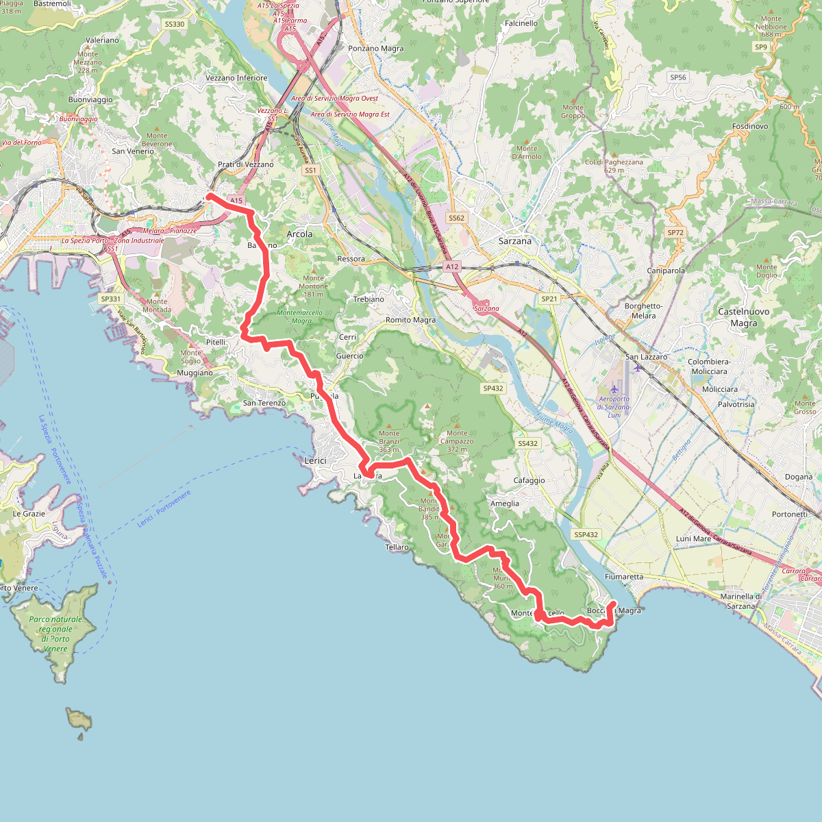
#1. Alta Via del Golfo: Bocca di Magra - Il Termo

#2. Alta Via delle 5 Terre: Portovenere - Monte Soviore - Foce di Dosso

#3. Arsina - Carrodano Superiore - Mattarana - Colle Gruzze - San Nicolao

#4. Borghetto - Ripalta - Memola - Bracelli

#5. Bottagna – Vezzano Ligure

#6. Bozzolo – Brugnato via Terrarossa

#7. Brugnato – Madonna dell'Olivo – Manzile – Quattro Strade
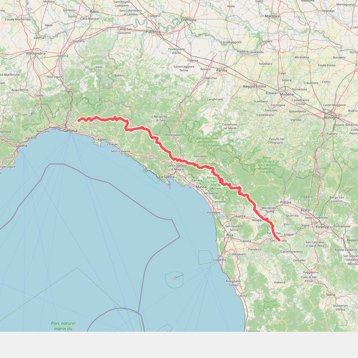
#8. Cammino di Assisi, Genova - San Miniato

#9. Carro – Castello – Case Cannate – Valdiamaro - Piano Craviola (Bivio 625 e 628)

#10. Carro – Sepponi – Trambacco - Cerreta – Stanga – Monte Rocche – Monte Vagie

#11. Case Arsina - Carrodano Superiore - Casa Fogona - Mattarana - Monte Gruzze





