


The best hiking routes in Parco naturale regionale dell'Aveto
Discover the best walks in Parco naturale regionale dell'Aveto. 23 routes on the map, with descriptions, photos and GPX.
About Parco naturale regionale dell'Aveto
Parco naturale regionale dell'Aveto occupies a rugged section of the Ligurian Apennines, where the landscape is shaped by its complex geology rather than high, glaciated alpine peaks. Walkers here will notice a sharp contrast between the dark, jagged ophiolite rock formations of the Aveto Valley and the softer limestone slopes of the Graveglia Valley. The terrain is heavily forested, dominated by dense beech woods at higher elevations and chestnut groves lower down, interspersed with high-altitude pastures where wild horses still graze.
Read more
About Parco naturale regionale dell'Aveto
Parco naturale regionale dell'Aveto occupies a rugged section of the Ligurian Apennines, where the landscape is shaped by its complex geology rather than high, glaciated alpine peaks. Walkers here will notice a sharp contrast between the dark, jagged ophiolite rock formations of the Aveto Valley and the softer limestone slopes of the Graveglia Valley. The terrain is heavily forested, dominated by dense beech woods at higher elevations and chestnut groves lower down, interspersed with high-altitude pastures where wild horses still graze.
Read moreParco naturale regionale dell'Aveto occupies a rugged section of the Ligurian Apennines, where the landscape is shaped by its complex geology rather than high, glaciated alpine peaks. Walkers here will notice a sharp contrast between the dark, jagged ophiolite rock formations of the Aveto Valley and the softer limestone slopes of the Graveglia Valley. The terrain is heavily forested, dominated by dense beech woods at higher elevations and chestnut groves lower down, interspersed with high-altitude pastures where wild horses still graze.
Underfoot, the trails vary from rough, stony mule tracks and loose scree near the summits of Monte Penna and Monte Aiona to soft leaf litter under the forest canopy. The paths are often steep and uneven, requiring careful footwork over exposed roots and volcanic rock. Unlike the nearby coastal paths of Liguria, these inland mountain trails are characterized by damp, mossy woodlands, peat bogs in the glacial depressions of the Lame plateau, and fast-flowing mountain streams that have carved deep gorges into the stone.
In late May, the high meadows around Prato della Cipolla come alive with wild orchids and marsh marigolds, making this the best time to observe the wetland flora. While the main trailheads near Rezzoaglio and Santo Stefano d'Aveto can be busy on summer weekends, the vast network of forest tracks remains relatively quiet, offering a solitary walking experience focused on the geology and working rural landscape of the Apennine interior.
Hiking routes in Parco naturale regionale dell'Aveto (23)

#1. A1 - Anello del Cereghetto

#2. A2 - Anello delle Lame

#3. A3 - Anello del M. Aiona

#4. A4 - Anello di Prato Mollo

#5. A5 - Anello del M. Penna

#6. A8 - Anello della Scaletta

#7. Anello delle Moglie
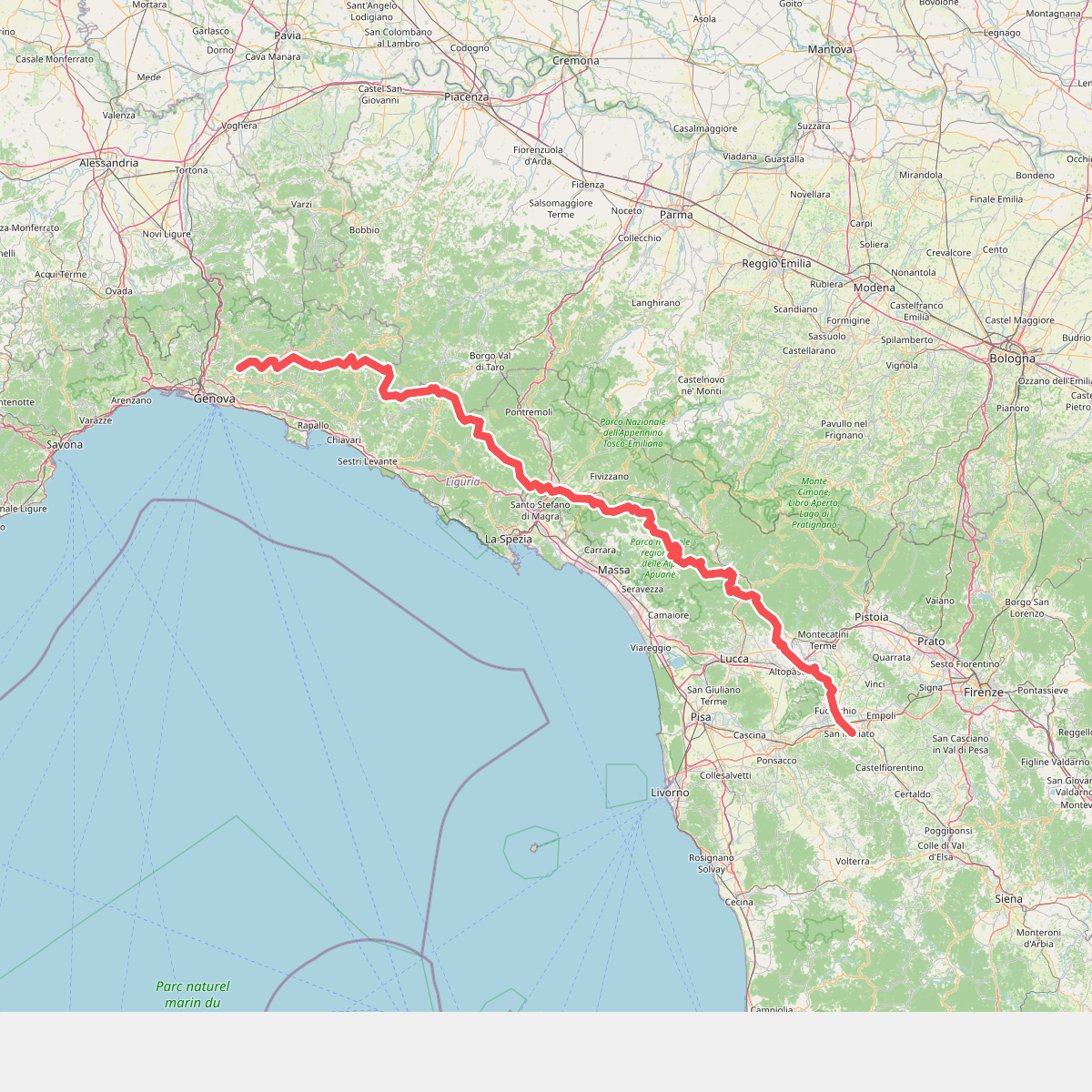
#8. Cammino di Assisi, Genova - San Miniato

#9. Farfanosa - Villa Cella - Cappelletta delle Lame

#10. Gramizza - Amborzasco - Monte Penna

#11. Lago delle Lame - Ponte sul torrente Rezzoaglio - Cascata della Ravezza





