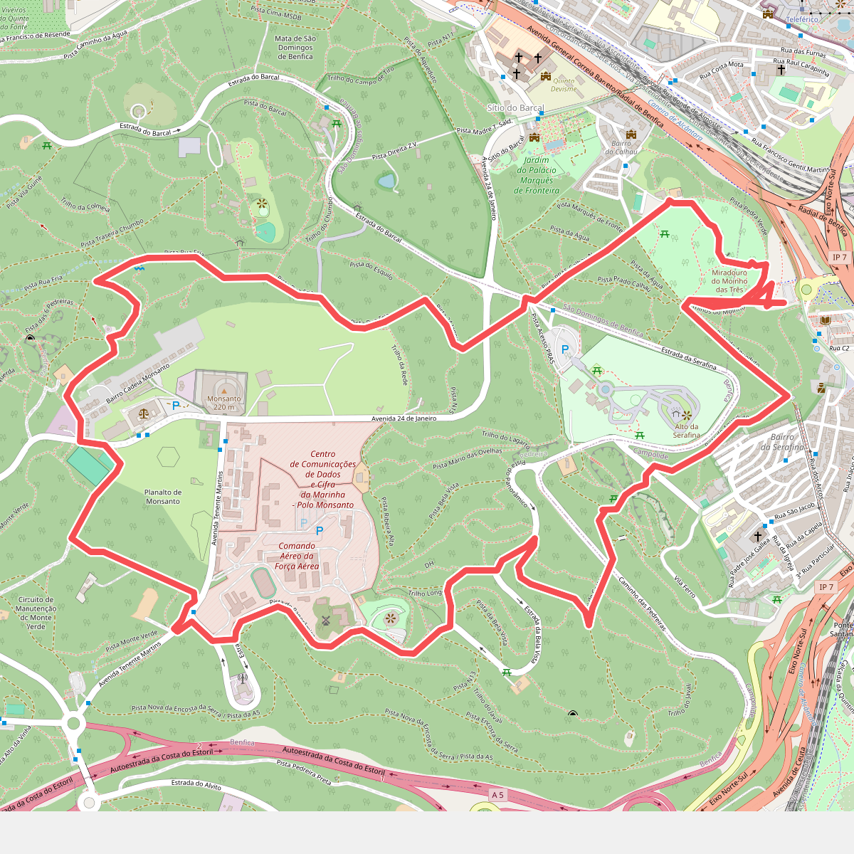
The best hiking routes in Parque Florestal de Monsanto
Discover the best walks in Parque Florestal de Monsanto. 11 routes on the map, with descriptions, photos and GPX.
About Parque Florestal de Monsanto
Parque Florestal de Monsanto occupies a prominent, volcanic hill rising directly to the west of Lisbon's dense urban core. This is a heavily reforested landscape, planted in the mid-twentieth century to control erosion and provide a green lung for the city. Walkers will find a dense canopy dominated by stone pines, eucalyptus, oaks, and cypresses, which blocks out much of the city noise but also limits long-distance views to specific cleared viewpoints. The terrain is characterized by steep, rolling slopes and deep ravines, offering a surprisingly rugged workout within city limits.
Read more
About Parque Florestal de Monsanto
Parque Florestal de Monsanto occupies a prominent, volcanic hill rising directly to the west of Lisbon's dense urban core. This is a heavily reforested landscape, planted in the mid-twentieth century to control erosion and provide a green lung for the city. Walkers will find a dense canopy dominated by stone pines, eucalyptus, oaks, and cypresses, which blocks out much of the city noise but also limits long-distance views to specific cleared viewpoints. The terrain is characterized by steep, rolling slopes and deep ravines, offering a surprisingly rugged workout within city limits.
Read moreParque Florestal de Monsanto occupies a prominent, volcanic hill rising directly to the west of Lisbon's dense urban core. This is a heavily reforested landscape, planted in the mid-twentieth century to control erosion and provide a green lung for the city. Walkers will find a dense canopy dominated by stone pines, eucalyptus, oaks, and cypresses, which blocks out much of the city noise but also limits long-distance views to specific cleared viewpoints. The terrain is characterized by steep, rolling slopes and deep ravines, offering a surprisingly rugged workout within city limits.
Underfoot, the trail network is a mix of wide, paved multi-use paths, gravel forestry roads, and narrow, dirt singletracks crisscrossed by exposed tree roots and loose basalt stones. The park is divided by several major highways, meaning you will occasionally hear traffic or need to use designated pedestrian overpasses to transition between different sectors. The southern slopes face the Tagus estuary and feature more open, Mediterranean scrubland, while the northern valleys are shaded, damp, and densely overgrown with ivy and ferns.
This park is not a pristine, untouched wilderness; you will frequently encounter infrastructure such as disused stone quarries, active sports complexes, and fenced municipal facilities. The areas near the parking lots and picnic sites are often busy with local families and runners, but the steep, unmarked dirt tracks in the central valleys remain much quieter. It is a place for functional hill training and shaded forest walking rather than open, panoramic ridge hiking.
Hiking routes in Parque Florestal de Monsanto (11)
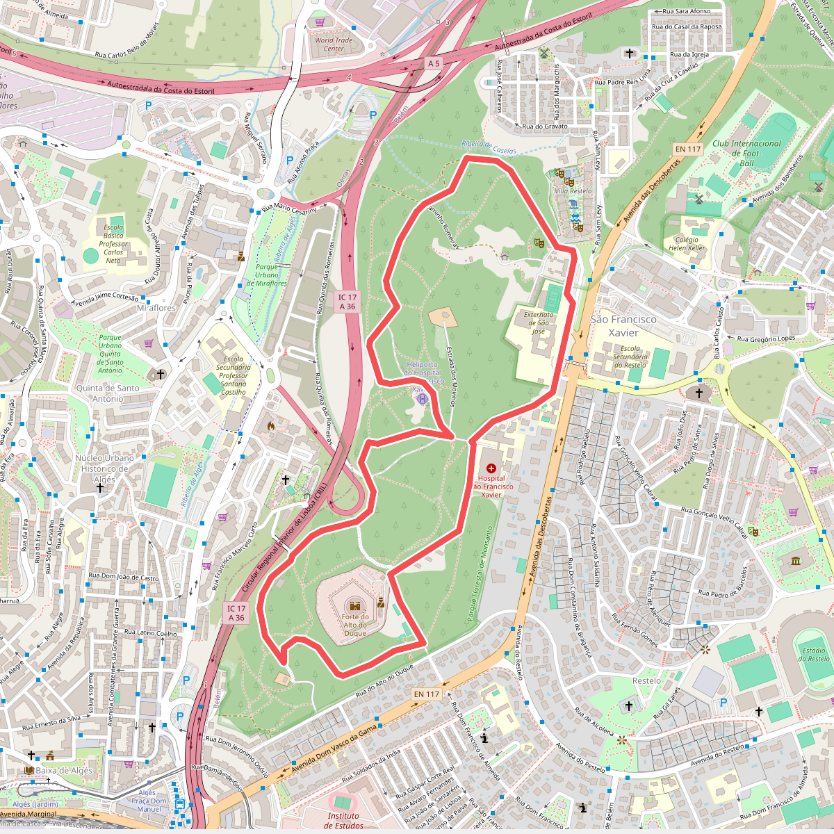
#1. Alto do Duque
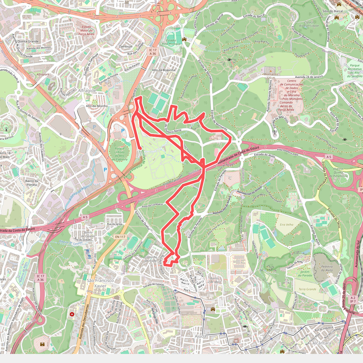
#2. Campismo - Chaminés d'El Rei
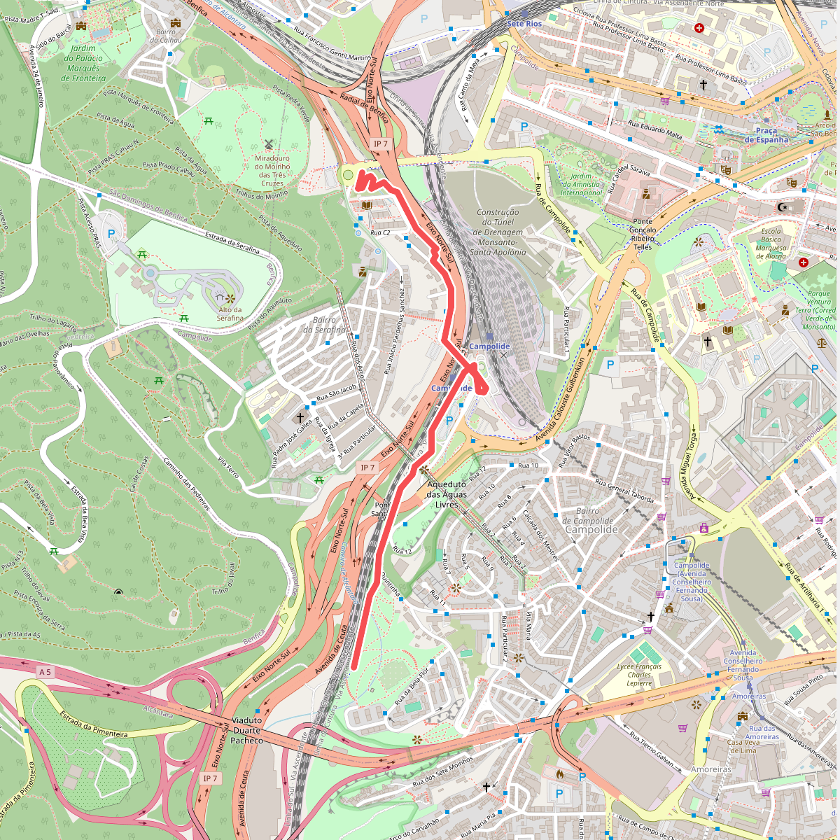
#3. Corredor Verde do Vale de Alcântara
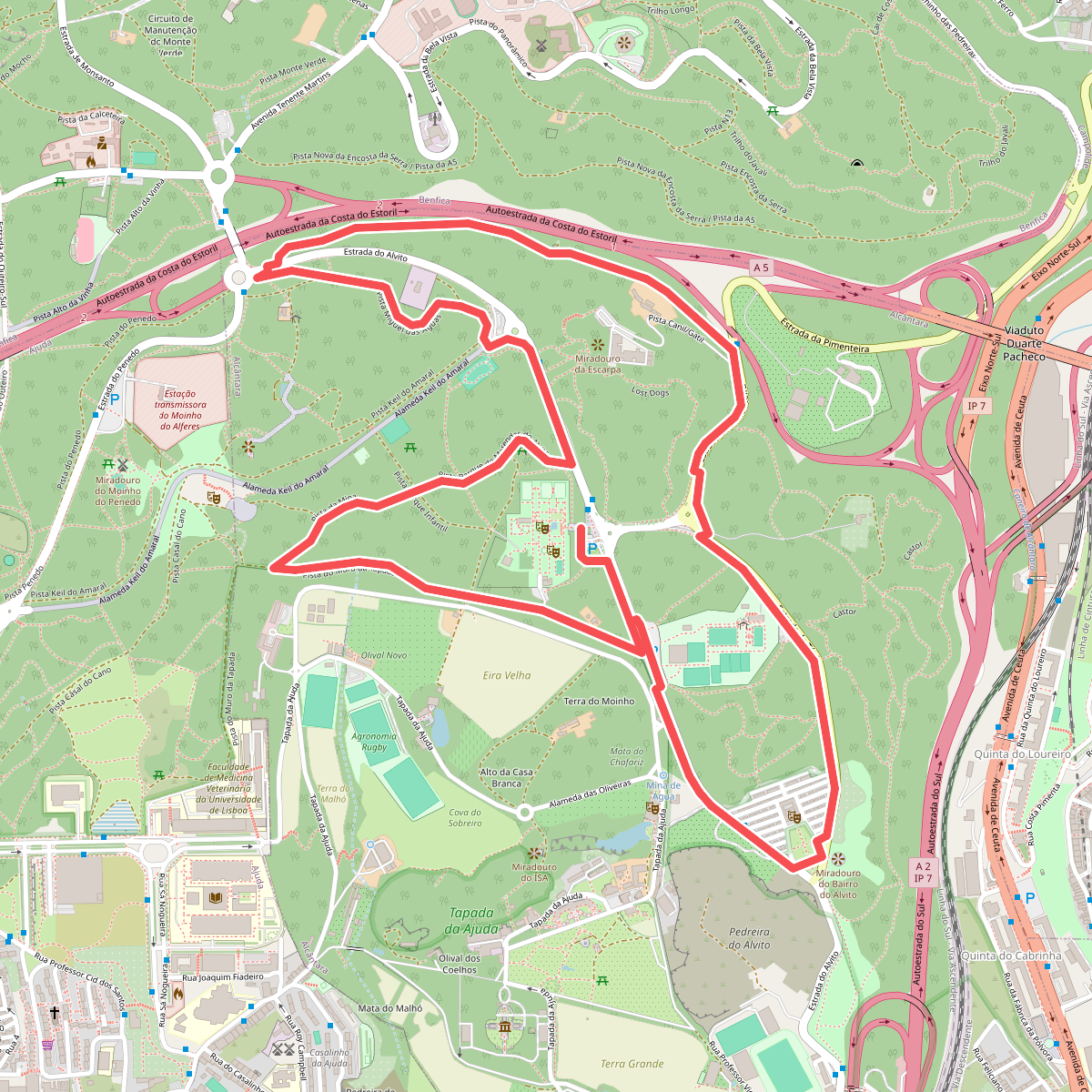
#4. Encosta da Pimenteira - Alcântara
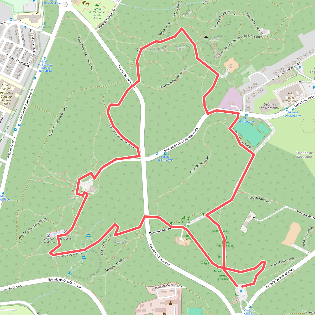
#5. Moinhos do Mocho
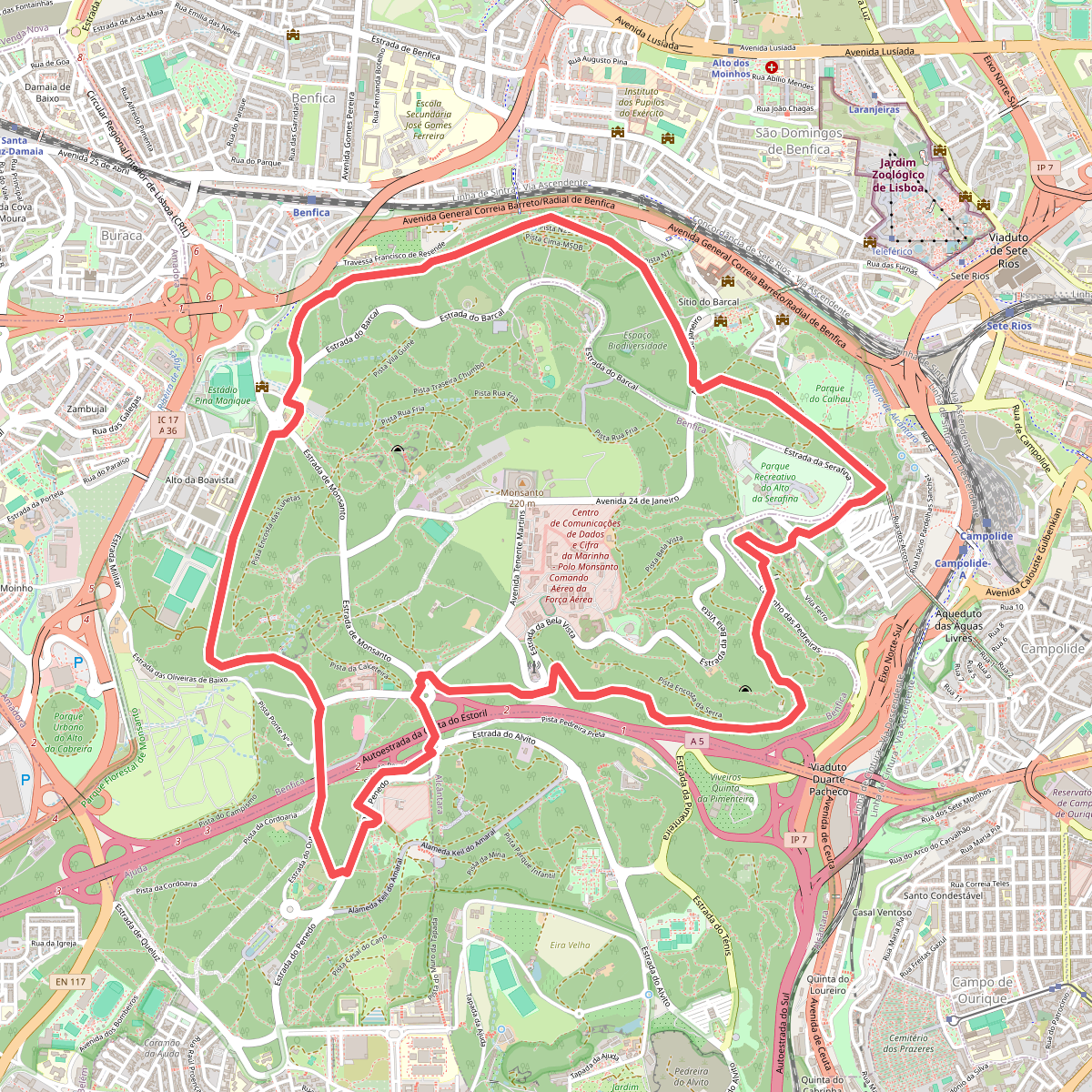
#6. Pista de Corrida
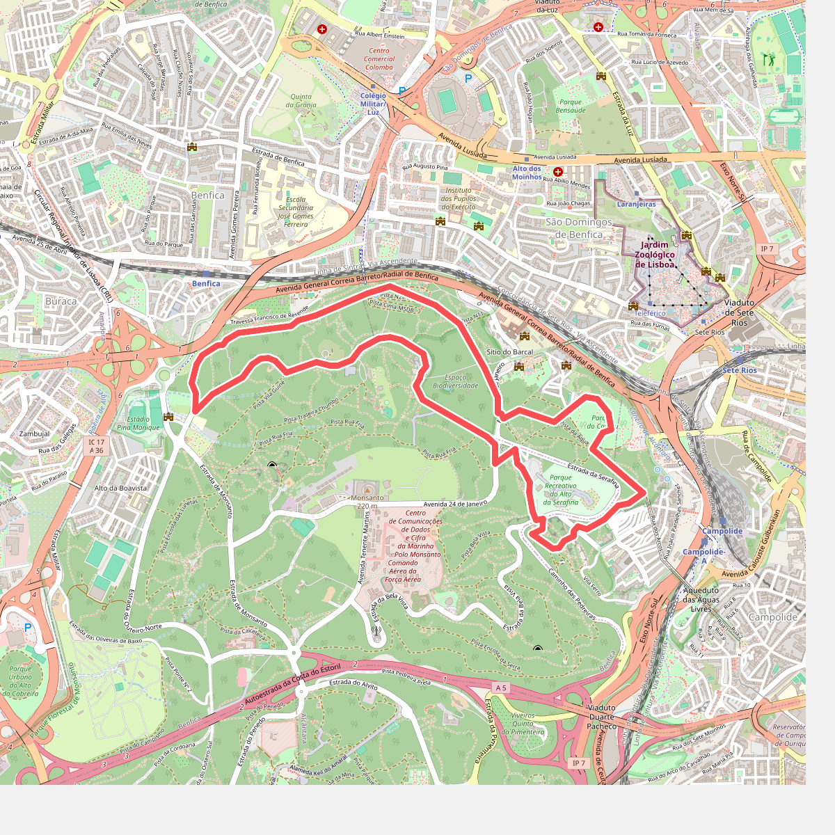
#7. Rota da Água
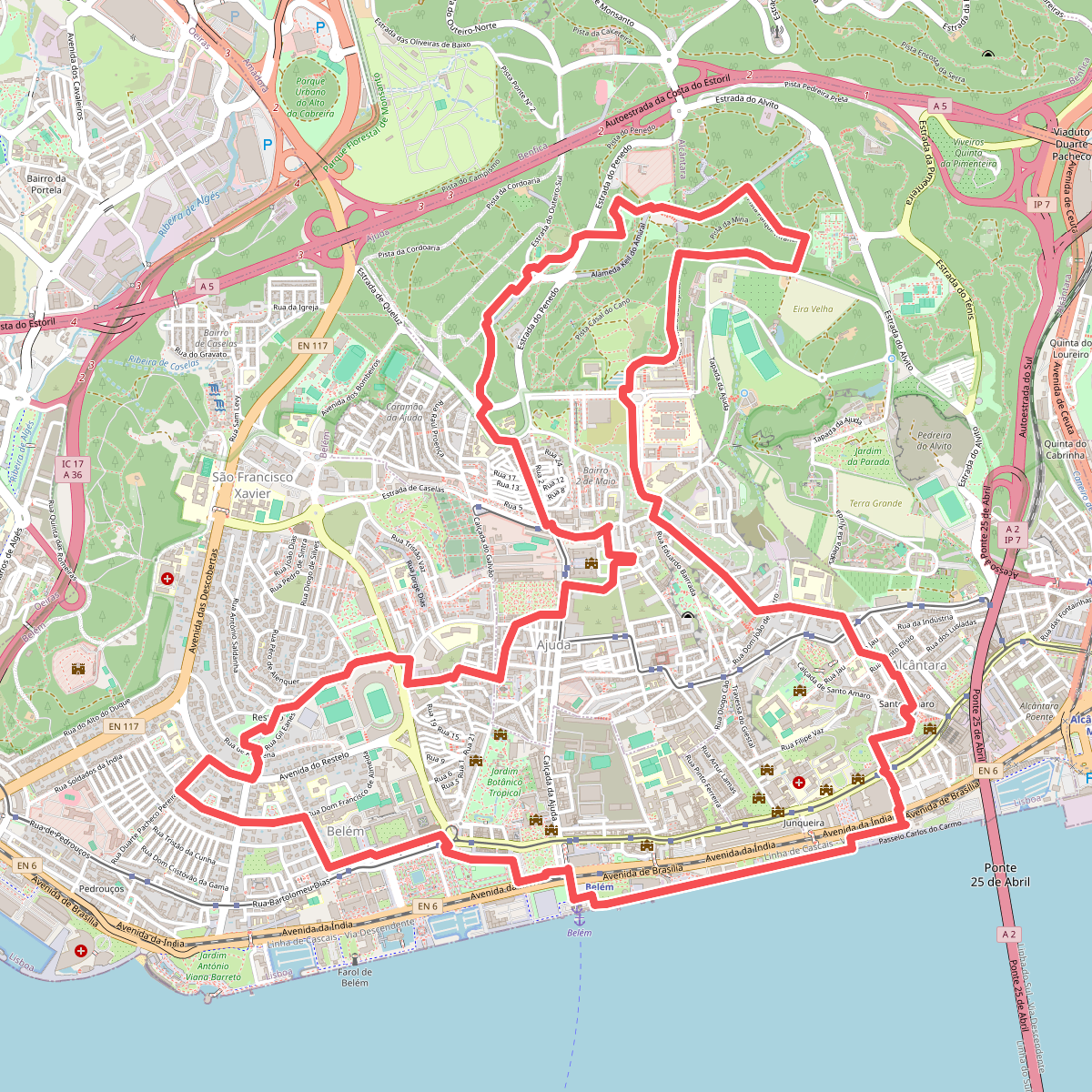
#8. Rota da Biodiversidade
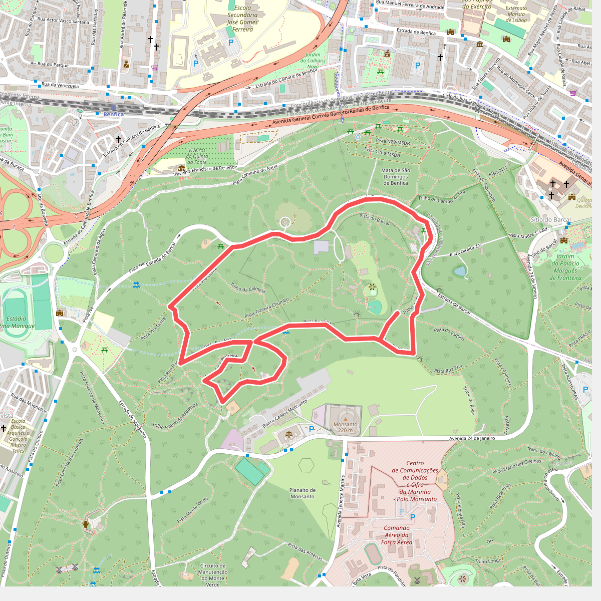
#9. Seis Pedreiras
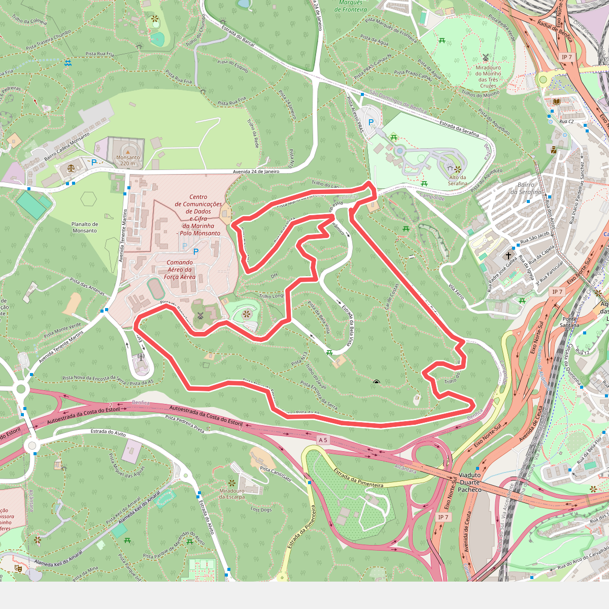
#10. Vila Pouca - Bela Vista