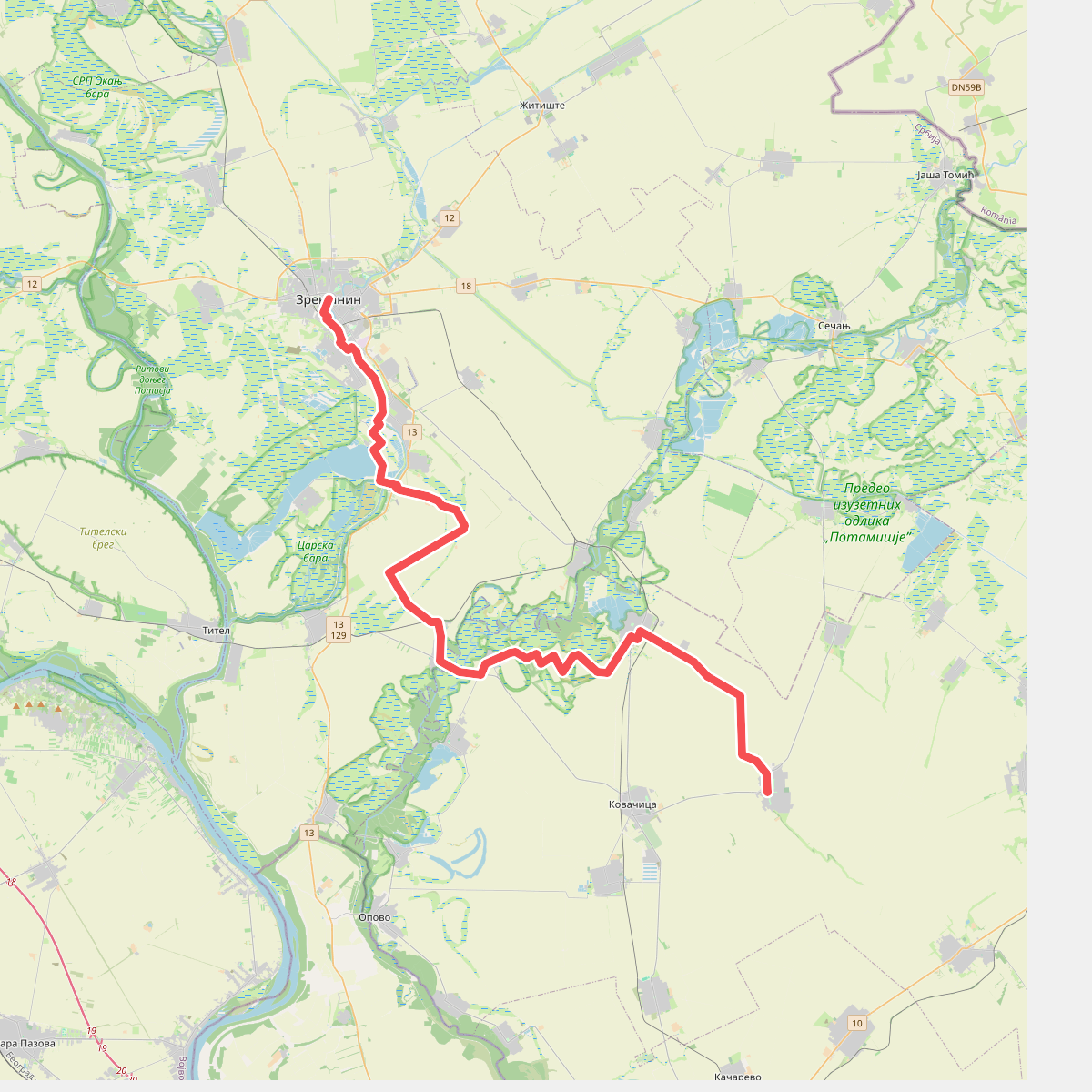
The best hiking routes in Предео изузетних одлика „Потамишје”
Discover the best walks in Предео изузетних одлика „Потамишје”. 1 routes on the map, with descriptions, photos and GPX.
About Предео изузетних одлика „Потамишје”
Предео изузетних одлика „Потамишје” offers a walking experience defined entirely by the slow-moving Tamis River and its wide, flat alluvial floodplain. Unlike drier upland parks, this protected area consists of a mosaic of seasonal wetlands, willow forests, and open meadows that are regularly shaped by fluctuating river levels. Walkers should expect a landscape where water is the dominant element, meaning the ground underfoot is predominantly soft river clay, dirt tracks, and grassy embankments rather than gravel paths or rocky trails.
Read more
About Предео изузетних одлика „Потамишје”
Предео изузетних одлика „Потамишје” offers a walking experience defined entirely by the slow-moving Tamis River and its wide, flat alluvial floodplain. Unlike drier upland parks, this protected area consists of a mosaic of seasonal wetlands, willow forests, and open meadows that are regularly shaped by fluctuating river levels. Walkers should expect a landscape where water is the dominant element, meaning the ground underfoot is predominantly soft river clay, dirt tracks, and grassy embankments rather than gravel paths or rocky trails.
Read moreПредео изузетних одлика „Потамишје” offers a walking experience defined entirely by the slow-moving Tamis River and its wide, flat alluvial floodplain. Unlike drier upland parks, this protected area consists of a mosaic of seasonal wetlands, willow forests, and open meadows that are regularly shaped by fluctuating river levels. Walkers should expect a landscape where water is the dominant element, meaning the ground underfoot is predominantly soft river clay, dirt tracks, and grassy embankments rather than gravel paths or rocky trails.
As you follow the paths close to the riverbanks, the vegetation changes rapidly from dense, humid gallery forests of white willow and black poplar to open pastureland used for grazing. The terrain is exceptionally flat, with no hills or significant elevation changes, meaning your progress is measured by the winding bends of the river and the shifting density of the trees. Old oxbow lakes and marshy depressions run parallel to the main river channel, often requiring walkers to stick to the raised embankments to find dry passage.
Late spring, particularly May, is when the landscape is at its most characteristic, as high water levels recede to leave rich green meadows and active bird nesting sites in the reeds. While some sections near local villages are used by fishermen and can be busier, the deeper stretches of the riverbanks offer a quiet, slow-paced walk through a working agricultural and natural floodplain. There are no marked hiking loops or tourist facilities, so route-finding relies on following agricultural tracks and riverside dykes.