


The best hiking routes in Quantock Hills National Landscape
Discover the best walks in Quantock Hills National Landscape. 2 routes on the map, with descriptions, photos and GPX.
About Quantock Hills National Landscape
The Quantock Hills National Landscape is a compact ridge of ancient sandstone rising above the Somerset levels. The area is defined by a sharp contrast between its western and eastern slopes. On the high, exposed western ridge, you walk through open heathland dominated by gorse and heather, where the paths are mostly stony, wide tracks. In contrast, the eastern side is cut by deep, wooded valleys known locally as combes, where sessile oak woodlands shade narrow, damp paths that run alongside small, rocky streams.
Read more
About Quantock Hills National Landscape
The Quantock Hills National Landscape is a compact ridge of ancient sandstone rising above the Somerset levels. The area is defined by a sharp contrast between its western and eastern slopes. On the high, exposed western ridge, you walk through open heathland dominated by gorse and heather, where the paths are mostly stony, wide tracks. In contrast, the eastern side is cut by deep, wooded valleys known locally as combes, where sessile oak woodlands shade narrow, damp paths that run alongside small, rocky streams.
Read moreThe Quantock Hills National Landscape is a compact ridge of ancient sandstone rising above the Somerset levels. The area is defined by a sharp contrast between its western and eastern slopes. On the high, exposed western ridge, you walk through open heathland dominated by gorse and heather, where the paths are mostly stony, wide tracks. In contrast, the eastern side is cut by deep, wooded valleys known locally as combes, where sessile oak woodlands shade narrow, damp paths that run alongside small, rocky streams.
Underfoot, the terrain varies from loose red sandstone gravel on the higher ridges to soft leaf mould and muddy clay in the combes. This is not a landscape of dramatic peaks or sheer cliffs, but rather a series of gently rolling summits that reach just over three hundred metres. The vegetation tells the story of the soil, with acid-loving bracken on the heights giving way to ferns and mosses in the sheltered valleys. In August, the high commons turn a deep purple as the heather blooms, which is a distinct feature of the open tops.
While the main ridge tracks are straightforward to navigate, the paths through the combes can be steep and uneven, crossed by exposed tree roots. The popular parking spots near Nether Stowey and Crowcombe Park Gate tend to be busier, but the smaller valleys in the north-west offer quieter walking. It is a working landscape of sheep grazing and forestry, meaning you will regularly encounter livestock and timber management tracks rather than manicured parkland.
Hiking routes in Quantock Hills National Landscape (2)
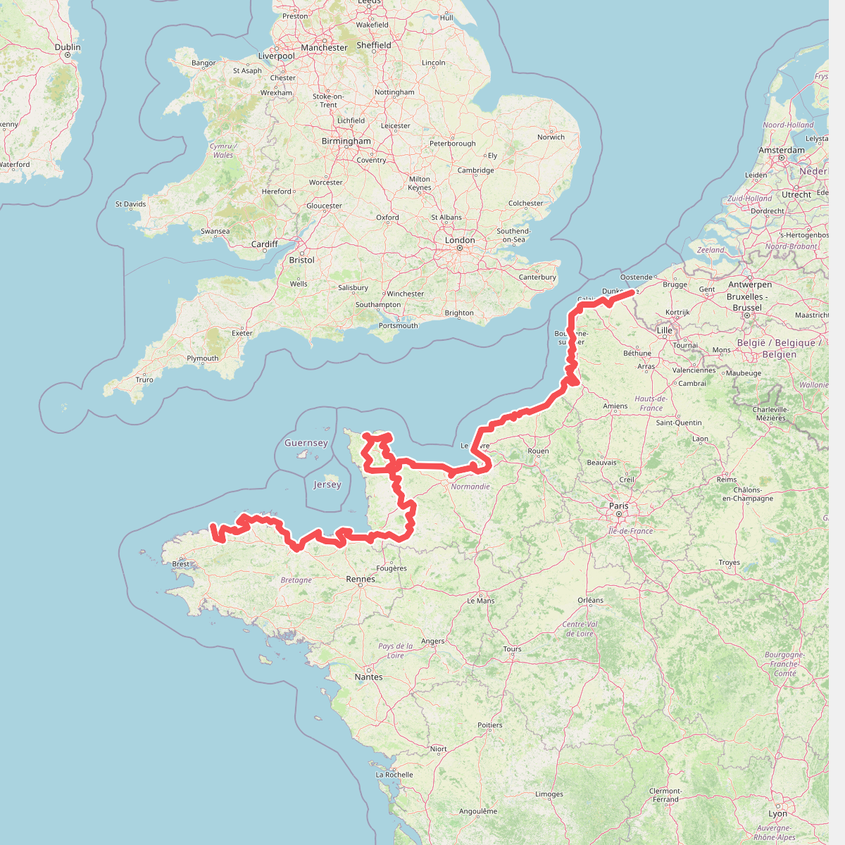
#1. Eurovelo 4
Roscoff,Saint-Pol-de-Léon,Plouénan,Taulé,Saint-Martin-des-Champs,Morlaix,Plouezoc'h,Plougasnou,Saint-Jean-du-Doigt,Guimaëc,Locquirec,Plestin-les-Grèves,Saint-Michel-en-Grève,Ploumilliau,Ploubezre,Lannion,Trébeurden,Pleumeur-Bodou,Trégastel,Perros-Guirec,Louannec,Camlez,Penvénan,Plouguiel,Trédarzec,Pleumeur-Gautier,Lézardrieux,Paimpol,Plouézec,Plouha,Tréveneuc,Binic-Étables-sur-Mer,Pordic,Plérin,Saint-Brieuc,Langueux,Hillion,Lamballe-Armor,Pléneuf-Val-André,Erquy,Fréhel,Plévenon,Pléboulle,Matignon,Saint-Cast-le-Guildo,Beaussais-sur-Mer,Tréméreuc,Plouër-sur-Rance,Saint-Suliac,Saint-Père-Marc-en-Poulet,Saint-Malo,Saint-Coulomb,Cancale,Saint-Méloir-des-Ondes,Hirel,Cherrueix,France métropolitaine,Roz-sur-Couesnon,Pontorson,Courtils,Céaux,Poilley,Ducey-les-Chéris,Isigny-le-Buat,Grandparigny,Romagny Fontenay,Saint-Clément-Rancoudray,Sourdeval,Vire Normandie,Souleuvre-en-Bocage,Pont-Bellanger,Tessy-Bocage,Fourneaux,Condé-sur-Vire,Bourgvallées,Saint-Lô,Agneaux,Pont-Hébert,Airel





