


The best hiking routes in Rhein-Ahr-Eifel
Discover the best walks in Rhein-Ahr-Eifel. 126 routes on the map, with descriptions, photos and GPX.

About Rhein-Ahr-Eifel
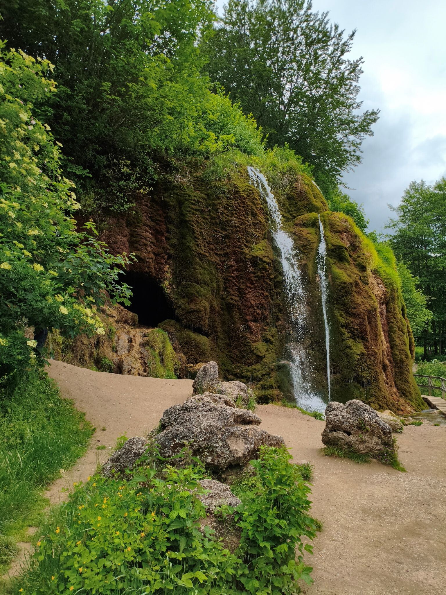
The Rhein-Ahr-Eifel presents a varied landscape shaped by volcanic history and river erosion, offering walkers a transition from deep, wooded valleys to open, rolling volcanic plateaus. In the northern and eastern sections, the terrain is dominated by dense beech and oak forests, where paths are often damp clay or leaf-litter tracks running parallel to fast-flowing streams like the Ahr. As you move toward the volcanic Eifel section, the forest thins out to reveal dry, grassy meadows and circular volcanic crater lakes, known locally as maars, where the underfoot conditions switch to gritty basalt gravel and dusty volcanic soil.
Read more
About Rhein-Ahr-Eifel
The Rhein-Ahr-Eifel presents a varied landscape shaped by volcanic history and river erosion, offering walkers a transition from deep, wooded valleys to open, rolling volcanic plateaus. In the northern and eastern sections, the terrain is dominated by dense beech and oak forests, where paths are often damp clay or leaf-litter tracks running parallel to fast-flowing streams like the Ahr. As you move toward the volcanic Eifel section, the forest thins out to reveal dry, grassy meadows and circular volcanic crater lakes, known locally as maars, where the underfoot conditions switch to gritty basalt gravel and dusty volcanic soil.
Read moreThe Rhein-Ahr-Eifel presents a varied landscape shaped by volcanic history and river erosion, offering walkers a transition from deep, wooded valleys to open, rolling volcanic plateaus. In the northern and eastern sections, the terrain is dominated by dense beech and oak forests, where paths are often damp clay or leaf-litter tracks running parallel to fast-flowing streams like the Ahr. As you move toward the volcanic Eifel section, the forest thins out to reveal dry, grassy meadows and circular volcanic crater lakes, known locally as maars, where the underfoot conditions switch to gritty basalt gravel and dusty volcanic soil.
Walking here means navigating distinct elevation changes, though the area lacks high alpine peaks or sheer rock walls. Instead, you will encounter steady climbs up forested ridges and descents into narrow, slate-lined valleys. The paths vary from wide, gravel forestry roads to narrow, stony singletracks that require careful footing, especially where tree roots cross the trail. In late spring, around May, the open meadows on the high plateaus are marked by yellow gorse blooms, while the deep valleys remain shaded and cool under a thick canopy.
This area is well-frequented, particularly around the dramatic rock formations of the Ahr valley and the prominent volcanic craters, where paved paths and signposted loops attract day-trippers. Walkers seeking quieter stretches can find them by choosing the steep, connecting woodland trails between the main valleys, where the terrain is more demanding and the path underfoot consists of natural earth and loose slate.
Hiking routes in Rhein-Ahr-Eifel (126)
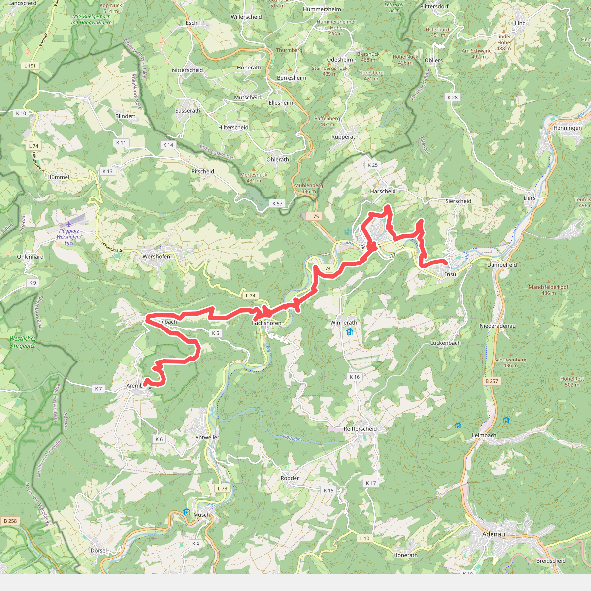
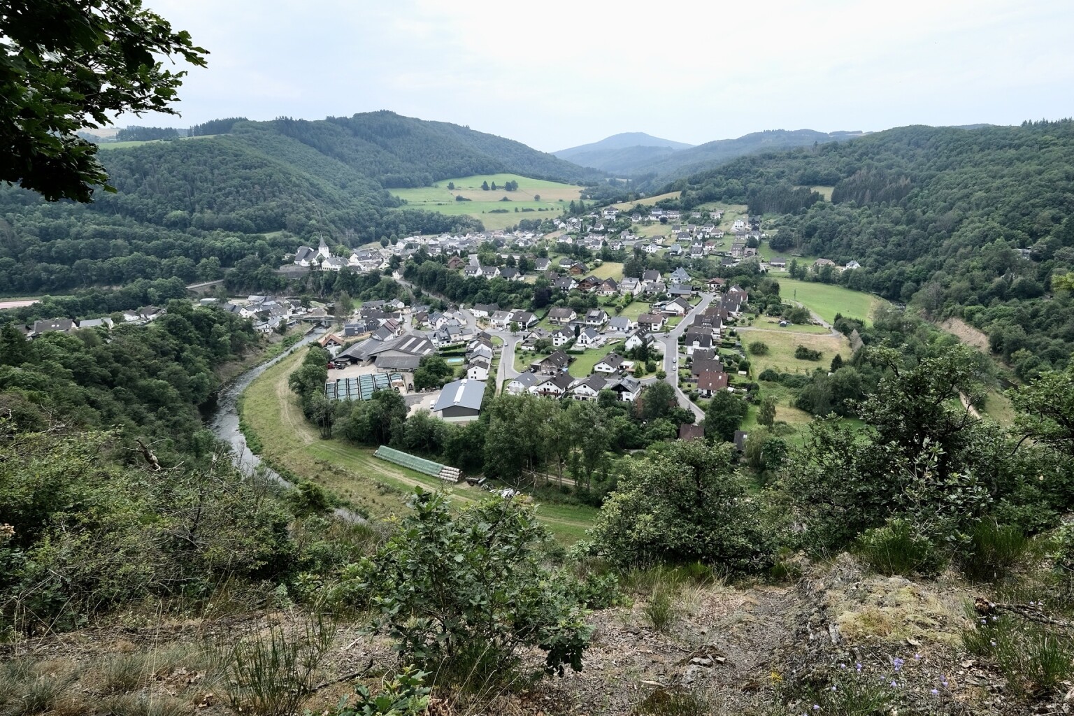
#1. Aremberg - Insul · AhrSteig etappe 3
Aremberg,Eichenbach,Wershofen,Winnerath,Schuld,Harscheid,Insul
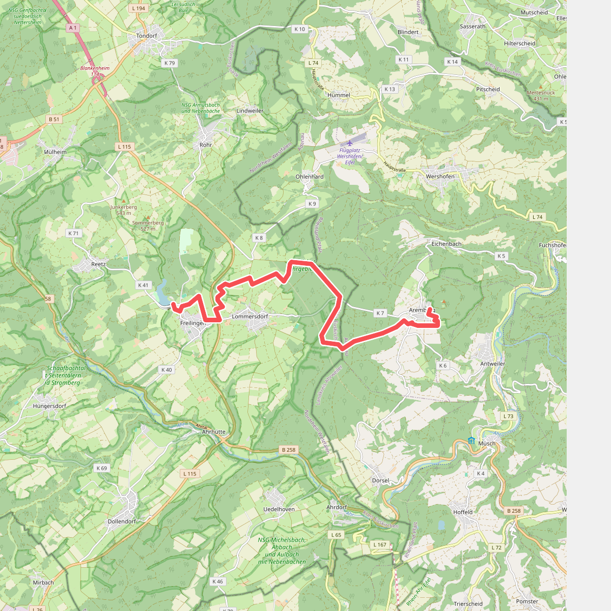
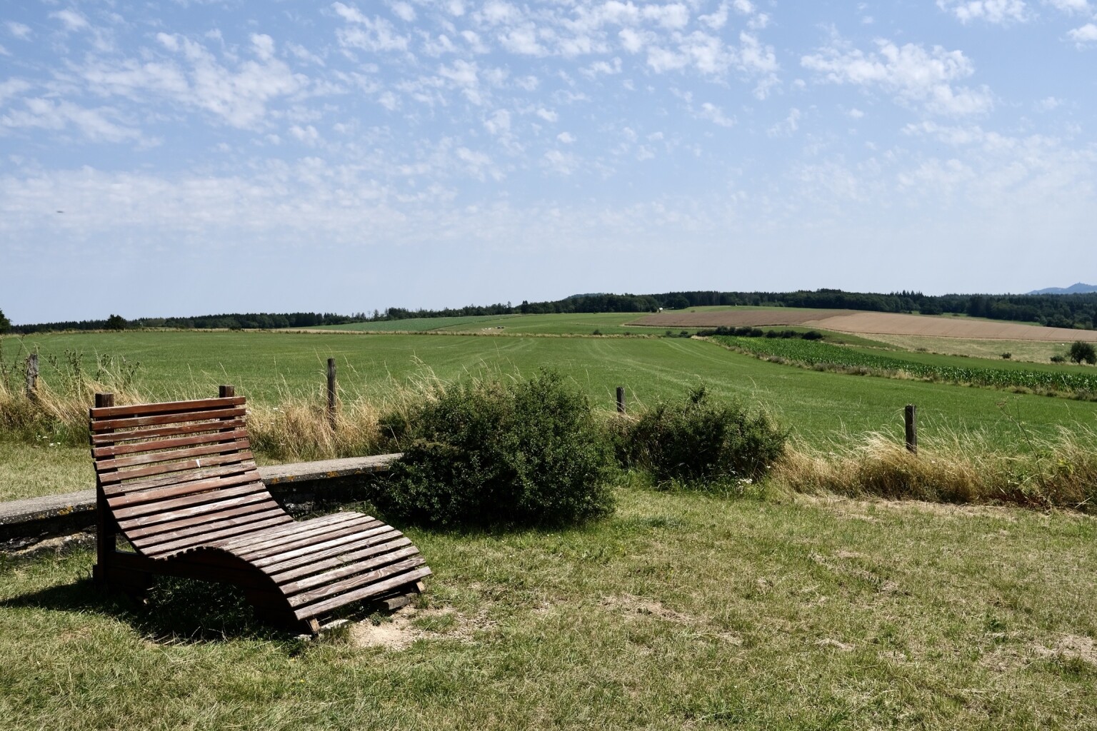
#2. Freilinger See - Aremberg · AhrSteig etappe 2
Blankenheim,Aremberg

#3. [14] Heckenbach Rundwanderweg
Heckenbach,Kesseling

#4. [3] Heckenbach Rundwanderweg
Heckenbach

#5. [6] Kesseling Rundwanderweg
Kesseling,Heckenbach
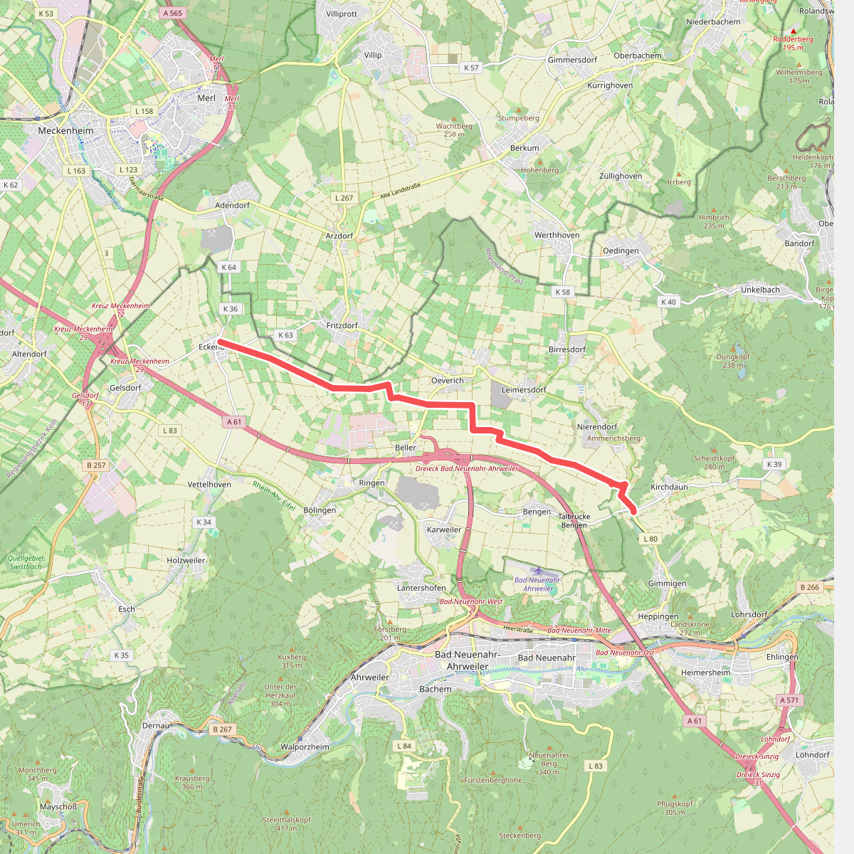
#6. Aachen-Frankfurter Heerstraße
Grafschaft,Bad Neuenahr-Ahrweiler

#7. Altenahr Familienweg - Spiel, Spaß und faszinierende Ausblicke
Altenahr

#8. Altenahr Rundweg 1
Altenahr

#9. Altenahr Rundweg 10
Kalenborn,Altenahr,Berg

#10. Altenahr Rundweg 2
Altenahr
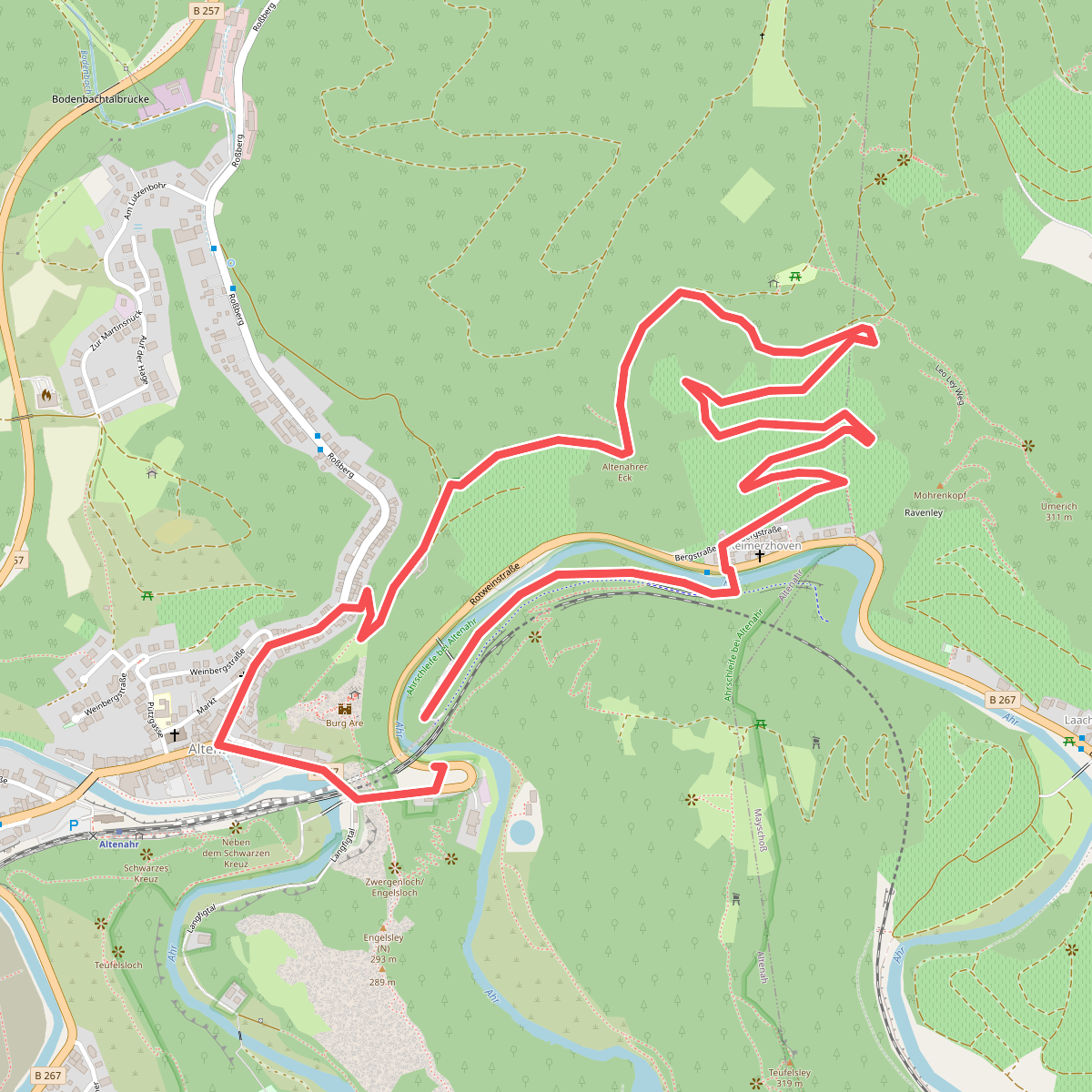
#11. Altenahr Rundweg 3
Altenahr,Mayschoß

#12. Altenahr Rundweg 4
Altenahr




