


The best hiking routes in Rottige Meenthe & Brandemeer
Discover the best walks in Rottige Meenthe & Brandemeer. 10 routes on the map, with descriptions, photos and GPX.
Managed by Staatsbosbeheer;Provincie Fryslân
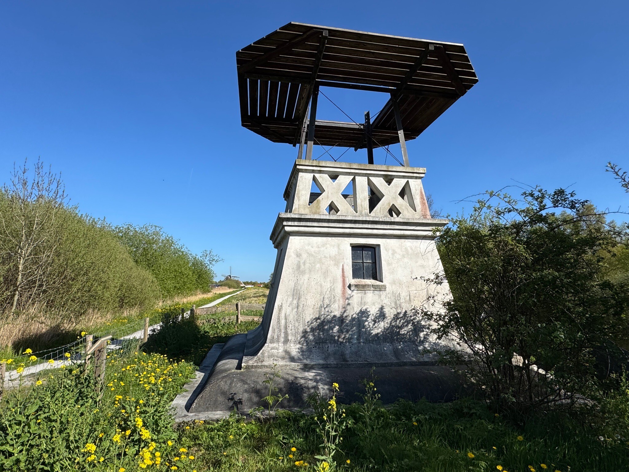
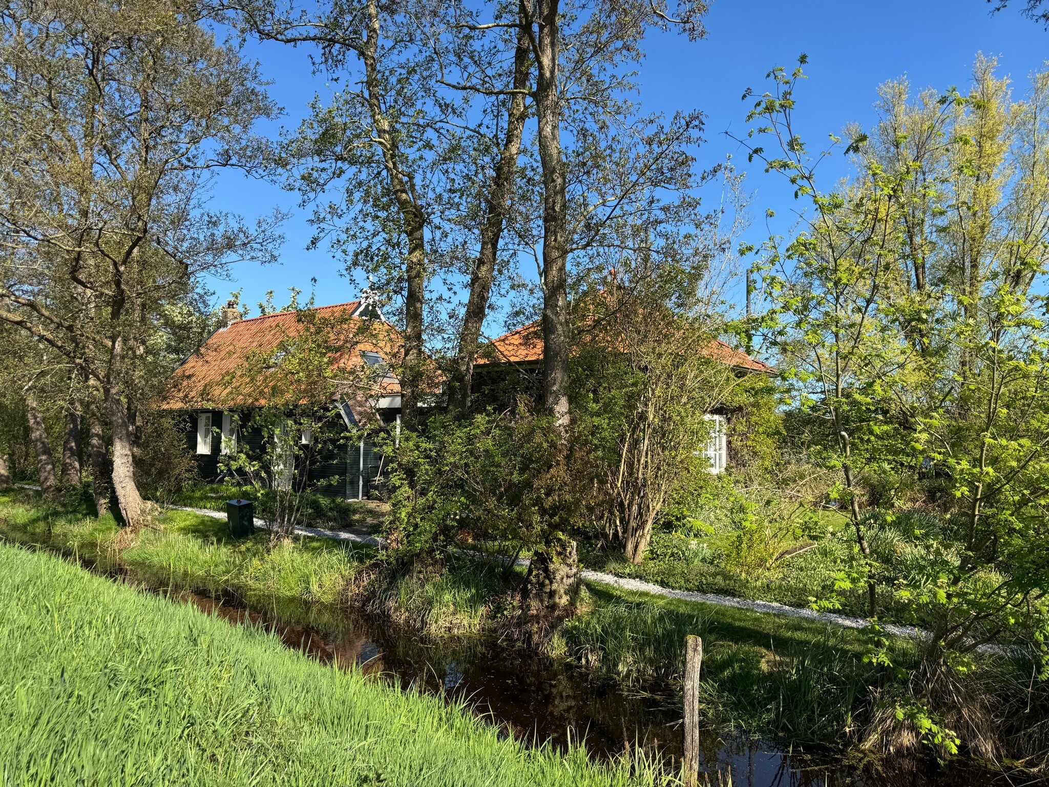
About Rottige Meenthe & Brandemeer
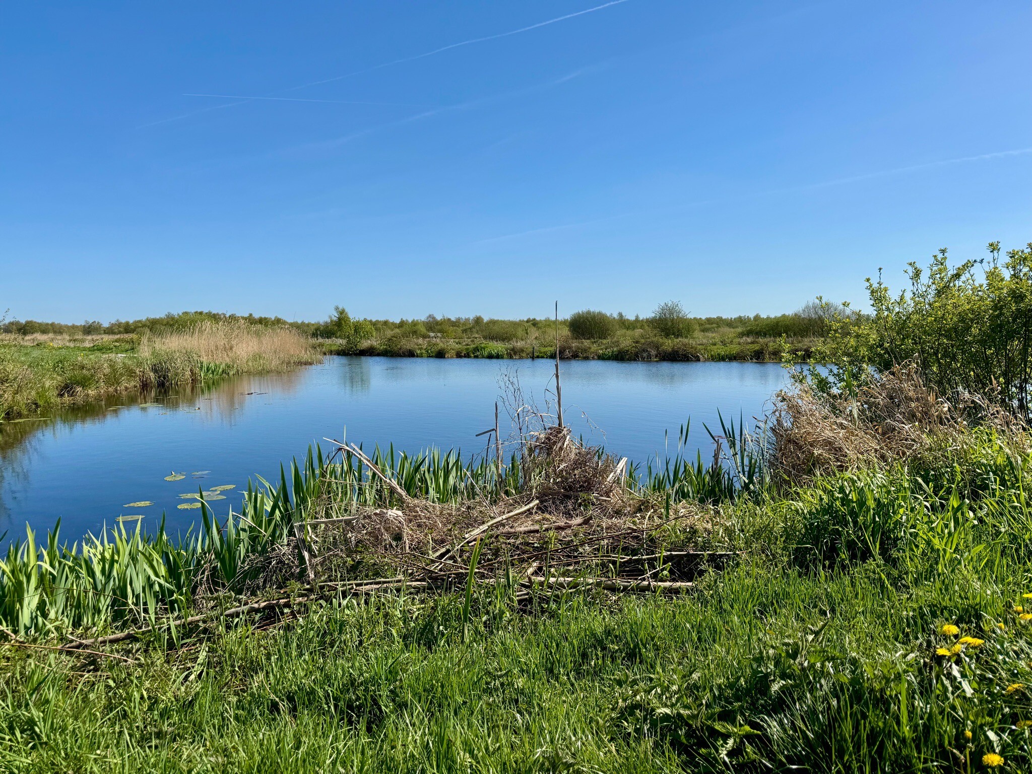
The Rottige Meenthe & Brandemeer nature reserve is a low-peat landscape shaped by historical turf cutting. Unlike the dry sandy forests of neighboring regions, this area consists of a dense network of petgaten (long water-filled trenches) and legakkers (narrow strips of land where peat was laid out to dry). Walking here means navigating a flat, watery labyrinth where reed beds, wet grasslands, and swamp forests dominate the view.
Read more
About Rottige Meenthe & Brandemeer
The Rottige Meenthe & Brandemeer nature reserve is a low-peat landscape shaped by historical turf cutting. Unlike the dry sandy forests of neighboring regions, this area consists of a dense network of petgaten (long water-filled trenches) and legakkers (narrow strips of land where peat was laid out to dry). Walking here means navigating a flat, watery labyrinth where reed beds, wet grasslands, and swamp forests dominate the view.
Read moreThe Rottige Meenthe & Brandemeer nature reserve is a low-peat landscape shaped by historical turf cutting. Unlike the dry sandy forests of neighboring regions, this area consists of a dense network of petgaten (long water-filled trenches) and legakkers (narrow strips of land where peat was laid out to dry). Walking here means navigating a flat, watery labyrinth where reed beds, wet grasslands, and swamp forests dominate the view.
Underfoot, the terrain is defined by its dampness. Walkers can expect a mix of grassy dikes, unpaved paths, and wooden boardwalks designed to carry you over the wettest peat soils. While some sections follow wider grassy tracks along the canals, other paths are narrow and require stepping over tree roots in the boggy alder woods. It is a soft, level landscape without any elevation, where the ground beneath your boots feels springy.
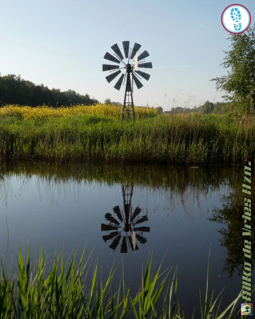
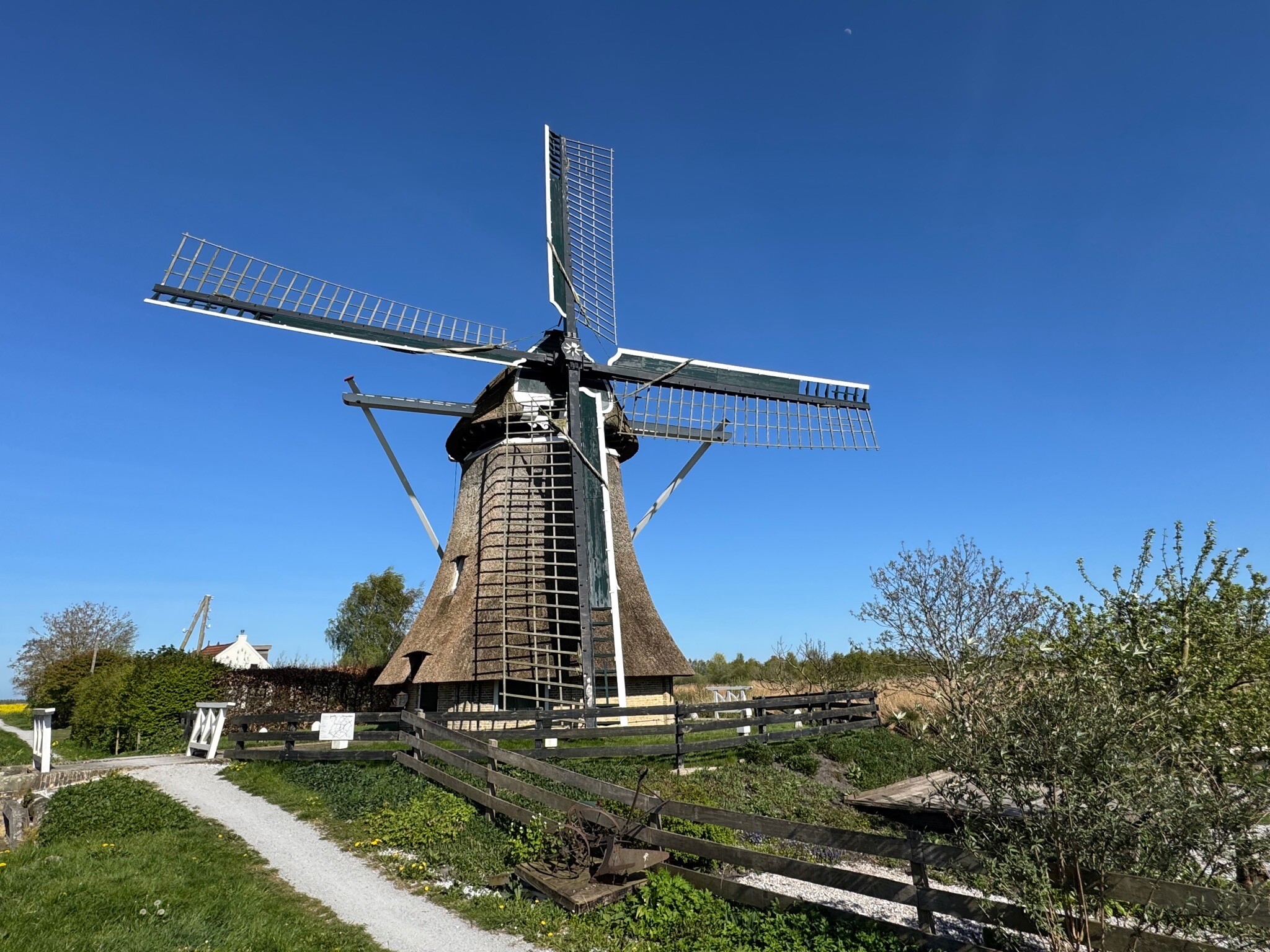
Because of the complex water network, your route options are often linear, dictated by the bridges and dikes that cross the old peat workings. In June, the ditches are covered in water lilies, and the reed beds are active with nesting marsh birds. The area is generally quiet, though the access points near the old windmills can attract more visitors on weekends. If you prefer dry, wide-open heathland or deep pine forests, this wet, enclosed peatland may not suit your plans.
Hiking routes in Rottige Meenthe & Brandemeer (10)
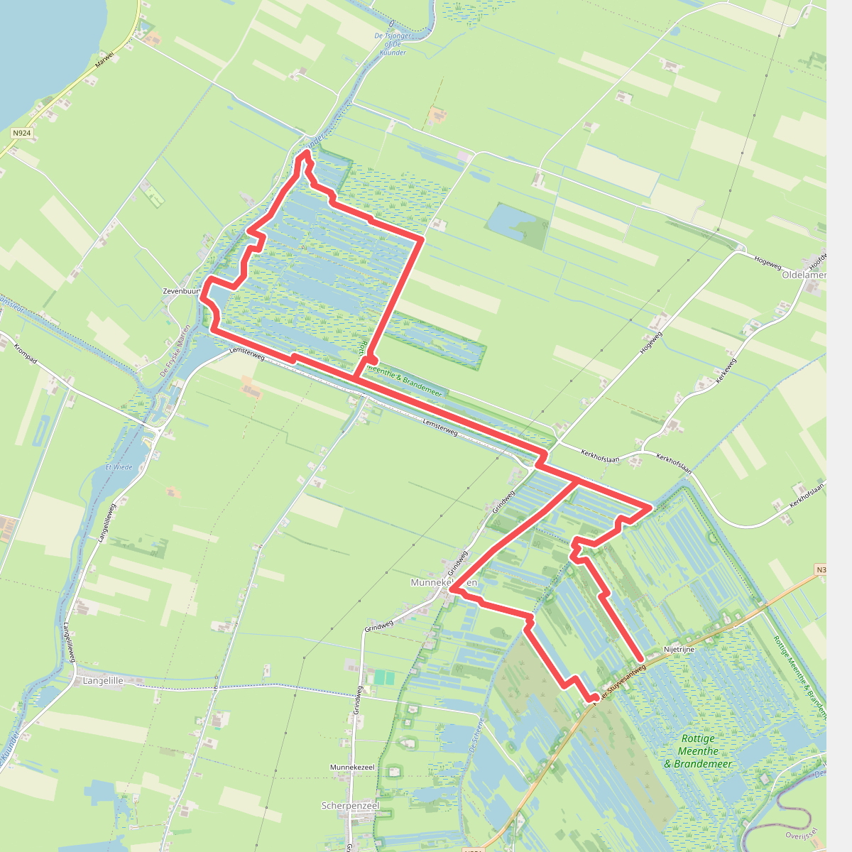
#1. Boswachterspad Rottige Meente
Munnekeburen,Delfstrahuizen,Oldelamer
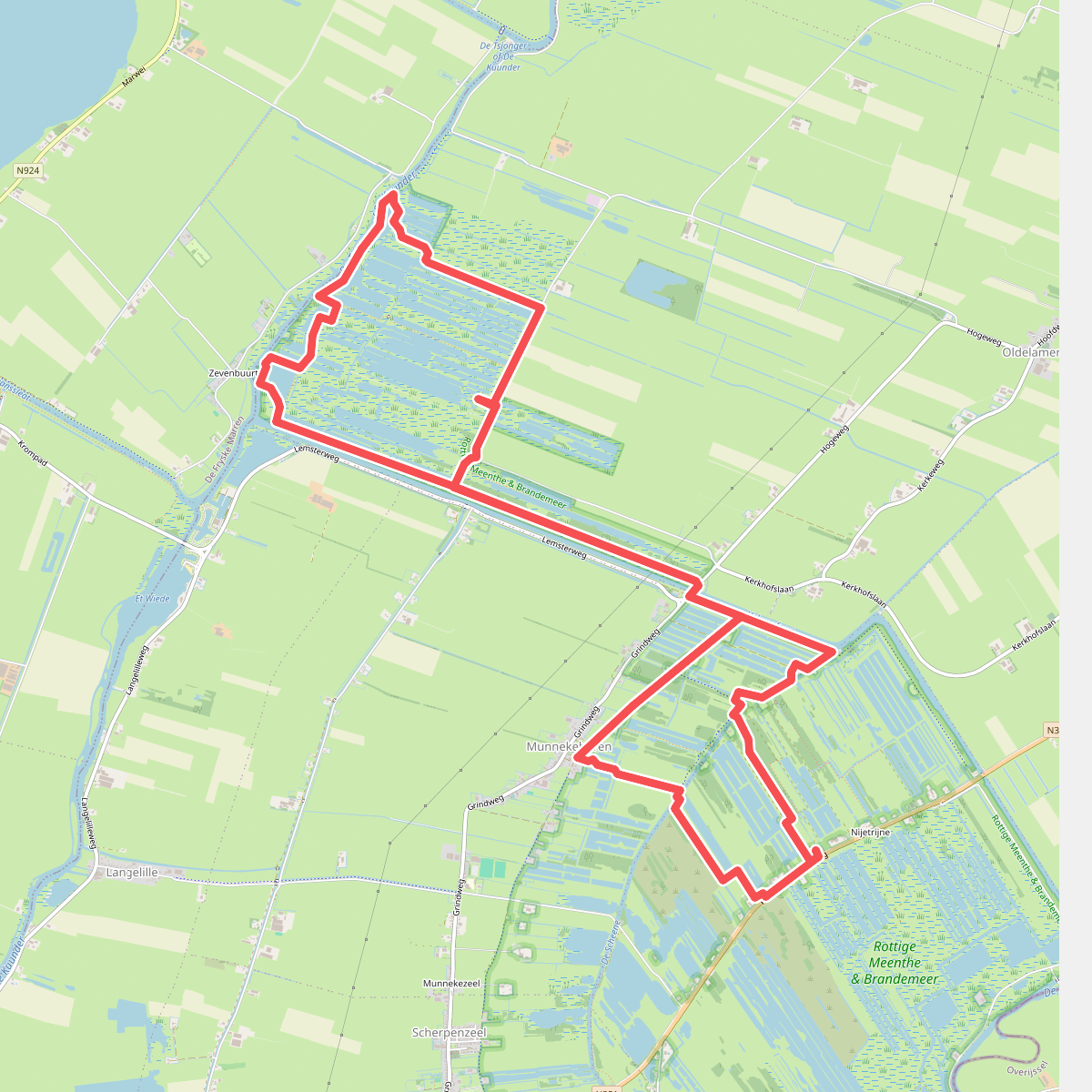
#2. Boswachterspad Rottige Meente
Munnekeburen,Oldelamer,Delfstrahuizen
#3. Oldemarkt - Oranje
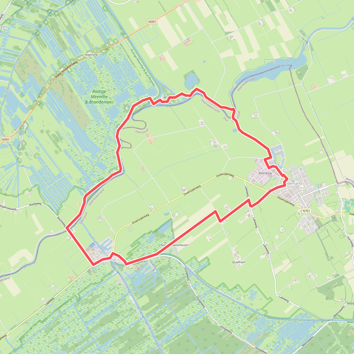
Oldemarkt,IJsselham,Ossenzijl,Spanga,Oldetrijne
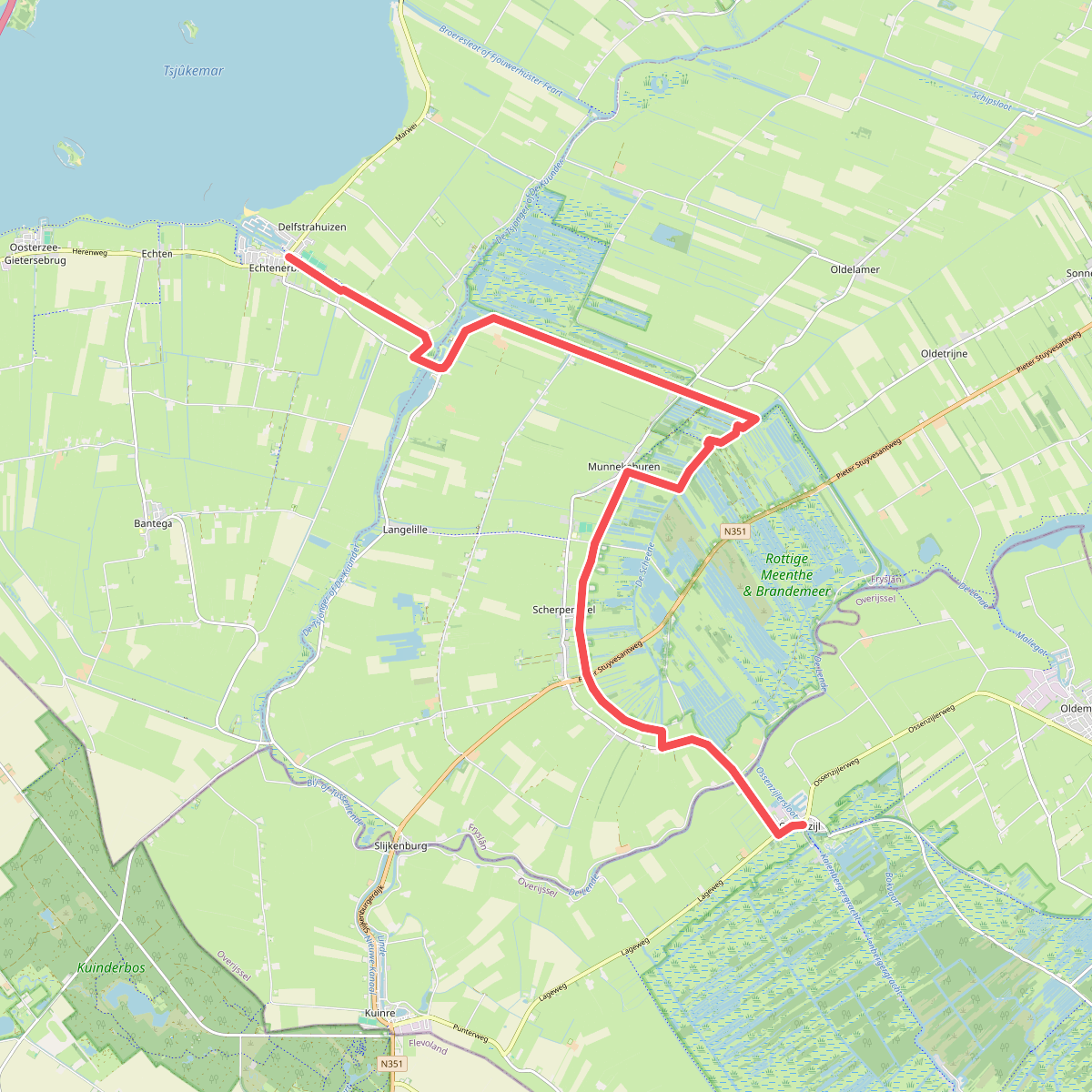
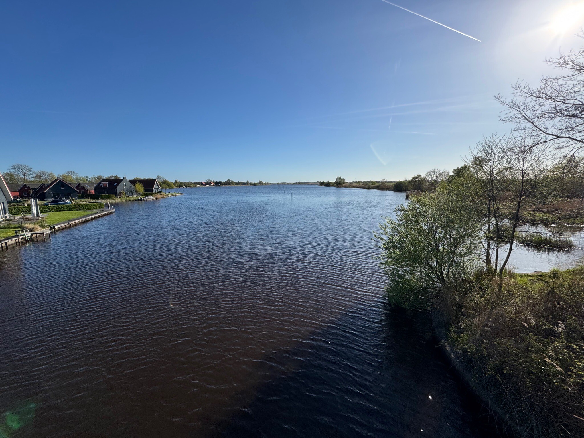
#4. Ossenzijl - Delfstrahuizen/Ech · Zuiderzeepad etappe 19
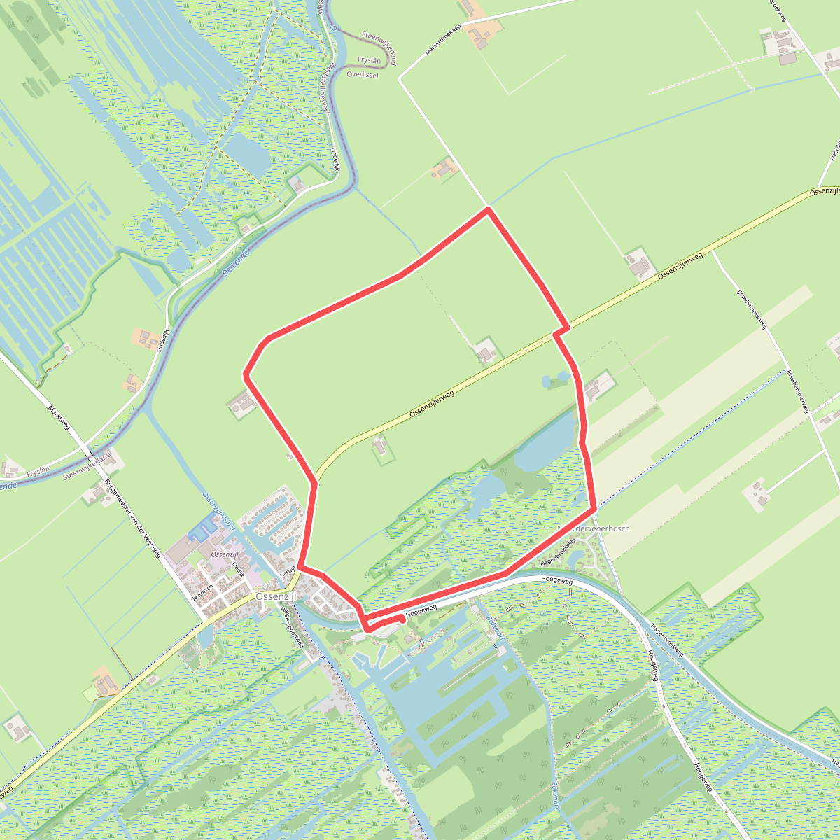
#5. Ossenzijl - Groen
Ossenzijl,Spanga
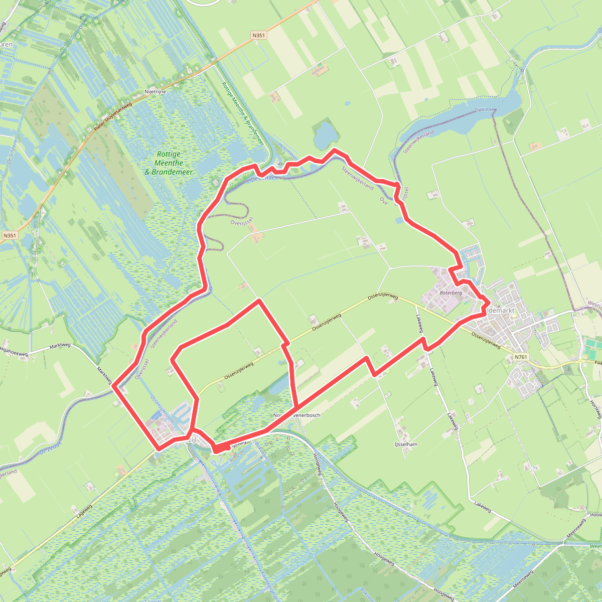
#6. Ossenzijl - Oranje
Ossenzijl,Spanga,Oldemarkt,Oldetrijne,IJsselham
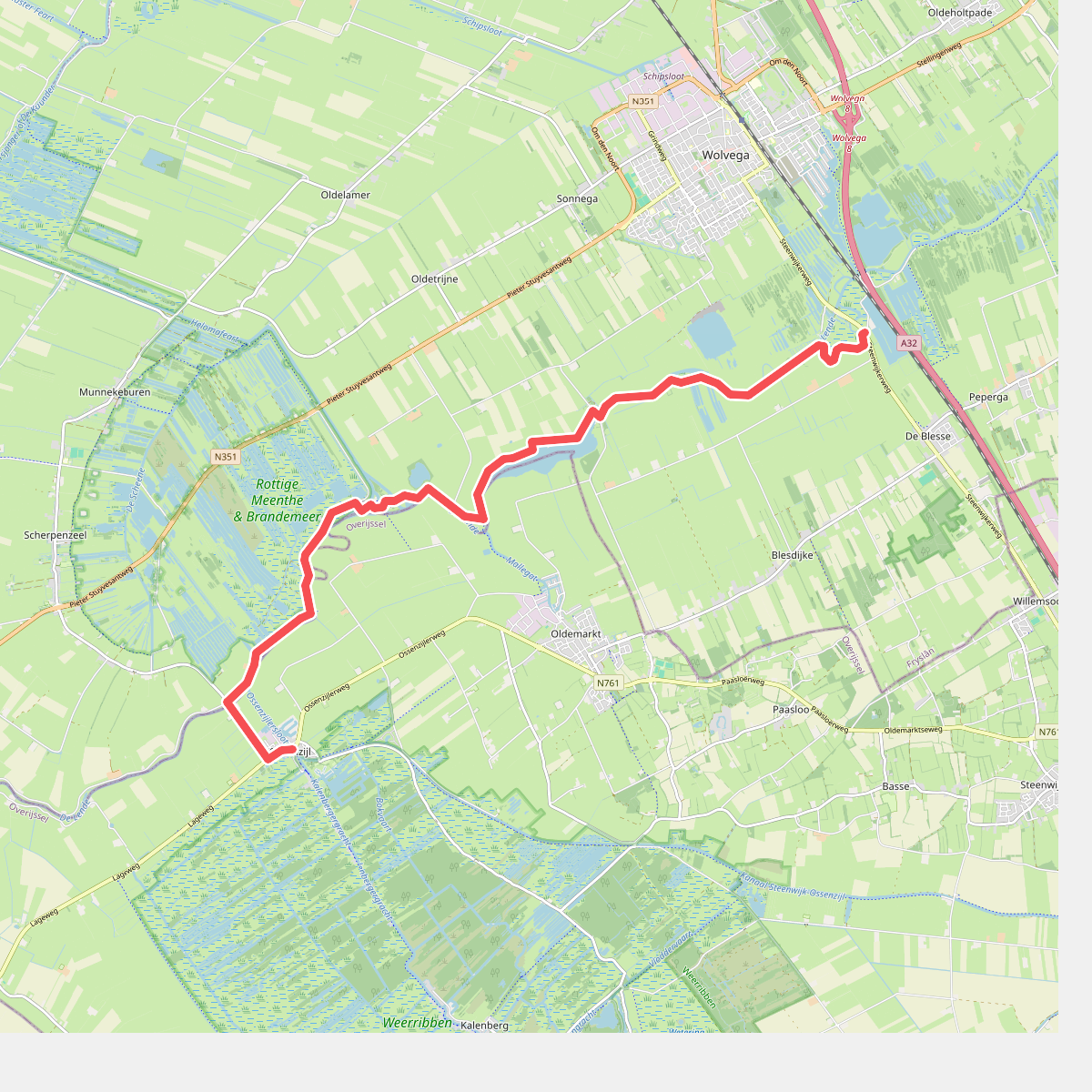
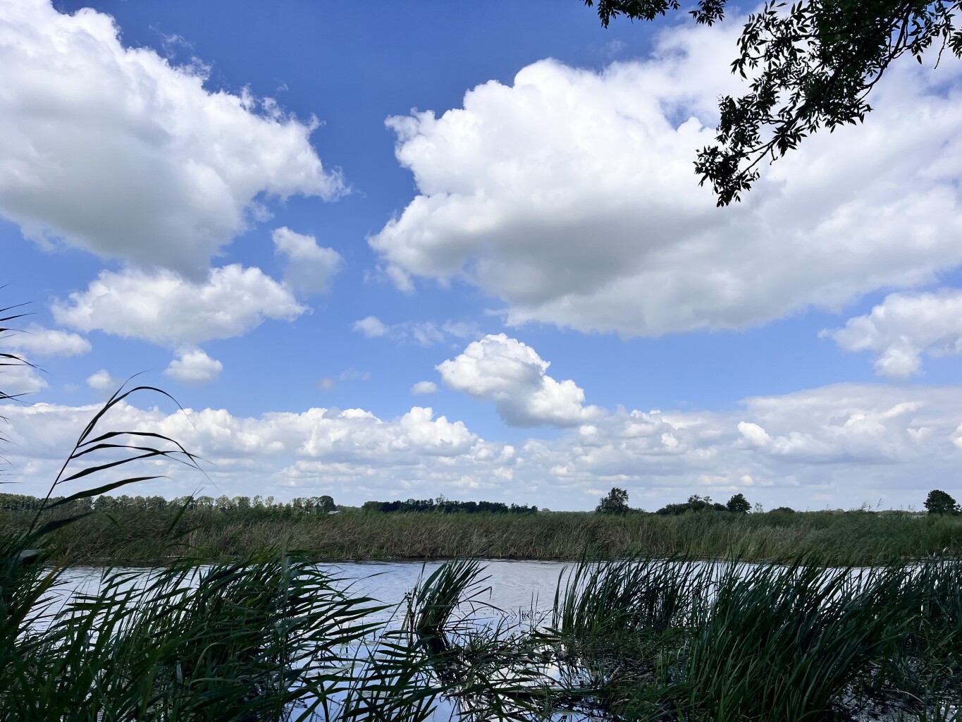
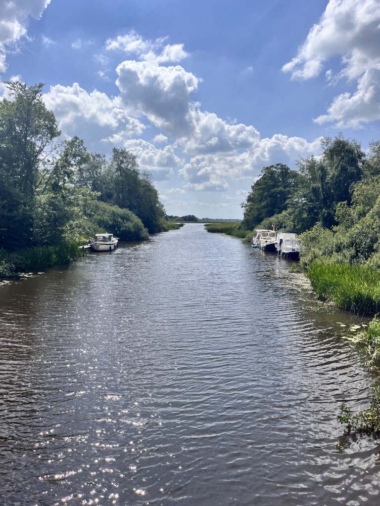
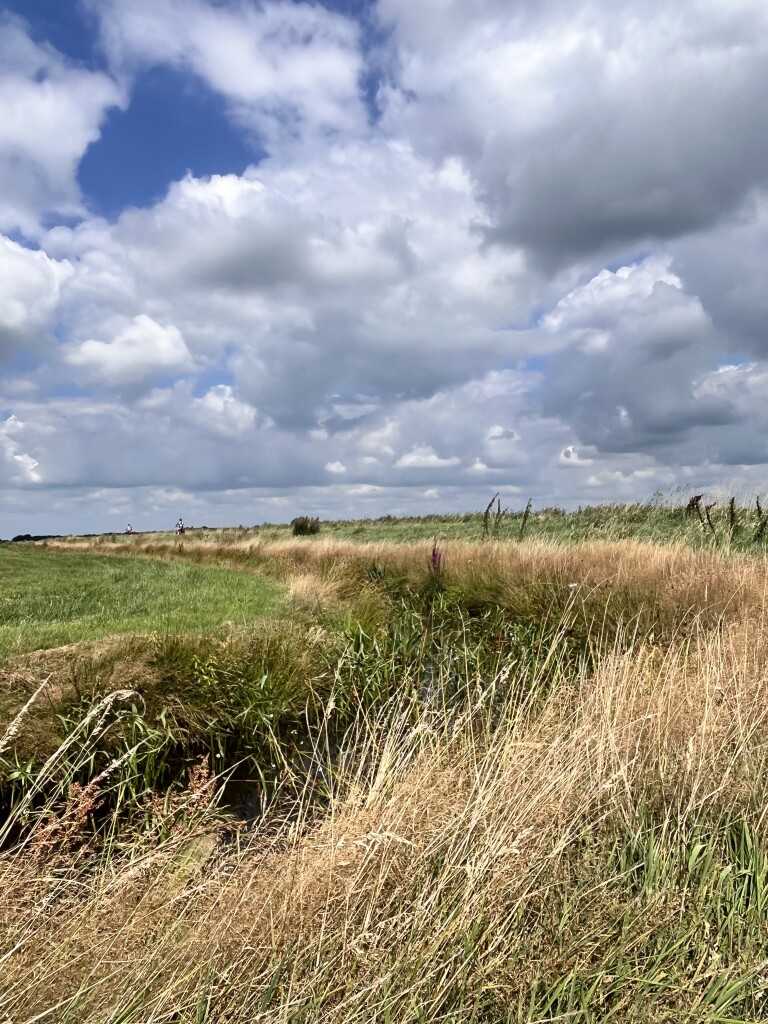
#7. Ossenzijl - Wolvega · Stellingenpad etappe 7
Spanga,Ossenzijl,Oldemarkt,Oldetrijne,Sonnega,Blesdijke,De Blesse
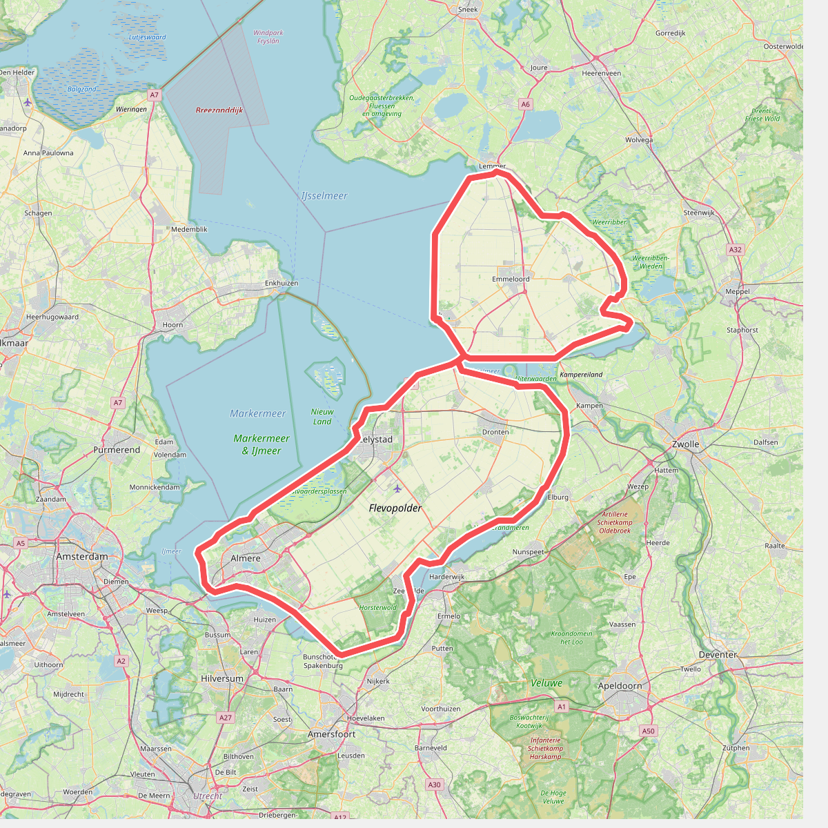
#8. Rondje Flevoland
Prachtige route langs het water
Almere,Lelystad,Dronten,Nagele,Urk,Tollebeek,Espel,Creil,Rutten,Luttelgeest,Blankenham,Blokzijl,Marknesse,Kraggenburg,Ens,Zeewolde
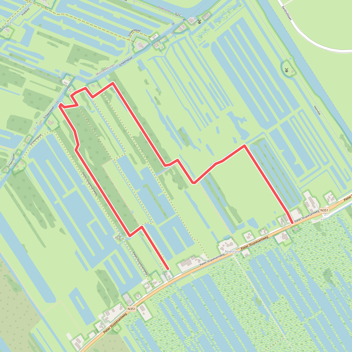
#9. Wandelroute Laarzenpad Rottige Meente
Oldetrijne,Munnekeburen
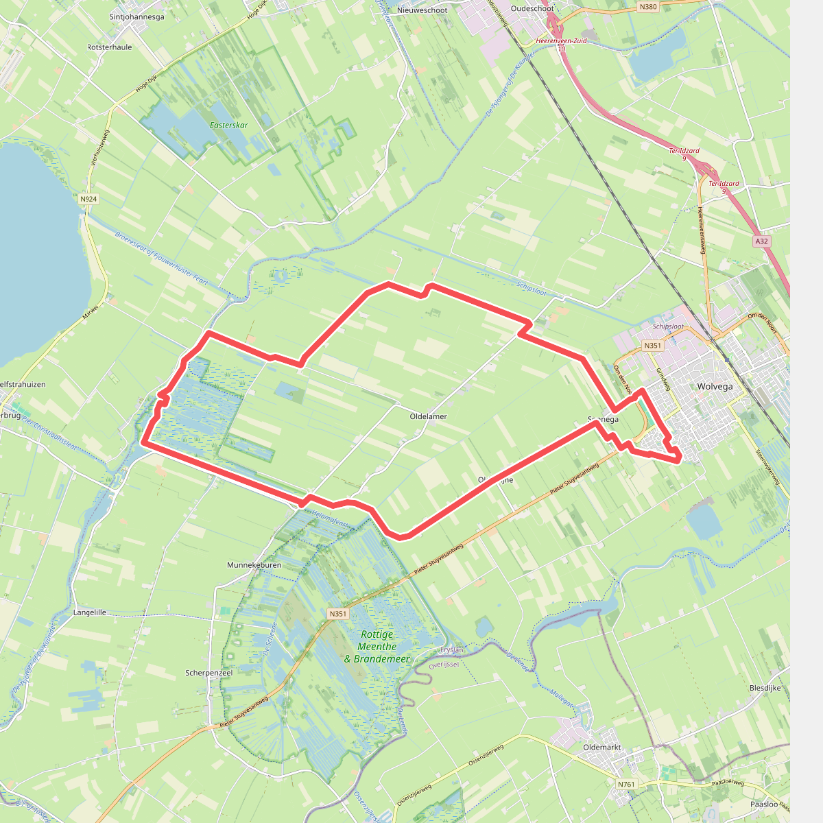
#10. Zaterdag 19 april
Wolvega,Sonnega,Nijelamer,Oldelamer,Oldetrijne




