


The best hiking routes in Rotwand
Discover the best walks in Rotwand. 17 routes on the map, with descriptions, photos and GPX.
About Rotwand
Rotwand is a prominent limestone peak in the Mangfall Mountains, characterized by its steep, reddish-grey rock faces and high-altitude meadows. Unlike the flatter forest walks in the valleys below, a hike here immediately introduces you to steep, rocky terrain where the paths are dominated by loose gravel, limestone steps, and exposed roots. The landscape is defined by its rugged karst formations, meaning water quickly drains away into the porous stone, leaving the upper slopes dry and stark compared to the lush pastures lower down.
Read more
About Rotwand
Rotwand is a prominent limestone peak in the Mangfall Mountains, characterized by its steep, reddish-grey rock faces and high-altitude meadows. Unlike the flatter forest walks in the valleys below, a hike here immediately introduces you to steep, rocky terrain where the paths are dominated by loose gravel, limestone steps, and exposed roots. The landscape is defined by its rugged karst formations, meaning water quickly drains away into the porous stone, leaving the upper slopes dry and stark compared to the lush pastures lower down.
Read moreRotwand is a prominent limestone peak in the Mangfall Mountains, characterized by its steep, reddish-grey rock faces and high-altitude meadows. Unlike the flatter forest walks in the valleys below, a hike here immediately introduces you to steep, rocky terrain where the paths are dominated by loose gravel, limestone steps, and exposed roots. The landscape is defined by its rugged karst formations, meaning water quickly drains away into the porous stone, leaving the upper slopes dry and stark compared to the lush pastures lower down.
As you ascend, the dense spruce forests thin out, giving way to dwarf pines and open alpine pastures. The underfoot conditions transition from wide, gravel-surfaced forestry tracks to narrow, winding mountain trails that require steady footing. In July, these high meadows are filled with alpine wildflowers, which thrive in the thin soil covering the limestone. The terrain is steep and continuous, offering a genuine mountain environment without the extreme glacier fields found in higher alpine ranges.
Because of its accessibility and the presence of a mountain hut near the summit, the main trails can become busy, particularly on weekends. Those seeking a quieter walk can opt for the narrower paths that loop around the Risserkopf or descend through the Pfanngraben, where the trail follows a deep gorge with natural rock pools. This area is ideal if you want a challenging climb on rocky paths, but it is not suitable for those looking for flat, easy strolls or paved walkways.
Hiking routes in Rotwand (17)

#1. Bayrischzeller Höhenweg
Bayrischzell

#2. Sparkasse - Trail - Mieseben-Runde
Bayrischzell

#3. Via Alpina Purple A52
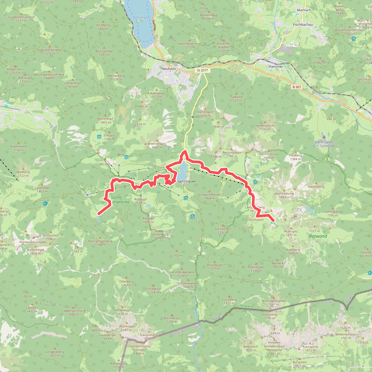
#4. Via Alpina Purple A53

#5. Wanderweg 545a - Bayrischzell
Bayrischzell

#6. Wanderweg 545b - Bayrischzell
Bayrischzell

#7. Wanderweg 641 - Spitzingsee
Bayrischzell,Fischbachau

#8. Wanderweg 642 - Spitzingsee
Bayrischzell,Schliersee,Fischbachau

#9. Wanderweg 643 - Spitzingsee
Schliersee,Fischbachau,Bayrischzell

#10. Wanderweg 647 - Valepp
Bayrischzell,Schliersee

#11. Wanderweg 647a - Rotwand
Bayrischzell,Schliersee

#12. Wanderweg 649 Forsthaus Valepp - Spitzingsee
Schliersee




