The best hiking routes in S. Alessandro
Discover the best walks in S. Alessandro. 8 routes on the map, with descriptions, photos and GPX.
Managed by Ente Regionale Nazzano Tevere Farfa
About S. Alessandro
S. Alessandro offers a quiet, low-lying walking experience along the alluvial plains of the Tiber valley. Managed by the Ente Regionale Nazzano Tevere Farfa, this protected area is characterized by its transition from damp riverside woodlands to cultivated agricultural fields. Unlike the rugged volcanic hills nearby, the terrain here is flat and gentle, shaped by the slow movements of the river and historical land reclamation. Underfoot, walkers will mostly find dirt farm tracks and grassy paths that can become soft and muddy after winter rains.
Read more
About S. Alessandro
S. Alessandro offers a quiet, low-lying walking experience along the alluvial plains of the Tiber valley. Managed by the Ente Regionale Nazzano Tevere Farfa, this protected area is characterized by its transition from damp riverside woodlands to cultivated agricultural fields. Unlike the rugged volcanic hills nearby, the terrain here is flat and gentle, shaped by the slow movements of the river and historical land reclamation. Underfoot, walkers will mostly find dirt farm tracks and grassy paths that can become soft and muddy after winter rains.
Read moreS. Alessandro offers a quiet, low-lying walking experience along the alluvial plains of the Tiber valley. Managed by the Ente Regionale Nazzano Tevere Farfa, this protected area is characterized by its transition from damp riverside woodlands to cultivated agricultural fields. Unlike the rugged volcanic hills nearby, the terrain here is flat and gentle, shaped by the slow movements of the river and historical land reclamation. Underfoot, walkers will mostly find dirt farm tracks and grassy paths that can become soft and muddy after winter rains.
The landscape is highly functional, showing a clear mix of natural riparian vegetation and active farming. Walking through the area, you will notice rows of poplars, dense reed beds along the water drainage ditches, and open fields that change crop patterns depending on the season. It is not a wilderness of deep forests or dramatic gorges, but rather a working rural landscape where drainage canals and dirt tracks dictate your route.
Because of its location within the wider river reserve, S. Alessandro is generally quieter than the main visitor hubs of Nazzano. The paths are straightforward and lack steep climbs, making them suitable for those seeking an easy, level walk. While you will not find dramatic viewpoints or extensive boardwalk networks here, the area provides a steady, unhurried look at the agricultural heart of the middle Tiber valley.
Hiking routes in S. Alessandro (8)
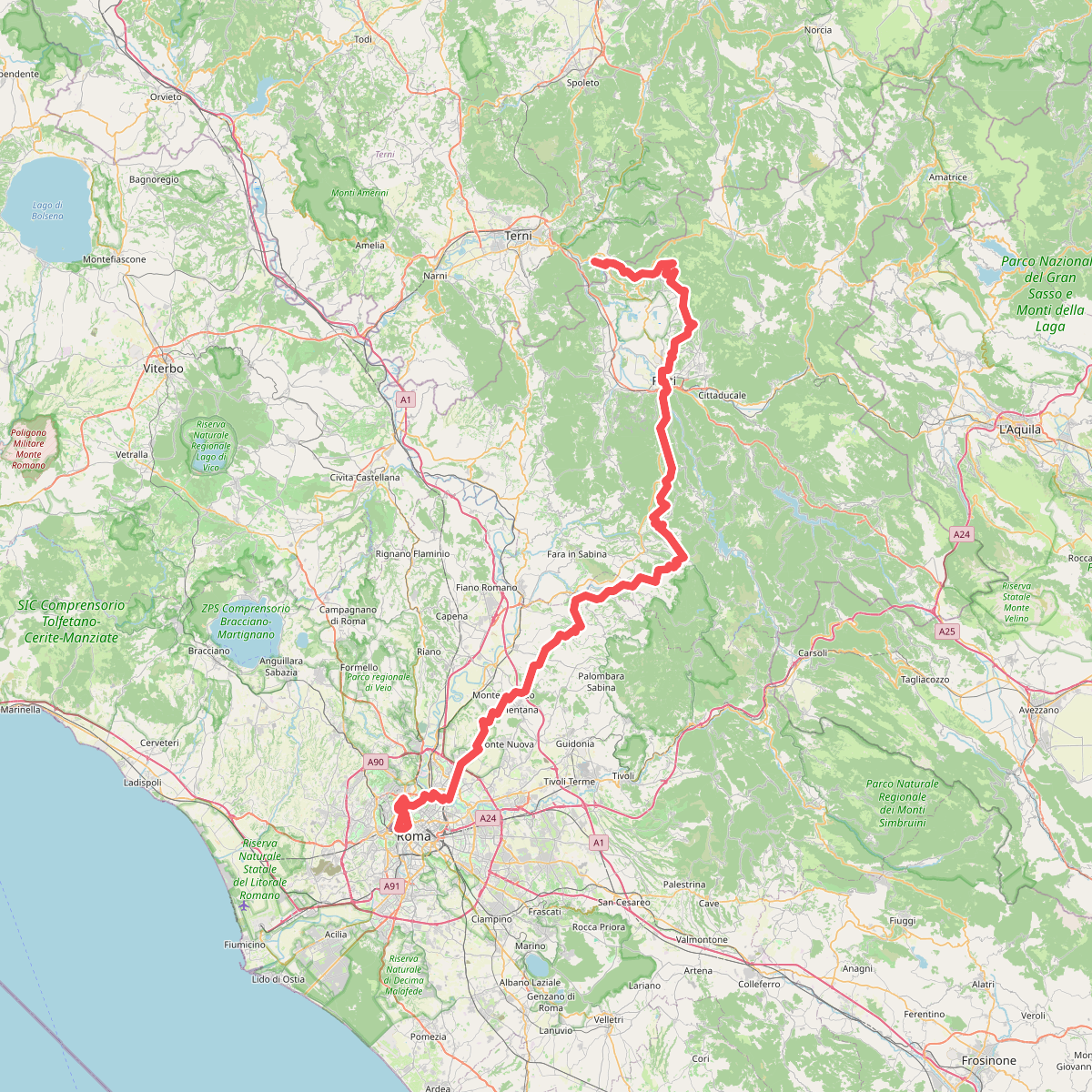
#1. Cammino di Francesco - asse principale
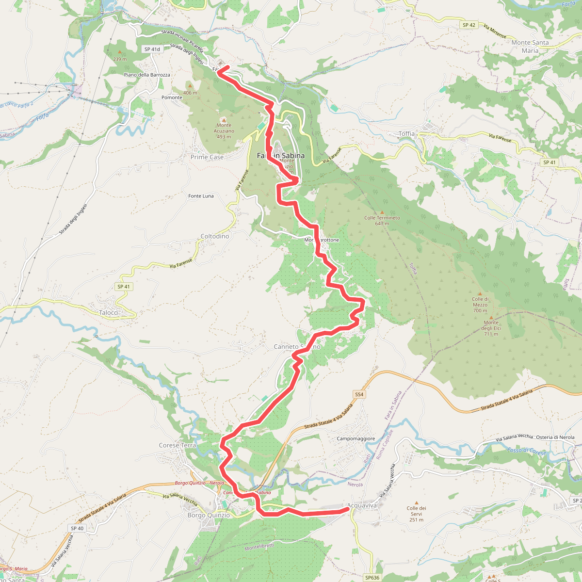
#2. Cammino di Francesco - Farfa-Acquaviva
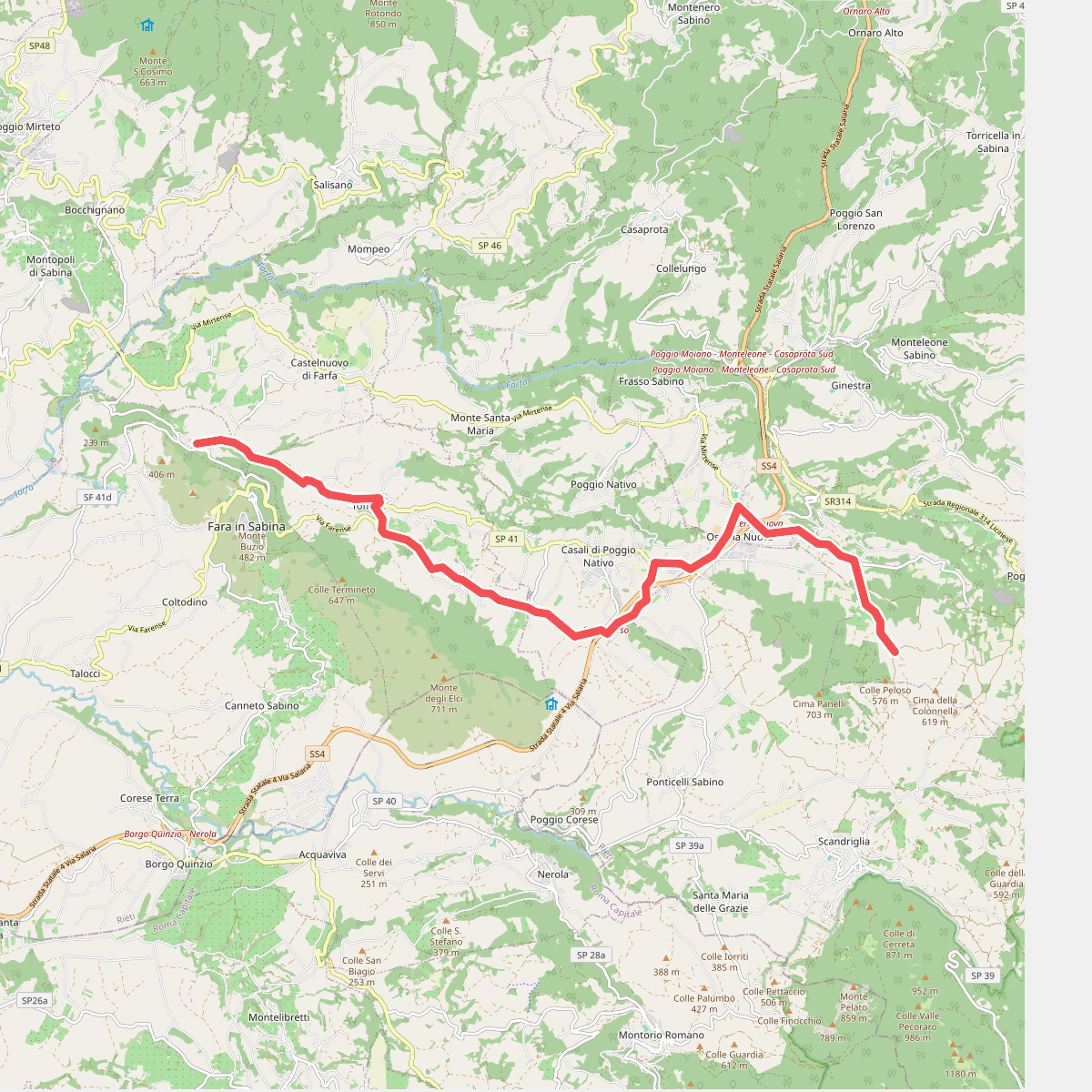
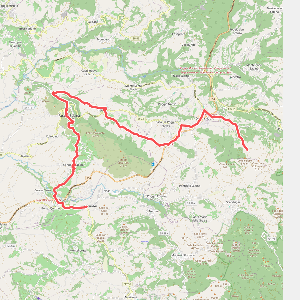
#3. Cammino di Francesco - variante Farfa
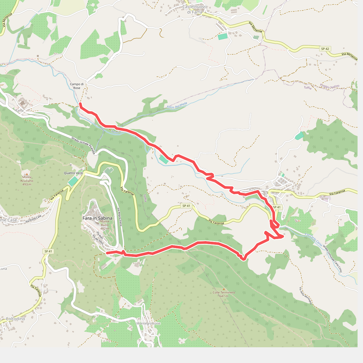
#4. Fosso Riana-Toffia-Preventorio Savoia
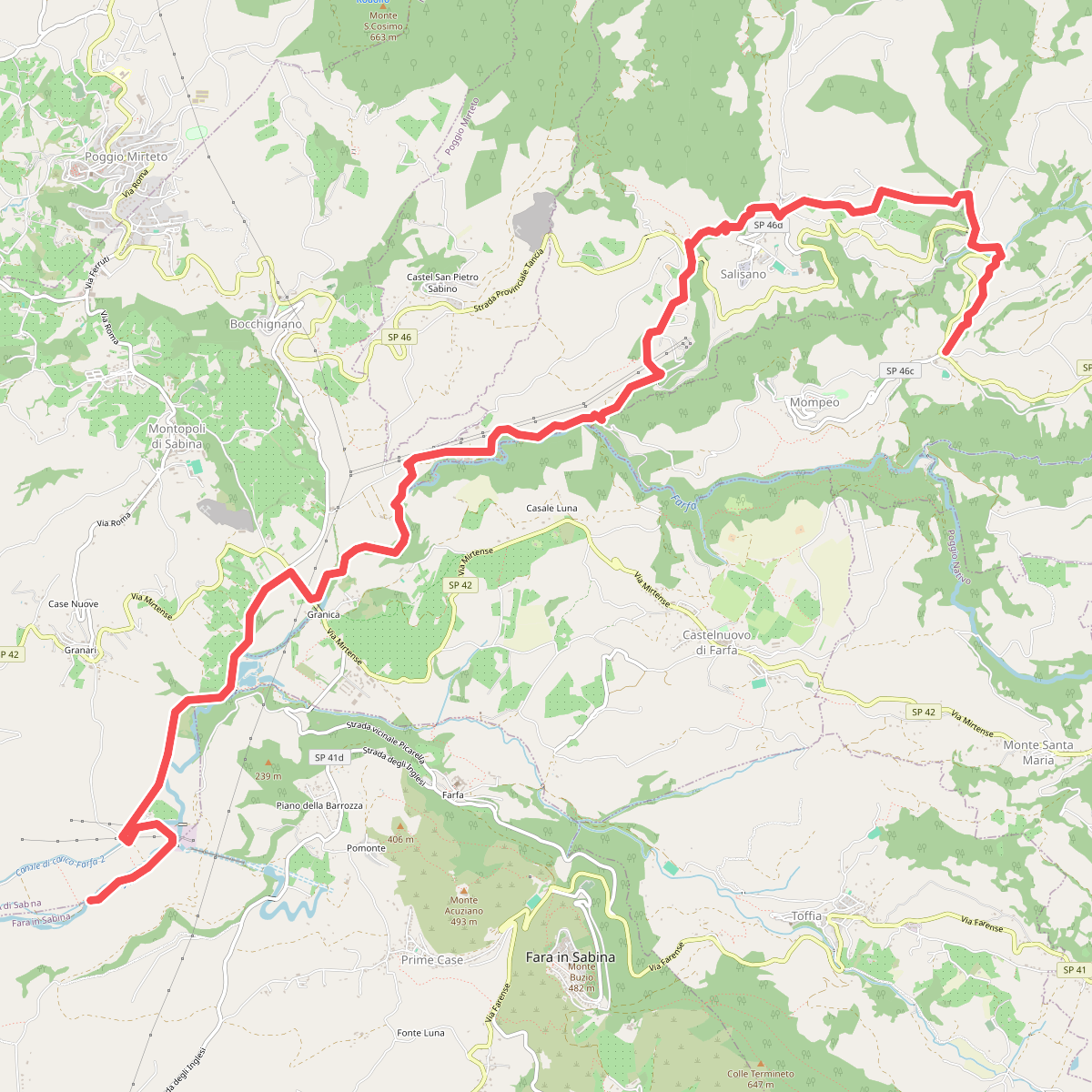
#5. Media Valle del Farfa
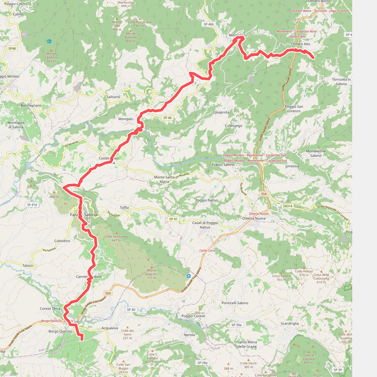
#6. Ornaro Alto - Montenero Sabino - Gole del Farfa - Castelnuovo di Farfa - Abbazia di Farfa - Fara Sabina - Sterparelle
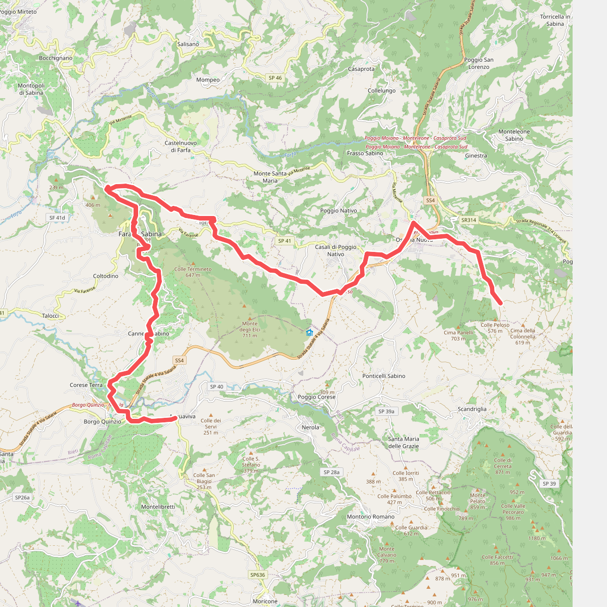
#7. Via di Francesco - Tappa 20A (deviazione per Farfa)