The best hiking routes in Serra da Lousã
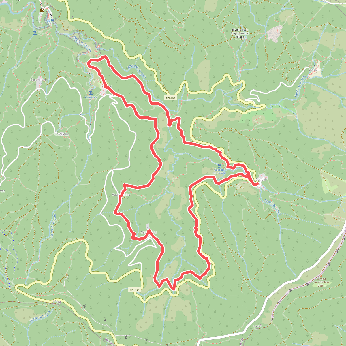
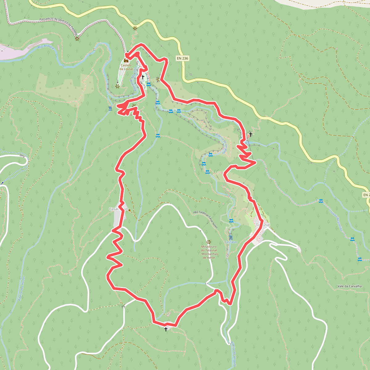
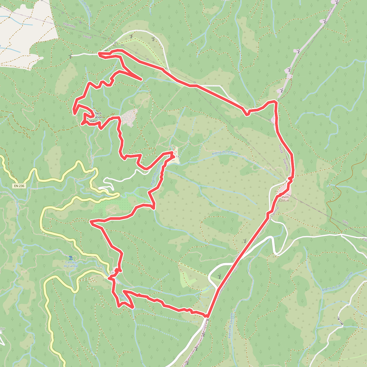
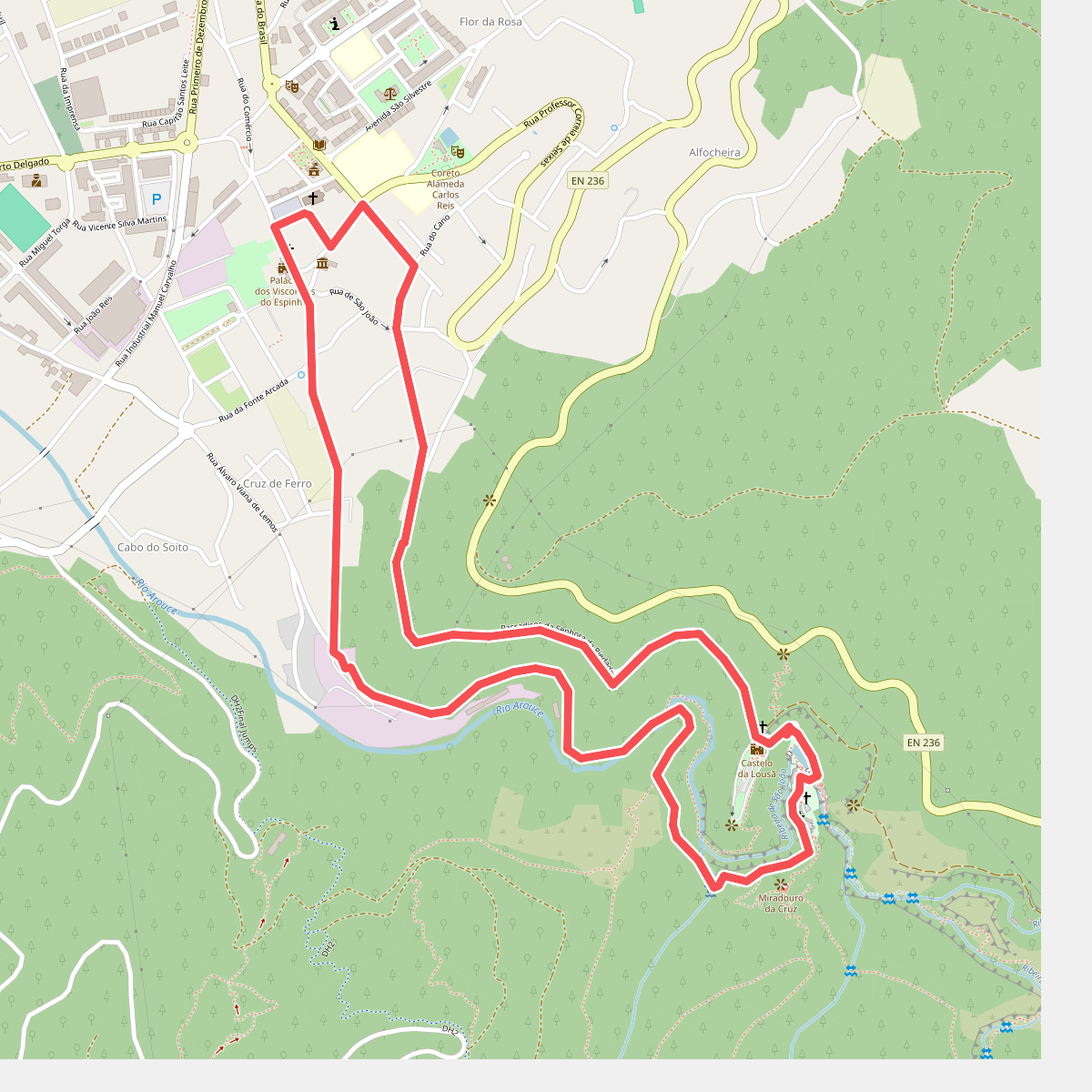
Discover the best walks in Serra da Lousã. 4 routes on the map, with descriptions, photos and GPX.
Managed by Instituto da Conservação da Natureza e das Florestas
About Serra da Lousã
Serra da Lousã is a densely forested mountain range in central Portugal, characterized by steep slopes, deep river valleys, and a network of historic schist villages. Unlike the flatter coastal plains, this area rises sharply to over one thousand meters, offering a landscape dominated by thick deciduous woods, pine plantations, and pockets of native oak. The terrain is defined by its ruggedness, where narrow, rocky paths and ancient mule tracks require careful footwork over loose stone and exposed tree roots. Walking here means navigating constant elevation changes rather than flat, open plains.
Read more
About Serra da Lousã
Serra da Lousã is a densely forested mountain range in central Portugal, characterized by steep slopes, deep river valleys, and a network of historic schist villages. Unlike the flatter coastal plains, this area rises sharply to over one thousand meters, offering a landscape dominated by thick deciduous woods, pine plantations, and pockets of native oak. The terrain is defined by its ruggedness, where narrow, rocky paths and ancient mule tracks require careful footwork over loose stone and exposed tree roots. Walking here means navigating constant elevation changes rather than flat, open plains.
Read moreSerra da Lousã is a densely forested mountain range in central Portugal, characterized by steep slopes, deep river valleys, and a network of historic schist villages. Unlike the flatter coastal plains, this area rises sharply to over one thousand meters, offering a landscape dominated by thick deciduous woods, pine plantations, and pockets of native oak. The terrain is defined by its ruggedness, where narrow, rocky paths and ancient mule tracks require careful footwork over loose stone and exposed tree roots. Walking here means navigating constant elevation changes rather than flat, open plains.
Underfoot, the trails are predominantly earthen and stony, often covered with a thick layer of leaf litter in the autumn months of October and November. The lower valleys feature damp, shaded microclimates where rushing streams run alongside stone-paved paths, while the higher ridges are exposed, with low shrub vegetation like gorse and heather growing out of the rocky soil. You will notice a stark contrast between the dark, damp valley floors and the dry, sun-exposed upper ridges where the soil is thin and acidic.
This range is not a high-alpine environment with jagged peaks or permanent snowfields, but rather a series of steep, rounded ridges. The trail network connects several preserved stone hamlets, such as Talasnal and Cerdeira, where the paths transition into narrow, slate-paved alleys. While the areas immediately surrounding these villages can be busier with day visitors, the deeper forested trails remain quiet, offering a direct experience of the region's forestry heritage and rugged topography.