The best hiking routes in SIC Calanchi Civita di Bagnoregio
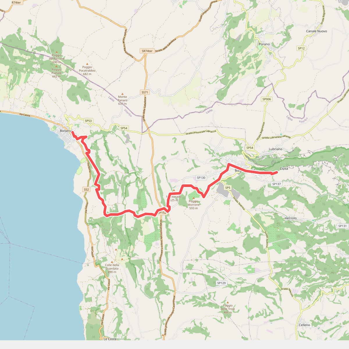
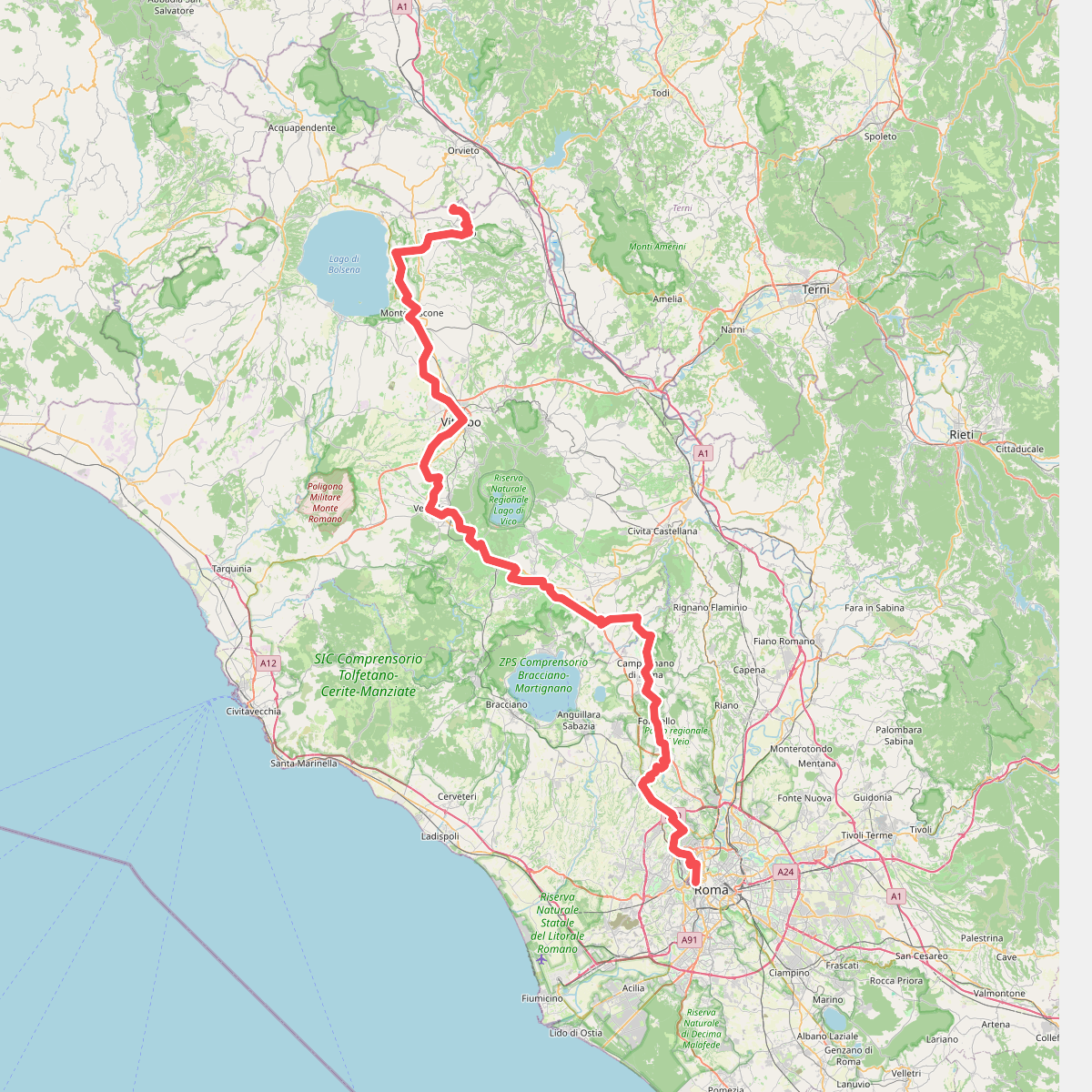
Discover the best walks in SIC Calanchi Civita di Bagnoregio. 3 routes on the map, with descriptions, photos and GPX.
About SIC Calanchi Civita di Bagnoregio
The SIC Calanchi Civita di Bagnoregio is defined by its dramatic clay erosion, where sharp, pale ridges known as calanchi drop into deep, dry ravines. Walking here means navigating a stark contrast between the exposed, crumbling clay spurs and the more stable, vegetated slopes covered in scrub and small oak patches. The landscape is highly dynamic, shaped by ongoing water runoff that carves the soft clay, meaning paths can change character quickly. Underfoot, you will mostly encounter hard-baked clay tracks that turn slick and heavy after rainfall, alongside gravelly sections in the valley bottoms.
Read more
About SIC Calanchi Civita di Bagnoregio
The SIC Calanchi Civita di Bagnoregio is defined by its dramatic clay erosion, where sharp, pale ridges known as calanchi drop into deep, dry ravines. Walking here means navigating a stark contrast between the exposed, crumbling clay spurs and the more stable, vegetated slopes covered in scrub and small oak patches. The landscape is highly dynamic, shaped by ongoing water runoff that carves the soft clay, meaning paths can change character quickly. Underfoot, you will mostly encounter hard-baked clay tracks that turn slick and heavy after rainfall, alongside gravelly sections in the valley bottoms.
Read moreThe SIC Calanchi Civita di Bagnoregio is defined by its dramatic clay erosion, where sharp, pale ridges known as calanchi drop into deep, dry ravines. Walking here means navigating a stark contrast between the exposed, crumbling clay spurs and the more stable, vegetated slopes covered in scrub and small oak patches. The landscape is highly dynamic, shaped by ongoing water runoff that carves the soft clay, meaning paths can change character quickly. Underfoot, you will mostly encounter hard-baked clay tracks that turn slick and heavy after rainfall, alongside gravelly sections in the valley bottoms.
Unlike more forested nature reserves nearby, this area offers little shade and is characterized by its open, raw geology. The main paths follow the ridges, giving direct views of the sheer drops and the isolated tufa plateau where the village of Civita sits. In the lower gullies, the vegetation changes to dense Mediterranean scrub, providing a completely different, enclosed atmosphere compared to the windy, exposed high tracks.
In late spring, particularly around May, the barren clay slopes are briefly softened by patches of wild broom and grasses, which contrast sharply with the gray and ochre earth. This is a terrain for those interested in active geomorphology and open, rugged walking, rather than deep woodland hikes or gentle pasture strolls. The terrain requires careful footing due to the steep drops and the crumbly nature of the path edges.