


The best hiking routes in Südlicher Itzgrund
Discover the best walks in Südlicher Itzgrund. 21 routes on the map, with descriptions, photos and GPX.
About Südlicher Itzgrund
Südlicher Itzgrund offers a low-lying, agricultural river valley landscape dominated by the slow-flowing Itz and its network of drainage ditches. Walkers here will find a flat terrain of wide meadows, pastures, and cultivated fields, occasionally broken by small patches of damp woodland and willow lines. This is not a place of dramatic hills or deep forests, but rather an open, working agricultural valley where the path network consists almost entirely of paved agricultural lanes and firm gravel tracks. Underfoot, you will mostly encounter hard, flat surfaces designed for farm vehicles, making it highly accessible but less suited for those seeking rugged, unpaved forest trails.
Read more
About Südlicher Itzgrund
Südlicher Itzgrund offers a low-lying, agricultural river valley landscape dominated by the slow-flowing Itz and its network of drainage ditches. Walkers here will find a flat terrain of wide meadows, pastures, and cultivated fields, occasionally broken by small patches of damp woodland and willow lines. This is not a place of dramatic hills or deep forests, but rather an open, working agricultural valley where the path network consists almost entirely of paved agricultural lanes and firm gravel tracks. Underfoot, you will mostly encounter hard, flat surfaces designed for farm vehicles, making it highly accessible but less suited for those seeking rugged, unpaved forest trails.
Read moreSüdlicher Itzgrund offers a low-lying, agricultural river valley landscape dominated by the slow-flowing Itz and its network of drainage ditches. Walkers here will find a flat terrain of wide meadows, pastures, and cultivated fields, occasionally broken by small patches of damp woodland and willow lines. This is not a place of dramatic hills or deep forests, but rather an open, working agricultural valley where the path network consists almost entirely of paved agricultural lanes and firm gravel tracks. Underfoot, you will mostly encounter hard, flat surfaces designed for farm vehicles, making it highly accessible but less suited for those seeking rugged, unpaved forest trails.
The character of the landscape is shaped by human water management, which you can read in the straight drainage channels and the embankments that line the river. In the wetter winter months, particularly around January, the low meadows often serve as natural flood retention basins, turning parts of the valley into temporary shallow lakes that attract migrating waterbirds. This seasonal flooding means some low-lying paths near the riverbanks can become waterlogged, while the slightly elevated farm tracks remain passable.
Because the area is primarily used for farming, it lacks the tourist infrastructure of more prominent nature reserves. You will not find boardwalks, visitor centers, or extensive trail signposting here. It is generally a quiet area used by local residents, offering an honest look at the rural Franconian countryside where the main appeal lies in the open views across the fields rather than pristine, untouched wilderness.
Hiking routes in Südlicher Itzgrund (21)
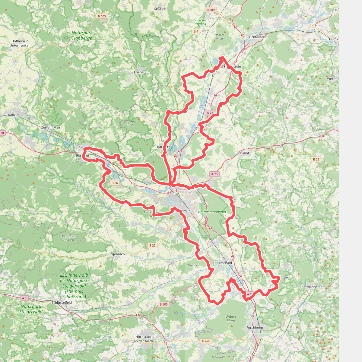
#1. 7-Flüsse-Wanderweg
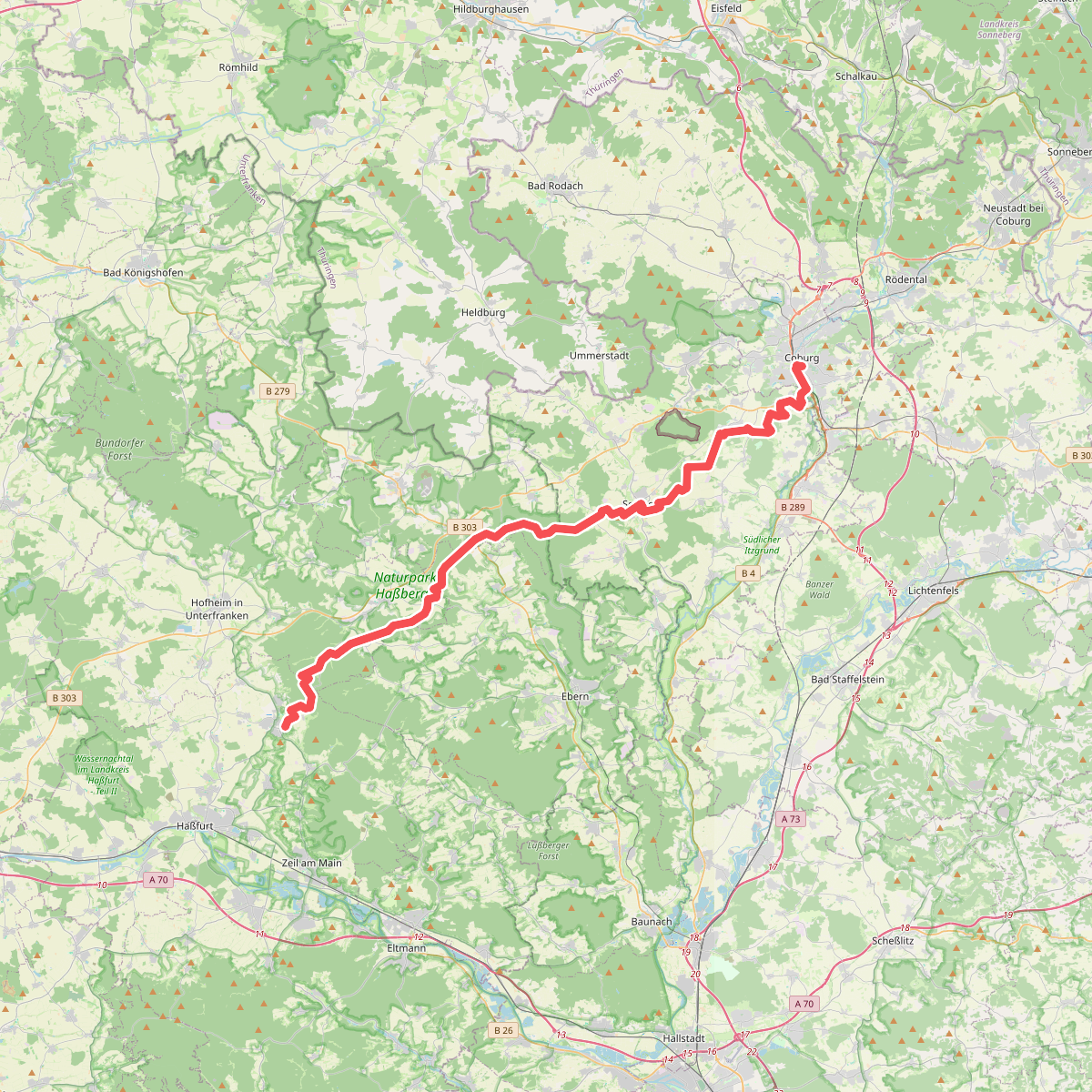
#2. Amtsbotenweg
Coburg,Ahorn,Seßlach,Großheirath,Maroldsweisach,Pfarrweisach,Burgpreppach,Ebern,Königsberg in Bayern

#3. Coburger Rundwanderweg
Coburg,Grub a.Forst,Niederfüllbach,Ahorn,Rödental,Dörfles-Esbach

#4. Europäischer Fernwanderweg E3, Bayern (West)

#5. Europäischer Fernwanderweg E6, Deutschland, Frankenwald
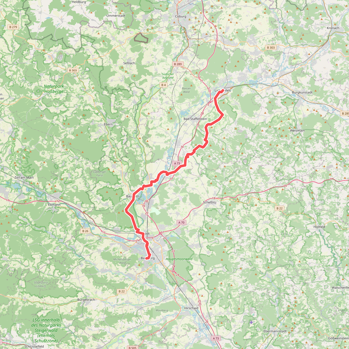
#6. Fränkischer Jakobsweg Lichtenfels-Bamberg

#7. Freiberger Panoramaweg
Untermerzbach,Ebensfeld,Bad Staffelstein,Großheirath

#8. Jakobsweg Coburg-Lichtenfels

#9. Lauftour UMB1
Untermerzbach

#10. Lauftour UMB1
Untermerzbach

#11. Mainweg Teil 3
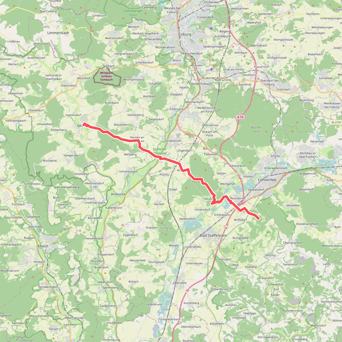
#12. Pilgerweg Seßlach-Vierzehnheilligen
Seßlach,Großheirath,Bad Staffelstein,Lichtenfels




