


The best hiking routes in Surrey Hills National Landscape
Discover the best walks in Surrey Hills National Landscape. 2 routes on the map, with descriptions, photos and GPX.
About Surrey Hills National Landscape
The Surrey Hills National Landscape is defined by a steep chalk escarpment running east to west, bordered by a parallel belt of greensand hills. Walkers will notice a sharp contrast underfoot depending on their choice of path. The North Downs ridge offers firm, alkaline chalk paths through open downland and yew woodlands, while the greensand ridge to the south features soft, sandy tracks winding through acidic pine forests and open heathland. This is a gently rolling landscape of sunken lanes and wooded valleys rather than rugged peaks.
Read more
About Surrey Hills National Landscape
The Surrey Hills National Landscape is defined by a steep chalk escarpment running east to west, bordered by a parallel belt of greensand hills. Walkers will notice a sharp contrast underfoot depending on their choice of path. The North Downs ridge offers firm, alkaline chalk paths through open downland and yew woodlands, while the greensand ridge to the south features soft, sandy tracks winding through acidic pine forests and open heathland. This is a gently rolling landscape of sunken lanes and wooded valleys rather than rugged peaks.
Read moreThe Surrey Hills National Landscape is defined by a steep chalk escarpment running east to west, bordered by a parallel belt of greensand hills. Walkers will notice a sharp contrast underfoot depending on their choice of path. The North Downs ridge offers firm, alkaline chalk paths through open downland and yew woodlands, while the greensand ridge to the south features soft, sandy tracks winding through acidic pine forests and open heathland. This is a gently rolling landscape of sunken lanes and wooded valleys rather than rugged peaks.
Because of the underlying geology, the vegetation changes abruptly. On the chalk slopes, you will walk past short, herb-rich turf that attracts butterflies in July, while the sandy soils support vast expanses of purple heather and bilberry. Water behaves differently across the area; the chalk downs are dry and porous, with few streams, whereas the greensand valleys feature damp clay patches and small springs.
Popular viewpoints like Box Hill and Leith Hill can be busy, but the extensive network of public footpaths and bridleways allows for quieter walking in the deeper woodland valleys. The terrain is accessible but requires some climbing on the steep scarp slopes, where exposed tree roots and loose flint often cover the paths.
Hiking routes in Surrey Hills National Landscape (2)
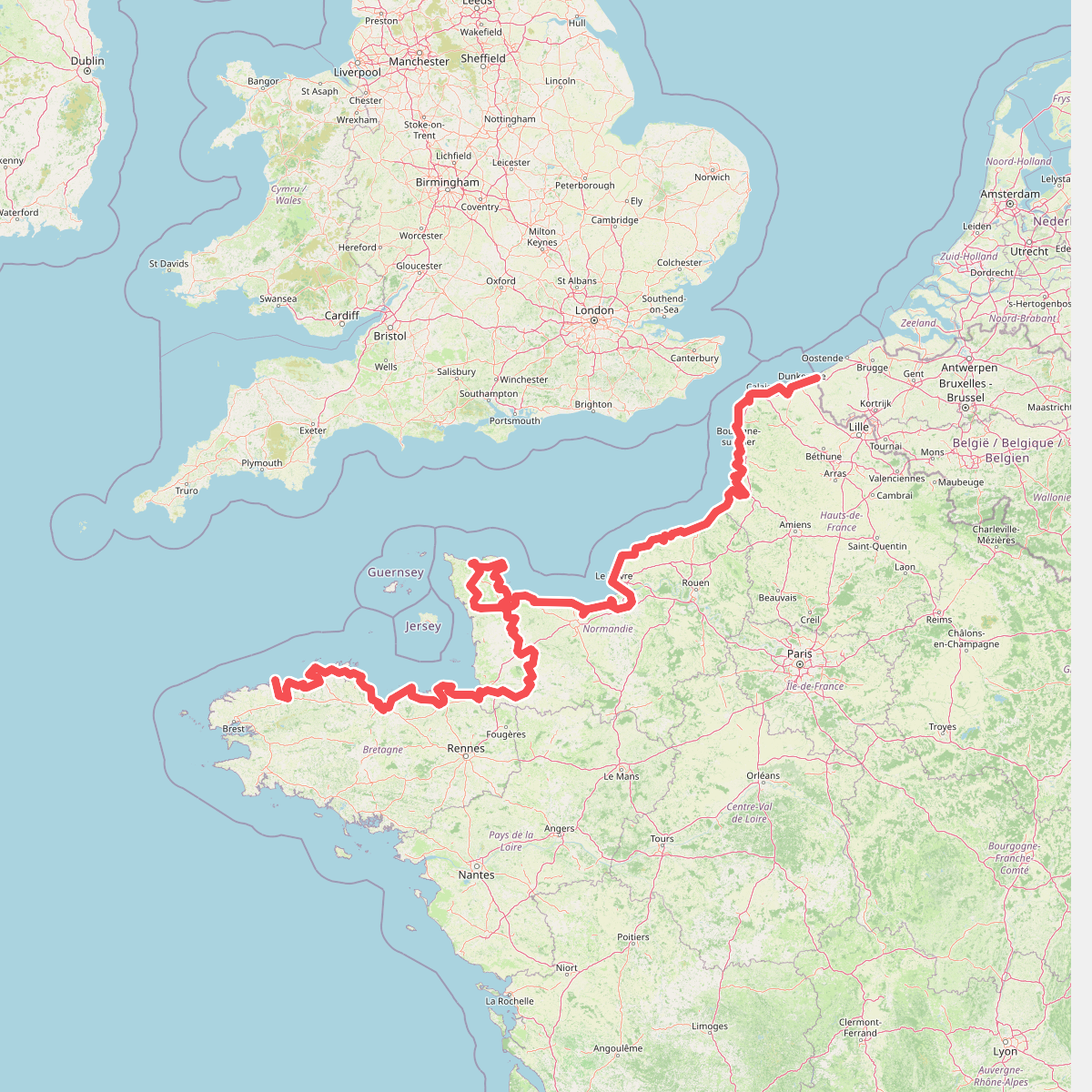
#1. Eurovelo 4
Roscoff,Saint-Pol-de-Léon,Plouénan,Taulé,Saint-Martin-des-Champs,Morlaix,Plouezoc'h,Plougasnou,Saint-Jean-du-Doigt,Guimaëc,Locquirec,Plestin-les-Grèves,Saint-Michel-en-Grève,Ploumilliau,Ploubezre,Lannion,Trébeurden,Pleumeur-Bodou,Trégastel,Perros-Guirec,Louannec,Camlez,Penvénan,Plouguiel,Trédarzec,Pleumeur-Gautier,Lézardrieux,Paimpol,Plouézec,Plouha,Tréveneuc,Binic-Étables-sur-Mer,Pordic,Plérin,Saint-Brieuc,Langueux,Hillion,Lamballe-Armor,Pléneuf-Val-André,Erquy,Fréhel,Plévenon,Pléboulle,Matignon,Saint-Cast-le-Guildo,Beaussais-sur-Mer,Tréméreuc,Plouër-sur-Rance,Saint-Suliac,Saint-Père-Marc-en-Poulet,Saint-Malo,Saint-Coulomb,Cancale,Saint-Méloir-des-Ondes,Hirel,Cherrueix,France métropolitaine,Roz-sur-Couesnon,Pontorson,Courtils,Céaux,Poilley,Ducey-les-Chéris,Isigny-le-Buat,Grandparigny,Romagny Fontenay,Saint-Clément-Rancoudray,Sourdeval,Vire Normandie,Souleuvre-en-Bocage,Pont-Bellanger,Tessy-Bocage,Fourneaux,Condé-sur-Vire,Bourgvallées,Saint-Lô,Agneaux,Pont-Hébert,Airel





