


The best hiking routes in Uiterwaarden Zwarte Water en Vecht
Discover the best walks in Uiterwaarden Zwarte Water en Vecht. 30 routes on the map, with descriptions, photos and GPX.
Managed by Staatsbosbeheer;Landschap Overijssel;Domeinen;Rijkswaterstaat;Natuurmonumenten;particulieren
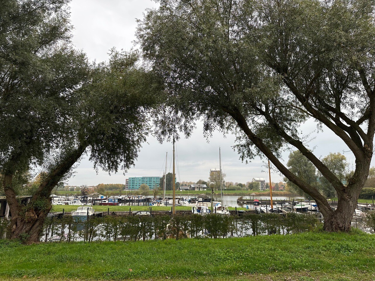


About Uiterwaarden Zwarte Water en Vecht
The Uiterwaarden Zwarte Water en Vecht is a riverine landscape shaped entirely by the seasonal rise and fall of the water levels. Unlike the high sandy forests of the nearby Veluwe, this reserve consists of low-lying clay plains, reed beds, and wet grasslands that line the banks of the Zwarte Water and Vecht rivers. The terrain is flat and open, defined by dikes, drainage ditches, and small patches of alluvial woodland rather than rolling hills or deep forests.
Read more
About Uiterwaarden Zwarte Water en Vecht
The Uiterwaarden Zwarte Water en Vecht is a riverine landscape shaped entirely by the seasonal rise and fall of the water levels. Unlike the high sandy forests of the nearby Veluwe, this reserve consists of low-lying clay plains, reed beds, and wet grasslands that line the banks of the Zwarte Water and Vecht rivers. The terrain is flat and open, defined by dikes, drainage ditches, and small patches of alluvial woodland rather than rolling hills or deep forests.
Read moreThe Uiterwaarden Zwarte Water en Vecht is a riverine landscape shaped entirely by the seasonal rise and fall of the water levels. Unlike the high sandy forests of the nearby Veluwe, this reserve consists of low-lying clay plains, reed beds, and wet grasslands that line the banks of the Zwarte Water and Vecht rivers. The terrain is flat and open, defined by dikes, drainage ditches, and small patches of alluvial woodland rather than rolling hills or deep forests.
Underfoot, walkers will encounter a mix of paved dike roads, grassy paths, and muddy tracks through the floodplains. Because these areas function as natural water storage, many of the unpaved paths can be soft and waterlogged, requiring sturdy footwear. The landscape is highly functional, showing clear signs of river management, with summer dikes keeping the lower pastures dry for cattle grazing while the wider winter dikes protect the surrounding villages.
In late spring, particularly in May, the grasslands of the Hasselerwaard and other river bends turn white with the blooms of the rare snake's head fritillary, a sight specific to these clay soils. This is a working agricultural and natural landscape where you will walk alongside grazing cows and sheep. It offers a straightforward, quiet river walk, but it lacks the shelter of dense woodland or the dry, sandy tracks found further inland.
Hiking routes in Uiterwaarden Zwarte Water en Vecht (30)


#1. Zwolle (station 150m) - Kampen station · Hanzestedenpad etappe 7
Kampen,IJsselmuiden,Wilsum,Kamperveen,'s-Heerenbroek,Zwolle,Hattem


#2. Dagwandeling (Zwolle - Hasselt) · Hanzestedenpad etappe 16
Hasselt,Zwolle,Hattem


#3. Hasselt - Vollenhove · Christoffelpad etappe 1
Vollenhove,Sint Jansklooster,Zwartsluis,Rouveen,Hasselt


#4. Station Zwolle - Lichtmis · Westerborkpad etappe 20
Zwolle,Dalfsen,Nieuwleusen


#5. Zwolle - Dalfsen · Vechtdalpad etappe 1
Zwolle,Dalfsen

#6. De Olde Maten - Paars
Hasselt,Rouveen,Zwartsluis


#7. Vollenhove - Hasselt · Christoffelpad etappe 2
Hasselt,Zwartsluis,Genemuiden,Vollenhove,Sint Jansklooster,Kraggenburg,Marknesse

#8. Agnietenberg - Geel
Zwolle

#9. Agnietenberg - Groen
Zwolle

#10. Agnietenberg - Paars
Zwolle

#11. De Olde Maten - Geel
Hasselt,Rouveen,Zwartsluis

#12. Genemuiden - Blauw
Genemuiden,Zwartsluis




