The best hiking routes in Untere Amper
Discover the best walks in Untere Amper. 2 routes on the map, with descriptions, photos and GPX.
About Untere Amper
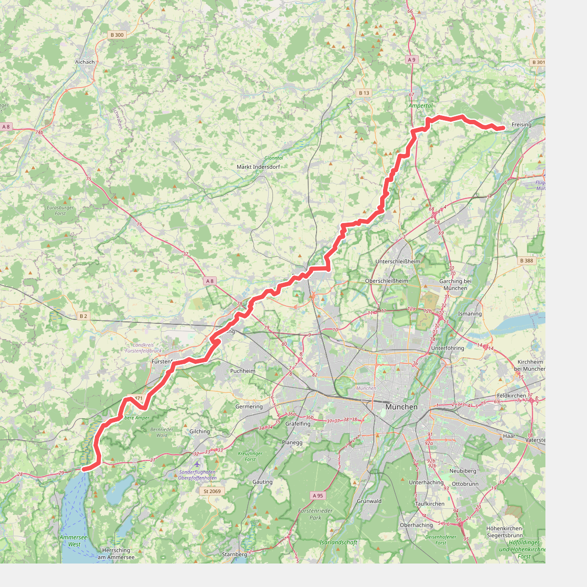
The Untere Amper valley offers a walking landscape shaped by a slow-moving river and its managed floodplain. Unlike the steeper, gravel-heavy alpine rivers further south, this stretch of the Amper winds through a wide, flat valley floor dominated by damp alluvial meadows, drainage ditches, and patches of riparian woodland. Walkers will notice a distinct contrast between the open, agricultural fields that line the wider valley and the dense, shaded corridors of willows and alders that hug the immediate riverbanks.
Read more
About Untere Amper
The Untere Amper valley offers a walking landscape shaped by a slow-moving river and its managed floodplain. Unlike the steeper, gravel-heavy alpine rivers further south, this stretch of the Amper winds through a wide, flat valley floor dominated by damp alluvial meadows, drainage ditches, and patches of riparian woodland. Walkers will notice a distinct contrast between the open, agricultural fields that line the wider valley and the dense, shaded corridors of willows and alders that hug the immediate riverbanks.
Read moreThe Untere Amper valley offers a walking landscape shaped by a slow-moving river and its managed floodplain. Unlike the steeper, gravel-heavy alpine rivers further south, this stretch of the Amper winds through a wide, flat valley floor dominated by damp alluvial meadows, drainage ditches, and patches of riparian woodland. Walkers will notice a distinct contrast between the open, agricultural fields that line the wider valley and the dense, shaded corridors of willows and alders that hug the immediate riverbanks.
Underfoot, the terrain consists mostly of unpaved agricultural tracks, grassy dyke paths, and occasional gravel lanes. There are no boardwalks or rugged forest trails here; the walking is flat and straightforward, following the gentle curves of the river. In late spring, particularly around May, the meadows are marked by tall grasses and blooming wildflowers, while the river itself is often thick with reeds and floating vegetation that restrict direct water access to specific clearing points.
This area is best suited for those seeking quiet, level walking rather than dramatic topography or deep forest isolation. While the main paths near the towns can be busier with local walkers and cyclists, the stretches between the villages remain peaceful. The landscape is defined by its working character, where modern flood protection measures and farming exist alongside quiet river bends.