


The best hiking routes in Vecht- en Beneden-Reggegebied
Discover the best walks in Vecht- en Beneden-Reggegebied. 111 routes on the map, with descriptions, photos and GPX.
Managed by Natuurmonumenten;Overijssels Landschap;Staatsbosbeheer


About Vecht- en Beneden-Reggegebied
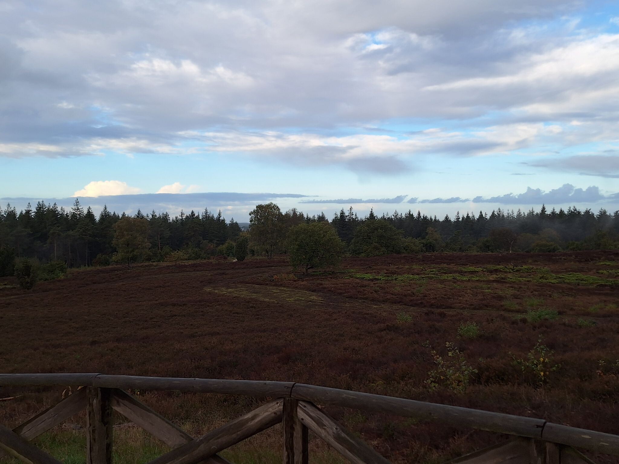
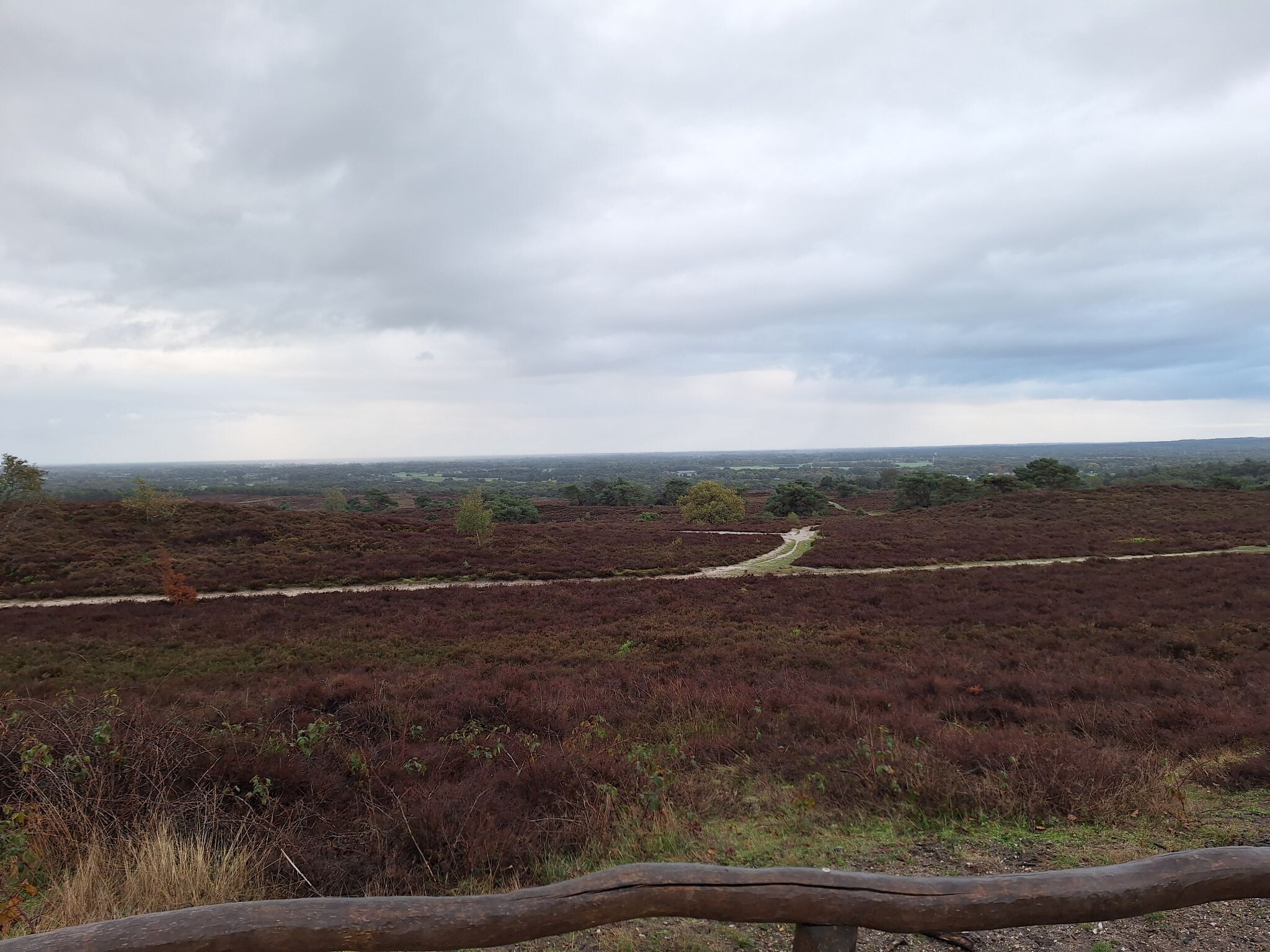
The Vecht- en Beneden-Reggegebied is a river valley landscape in Overijssel where the Overijsselse Vecht and the Regge rivers meet. Unlike the dry, elevated pine forests of the nearby Sallandse Heuvelrug, this area is defined by its low-lying river plains, marshy grasslands, and active floodplain restoration. Walkers will find a distinct transition from the damp, clay-heavy soils along the waterbanks to the dry, shifting sand dunes of the Sahara forest near Ommen.
Read more
About Vecht- en Beneden-Reggegebied
The Vecht- en Beneden-Reggegebied is a river valley landscape in Overijssel where the Overijsselse Vecht and the Regge rivers meet. Unlike the dry, elevated pine forests of the nearby Sallandse Heuvelrug, this area is defined by its low-lying river plains, marshy grasslands, and active floodplain restoration. Walkers will find a distinct transition from the damp, clay-heavy soils along the waterbanks to the dry, shifting sand dunes of the Sahara forest near Ommen.
Read moreThe Vecht- en Beneden-Reggegebied is a river valley landscape in Overijssel where the Overijsselse Vecht and the Regge rivers meet. Unlike the dry, elevated pine forests of the nearby Sallandse Heuvelrug, this area is defined by its low-lying river plains, marshy grasslands, and active floodplain restoration. Walkers will find a distinct transition from the damp, clay-heavy soils along the waterbanks to the dry, shifting sand dunes of the Sahara forest near Ommen.
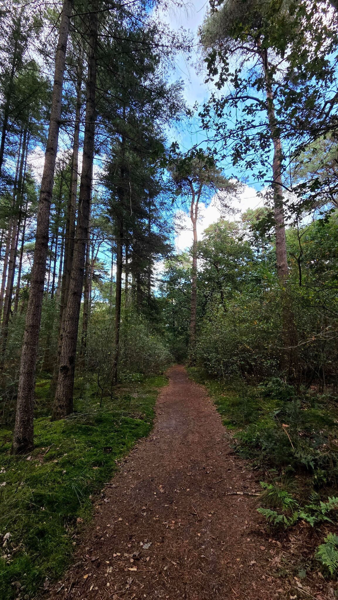
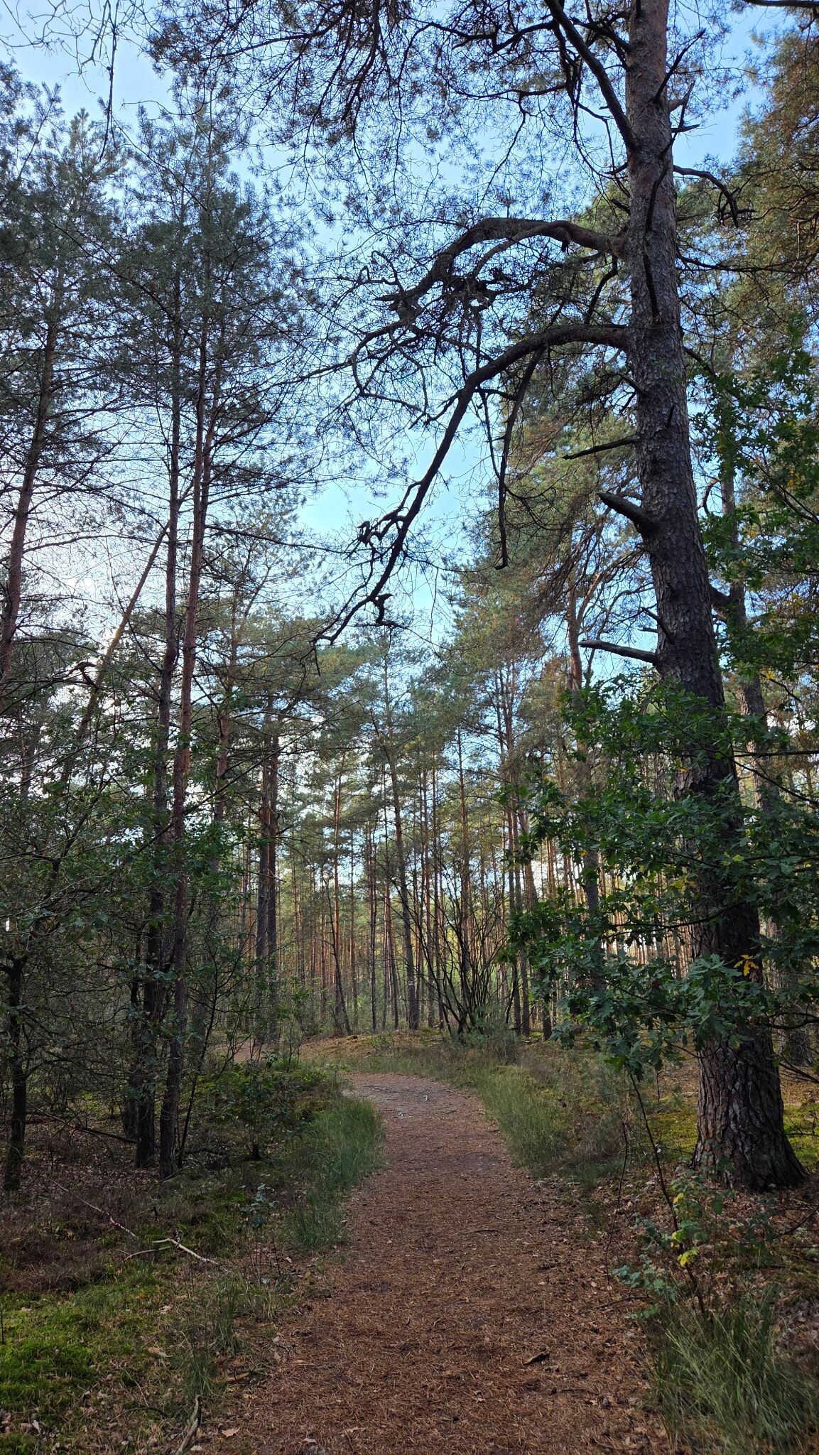
Underfoot, the terrain varies significantly depending on your choice of path. The lower routes near the riverbanks consist of grassy dikes and unpaved clay tracks that can feel soft, while the higher forested sections offer firm sandy paths and pine needle carpets. Several sections feature wooden boardwalks to help cross the wettest marshy depressions, particularly where old river bends have been reconnected to the main stream to allow natural flooding.
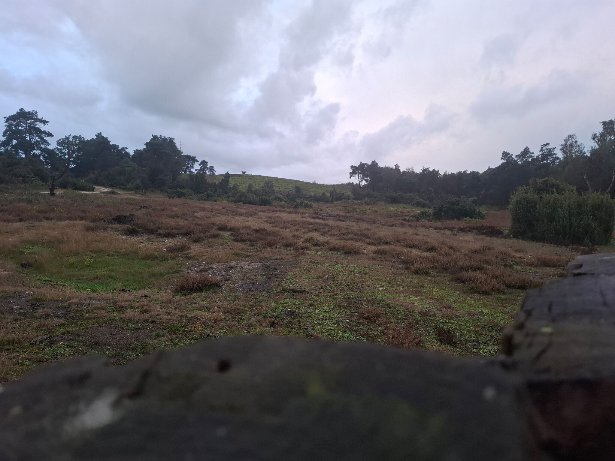
This area does not offer dramatic elevation changes or deep valleys; the landscape is mostly flat with gentle, low river dunes. It is a working natural drainage system where you can clearly see how the rivers have been given room to bend and overflow again. While the central paths near Ommen and the main activity hubs are popular with local walkers, the quieter stretches along the lower Regge offer a more solitary experience among grazing cattle and wet meadows.
Hiking routes in Vecht- en Beneden-Reggegebied (111)
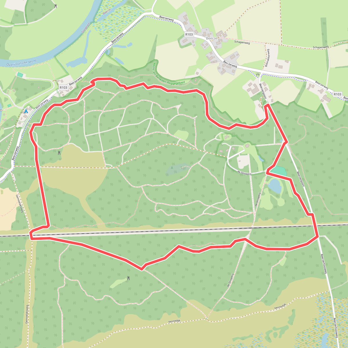
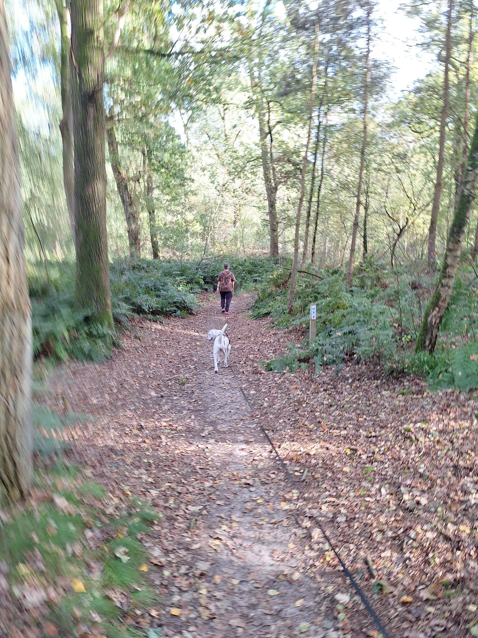
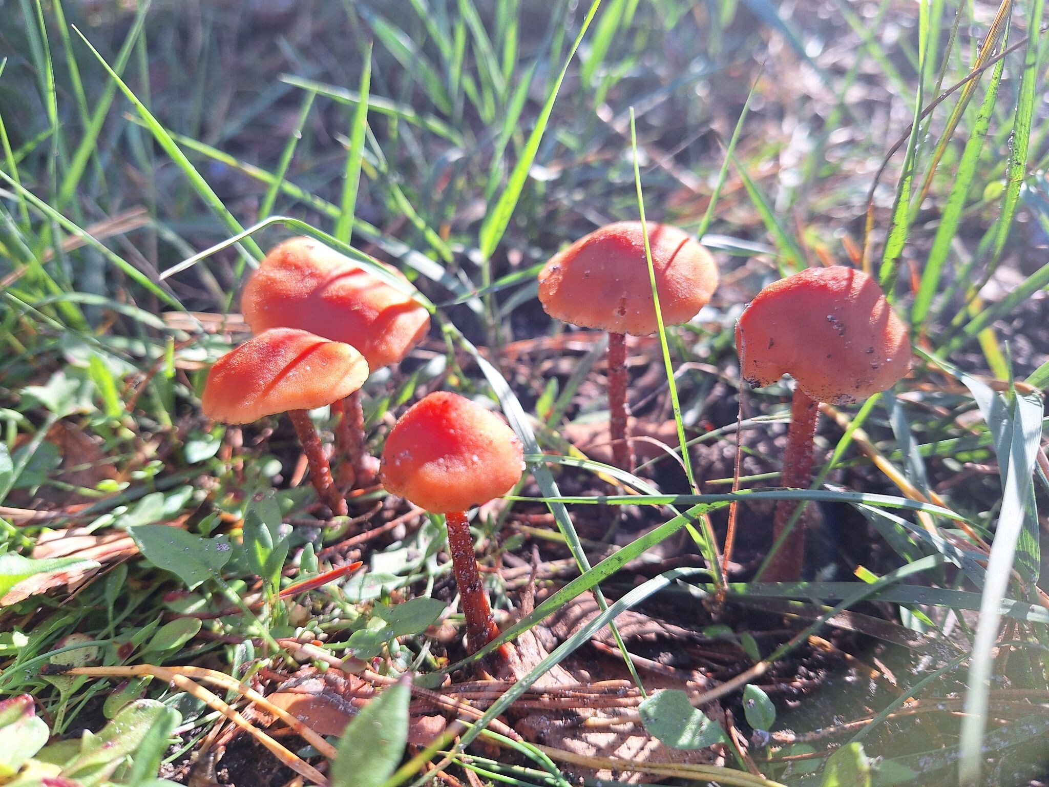
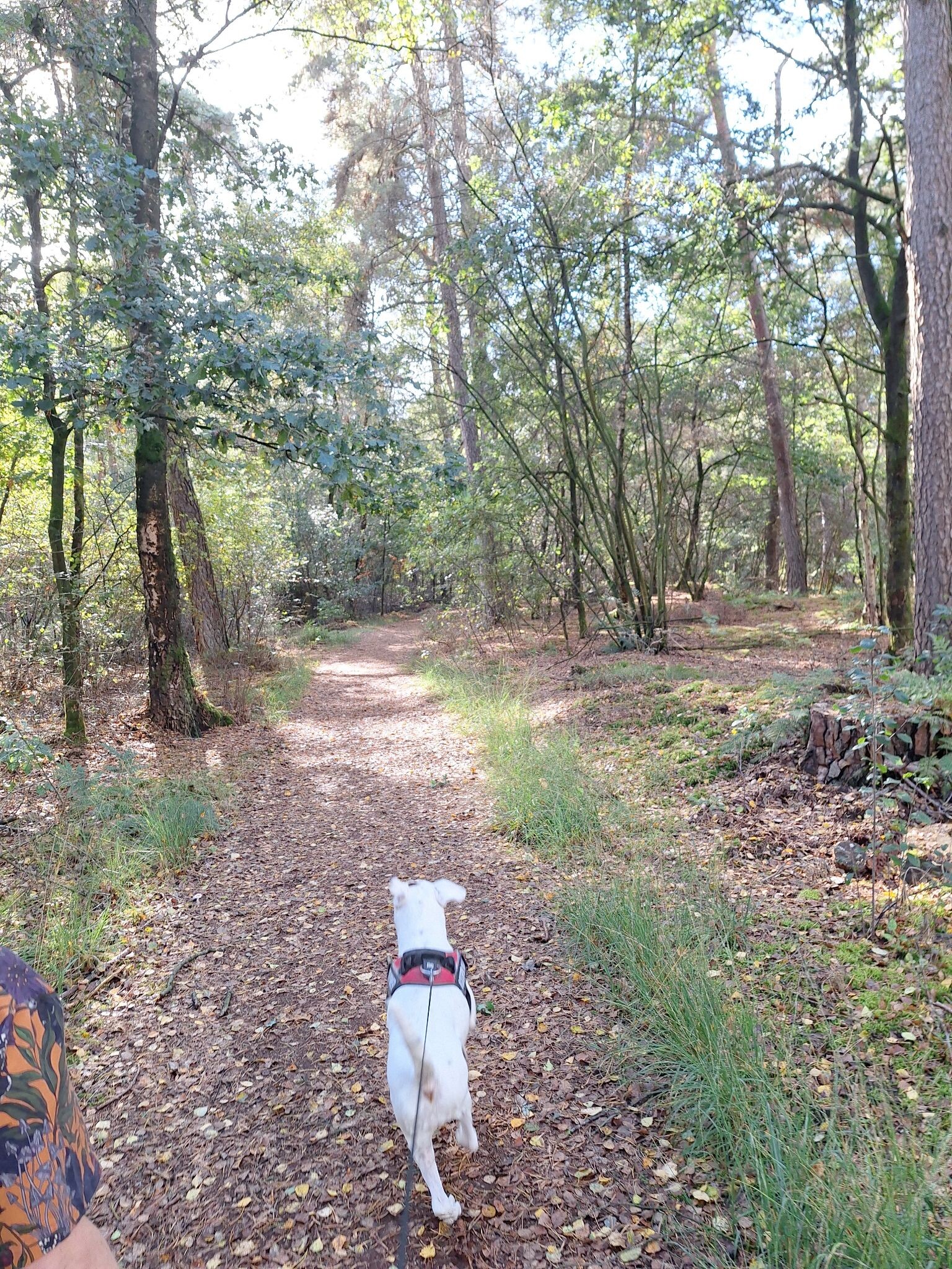
#1. Beerzerpoort - Blauw
Beerze

#2. Giethmen - Blauw
Ommen,Lemele,Dalmsholte


#3. Marienberg - Rood
Beerzerveld,Mariënberg,Beerze,Diffelen,Bergentheim
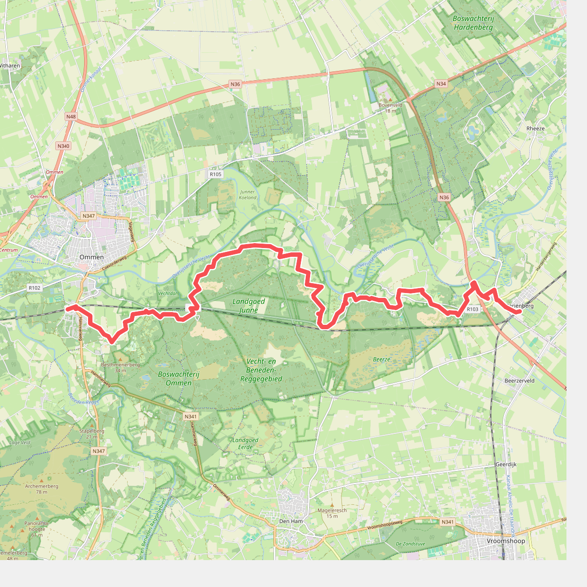
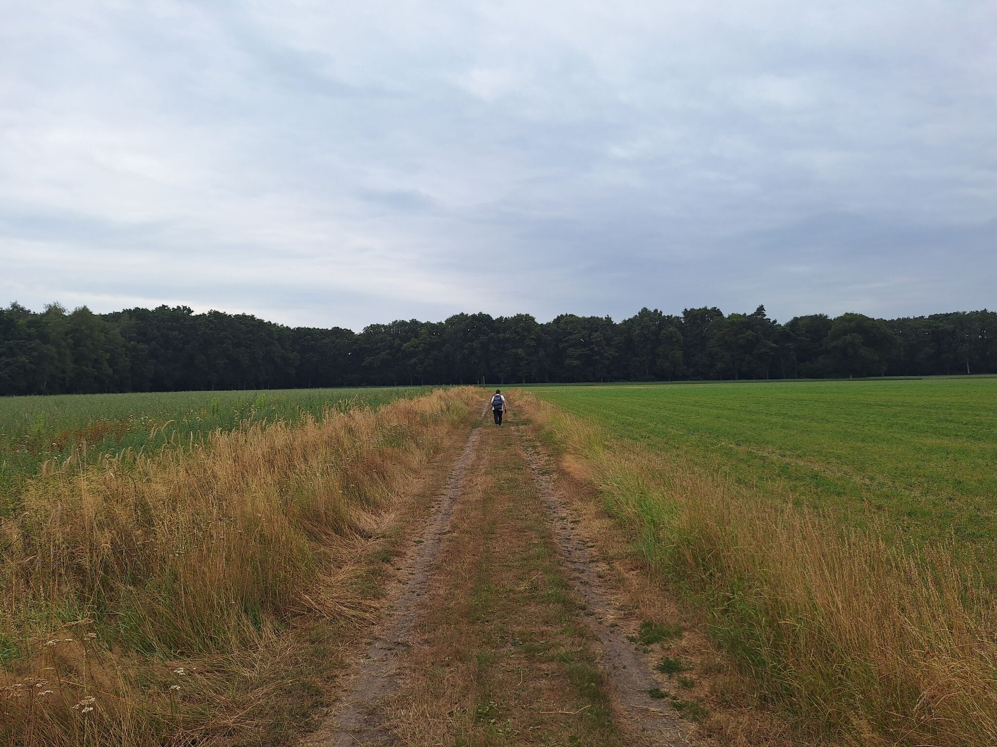
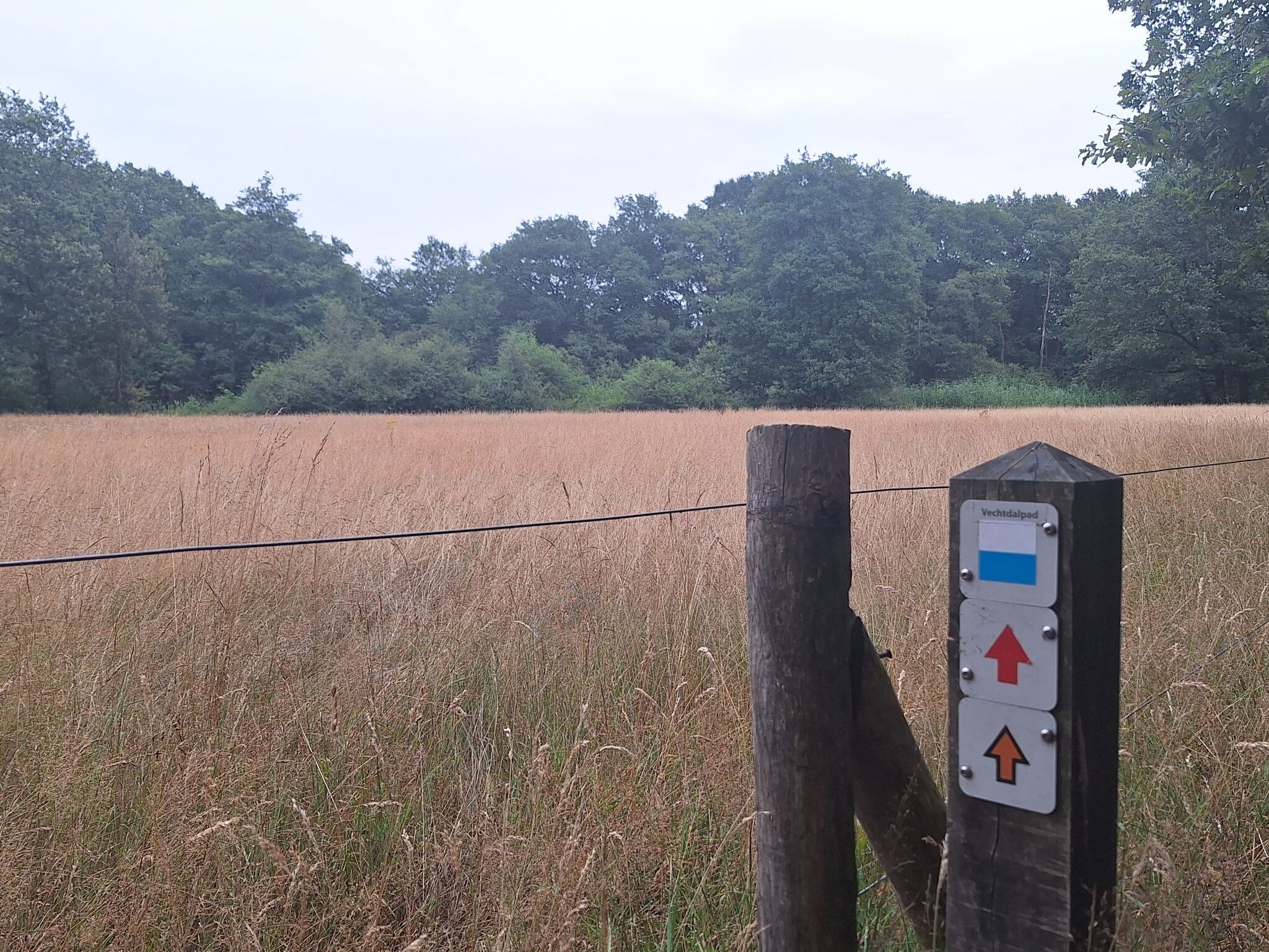
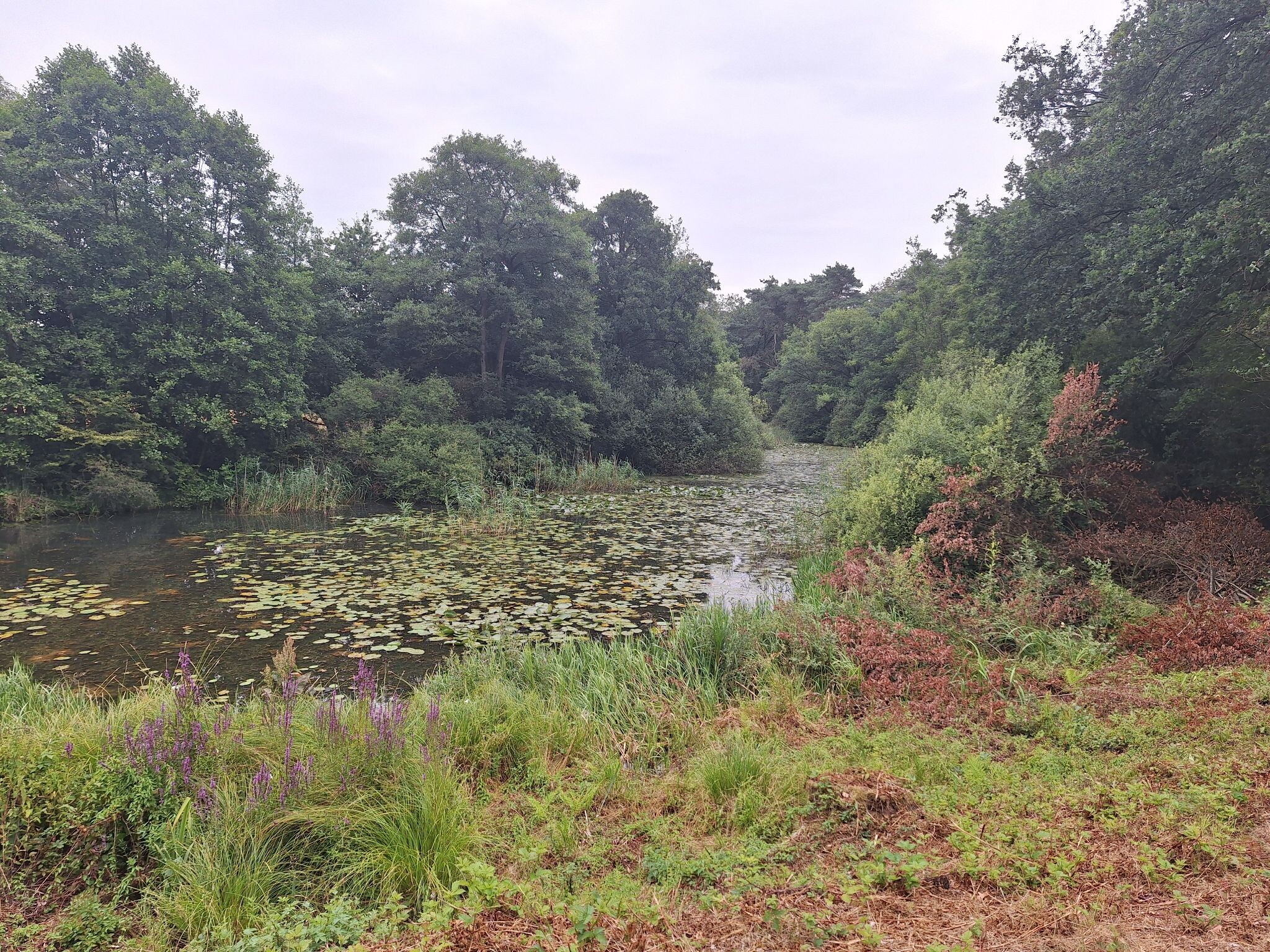
#4. Ommen - Mariënberg · Vechtdalpad etappe 3
Ommen,Beerze,Mariënberg
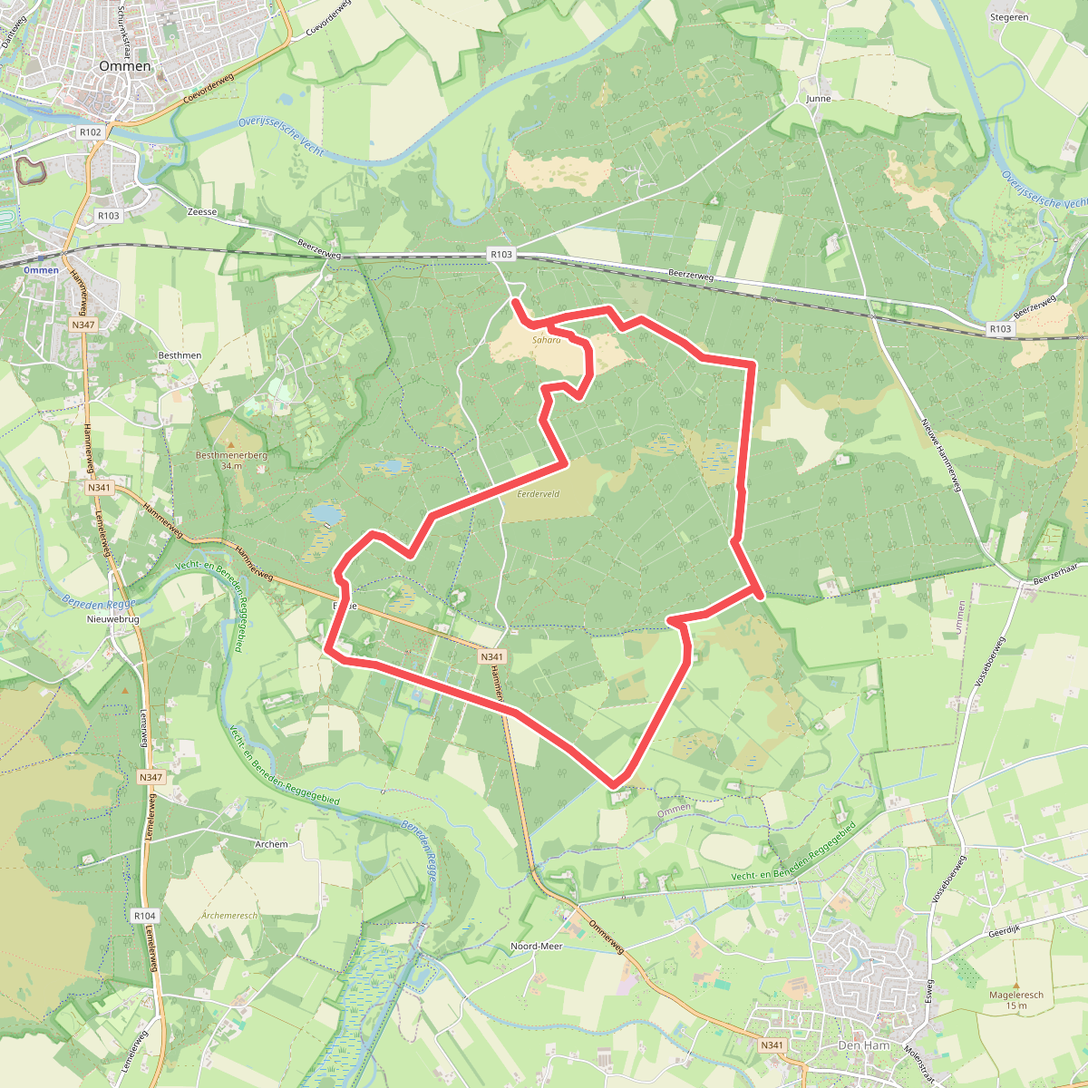


#5. Sahara - Groen
Ommen

#6. Twee bergen
Lemele,Dalmsholte

#7. Twee bergen archemerberg lemele
Lemele,Dalmsholte

#8. Beerzerzand - Blauw
Beerze


#9. Steile Oever - Geel
Ommen,Lemele

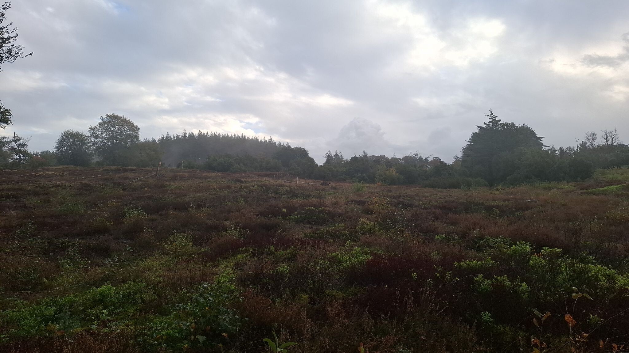

#10. Lemelerberg - Blauw
Lemele,Dalmsholte,Ommen


#11. Nijverdal - Den Ham · Overijssels Havezatenpad etappe 8
Nijverdal,Hellendoorn,Lemele,Den Ham
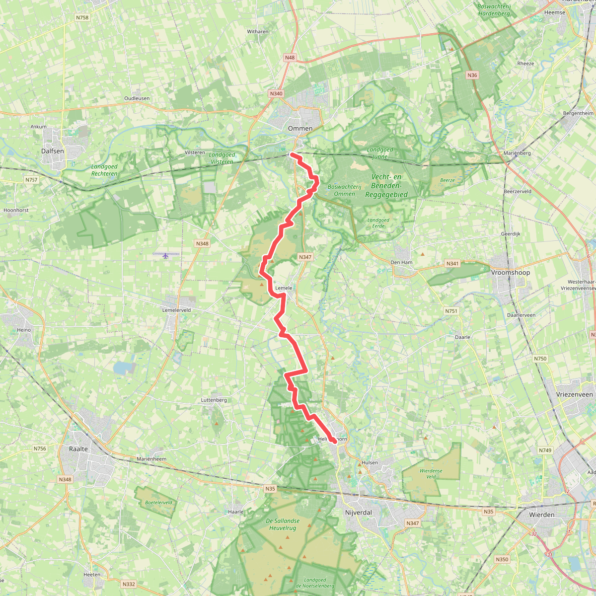
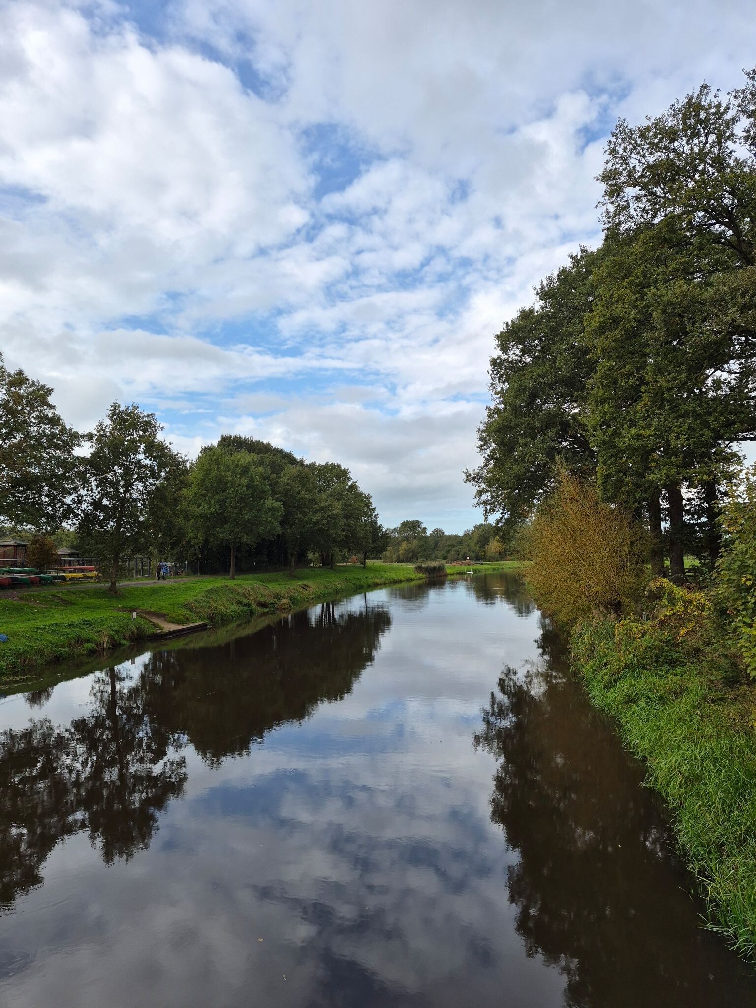
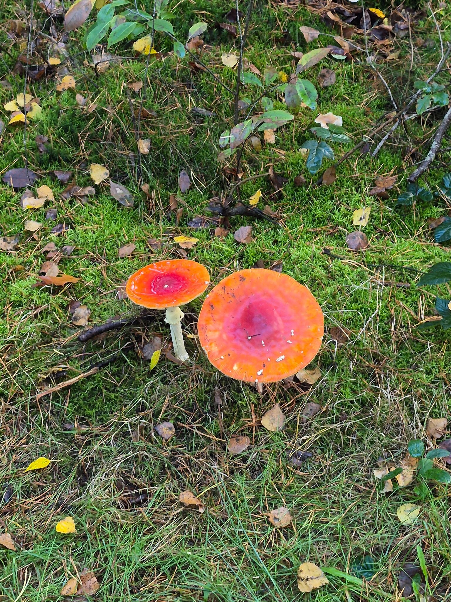
#12. Ommen - Hellendoorn · Pieterpad etappe 10
Hellendoorn,Lemele,Giethmen,Ommen




