


The best hiking routes in Volkacher Mainschleife
Discover the best walks in Volkacher Mainschleife. 12 routes on the map, with descriptions, photos and GPX.
About Volkacher Mainschleife
The Volkacher Mainschleife is defined by a massive, looping bend of the Main River that has carved a deep, horseshoe-shaped valley into the Franconian limestone plateau. Walking here means navigating a landscape split sharply by topography and land use. The steep, south-facing slopes of the river loop are covered entirely in terraced vineyards, where narrow, paved agricultural tracks and steep stone steps dominate the climb. In contrast, the flat alluvial plain inside the river bend features orchards, alluvial woodland remnants, and sandy paths running close to the water.
Read more
About Volkacher Mainschleife
The Volkacher Mainschleife is defined by a massive, looping bend of the Main River that has carved a deep, horseshoe-shaped valley into the Franconian limestone plateau. Walking here means navigating a landscape split sharply by topography and land use. The steep, south-facing slopes of the river loop are covered entirely in terraced vineyards, where narrow, paved agricultural tracks and steep stone steps dominate the climb. In contrast, the flat alluvial plain inside the river bend features orchards, alluvial woodland remnants, and sandy paths running close to the water.
Read moreThe Volkacher Mainschleife is defined by a massive, looping bend of the Main River that has carved a deep, horseshoe-shaped valley into the Franconian limestone plateau. Walking here means navigating a landscape split sharply by topography and land use. The steep, south-facing slopes of the river loop are covered entirely in terraced vineyards, where narrow, paved agricultural tracks and steep stone steps dominate the climb. In contrast, the flat alluvial plain inside the river bend features orchards, alluvial woodland remnants, and sandy paths running close to the water.
Underfoot, you will transition from hard asphalt and concrete vineyard paths to soft, unpaved dirt tracks along the riverbanks. The elevation changes are moderate but constant as you climb out of the valley floor onto the vineyard ridges. This is a working agricultural landscape rather than a wild forest, meaning you will walk past active wine estates, historic stone walls, and fruit orchards rather than deep, enclosed woodland.
In October, the grape harvest brings tractors and workers to the hillsides, making the vineyard paths busy, while the riverside trails remain quieter. The area does not offer high mountain peaks or vast, unmanaged wilderness, but rather a structured, sun-exposed valley where the river is almost always in view from the high paths.
Hiking routes in Volkacher Mainschleife (12)

#1. Astheimer Quittenlehrpfad
Volkach

#2. Eisenheimer Bildstockweg
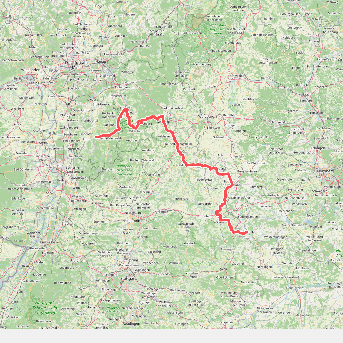
#3. Europäischer Fernwanderweg E8, Baden-Württemberg
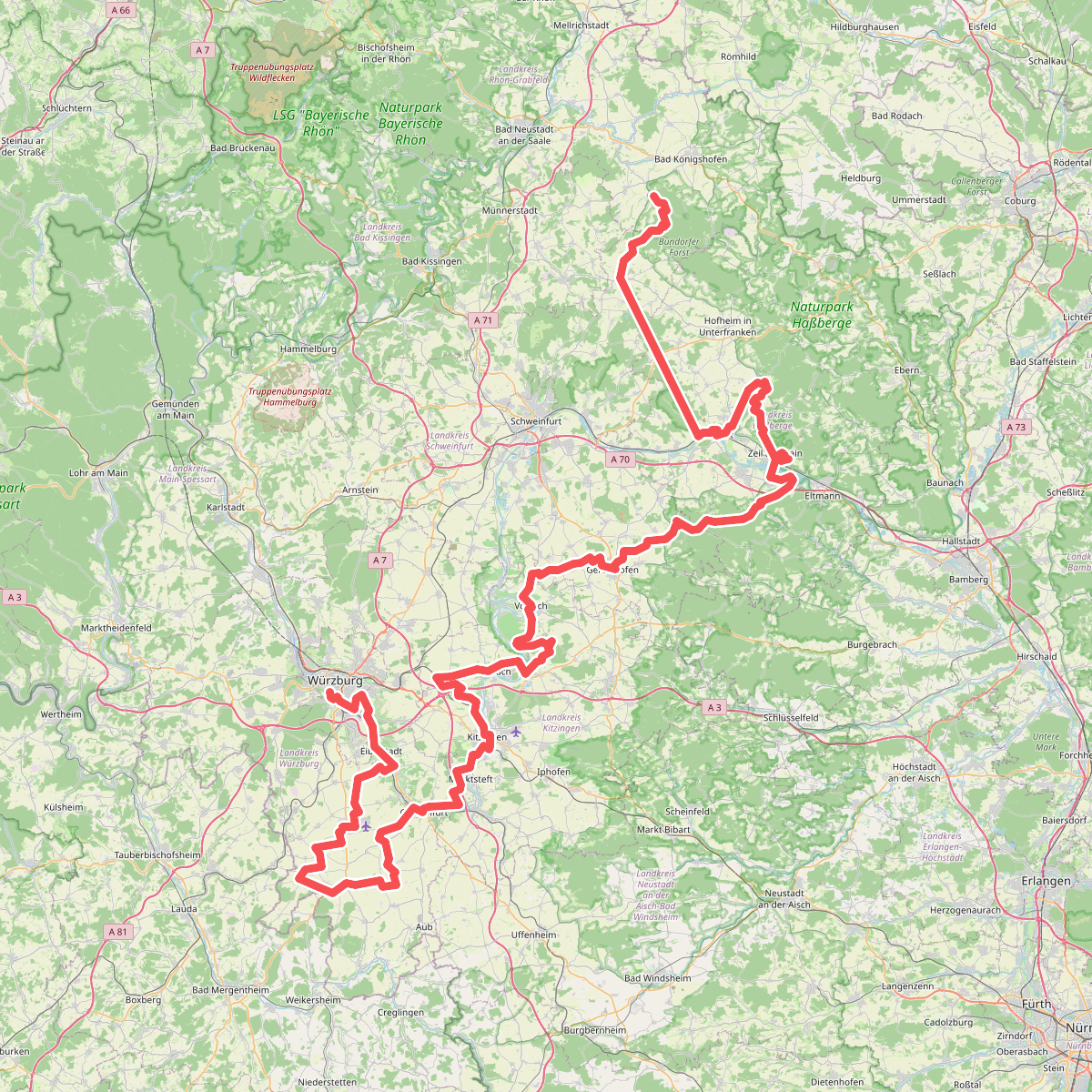
#4. Fränkischer Marienweg Route 3
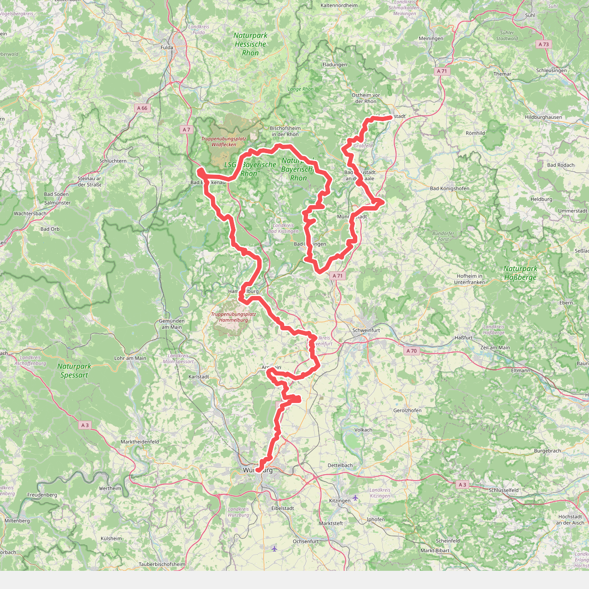
#5. Fränkischer Marienweg Route 4

#6. Jakobsweg Fulda-Würzburg (Teilstrecke Schweinfurt - Würzburg)
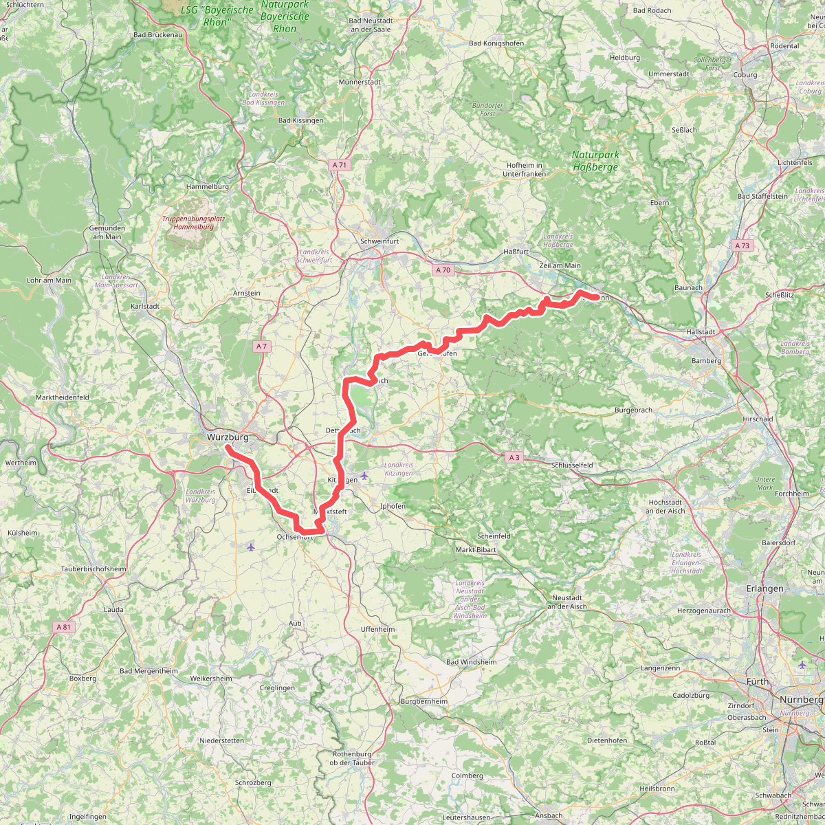
#7. Mainweg Teil 5

#8. Panoramaweg Fahr / D - Obst-Wein-Main
Volkach

#9. TraumRunde Dettelbacher Dörfer
Dettelbach

#10. Volkacher Mainschleife 1
Nordheim am Main

#11. Volkacher Mainschleife 14a
Volkach

#12. Wein-KultTour Lindach-Stammheim-Zeilitzheim
Kolitzheim




