


The best hiking routes in Wettersteingebiet einschließlich Latschengürtel bei Mittenwald
Discover the best walks in Wettersteingebiet einschließlich Latschengürtel bei Mittenwald. 32 routes on the map, with descriptions, photos and GPX.
About Wettersteingebiet einschließlich Latschengürtel bei Mittenwald
The Wettersteingebiet einschließlich Latschengürtel bei Mittenwald offers a stark transition from dense mountain pine scrub to bare limestone rock. Unlike the flatter valleys nearby, this protected area is defined by its steep, rugged slopes and the characteristic belt of low-growing mountain pines, known as Latschen, which forms a dense, almost impenetrable green band below the grey rock faces. Walkers should expect a landscape dominated by scree slopes, sharp limestone formations, and sparse subalpine vegetation rather than gentle alpine meadows.
Read more
About Wettersteingebiet einschließlich Latschengürtel bei Mittenwald
The Wettersteingebiet einschließlich Latschengürtel bei Mittenwald offers a stark transition from dense mountain pine scrub to bare limestone rock. Unlike the flatter valleys nearby, this protected area is defined by its steep, rugged slopes and the characteristic belt of low-growing mountain pines, known as Latschen, which forms a dense, almost impenetrable green band below the grey rock faces. Walkers should expect a landscape dominated by scree slopes, sharp limestone formations, and sparse subalpine vegetation rather than gentle alpine meadows.
Read moreThe Wettersteingebiet einschließlich Latschengürtel bei Mittenwald offers a stark transition from dense mountain pine scrub to bare limestone rock. Unlike the flatter valleys nearby, this protected area is defined by its steep, rugged slopes and the characteristic belt of low-growing mountain pines, known as Latschen, which forms a dense, almost impenetrable green band below the grey rock faces. Walkers should expect a landscape dominated by scree slopes, sharp limestone formations, and sparse subalpine vegetation rather than gentle alpine meadows.
Underfoot, the terrain is demanding. The paths consist primarily of loose limestone gravel, steep rocky steps, and narrow tracks cutting through the thick pine scrub. The roots of the mountain pines often cross the path, requiring constant attention to footing. As you ascend, the vegetation thins out significantly, leaving you on exposed, stony trails where the white limestone reflects the light intensely, especially during the dry summer months of July and August.
This area is best suited for those seeking a rugged, vertical landscape rather than easy, rolling forest walks. The main appeal lies in observing how the vegetation adapts to the harsh, wind-swept limestone environment, with dwarf shrubs clinging to the rock. While the lower access points near Mittenwald can attract more visitors, the higher, steeper tracks through the pine belt offer a much more solitary and physically challenging walking experience.
Hiking routes in Wettersteingebiet einschließlich Latschengürtel bei Mittenwald (32)
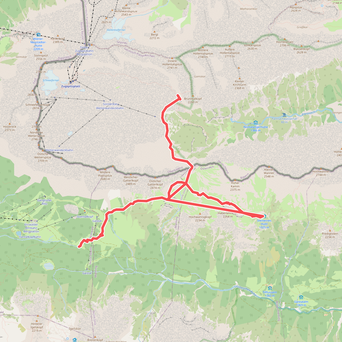
#1. AV Weg 815 (Gaistal - Gatterl - Knorrhütte)
Ehrwald,Mieming,Wildermieming,Garmisch-Partenkirchen
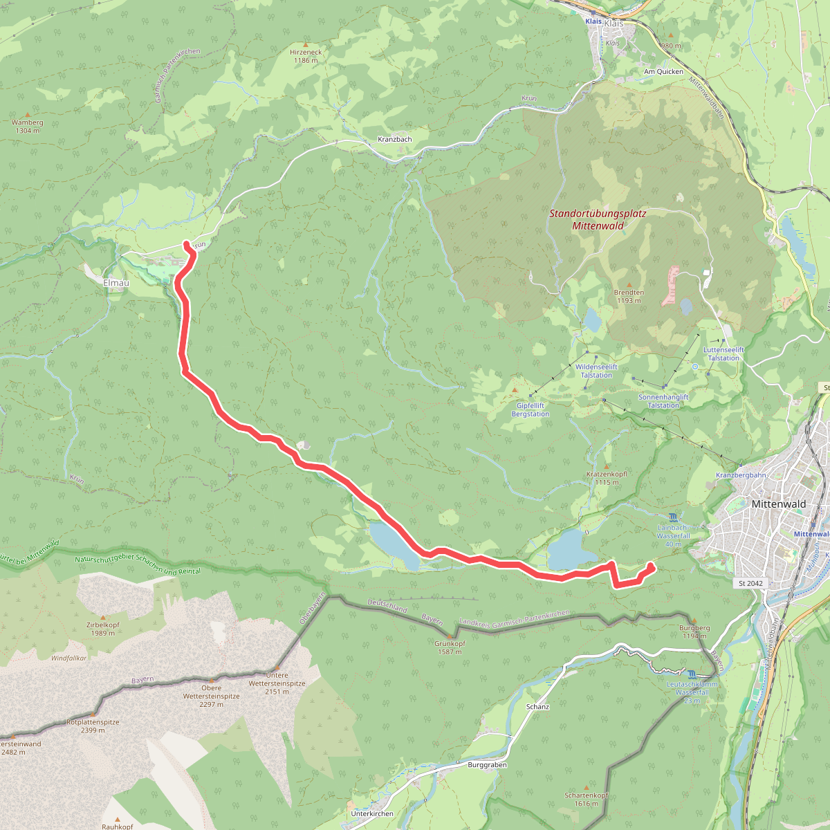
#2. AV Weg 820 (grün)
Krün,Mittenwald
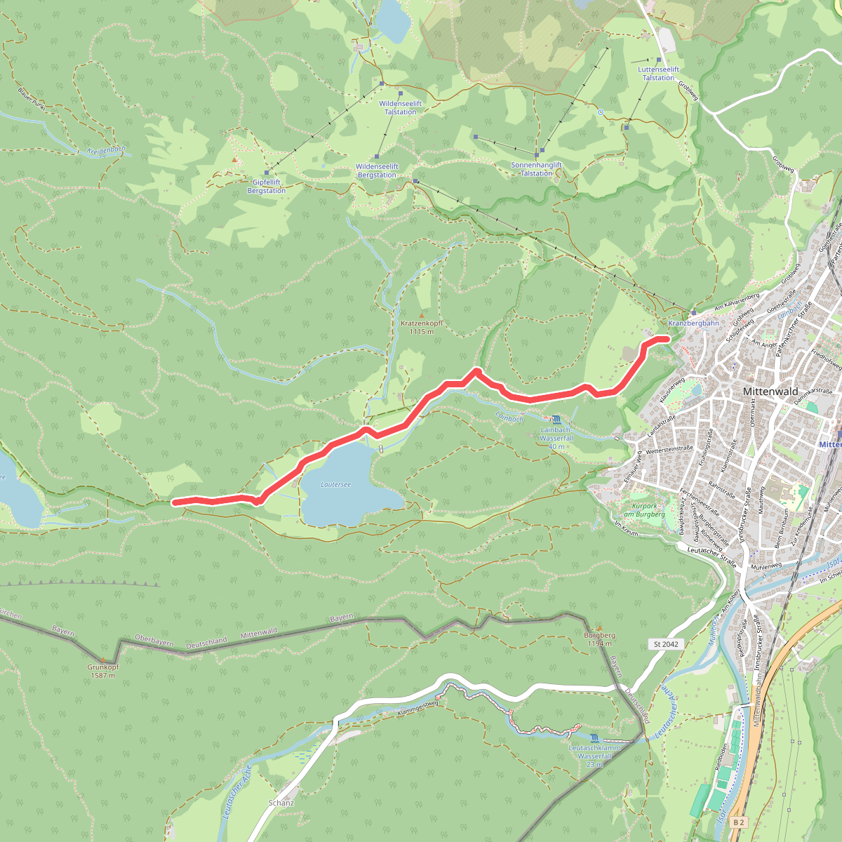
#3. AV Weg 828 (grün)
Mittenwald
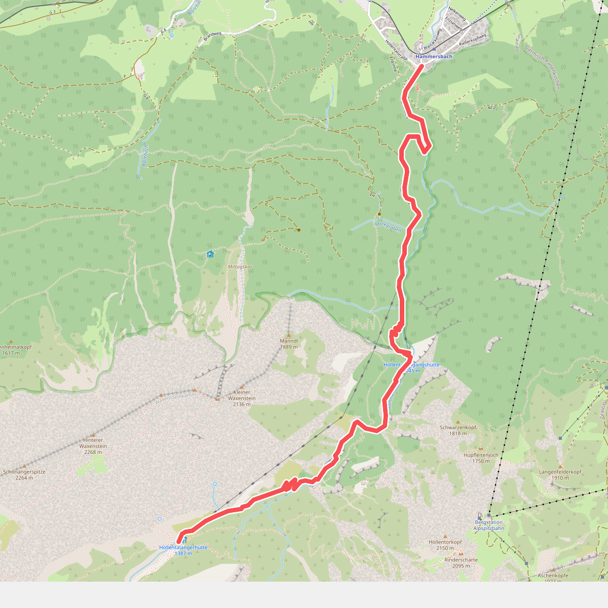
#4. AV Weg 831A (Höllental)
Grainau
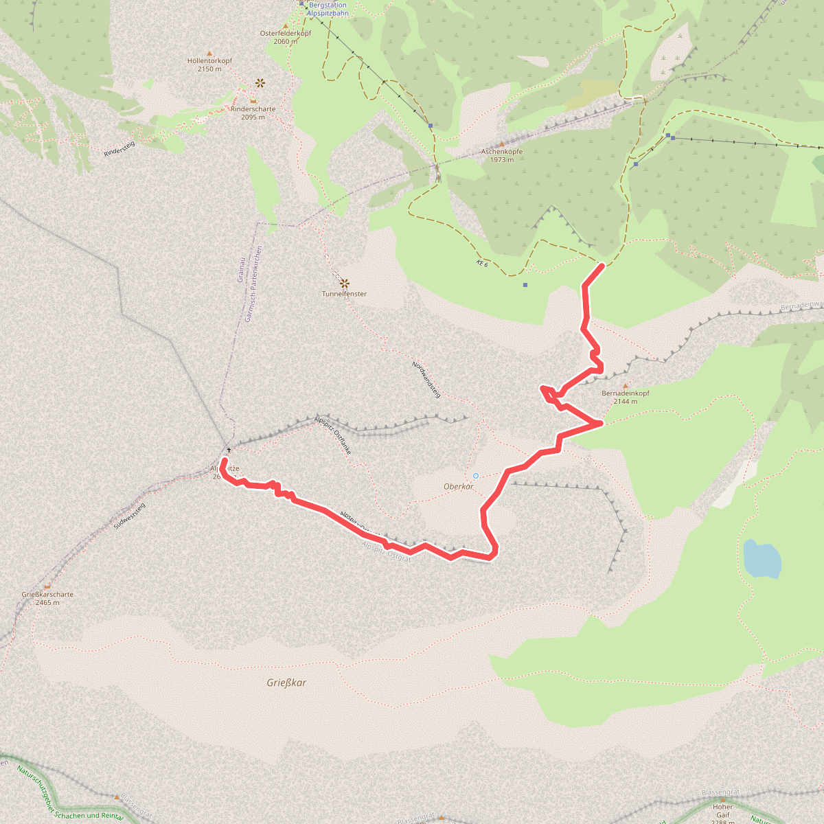
#5. AV Weg 834 (Schöngänge)
Garmisch-Partenkirchen
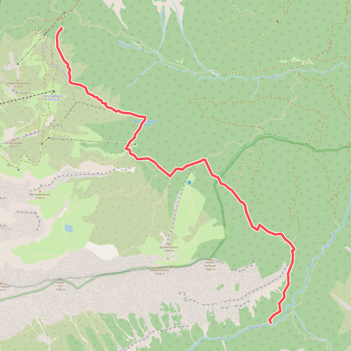
#6. AV Weg 835 (Bernadeinsteig)
Garmisch-Partenkirchen
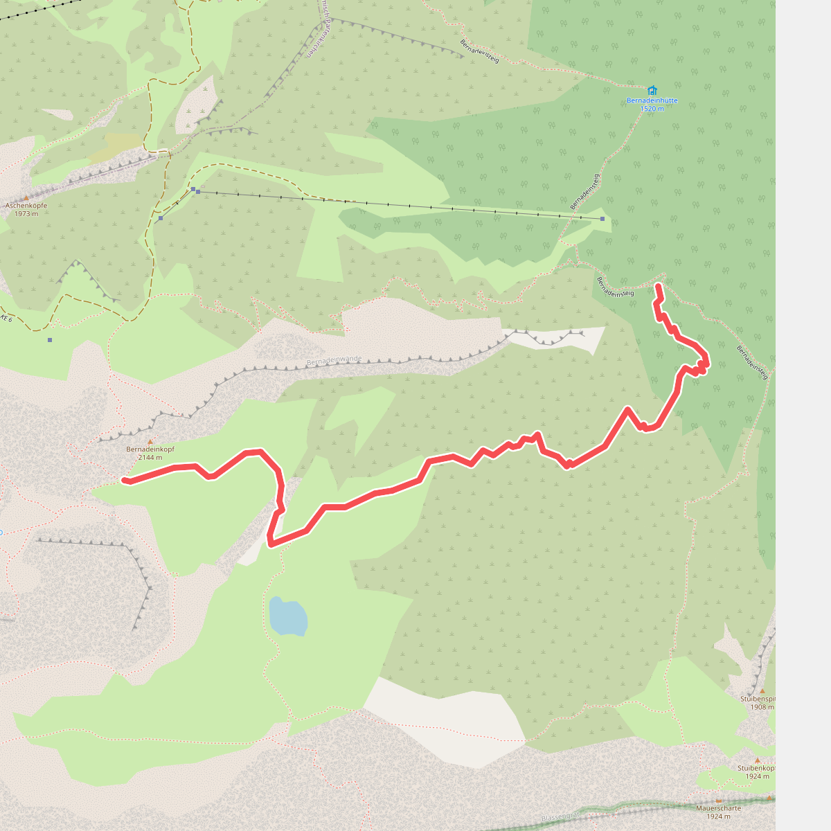
#7. AV Weg 835a (Bernadeinsteig - Stuibensee - Schöngänge)
Garmisch-Partenkirchen
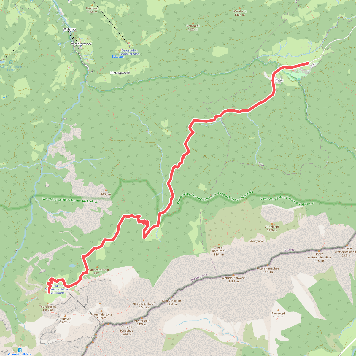
#8. AV Weg 841 (Schachenweg)
Garmisch-Partenkirchen,Krün
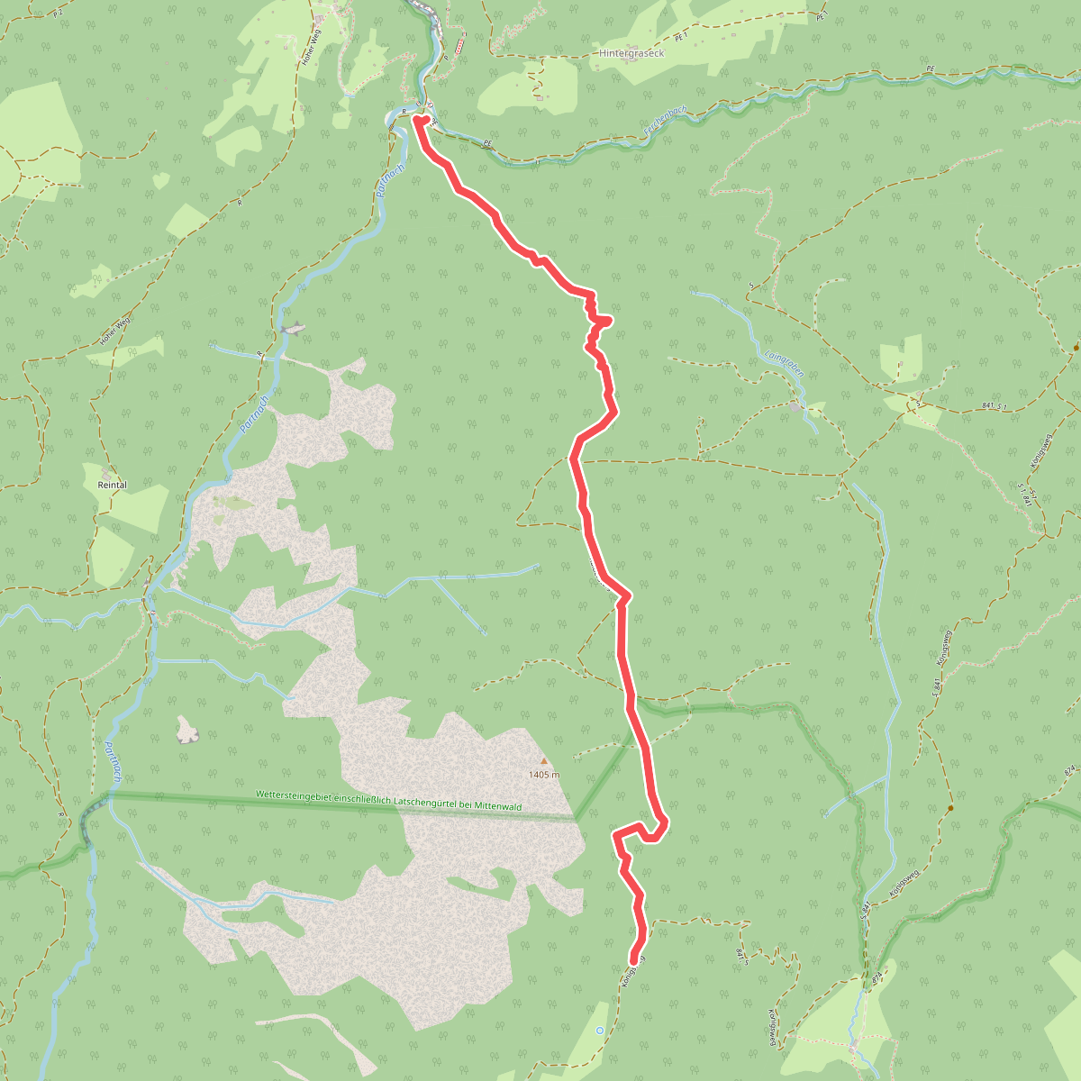
#9. AV Weg 842 (Kaelbersteig)
Garmisch-Partenkirchen
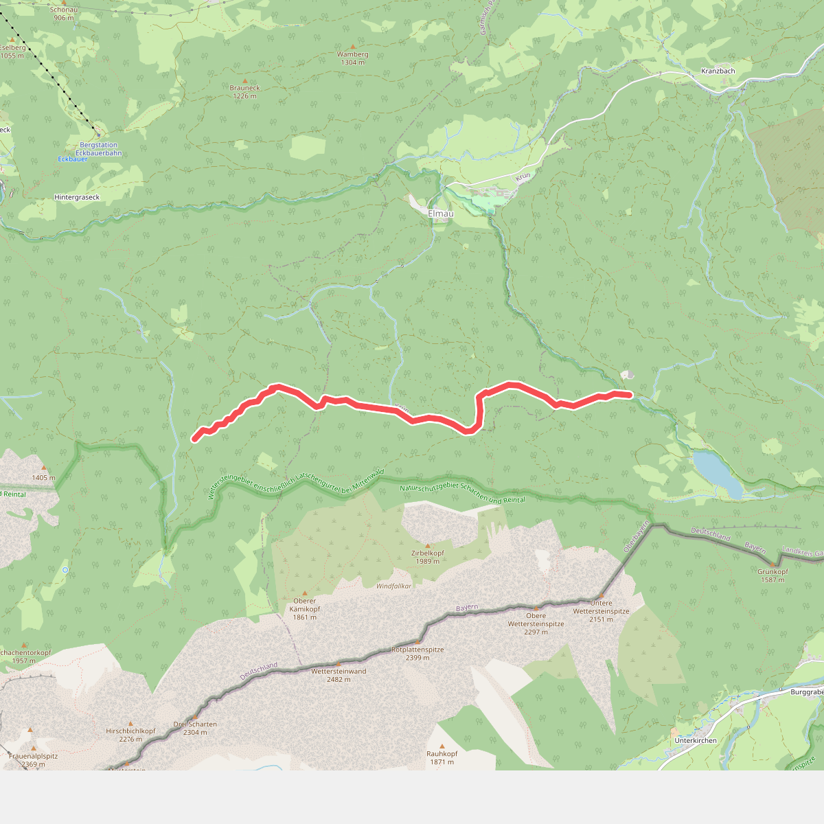
#10. AV Weg 870 (Bannholzweg)
Garmisch-Partenkirchen,Krün,Mittenwald
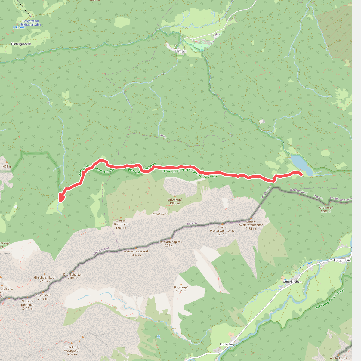
#11. AV Weg 874 (Schützensteig)
Garmisch-Partenkirchen,Mittenwald
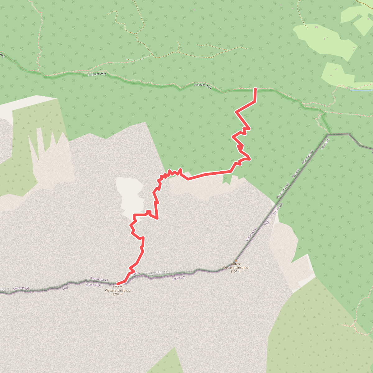
#12. AV Weg 875
Mittenwald




