


The best hiking routes in Yorkshire Dales National Park
Discover the best walks in Yorkshire Dales National Park. 7 routes on the map, with descriptions, photos and GPX.
About Yorkshire Dales National Park
The Yorkshire Dales National Park is defined by its distinct limestone geology and deep, glacier-carved valleys. Unlike the rugged granite of other northern uplands, this landscape features vast pavements of exposed, grey limestone scarred by deep fissures, known locally as grikes. Walkers will find a stark contrast between the bright, sheep-grazed limestone pastures of the southern dales and the darker, heather-clad gritstone moorlands that cap the higher summits further north.
Read more
About Yorkshire Dales National Park
The Yorkshire Dales National Park is defined by its distinct limestone geology and deep, glacier-carved valleys. Unlike the rugged granite of other northern uplands, this landscape features vast pavements of exposed, grey limestone scarred by deep fissures, known locally as grikes. Walkers will find a stark contrast between the bright, sheep-grazed limestone pastures of the southern dales and the darker, heather-clad gritstone moorlands that cap the higher summits further north.
Read moreThe Yorkshire Dales National Park is defined by its distinct limestone geology and deep, glacier-carved valleys. Unlike the rugged granite of other northern uplands, this landscape features vast pavements of exposed, grey limestone scarred by deep fissures, known locally as grikes. Walkers will find a stark contrast between the bright, sheep-grazed limestone pastures of the southern dales and the darker, heather-clad gritstone moorlands that cap the higher summits further north.
Underfoot, the terrain varies from dry, grassy turf on the limestone to thick, boggy peat on the high moors. Well-trodden paths are often lined by drystone walls built from the local stone, while lower valley routes frequently cross stiles and stone-flagged paths through hay meadows. In limestone areas, rivers can disappear entirely underground into cave systems, leaving dry, grassy valleys above, while the gritstone areas are marked by dark, peat-stained streams and gritstone crags.
This is a landscape of managed farmland and open fells rather than dense woodland or jagged alpine peaks. The valleys are dotted with stone barns and small villages, meaning a walk here rarely feels completely isolated. While popular locations like Malham Cove or Horton in Ribblesdale attract large numbers of walkers, especially during the summer months, the high moorland crossings remain much quieter and require careful navigation across trackless peat.
Hiking routes in Yorkshire Dales National Park (7)

#1. Pennine Way (Hawes to Tan Hill)

#2. Pennine Way (Horton in Ribblesdale to Hawes)

#3. Pennine Way (Ickornshaw to Malham)

#4. Pennine Way (Malham to Horton in Ribblesdale)

#5. Pennine Way (Tan Hill to Middleton in Teesdale)

#6. Teesdale Way (Middleton in Teesdale to Middlesbrough)
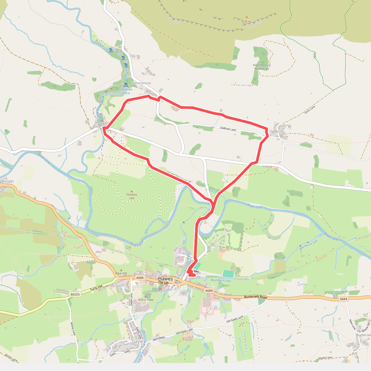
#7. Yorkshire Dales
North Yorkshire




