


The best hiking routes in Zona de Proteção Especial da Laurissilva da Madeira
Discover the best walks in Zona de Proteção Especial da Laurissilva da Madeira. 56 routes on the map, with descriptions, photos and GPX.
Managed by Secretaria Regional do Ambiente e Recursos Naturais
About Zona de Proteção Especial da Laurissilva da Madeira
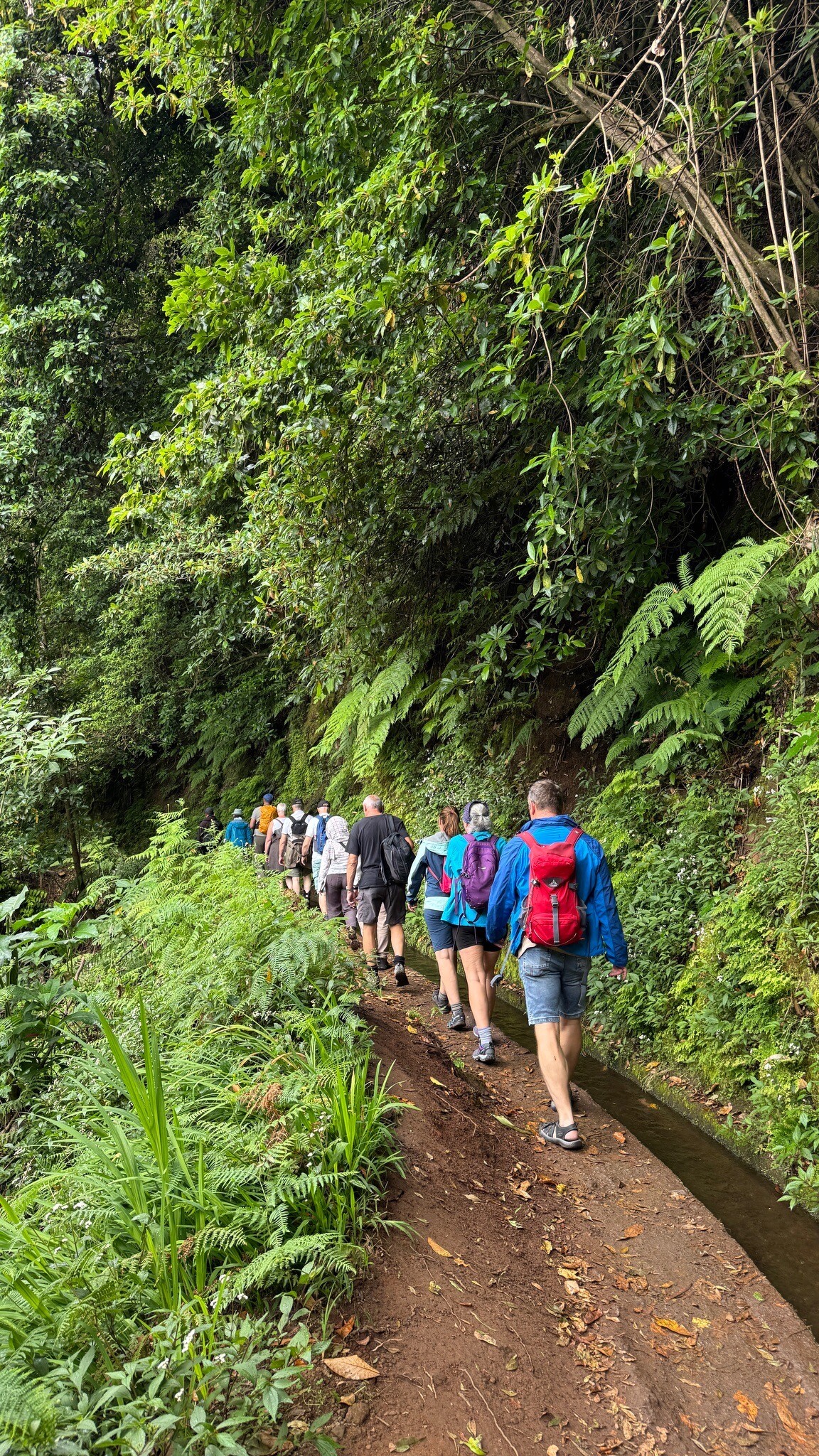
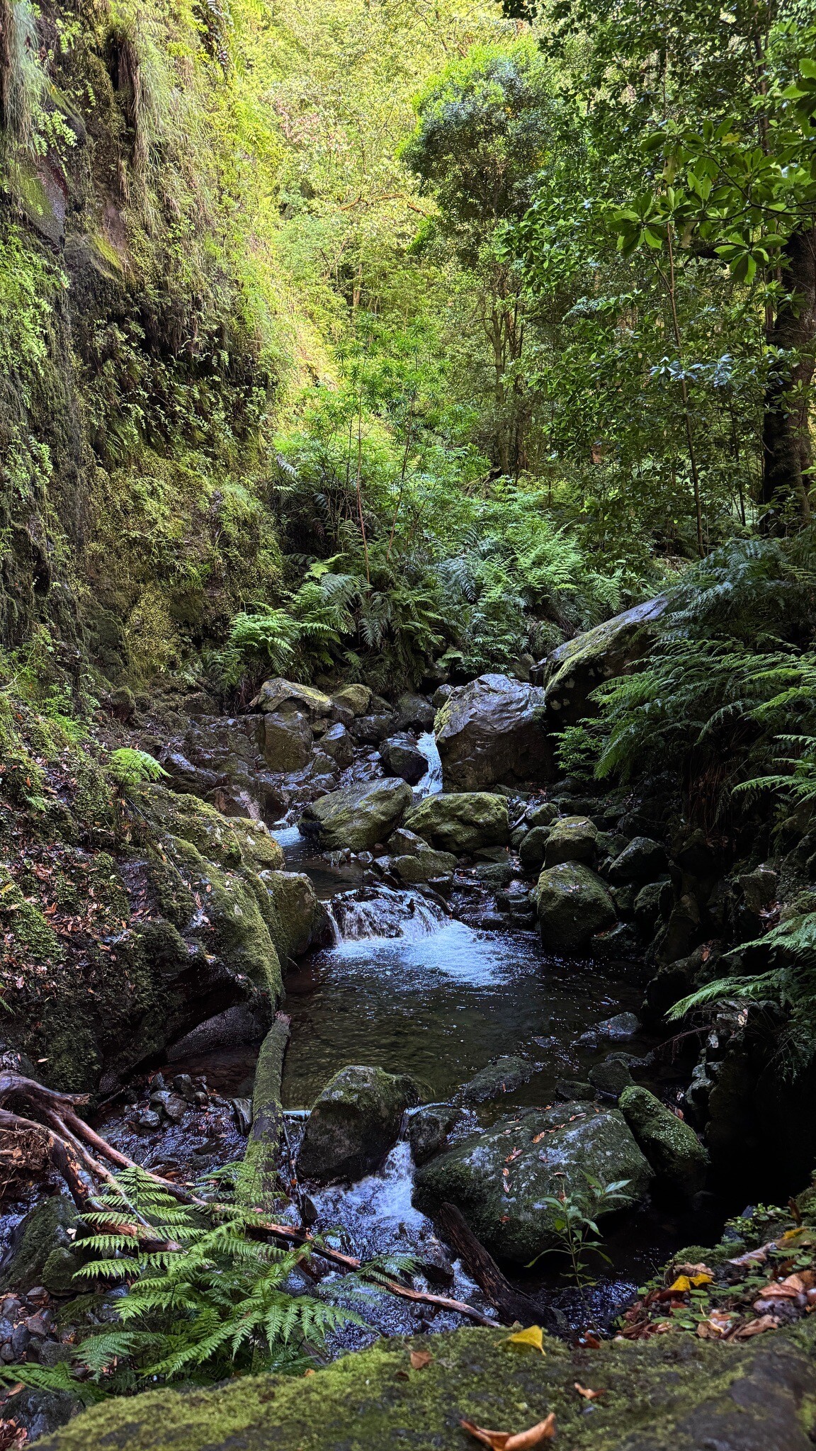
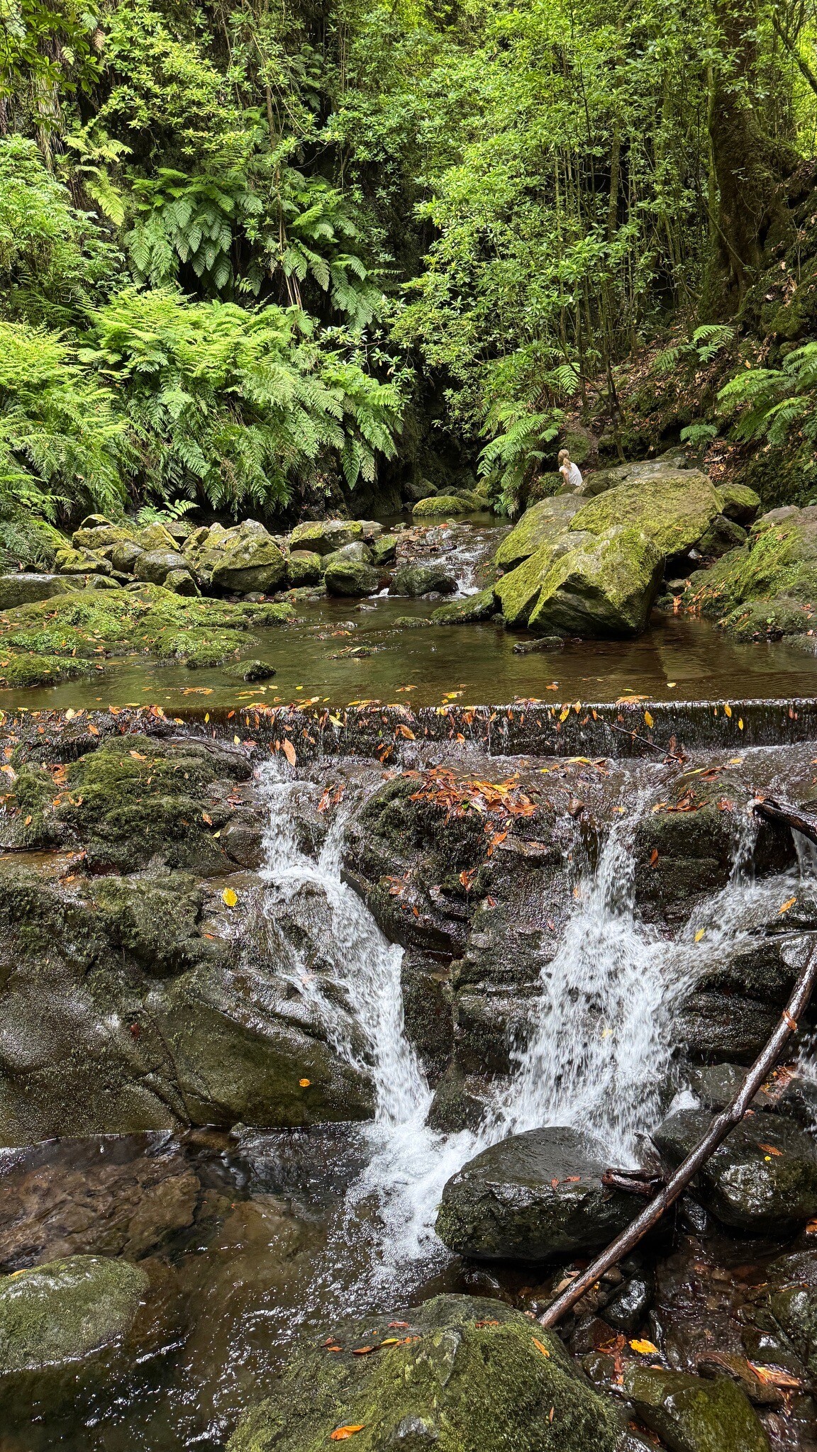
The Zona de Proteção Especial da Laurissilva da Madeira protects the dense, humid laurel forest that covers the steep northern slopes and deep ravines of the island. Unlike the drier, pine-forested southern slopes, this area is characterized by high humidity, moss-covered trunks, and ancient endemic trees such as the Til and the Barbusano. Walkers will find a landscape shaped by steep basalt cliffs and narrow valleys where water is constantly present, dripping from rock faces and feeding the extensive network of stone-lined irrigation channels.
Read more
About Zona de Proteção Especial da Laurissilva da Madeira
The Zona de Proteção Especial da Laurissilva da Madeira protects the dense, humid laurel forest that covers the steep northern slopes and deep ravines of the island. Unlike the drier, pine-forested southern slopes, this area is characterized by high humidity, moss-covered trunks, and ancient endemic trees such as the Til and the Barbusano. Walkers will find a landscape shaped by steep basalt cliffs and narrow valleys where water is constantly present, dripping from rock faces and feeding the extensive network of stone-lined irrigation channels.
Read moreThe Zona de Proteção Especial da Laurissilva da Madeira protects the dense, humid laurel forest that covers the steep northern slopes and deep ravines of the island. Unlike the drier, pine-forested southern slopes, this area is characterized by high humidity, moss-covered trunks, and ancient endemic trees such as the Til and the Barbusano. Walkers will find a landscape shaped by steep basalt cliffs and narrow valleys where water is constantly present, dripping from rock faces and feeding the extensive network of stone-lined irrigation channels.
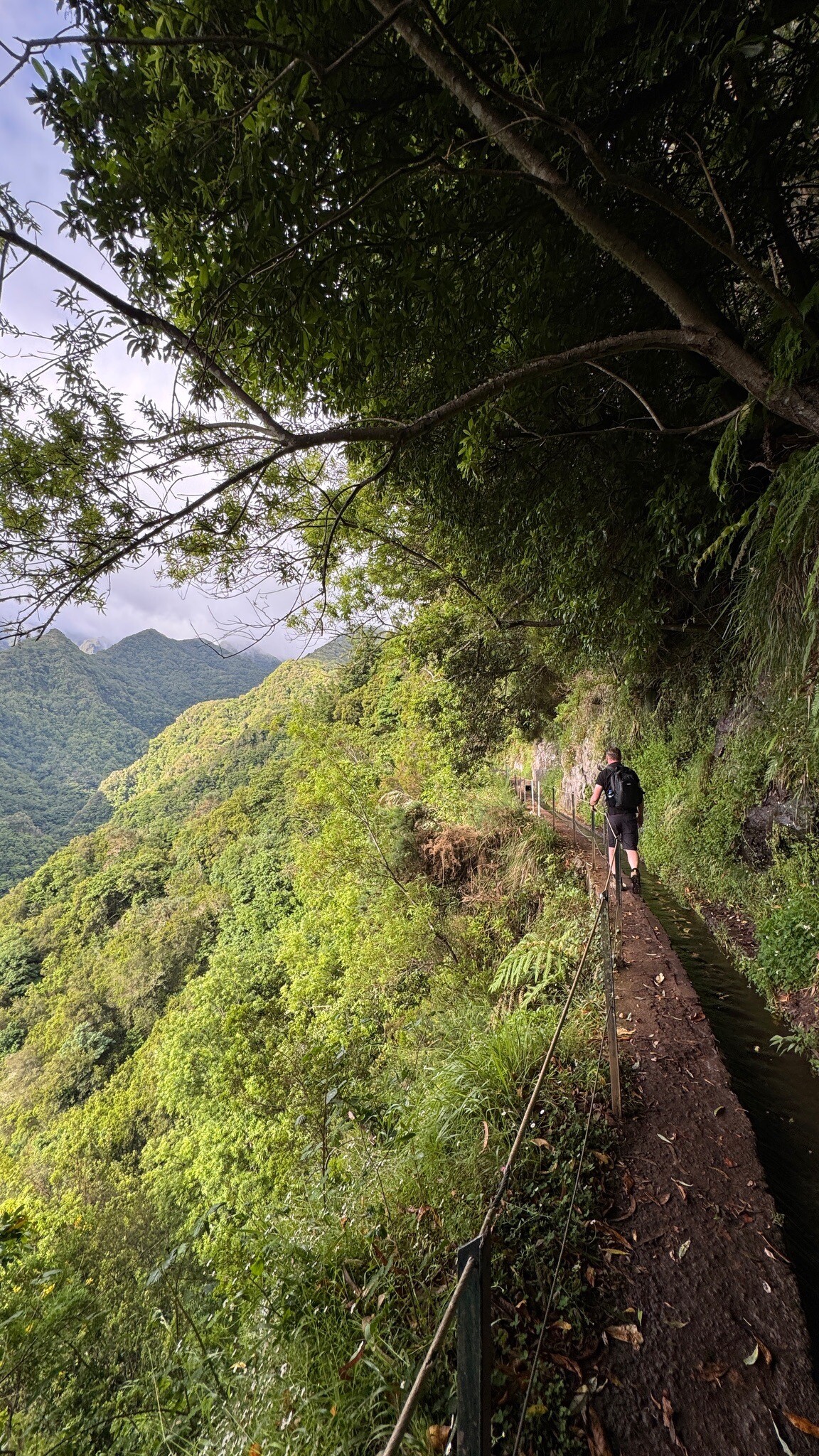
Underfoot, the walking conditions are defined by the levadas, the narrow concrete or stone maintenance paths running alongside the water channels. These paths are generally flat but can be narrow, sometimes with sheer drops on one side and wet rock walls on the other. In contrast, the mountain footpaths (veredas) that climb through the forest are steep, uneven, and often consist of wet basalt steps, exposed tree roots, and damp clay. The dense canopy keeps the forest floor in deep shade, meaning the ground remains damp and slick.
This protected area is not a place for open, sweeping mountain vistas; instead, the experience is enclosed and intimate, with views often limited to the immediate green canopy and the mist that frequently rolls through the valleys. While popular levada routes like those near Ribeiro Frio attract regular foot traffic, the steeper climbable tracks deeper in the valleys offer a much quieter experience where the sound of running water and endemic bird calls dominate.
Hiking routes in Zona de Proteção Especial da Laurissilva da Madeira (56)
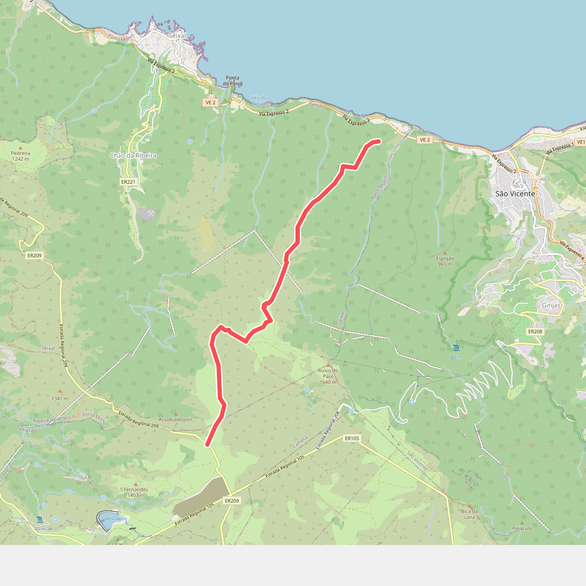
#1. Caminho dos Pessegueiros
Calheta,Seixal
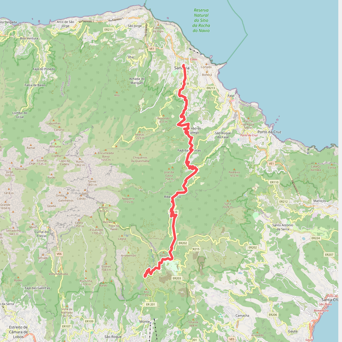
#2. Caminho Real 24
Santana,Faial,São Roque do Faial,Porto da Cruz,Camacha,Monte
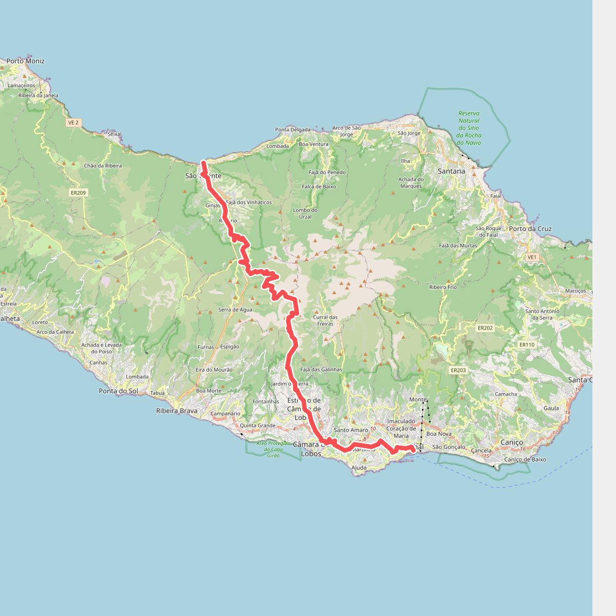
#3. Caminho Real 25
São Vicente,Serra de Água,Curral das Freiras,Jardim da Serra,Estreito de Câmara de Lobos,Câmara de Lobos,São Martinho,São Pedro,Sé
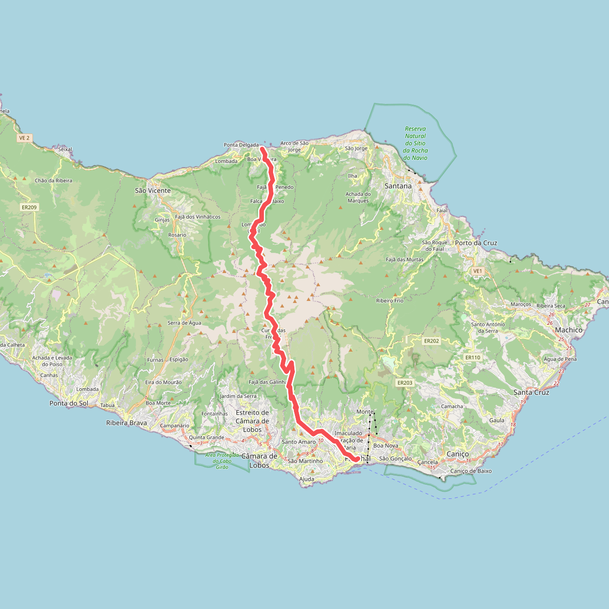
#4. Caminho Real 27
Boa Ventura,Curral das Freiras,Santo António,São Roque,São Pedro,Sé
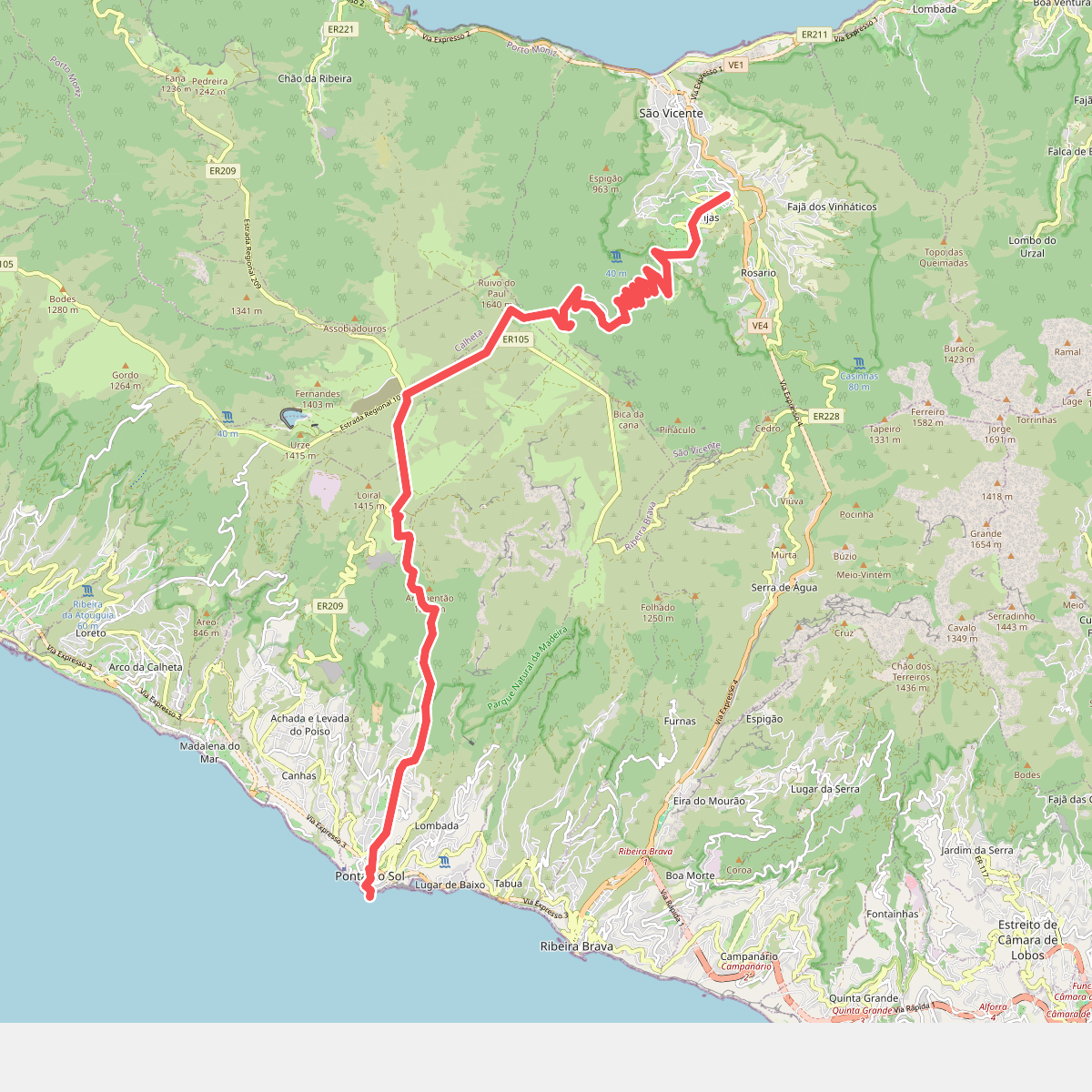
#5. Caminho Real 28
Ponta do Sol,Canhas,Calheta,São Vicente
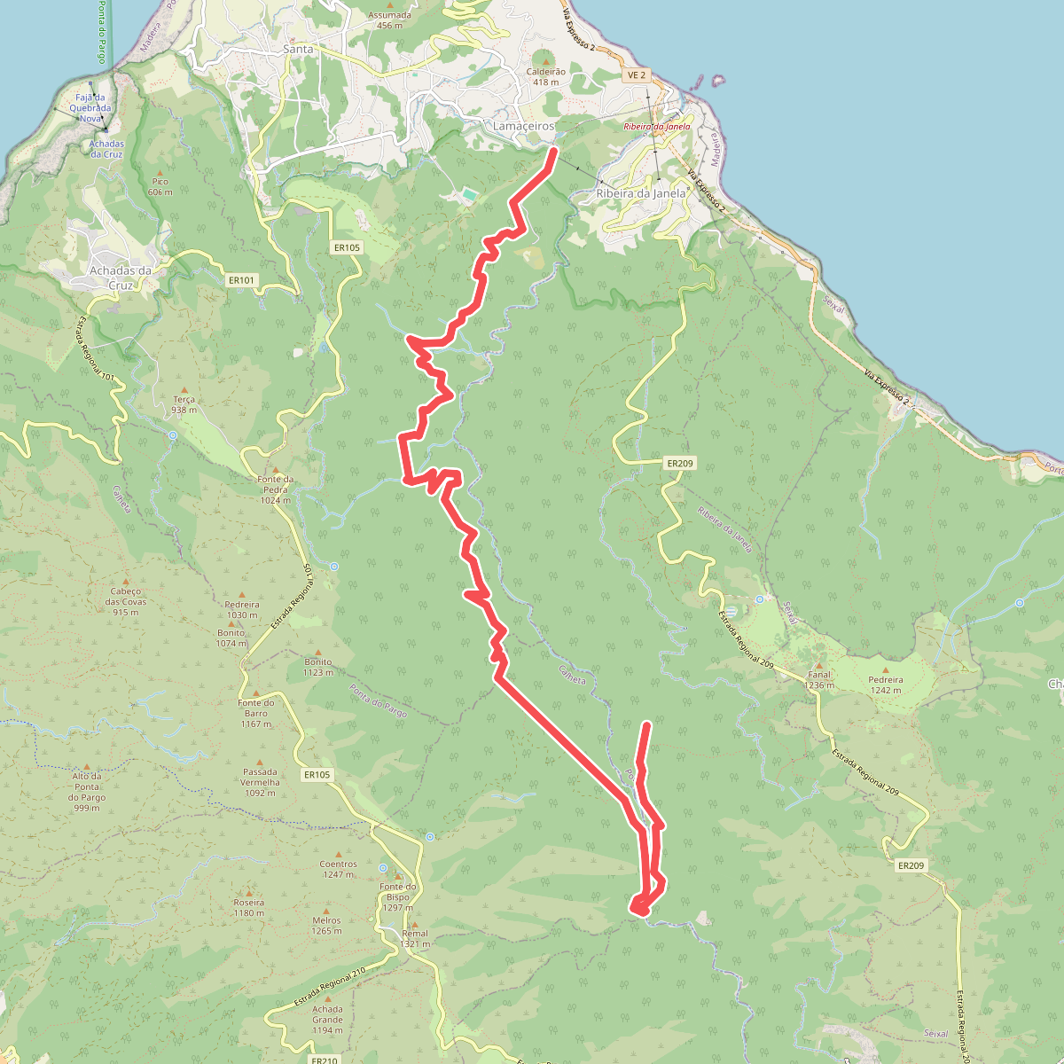
#6. Levada da Ribeira da Janela
Porto Moniz,Fajã da Ovelha,Ribeira da Janela
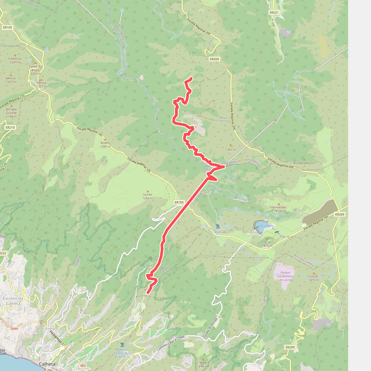
#7. Levada da Rocha Vermelha
Ribeira da Janela,Calheta
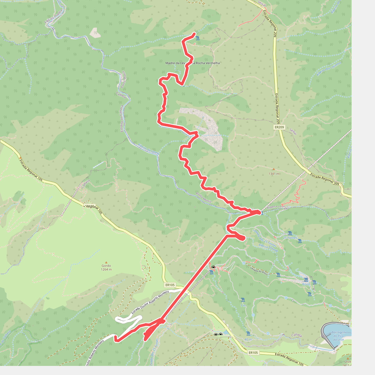
#8. Levada da Rocha Vermelha A
Ribeira da Janela,Calheta
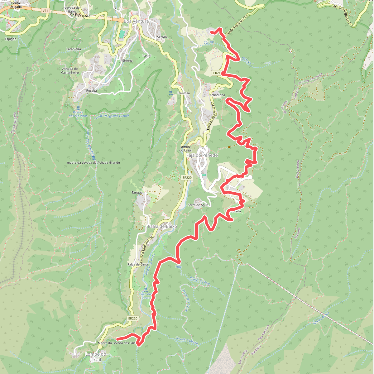
#9. Levada das Faias
Boa Ventura
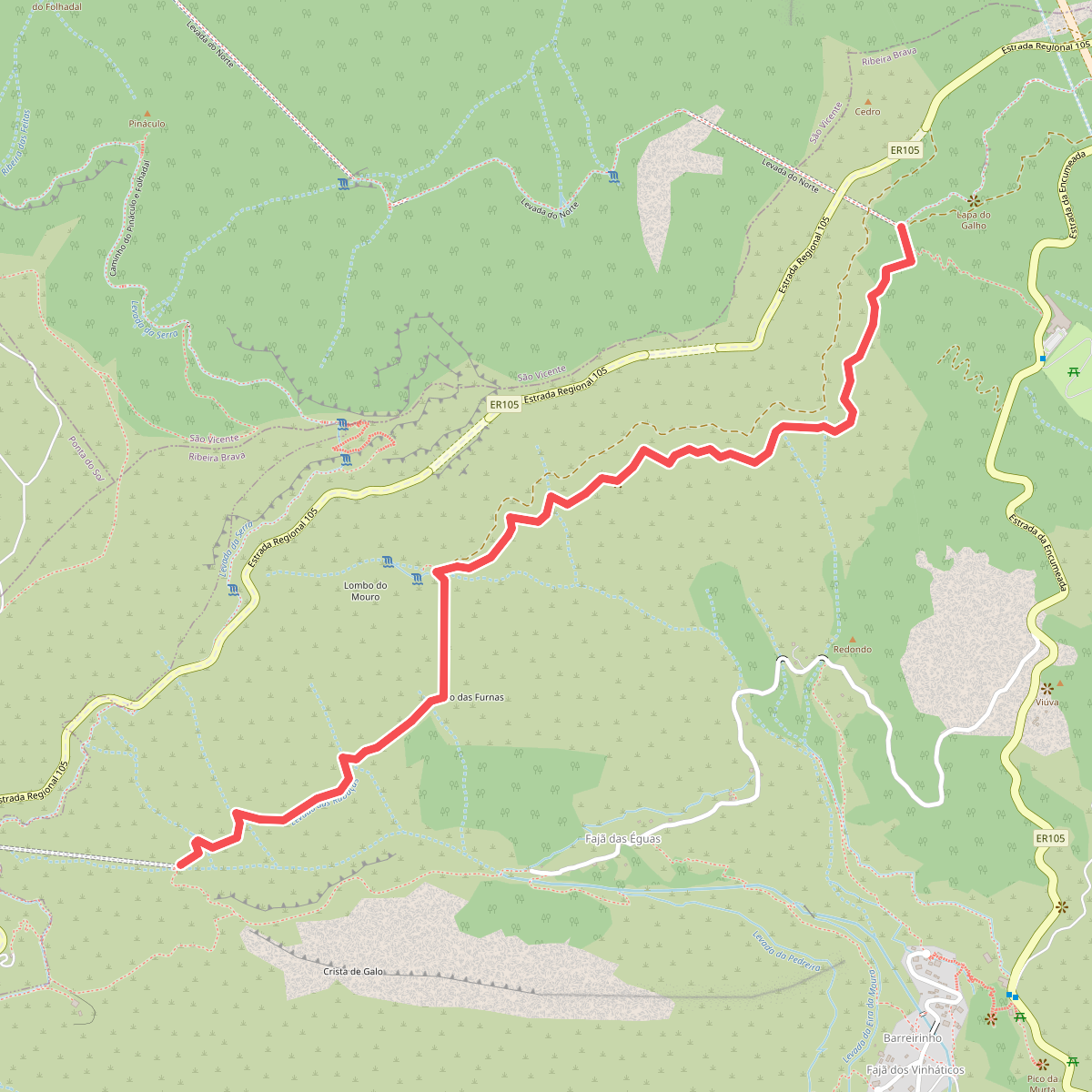
#10. Levada das Rabaças
Serra de Água
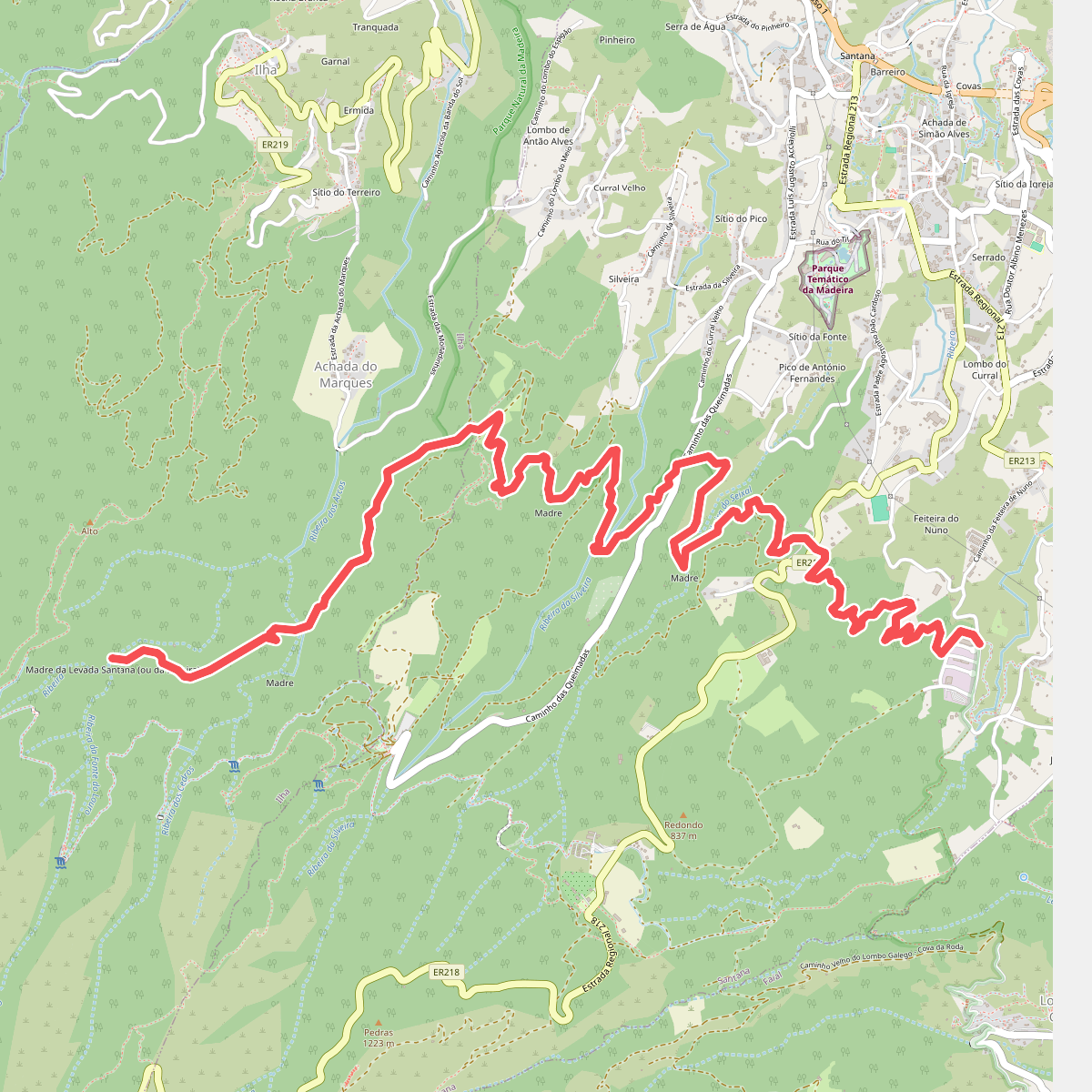
#11. Levada de Santana
Ilha,Santana
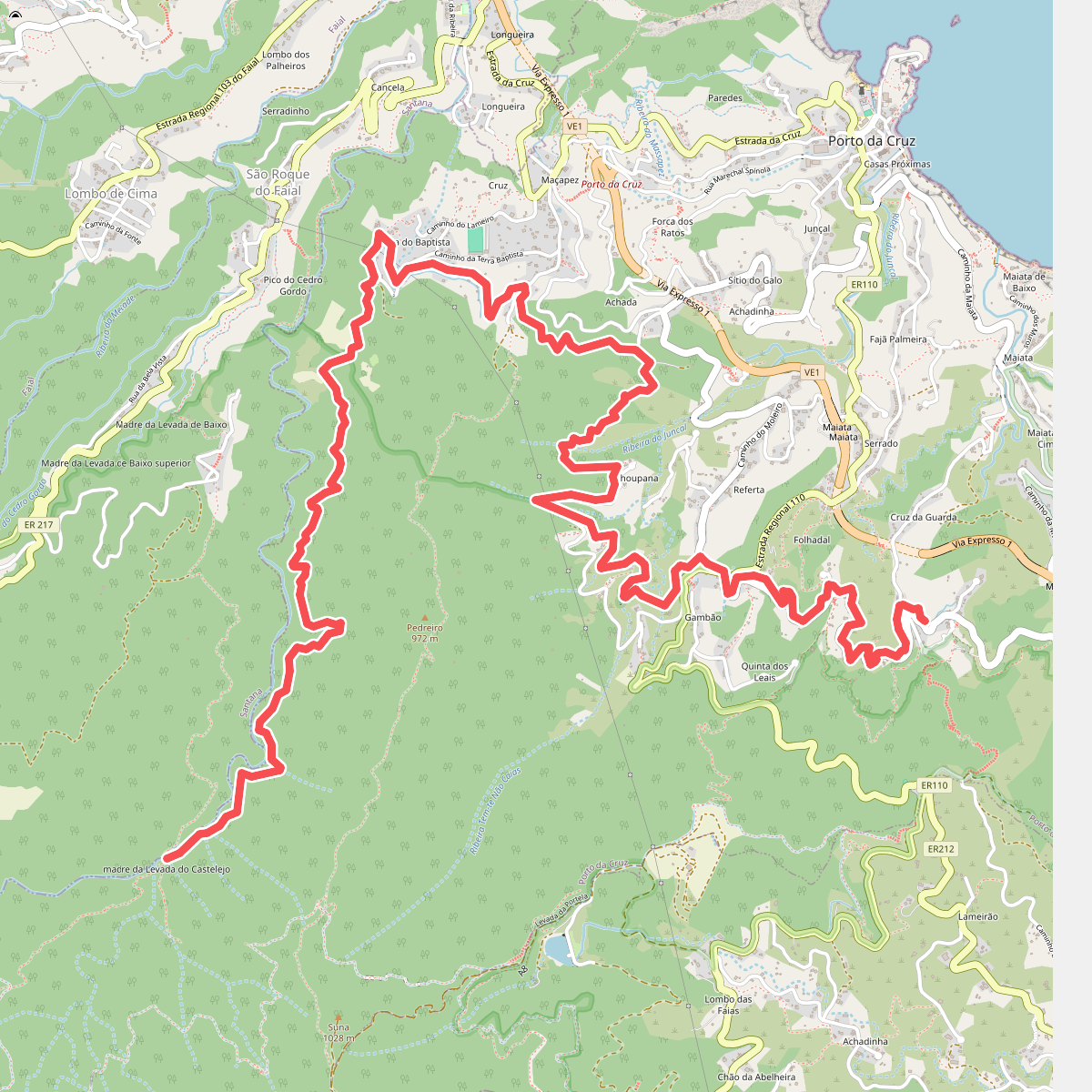
#12. Levada do Castelejo
Porto da Cruz




