


The best hiking routes in Zona de Proteção Especial do Caldeirão
Discover the best walks in Zona de Proteção Especial do Caldeirão. 28 routes on the map, with descriptions, photos and GPX.
Managed by Instituto da Conservação da Natureza e das Florestas


About Zona de Proteção Especial do Caldeirão
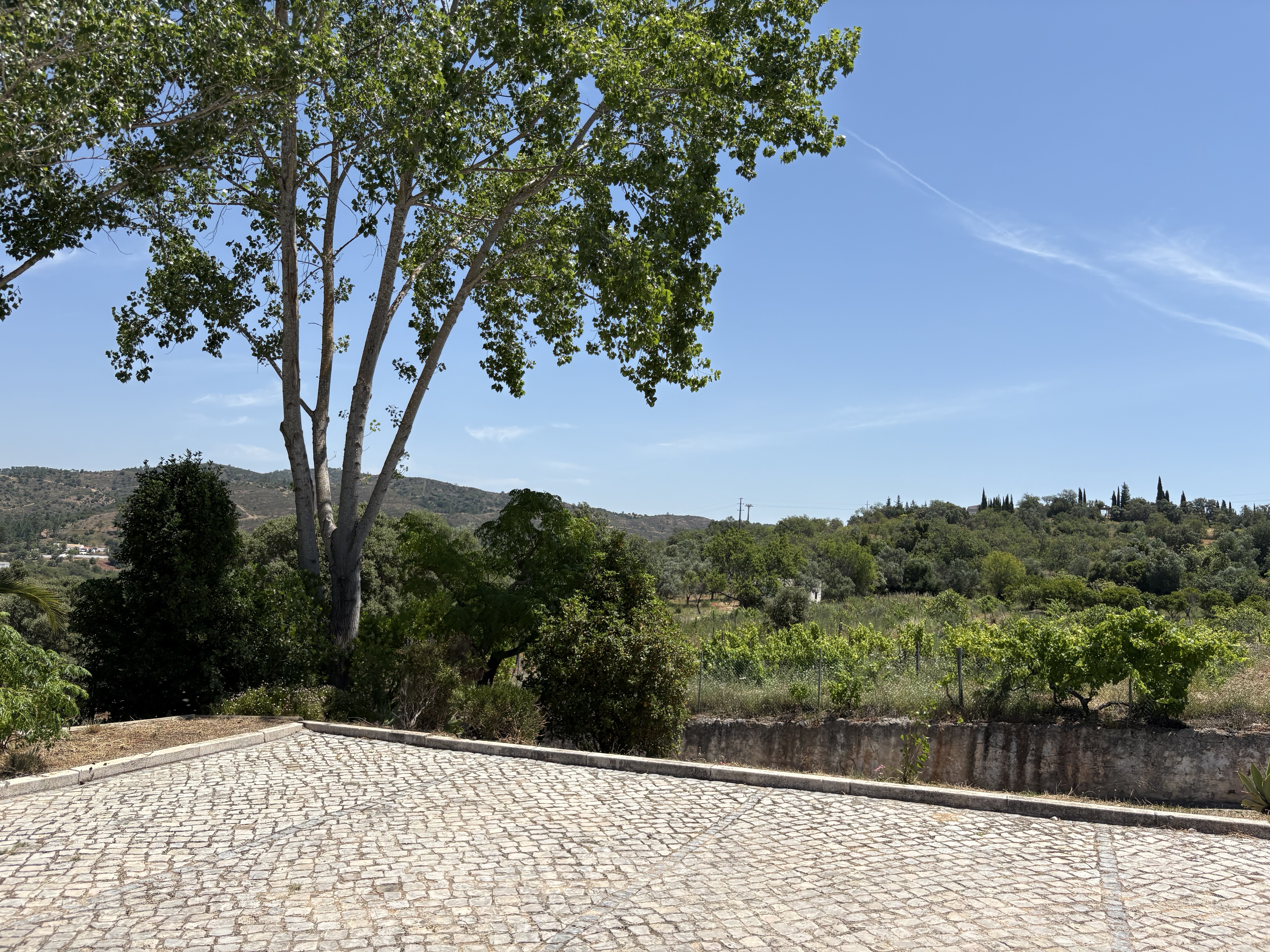
The Zona de Proteção Especial do Caldeirão covers a rugged, deeply creased schist mountain range in the southern interior of Portugal. Unlike the flat plains of the Alentejo to the north or the sandy beaches of the Algarve to the south, this area consists of a dense network of steep, round-topped hills and narrow, dry river valleys. The landscape is dominated by dense Mediterranean scrub, cork oak forests, and rockrose bushes, which release a strong, sweet resin scent under the sun. Walking here means navigating constant, short elevation changes rather than climbing high alpine peaks.
Read more
About Zona de Proteção Especial do Caldeirão
The Zona de Proteção Especial do Caldeirão covers a rugged, deeply creased schist mountain range in the southern interior of Portugal. Unlike the flat plains of the Alentejo to the north or the sandy beaches of the Algarve to the south, this area consists of a dense network of steep, round-topped hills and narrow, dry river valleys. The landscape is dominated by dense Mediterranean scrub, cork oak forests, and rockrose bushes, which release a strong, sweet resin scent under the sun. Walking here means navigating constant, short elevation changes rather than climbing high alpine peaks.
Read moreThe Zona de Proteção Especial do Caldeirão covers a rugged, deeply creased schist mountain range in the southern interior of Portugal. Unlike the flat plains of the Alentejo to the north or the sandy beaches of the Algarve to the south, this area consists of a dense network of steep, round-topped hills and narrow, dry river valleys. The landscape is dominated by dense Mediterranean scrub, cork oak forests, and rockrose bushes, which release a strong, sweet resin scent under the sun. Walking here means navigating constant, short elevation changes rather than climbing high alpine peaks.
Underfoot, the paths are primarily rough dirt tracks, loose shale, and stony firebreaks. There are no boardwalks or paved promenades inside the protected area. The vegetation is highly adapted to the dry climate, with the dark green of holm oaks contrasting against the grey-brown schist soils. In spring, particularly around April, the hillsides turn white and yellow with blooming rockrose and gorse, while by late summer the landscape takes on a parched, uniform bronze tone.
Watercourses in this area, known as ribeiras, are seasonal and often dry up completely, leaving stony beds of rounded river pebbles. Walkers should expect a quiet, working rural landscape where traditional cork harvesting is still visible on the stripped, reddish tree trunks. While the main dirt roads are wide and easy to follow, the smaller footpaths can be heavily overgrown with thorny brush, requiring careful navigation and sturdy footwear to negotiate the scratchy undergrowth.
Hiking routes in Zona de Proteção Especial do Caldeirão (28)

#1. 7 Fontes

#2. Águas Frias

#3. Amendoeira

#4. Ao Longo da Ribeira de Odelouca

#5. Azinhal dos Mouros

#6. Barranco das Lajes

#7. Barranco do Velho

#8. Barranco do Velho (Rota da Água)

#9. Cerros de Sobro

#10. Entre Vales Fontes e Memórias da Serra do Caldeirão

#11. Montes Novos





