


The best hiking routes in Zuidlaardermeergebied
Discover the best walks in Zuidlaardermeergebied. 26 routes on the map, with descriptions, photos and GPX.
Managed by Groninger Landschap;Stichting Het Drentse Landschap;het Meerschap;Waterschap Hunze en Aa's;Tynaarloo


About Zuidlaardermeergebied
The Zuidlaardermeergebied is a low-lying wetland basin shaped by the river Hunze, where open water, reed beds, and wet grasslands dominate the landscape. Unlike the dry pine forests and sandy dunes found further inland, this area is defined by its flat, waterlogged clay and peat soils. Walkers will find a distinct contrast between the wide, exposed dikes along the lake itself and the sheltered, muddy paths that wind through the willow scrub and marshy meadows.
Read more
About Zuidlaardermeergebied
The Zuidlaardermeergebied is a low-lying wetland basin shaped by the river Hunze, where open water, reed beds, and wet grasslands dominate the landscape. Unlike the dry pine forests and sandy dunes found further inland, this area is defined by its flat, waterlogged clay and peat soils. Walkers will find a distinct contrast between the wide, exposed dikes along the lake itself and the sheltered, muddy paths that wind through the willow scrub and marshy meadows.
Read moreThe Zuidlaardermeergebied is a low-lying wetland basin shaped by the river Hunze, where open water, reed beds, and wet grasslands dominate the landscape. Unlike the dry pine forests and sandy dunes found further inland, this area is defined by its flat, waterlogged clay and peat soils. Walkers will find a distinct contrast between the wide, exposed dikes along the lake itself and the sheltered, muddy paths that wind through the willow scrub and marshy meadows.
Underfoot, the terrain consists mostly of grassy dikes, unpaved clay tracks, and occasional wooden boardwalks designed to keep you above the wettest sections. Because the water levels are actively managed for bird conservation, many paths run alongside wide drainage ditches and shallow ponds. You will notice how the vegetation changes rapidly from dense reed walls to open, grazed pastures where cattle help maintain the short grass.
This is a prime destination for birdwatching rather than deep forest hiking. The shoreline and marshes are often busy with waterfowl, especially during the migration periods in April and October. While the main dikes near the marinas can be popular with local walkers, the grassy paths heading south along the Hunze riverbed offer a much quieter, more solitary experience.
Hiking routes in Zuidlaardermeergebied (26)

#1. De tien van Tynaarlo: Hunze en Veen
Kropswolde,De Groeve,Zuidlaarderveen,Zuidlaren


#2. Glimmen - Zuidlaren · Roots Natuurpad etappe 4
Midlaren,Noordlaren,Glimmen,Onnen

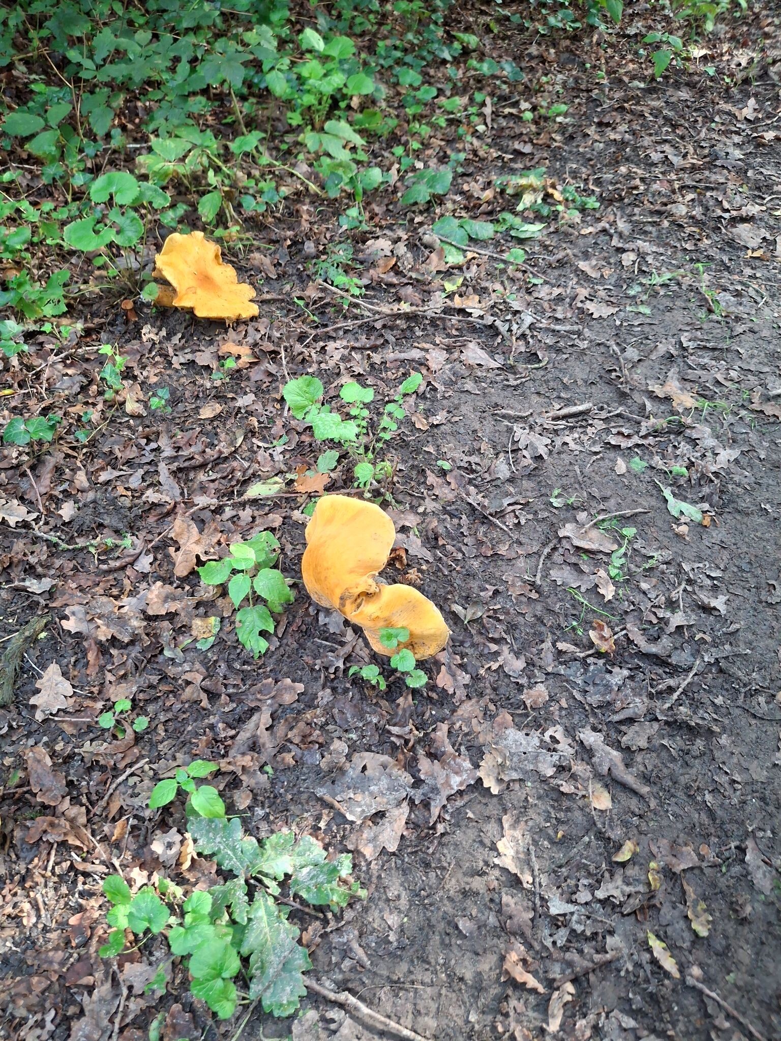
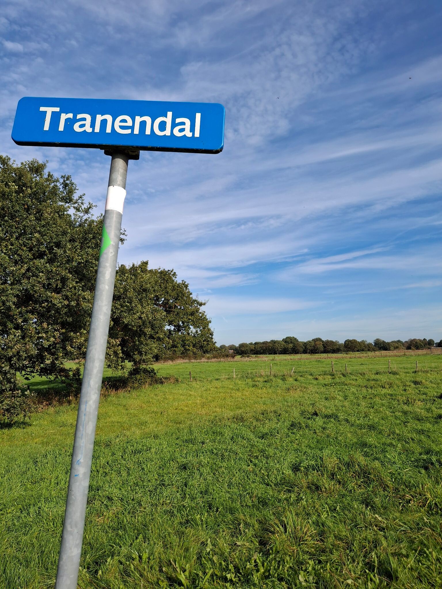
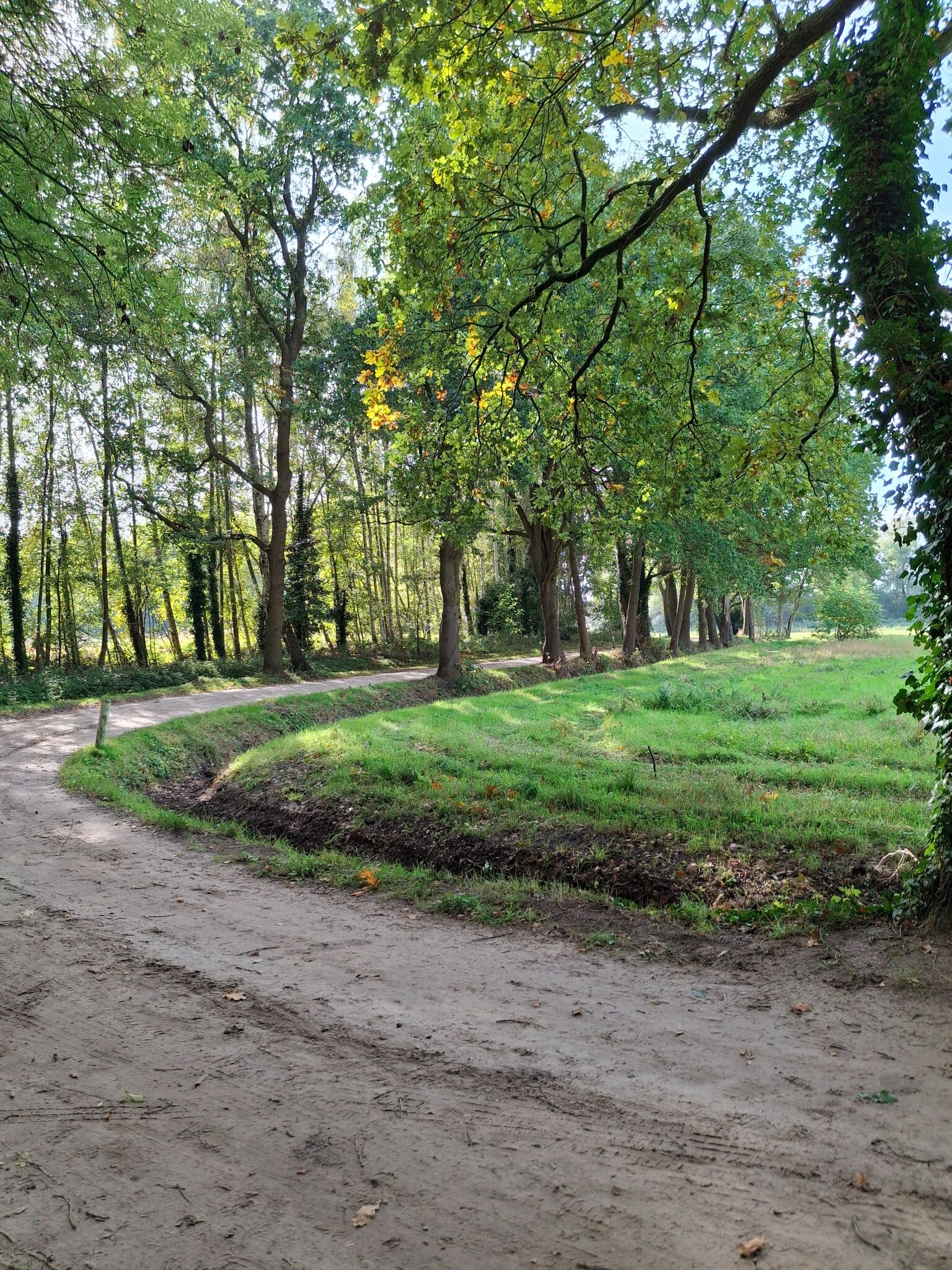
#3. Groningen - Zuidlaren · Pieterpad etappe 3
Groningen,Haren Gn,Glimmen,Onnen,Noordlaren,Midlaren,Zuidlaren


#4. Kolham - Glimmen · Roots Natuurpad etappe 3
Onnen,Glimmen,Haren Gn,Groningen,Westerbroek,Harkstede,Scharmer,Kolham


#5. Wandelroute Leinwijk
Kropswolde

#6. De tien van Tynaarlo: De Laren
Zuidlaren,De Groeve,Midlaren,Noordlaren
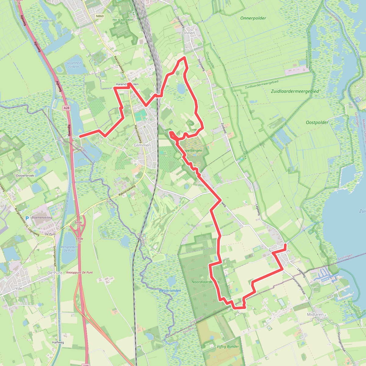
#7. Glimmen - Noordlaren * Groeningenpad Etappe 7
Glimmen,Onnen,Midlaren,Noordlaren


#8. Glimmen - Zuidlaren · Drenthepad etappe 10
Glimmen,Noordlaren,Midlaren,De Groeve,Zuidlaren

#9. Groene Parels - Aandacht voor Allure
Groningen,Haren Gn

#10. Groene Parels - Historie langs de Hondsrug
Haren Gn,Glimmen,Onnen,Noordlaren

#11. Groningen - Glimmen
Groningen,Haren,Glimmen

#12. Groningse 4daagse dag 4 - Zuid 30
Groningen,Haren,Paterswolde




