


The best hiking routes in Antola
Discover the best walks in Antola. 11 routes on the map, with descriptions, photos and GPX.
About Antola
Antola offers a transition between the coastal Apennines and the inland valleys, characterized by grassy, rounded ridges and steep, wooded slopes rather than jagged alpine peaks. Walkers here will find a landscape dominated by broad beech forests on the lower flanks, which open up to wide, high-altitude pastures as you gain elevation. The terrain is defined by these open meadows, where limestone outcrops occasionally break through the grass, showing the geological makeup of the region directly on the path.
Read more
About Antola
Antola offers a transition between the coastal Apennines and the inland valleys, characterized by grassy, rounded ridges and steep, wooded slopes rather than jagged alpine peaks. Walkers here will find a landscape dominated by broad beech forests on the lower flanks, which open up to wide, high-altitude pastures as you gain elevation. The terrain is defined by these open meadows, where limestone outcrops occasionally break through the grass, showing the geological makeup of the region directly on the path.
Read moreAntola offers a transition between the coastal Apennines and the inland valleys, characterized by grassy, rounded ridges and steep, wooded slopes rather than jagged alpine peaks. Walkers here will find a landscape dominated by broad beech forests on the lower flanks, which open up to wide, high-altitude pastures as you gain elevation. The terrain is defined by these open meadows, where limestone outcrops occasionally break through the grass, showing the geological makeup of the region directly on the path.
Underfoot, the trails vary from stony, uneven mule tracks in the forested valleys to soft, dirt paths across the grassy ridges. Because of the limestone geology, water drains quickly on the heights, meaning you will cross dry, exposed ridges where low shrubs and wildflowers dominate, contrasting with the damp, shaded forest floors below. In May, the high meadows are recognizable by the sudden flowering of wild narcissi, which briefly colors the open slopes.
This area is suited for those who prefer steady, moderate climbing on clear paths over technical scrambling. While the main ridge routes can be busier on weekends with local hikers, the side valleys remain quiet and see far fewer visitors. There are no dramatic gorges or permanent snowfields, but the contrast between the dense canopy and the open, grassy summits provides a clear sense of changing elevation over relatively short distances.
Hiking routes in Antola (11)
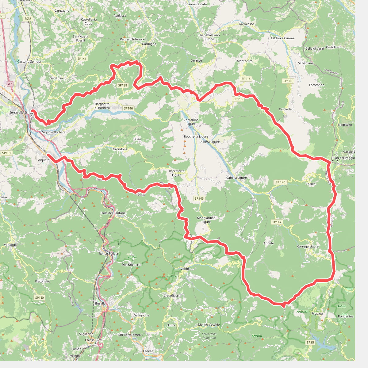
#1. Anello Borbera - Spinti
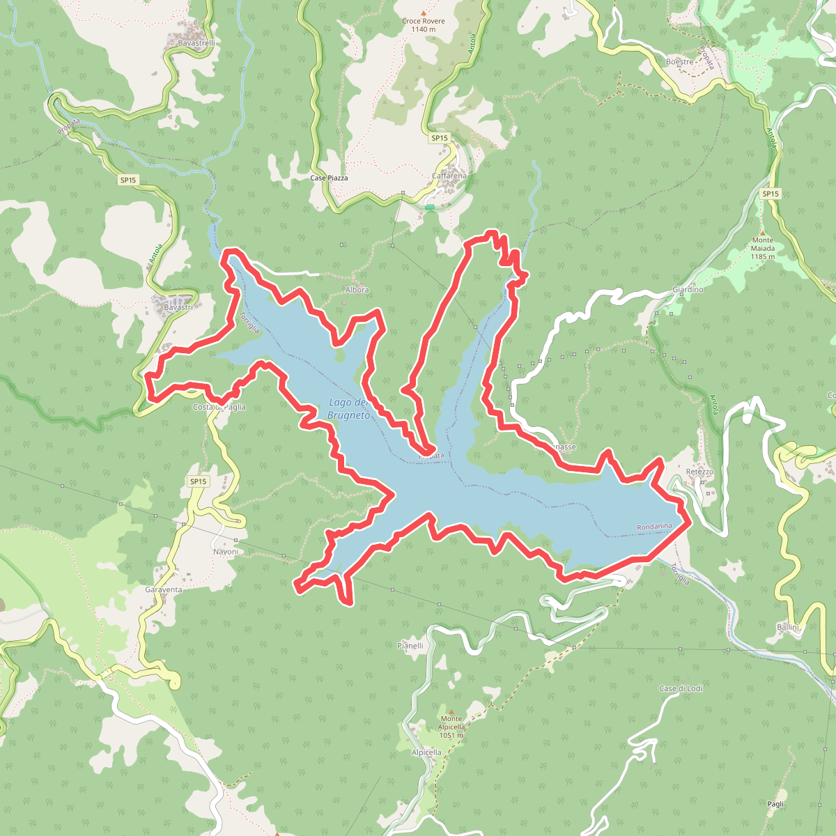
#2. Anello del Brugneto
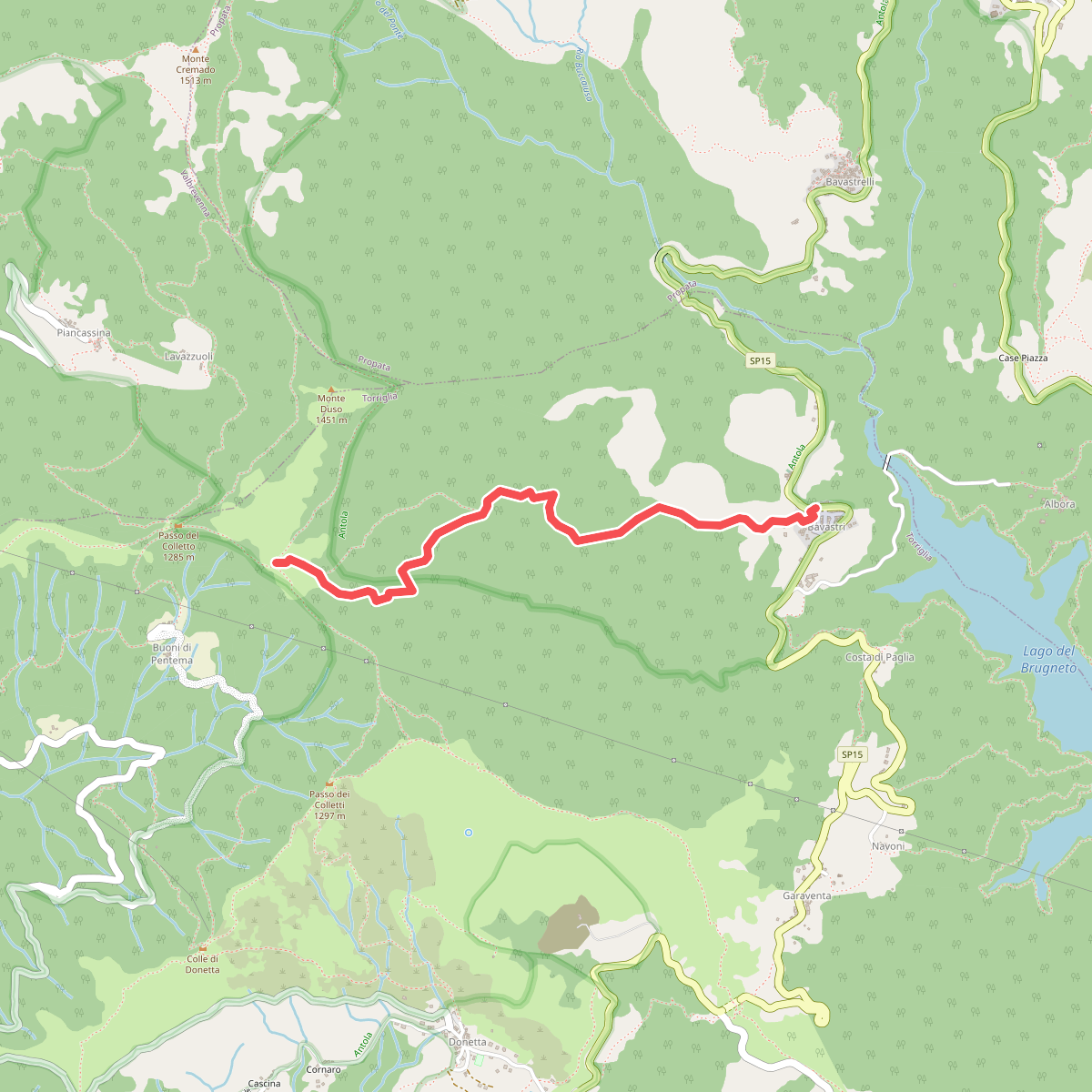
#3. Bavastri - Passo del Colletto
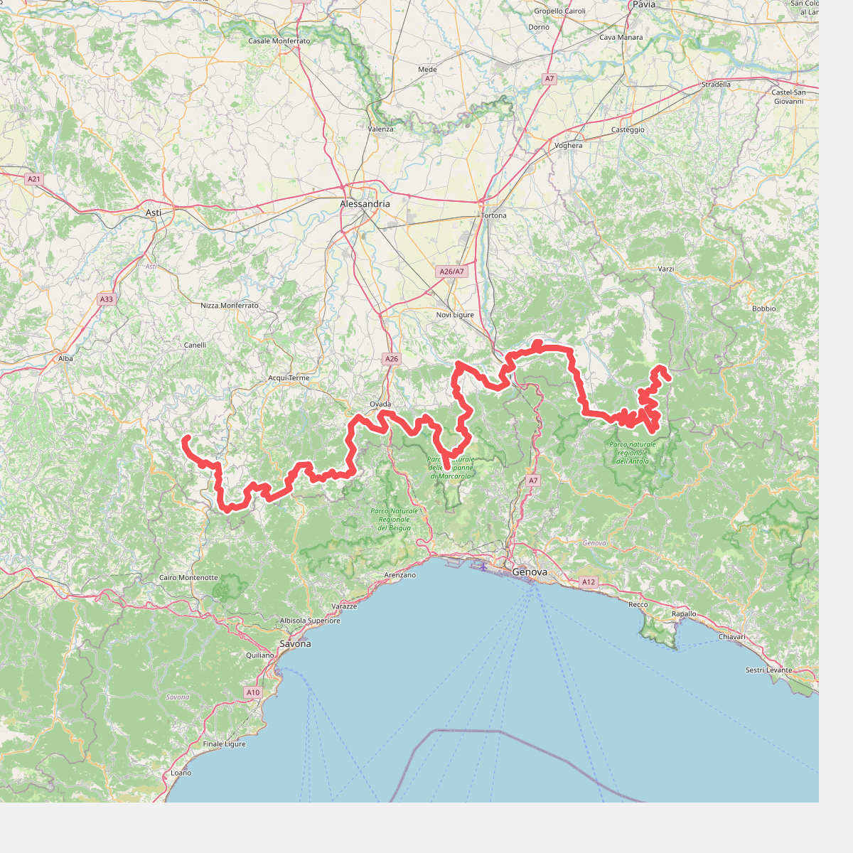
#4. Cammino Piemonte Sud
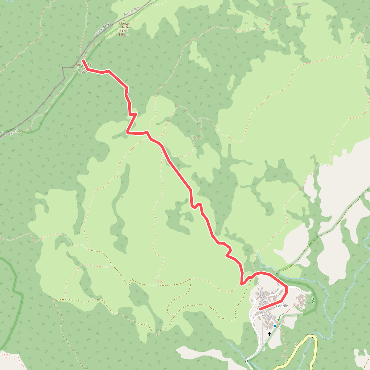
#5. Caprile - Passo delle Tre Croci
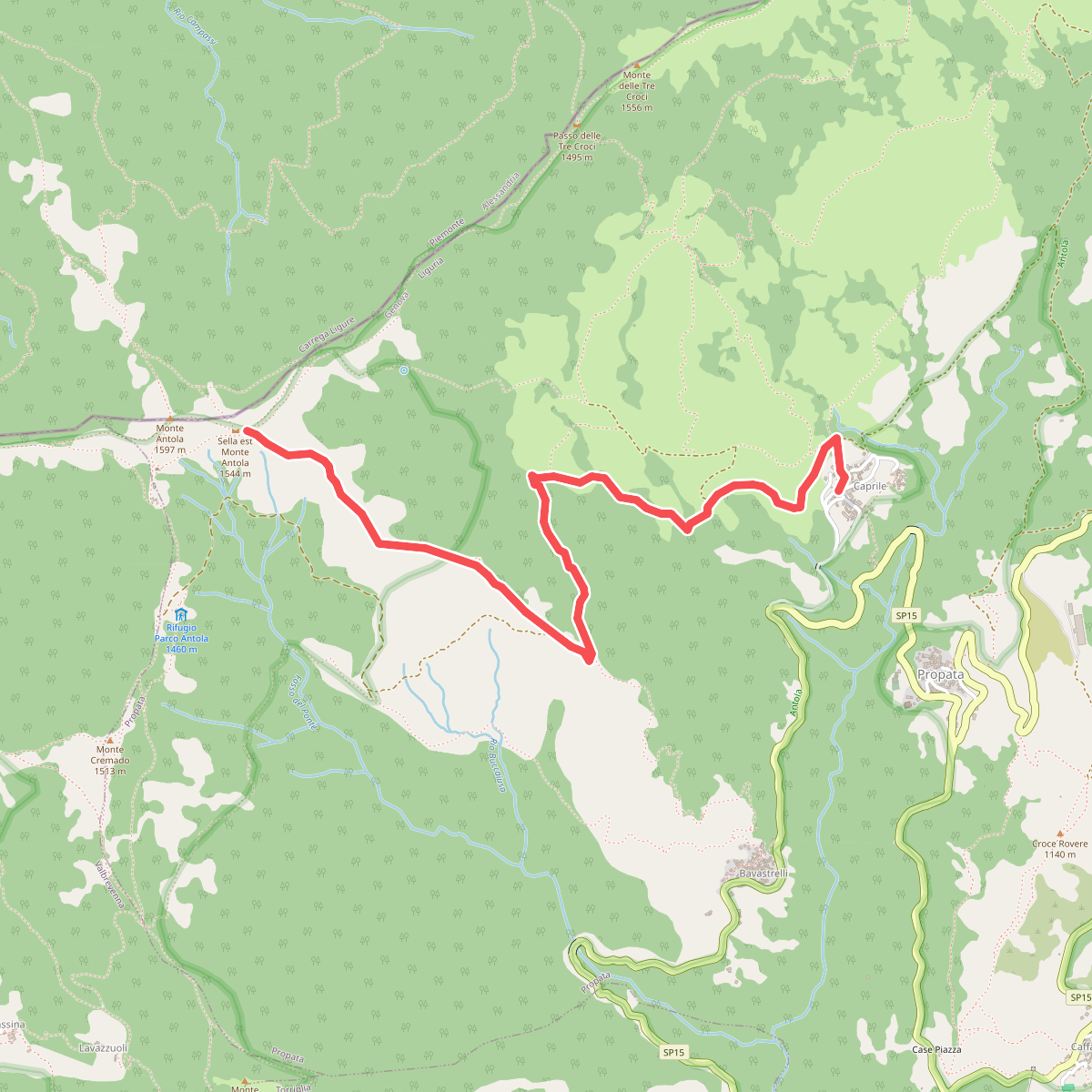
#6. Caprile - Sella Est Monte Antola
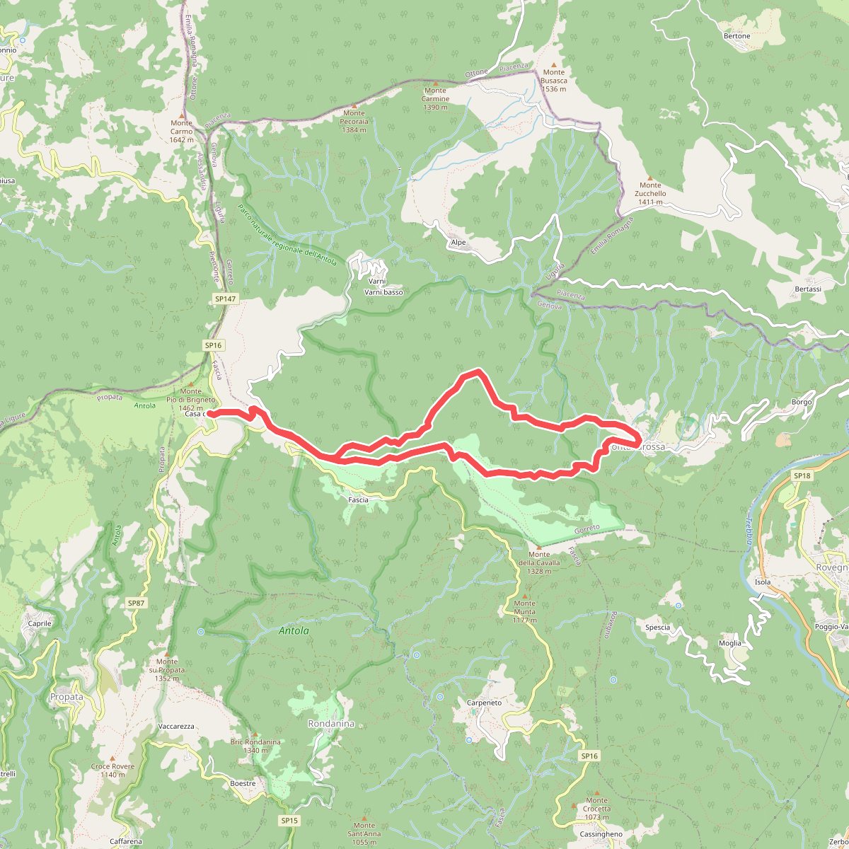
#7. Casa del Romano - Fontanarossa - Casa del Romano
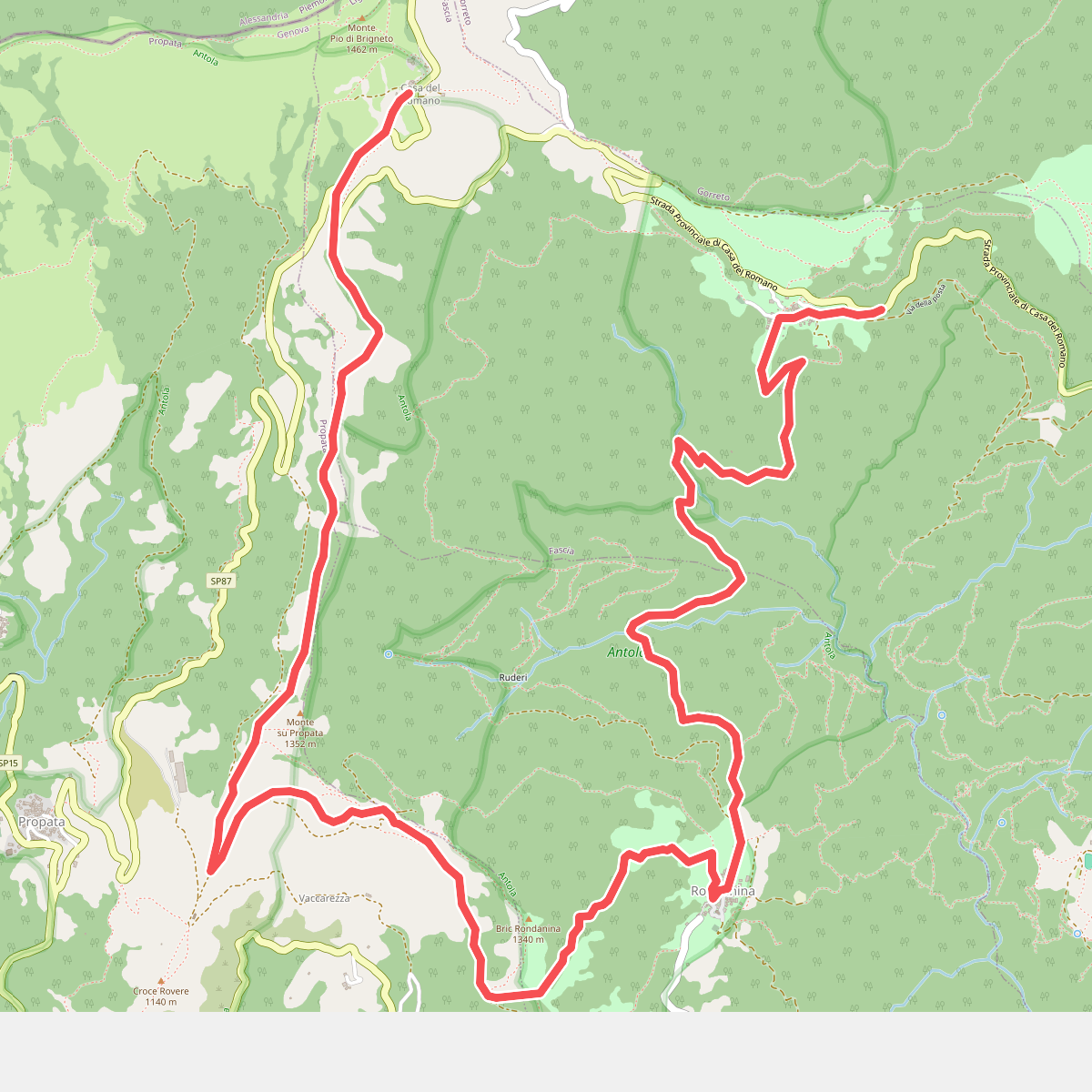
#8. Fascia – Rondanina-Casa del Romano

#9. Ippovia Antola sud
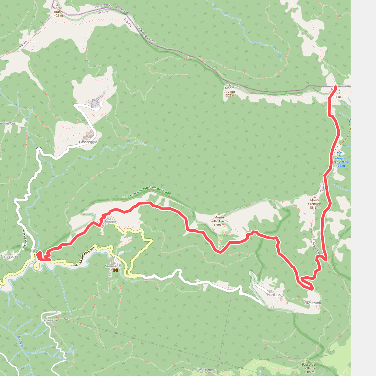
#10. Molino del Fullo - Monte Antola
Carrega Ligure,Propata





