


The best hiking routes in Eilandspolder
Discover the best walks in Eilandspolder. 13 routes on the map, with descriptions, photos and GPX.
Managed by Staatsbosbeheer;Noord-Hollands Landschap

About Eilandspolder
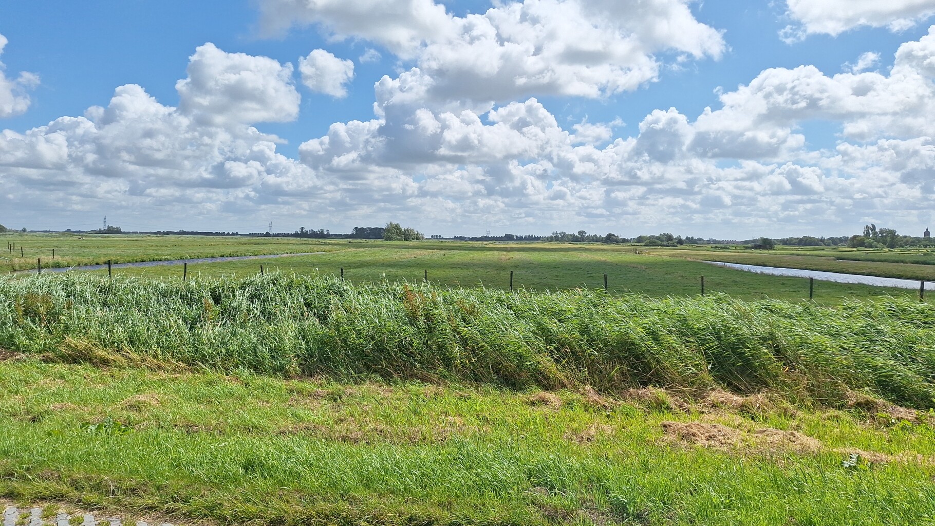
The Eilandspolder is a low-lying peat polder landscape situated between the higher ground of historical dikes. Unlike the vast, dry agricultural plains nearby, this area is a dense network of narrow ditches, wet grasslands, and reed beds. The landscape sits below sea level, which you will notice as you walk along the elevated grassy dikes that offer views down onto the wet fields. It is a working agricultural landscape that also serves as a critical wetland habitat, meaning you will see cows grazing alongside nesting meadow birds.
Read more
About Eilandspolder
The Eilandspolder is a low-lying peat polder landscape situated between the higher ground of historical dikes. Unlike the vast, dry agricultural plains nearby, this area is a dense network of narrow ditches, wet grasslands, and reed beds. The landscape sits below sea level, which you will notice as you walk along the elevated grassy dikes that offer views down onto the wet fields. It is a working agricultural landscape that also serves as a critical wetland habitat, meaning you will see cows grazing alongside nesting meadow birds.
Read moreThe Eilandspolder is a low-lying peat polder landscape situated between the higher ground of historical dikes. Unlike the vast, dry agricultural plains nearby, this area is a dense network of narrow ditches, wet grasslands, and reed beds. The landscape sits below sea level, which you will notice as you walk along the elevated grassy dikes that offer views down onto the wet fields. It is a working agricultural landscape that also serves as a critical wetland habitat, meaning you will see cows grazing alongside nesting meadow birds.
Walking here is defined by the water. There are very few paved paths through the core of the reserve; instead, the routes follow grassy dikes, clay tracks, and occasionally require self-operated foot ferries to cross the channels. The ground underfoot is soft peat and clay, which feels bouncy but can be uneven. If you prefer solid gravel or asphalt, your options will be limited to the quiet paved roads connecting the historic ring villages like De Rijp and Noordeinde on the edges of the polder.
This area is not a woodland or a dry heathland. There are virtually no trees inside the polder, leaving the landscape entirely open to the elements. In April and May, the grasslands are vibrant with wildflowers and active birdlife, while the winter months bring a starker, grey landscape of flooded fields. It is a quiet, agricultural wetland where the main sounds are bird calls and the wind, rather than a manicured park with tourist facilities.
Hiking routes in Eilandspolder (13)
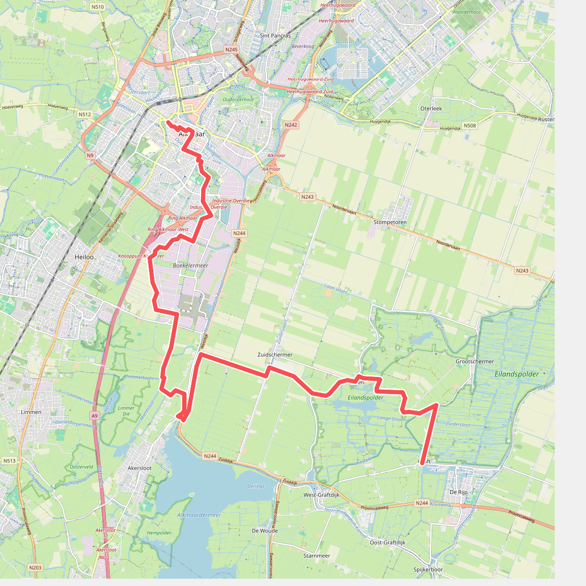
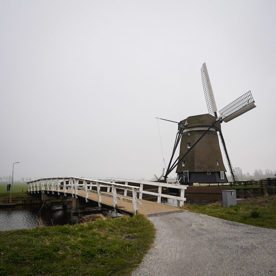
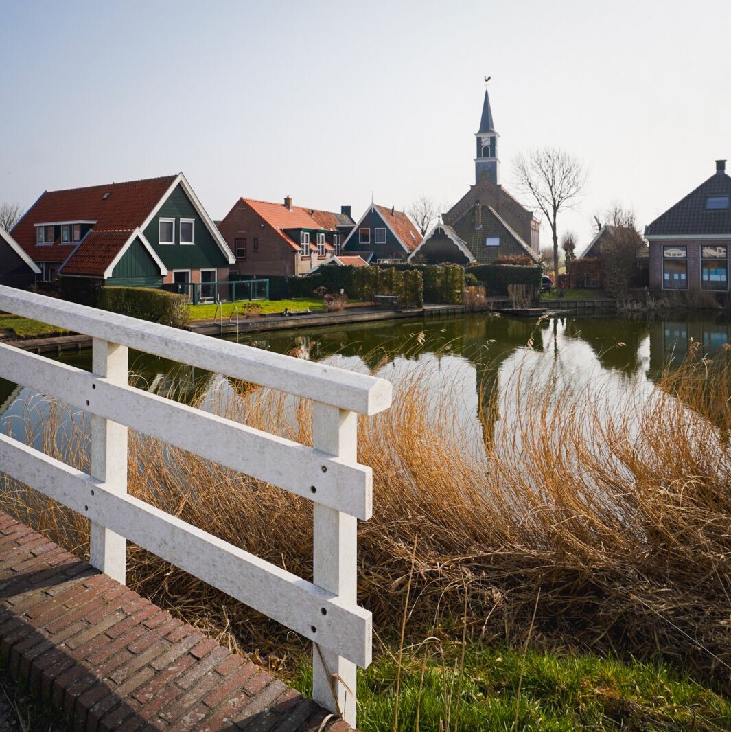
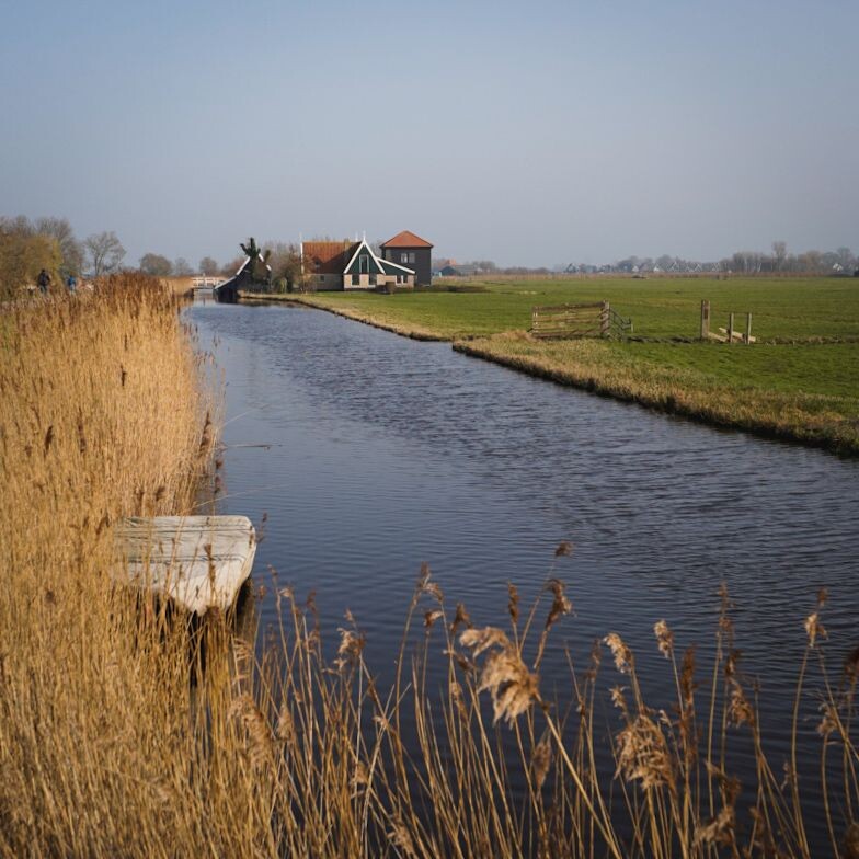
#1. Alkmaar - Graft · Trekvogelpad etappe 2
Alkmaar,Castricum,Driehuizen,Graft
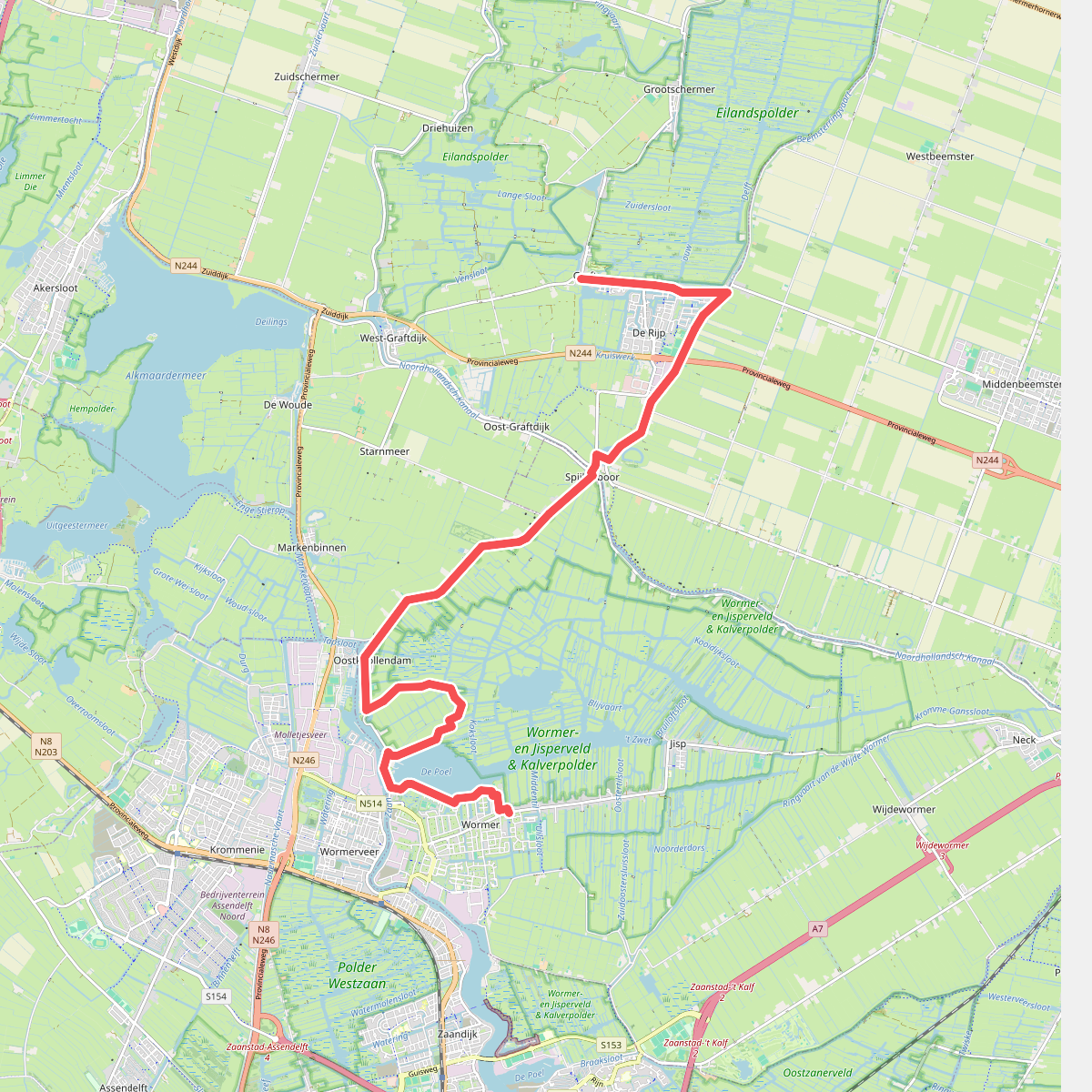


#2. Graft - Wormer · Trekvogelpad etappe 3
Graft,De Rijp,Starnmeer,Markenbinnen,Wormerveer,Oostknollendam,Wormer
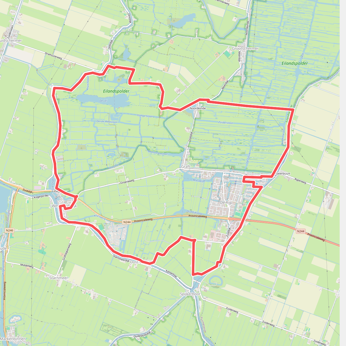
#3. Eilandspolder
De Rijp,Starnmeer,Oost-Graftdijk,West-Graftdijk,Zuidschermer,Driehuizen,Noordeinde,Graft,Grootschermer
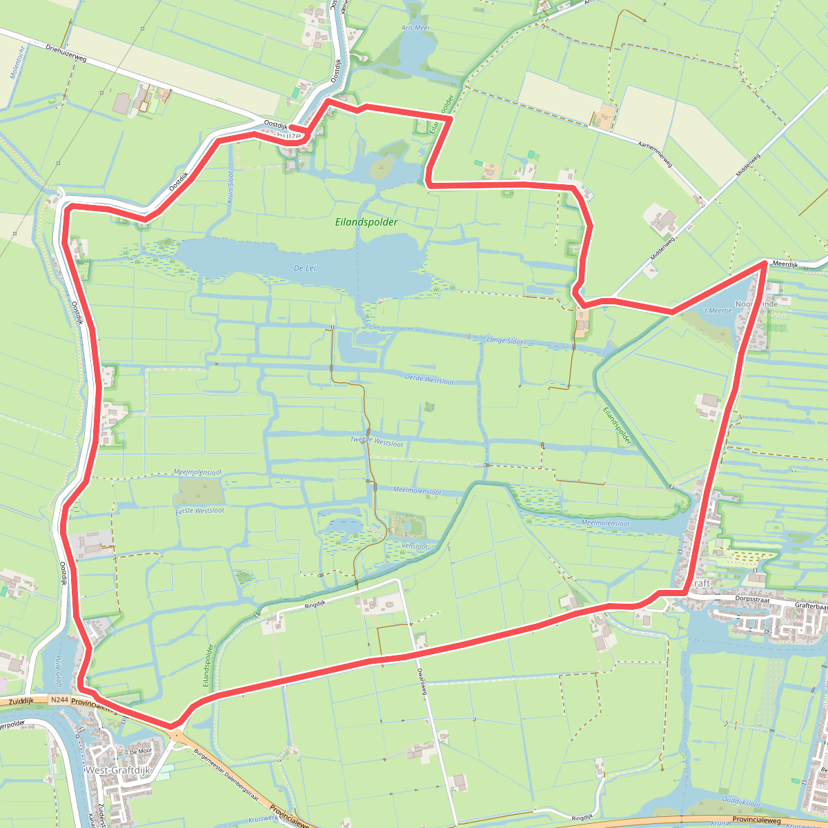
#4. Grafterroute (rood)
Driehuizen,Graft,Grootschermer,West-Graftdijk,Zuidschermer
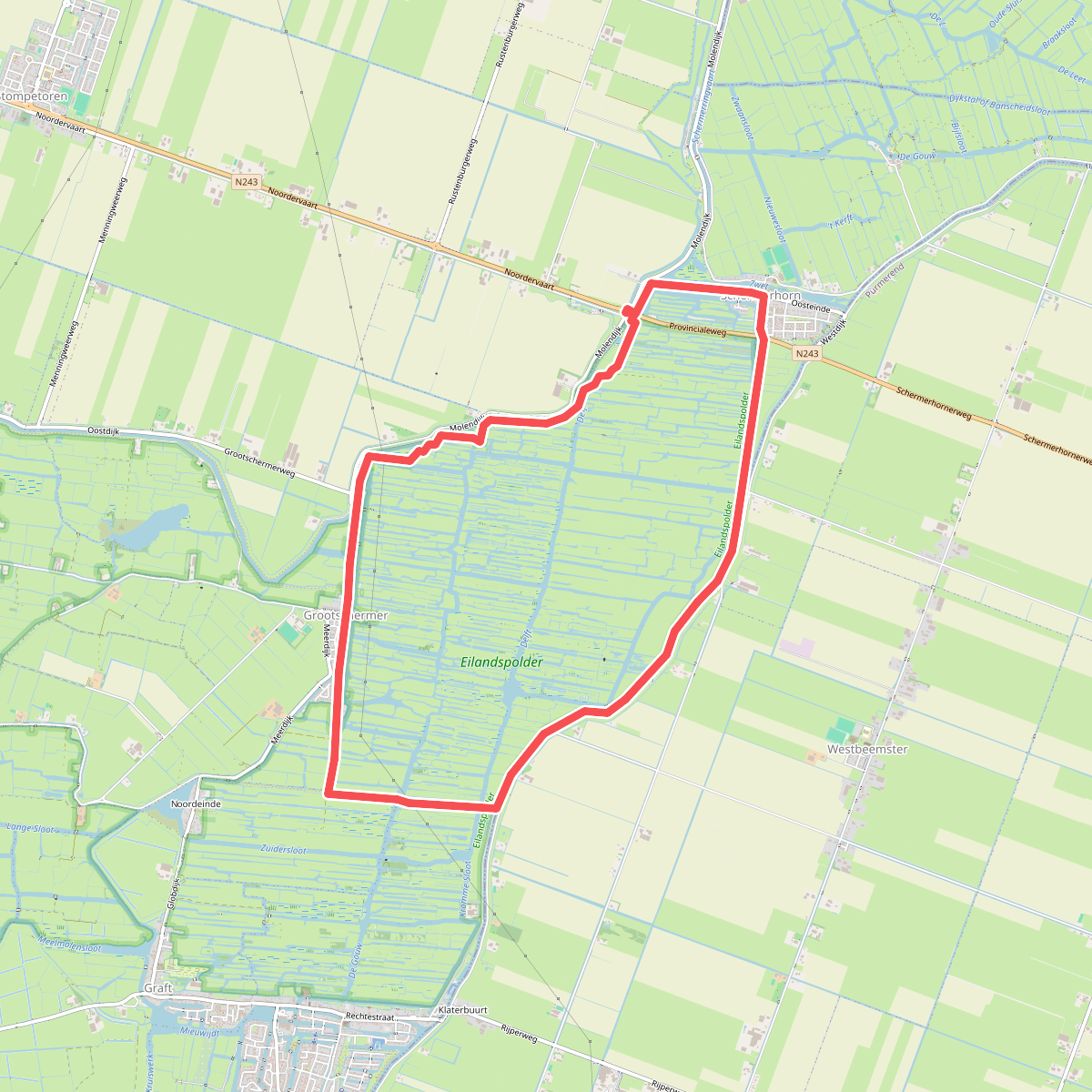
#5. Grootschermerroute
Grootschermer,Noordeinde,Westbeemster,Noordbeemster,Schermerhorn
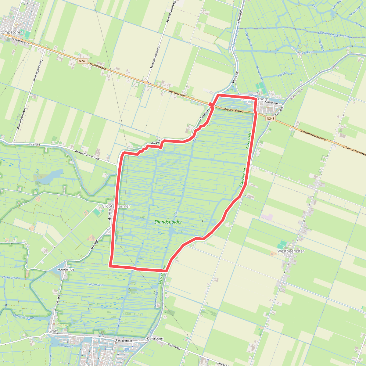
#6. Grootschermerroute (geel)
Schermerhorn,Noordbeemster,Westbeemster,Grootschermer,Noordeinde
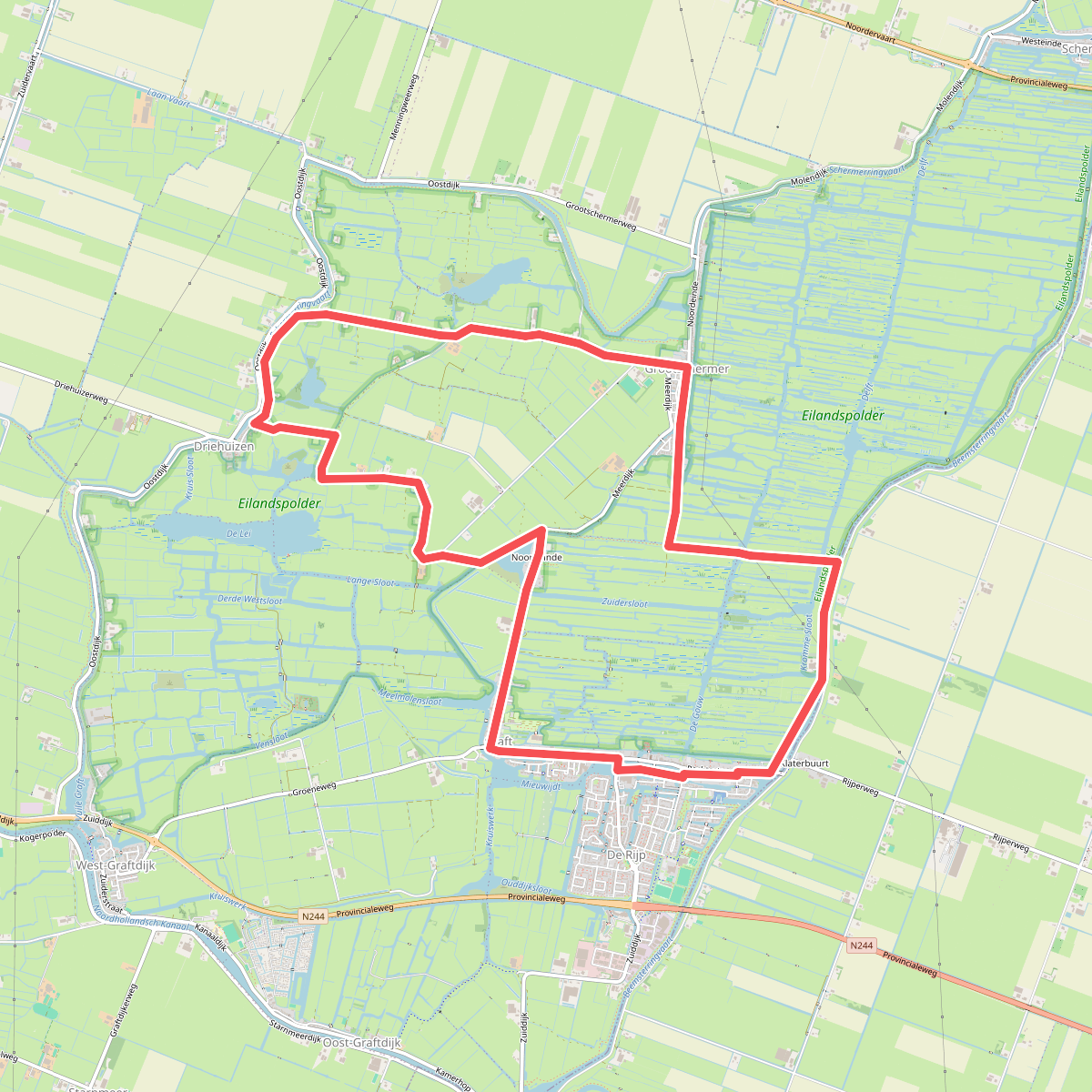
#7. Haring- & Henneproute / Kerkepad
De Rijp,Graft,Grootschermer,Noordeinde,Driehuizen
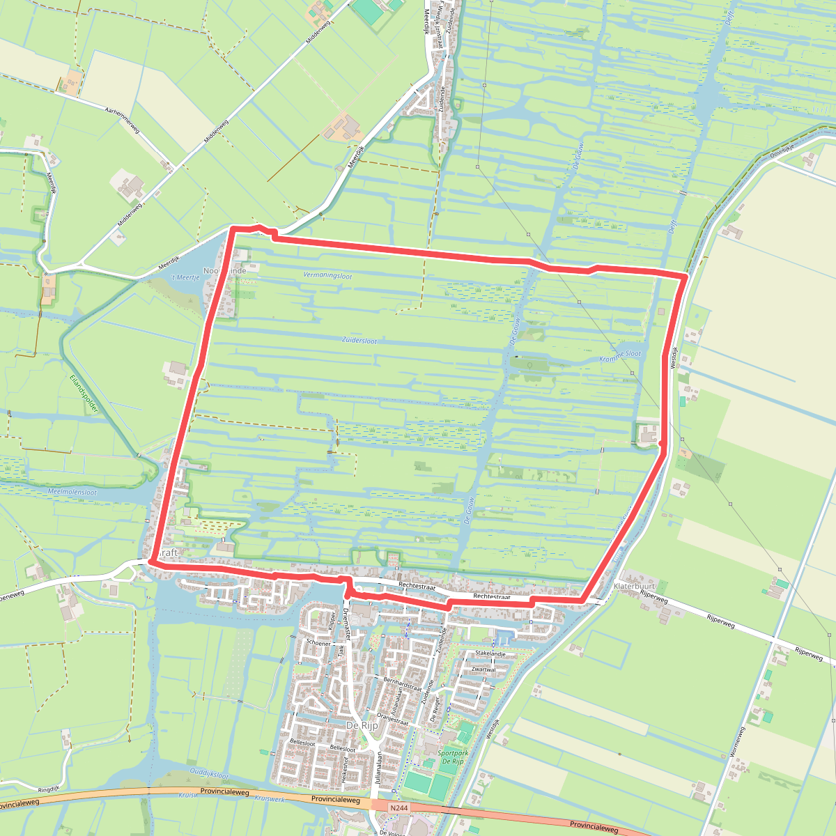
#8. Ommetje Eilandspolder (blauw)
De Rijp,Grootschermer,Graft
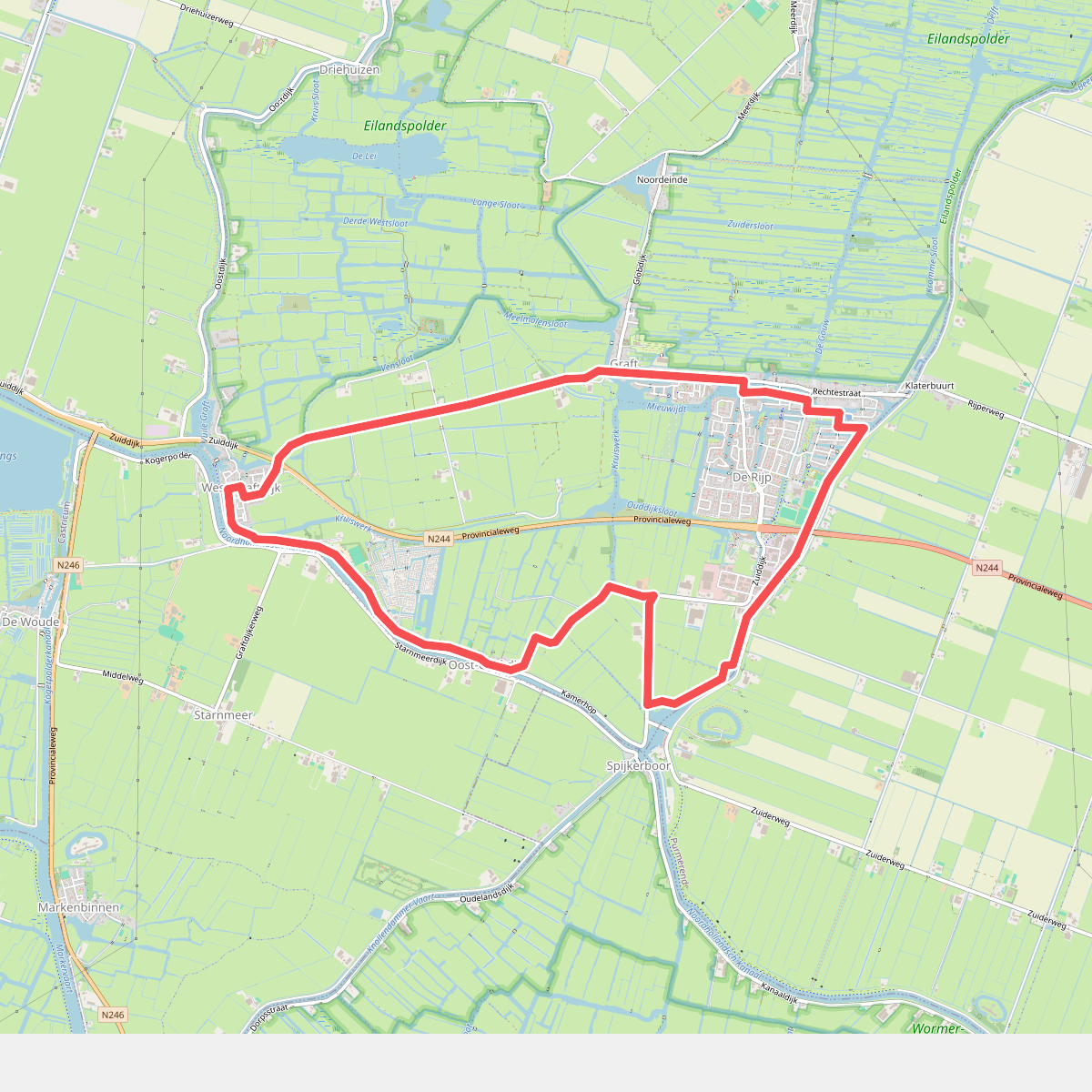
#9. Ommetje Graft- De Rijp (groen)
De Rijp,Starnmeer,Oost-Graftdijk,West-Graftdijk,Graft
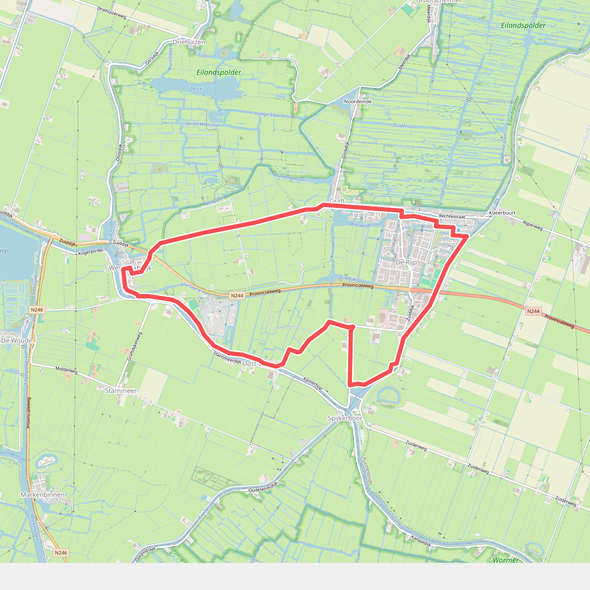
#10. Ommetje Graft-de Rijp (groen)
De Rijp,Graft,West-Graftdijk,Oost-Graftdijk
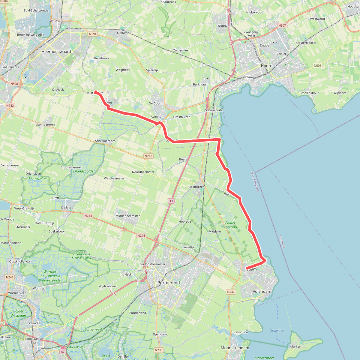
#11. Rustenburg naar Edam
Ursem,Avenhorn,Oudendijk,Oosthuizen,Warder,Edam
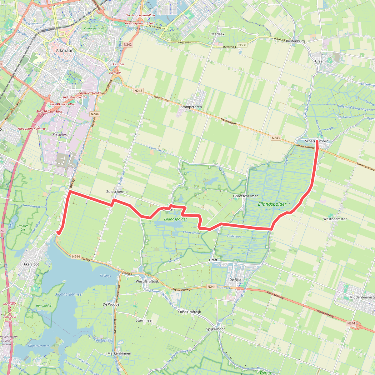
#12. Schermerhorn - Akersloot · Noord-Hollandpad etappe 10
Akersloot,Heiloo,Zuidschermer,West-Graftdijk,Driehuizen,Noordeinde,Graft,Westbeemster,Noordbeemster,Schermerhorn




