The best hiking routes in Forêt de Saoû
Discover the best walks in Forêt de Saoû. 2 routes on the map, with descriptions, photos and GPX.
Managed by Département de la Drôme
About Forêt de Saoû
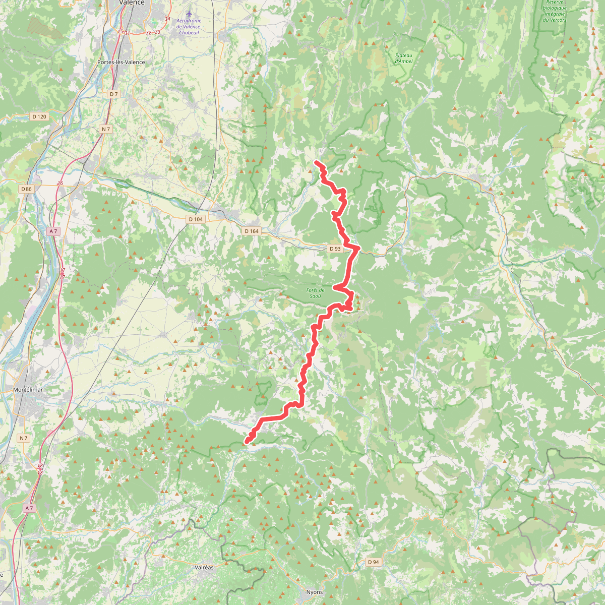
The Forêt de Saoû is a distinct geological formation known as a perched syncline, creating a natural limestone bowl enclosed by high rock ramparts. Unlike the open valleys of the Drôme, this enclosed basin functions as a sheltered forest clearing. Walkers will find a sharp contrast between the dry, sunny limestone cliffs of the outer rim and the damp, shaded beech and oak woods that cover the basin floor. This topography means you are either climbing steep, rocky paths to reach the ridge line or walking along the flatter, dirt tracks that follow the Vèbre stream at the bottom.
Read more
About Forêt de Saoû
The Forêt de Saoû is a distinct geological formation known as a perched syncline, creating a natural limestone bowl enclosed by high rock ramparts. Unlike the open valleys of the Drôme, this enclosed basin functions as a sheltered forest clearing. Walkers will find a sharp contrast between the dry, sunny limestone cliffs of the outer rim and the damp, shaded beech and oak woods that cover the basin floor. This topography means you are either climbing steep, rocky paths to reach the ridge line or walking along the flatter, dirt tracks that follow the Vèbre stream at the bottom.
Read moreThe Forêt de Saoû is a distinct geological formation known as a perched syncline, creating a natural limestone bowl enclosed by high rock ramparts. Unlike the open valleys of the Drôme, this enclosed basin functions as a sheltered forest clearing. Walkers will find a sharp contrast between the dry, sunny limestone cliffs of the outer rim and the damp, shaded beech and oak woods that cover the basin floor. This topography means you are either climbing steep, rocky paths to reach the ridge line or walking along the flatter, dirt tracks that follow the Vèbre stream at the bottom.
Underfoot, the terrain transitions from soft forest loam and leaf litter under the canopy to loose limestone scree and exposed bedrock on the higher trails. The ascent to the highest point, Les Trois Becs, requires navigating steep, stony paths where footing can be uneven. In the lower forest, wide forestry tracks provide straightforward walking, though they can become muddy near the stream beds after wet weather.
This is not a high-alpine environment with glaciers, nor is it a flat woodland. It is a self-contained limestone basin where the vegetation changes rapidly with elevation and sun exposure. The central forest is often quieter, while the access points near the village of Saoû and the trails leading up to the prominent peaks of the ridge are well-known spots that see more foot traffic.