


The best hiking routes in Gelderse Poort
Discover the best walks in Gelderse Poort. 28 routes on the map, with descriptions, photos and GPX.



About Gelderse Poort
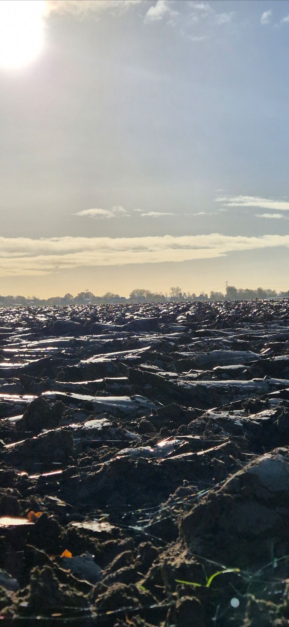
Gelderse Poort is a river landscape shaped by the Rhine where it enters the Netherlands. Unlike the dry pine forests of nearby sandy regions, this area consists of dynamic floodplains, clay soils, and river dunes. The landscape is defined by its openness and the active influence of water, which means you will walk on a mix of unpaved clay tracks, sandy riverbanks, and grassy dikes rather than gravel paths or forest litter. It is a working river delta where nature restoration projects have allowed high-water channels and side arms to develop freely.
Read more
About Gelderse Poort
Gelderse Poort is a river landscape shaped by the Rhine where it enters the Netherlands. Unlike the dry pine forests of nearby sandy regions, this area consists of dynamic floodplains, clay soils, and river dunes. The landscape is defined by its openness and the active influence of water, which means you will walk on a mix of unpaved clay tracks, sandy riverbanks, and grassy dikes rather than gravel paths or forest litter. It is a working river delta where nature restoration projects have allowed high-water channels and side arms to develop freely.
Read moreGelderse Poort is a river landscape shaped by the Rhine where it enters the Netherlands. Unlike the dry pine forests of nearby sandy regions, this area consists of dynamic floodplains, clay soils, and river dunes. The landscape is defined by its openness and the active influence of water, which means you will walk on a mix of unpaved clay tracks, sandy riverbanks, and grassy dikes rather than gravel paths or forest litter. It is a working river delta where nature restoration projects have allowed high-water channels and side arms to develop freely.
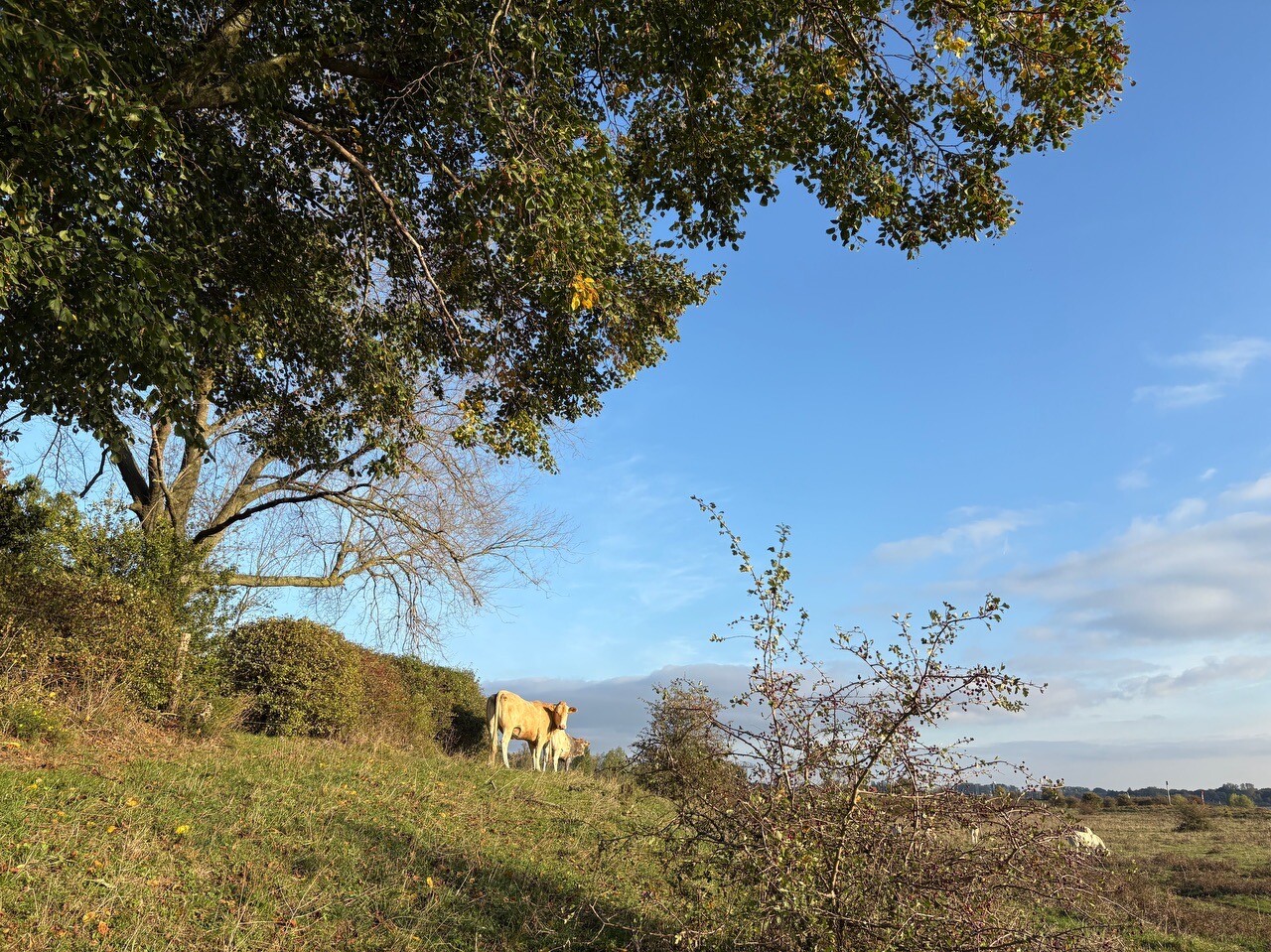
Walking here means navigating a terrain shared with free-roaming Konik horses and Galloway cattle, which keep the grassy floodplains open. In late spring, around May, the clay soils produce a dense cover of wild flowers, while the winter months show a starker landscape of bare willows and exposed sandbars. The paths are often rough and uneven, requiring sturdy footwear to handle the sticky river clay and the sandy stretches along the river beaches.
This area is not a place for those seeking deep forests or quiet heathlands. It is a flat, exposed riverine environment where the main elements are water, grass, and willow scrub. While the dikes offer elevated views over the shipping lanes, the lower paths bring you directly into the marshy shores and secondary channels. It is a landscape of constant movement, where the path underfoot changes depending on how the river has deposited sand and silt during the previous high-water periods.
Hiking routes in Gelderse Poort (28)
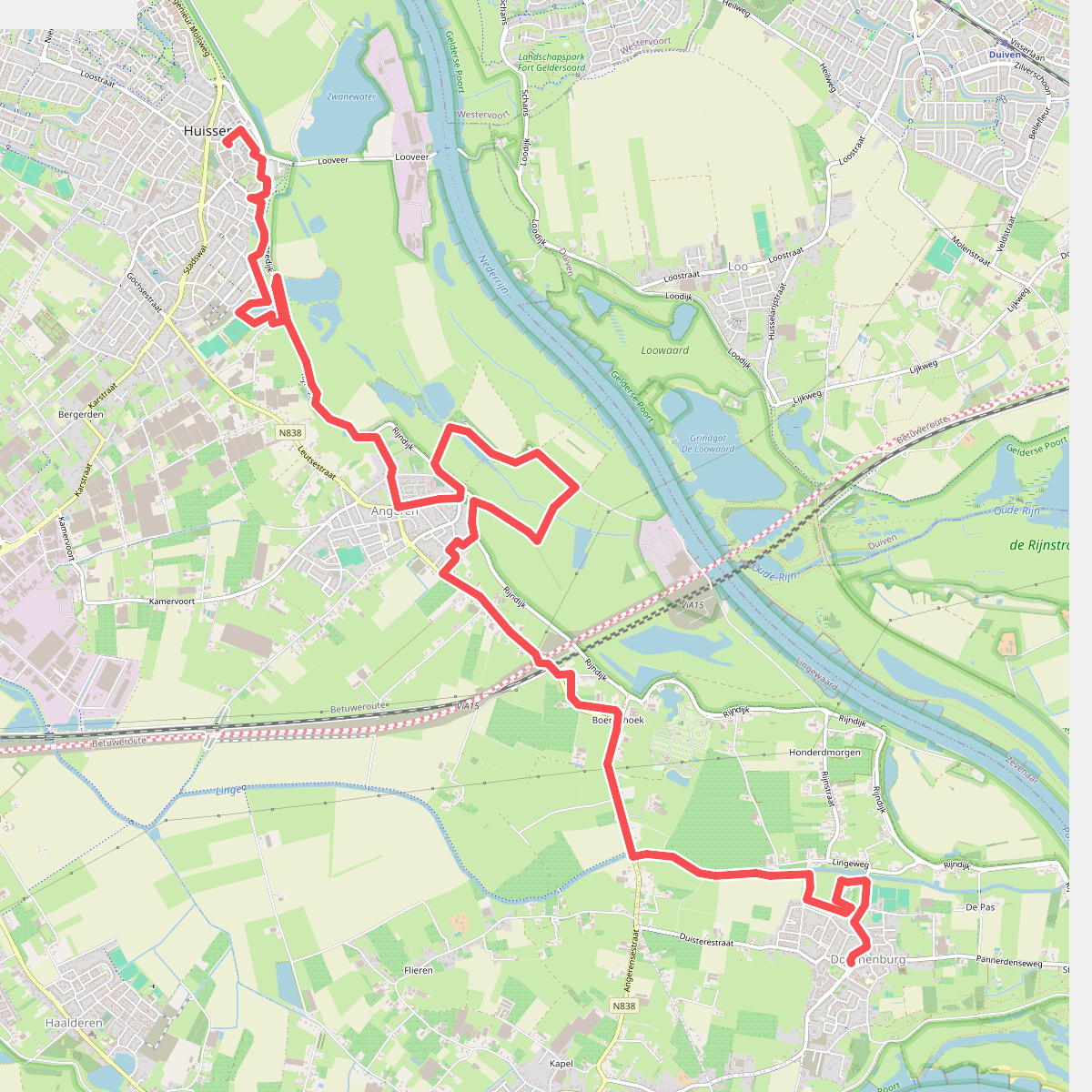


#1. Huissen- Doornenburg · Wegen met Zegen etappe 8
Doornenburg,Angeren,Huissen
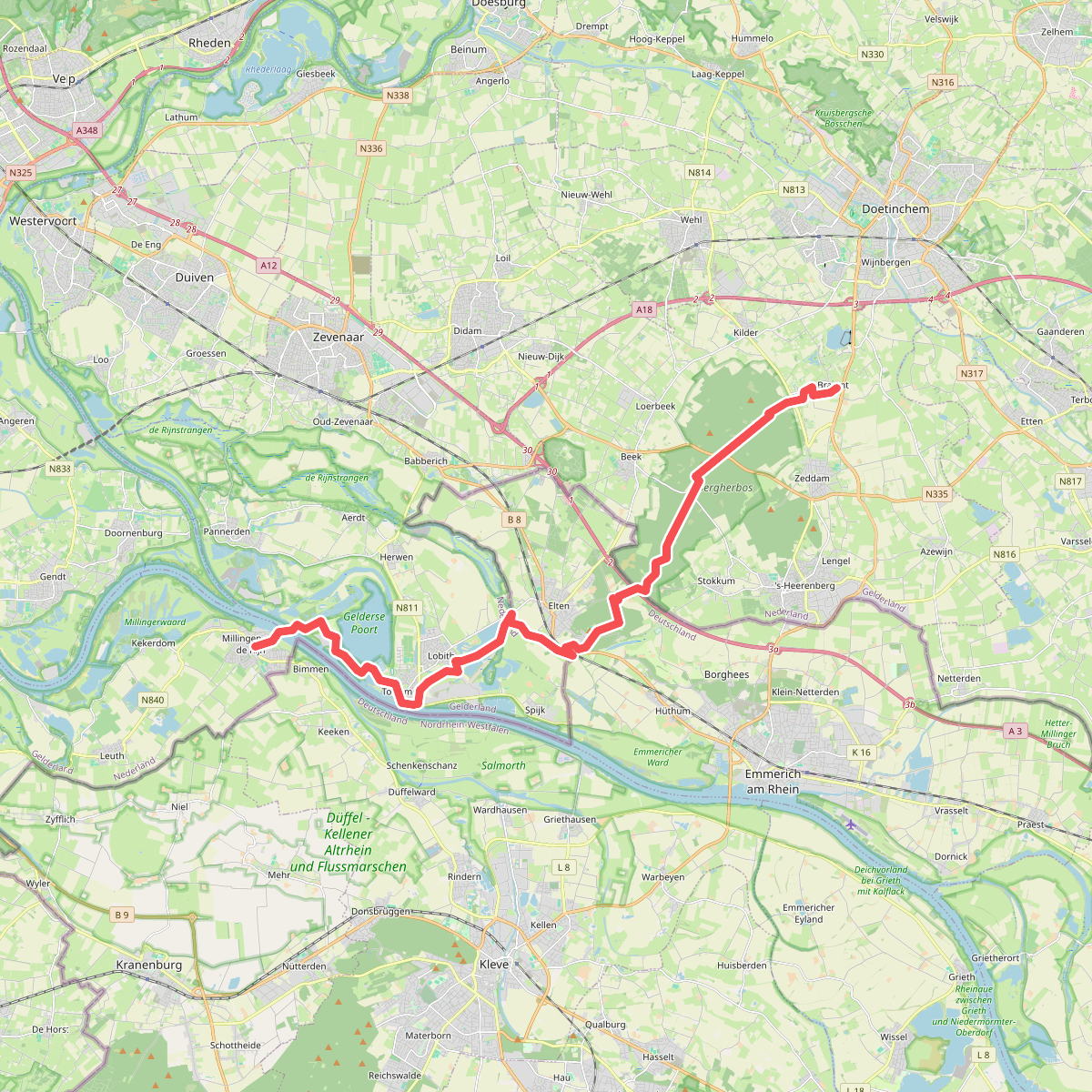
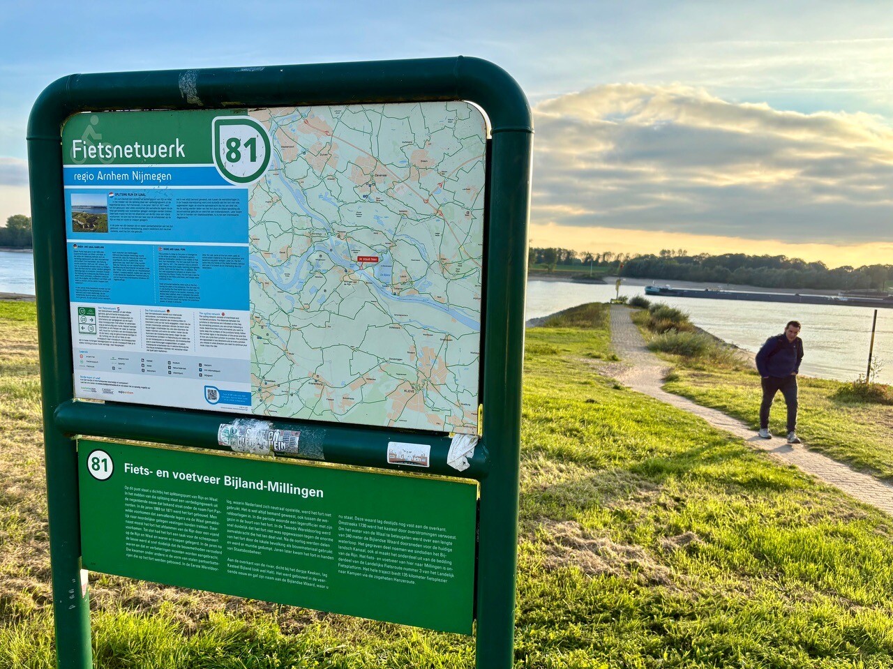
#2. Braamt - Millingen · Pieterpad etappe 16
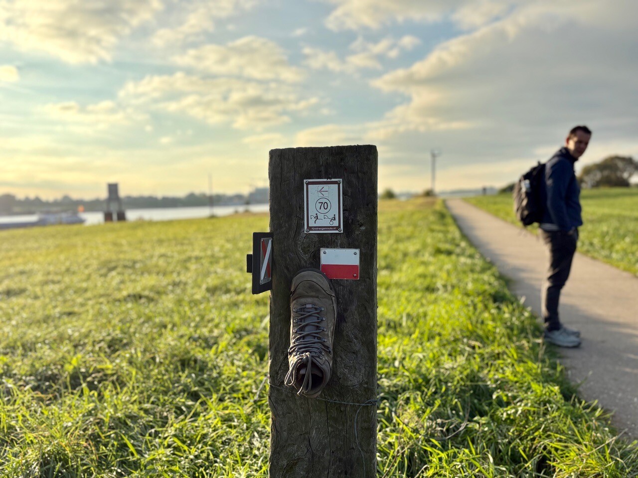
Braamt,Beek,Stokkum,Spijk,Lobith,Tolkamer,Millingen aan de Rijn

#3. 20.7 km
Duiven,Velp,Arnhem,Westervoort

#4. 25km arnhem
Huissen,Arnhem

#5. Aerdt - Braamt · Wandelroute van A tot Z etappe 10
Aerdt,Babberich,Zevenaar,Beek,Braamt

#6. Arnhem - Aerdt · Wandelroute van A tot Z etappe 9
Arnhem,Huissen,Loo Gld,Westervoort,Groessen,Pannerden,Doornenburg,Aerdt

#7. Babberich Babborgapad(Kp)
Babberich


#8. Betburg Wandeltocht
Georganiseerde wandeltocht, die ook zelfstandig te lopen is. Leuke afwisselende route, waarbij je steeds de grens NL-DL overgaat. De orga...
Babberich,Emmerich am Rhein
#9. Herwen Bijland
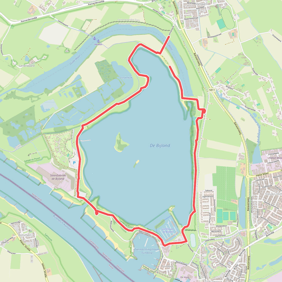
Tolkamer,Herwen


#10. Husloapad Groessen
Groessen,Loo Gld,Westervoort,Duiven


#11. Kandiapad
Groessen,Zevenaar,Pannerden,Duiven

#12. Klompenpad: Pannerdensche Waardpad
Doornenburg,Pannerden,Groessen,Zevenaar




