


The best hiking routes in Grevelingen
Discover the best walks in Grevelingen. 29 routes on the map, with descriptions, photos and GPX.
Managed by Staatsbosbeheer;Rijkswaterstaat;Zuidhollands Landschap


About Grevelingen
Grevelingen is a former North Sea estuary that was closed off by dams, transforming it into the largest saltwater lake in Western Europe. For a walker, this means a landscape dominated by vast brackish waters, tidal flats that no longer flood, and young woodlands planted on sandy soils. The area lacks the high, rolling dunes of the open coast, offering instead a flat, open terrain where the transition from land to water is marked by salt marshes and shallow inlets.
Read more
About Grevelingen
Grevelingen is a former North Sea estuary that was closed off by dams, transforming it into the largest saltwater lake in Western Europe. For a walker, this means a landscape dominated by vast brackish waters, tidal flats that no longer flood, and young woodlands planted on sandy soils. The area lacks the high, rolling dunes of the open coast, offering instead a flat, open terrain where the transition from land to water is marked by salt marshes and shallow inlets.
Read moreGrevelingen is a former North Sea estuary that was closed off by dams, transforming it into the largest saltwater lake in Western Europe. For a walker, this means a landscape dominated by vast brackish waters, tidal flats that no longer flood, and young woodlands planted on sandy soils. The area lacks the high, rolling dunes of the open coast, offering instead a flat, open terrain where the transition from land to water is marked by salt marshes and shallow inlets.
Underfoot, you will encounter a mix of paved dikes, grassy sea walls, and unpaved sandy tracks through scrubland. Some sections feature wooden boardwalks to help cross the dampest salt marshes, while other paths follow the stony shorelines where shells accumulate. The vegetation is distinct, featuring salt-tolerant plants like glasswort and sea aster along the margins, transitioning into dense thickets of sea buckthorn and wild rose further inland.
Because Grevelingen is highly accessible by road, the areas near the marinas and active beaches can be busy with water sports enthusiasts. Walkers seeking a quieter experience should head toward the designated nature islands connected by dams or the quieter forest plots like the Brouwerskolk, where the paths are rougher and the focus is on birdwatching rather than recreation.
Hiking routes in Grevelingen (29)

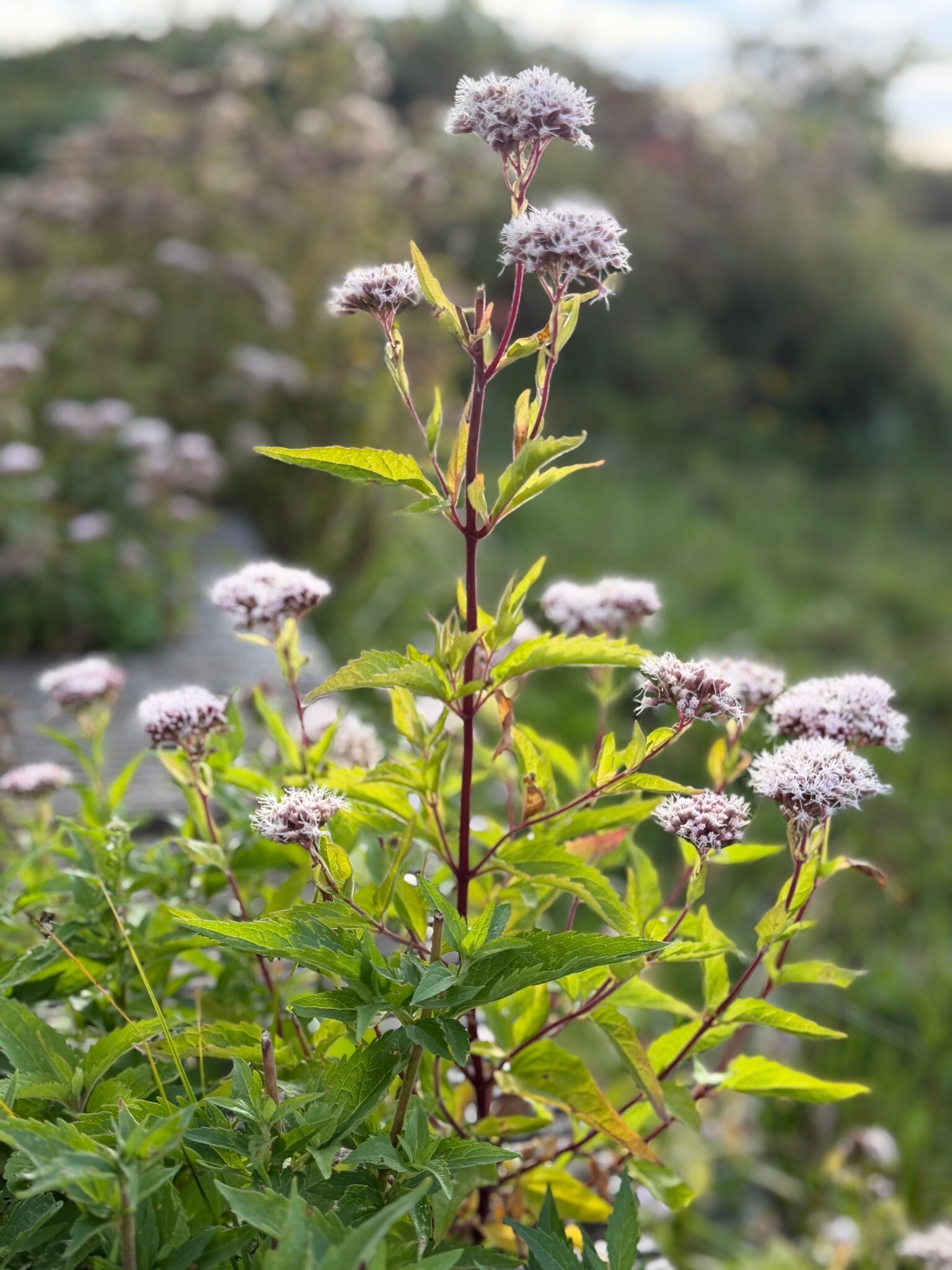
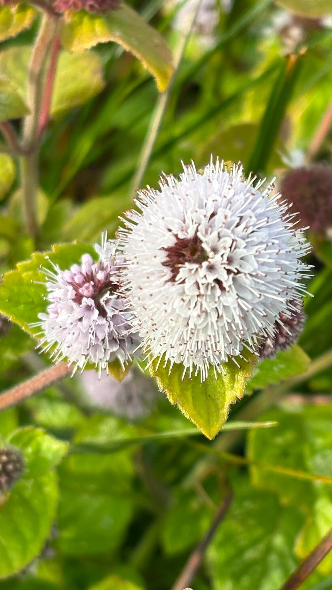
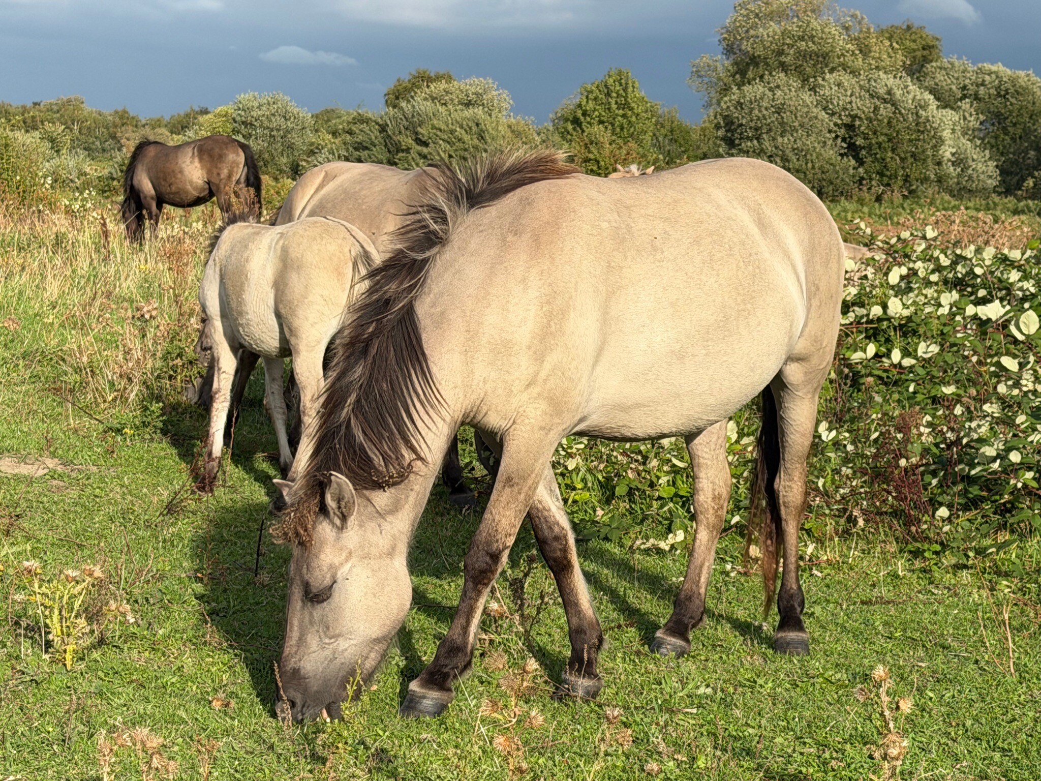
#1. Bruinisse - Slaakbrug · Oosterscheldepad etappe 7
Bruinisse,Sint Philipsland

#2. Bruinisse - Dreischor · Watersnoodpad etappe 4
Bruinisse,Sirjansland,Nieuwerkerk,Dreischor


#3. Brouwershaven - Scharendijke · Watersnoodpad etappe 6
Brouwershaven,Scharendijke,Ellemeet

#4. Scharendijke - Burgh-Haamstede · Watersnoodpad etappe 7
Scharendijke,Noordwelle,Renesse,Burgh-Haamstede

#5. Dreischor - Brouwershaven · Watersnoodpad etappe 5
Dreischor,Noordgouwe,Zonnemaire,Brouwershaven

#6. Battenoord - Tholen · GR5 etappe 5
Nieuwe-Tonge,Bruinisse,Sint Philipsland,De Heen,Oud-Vossemeer,Nieuw-Vossemeer,Tholen,Lepelstraat


#7. Burgh Haamstede - Port Zelande · Nederlands Kustpad 1 etappe 6
Scharendijke,Renesse,Burgh-Haamstede
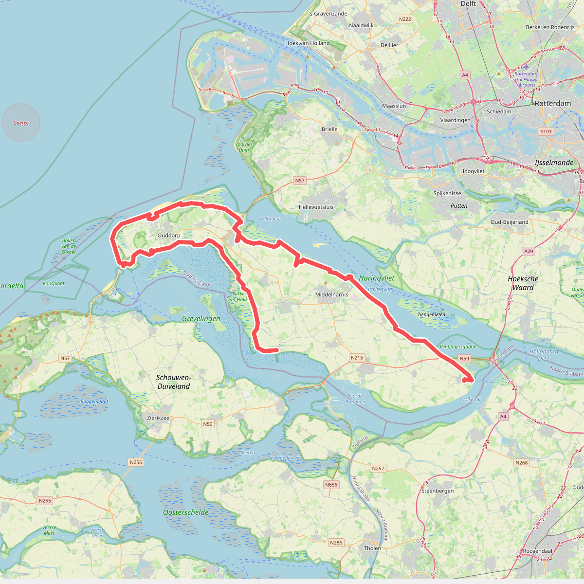
#8. De Omloop
Ooltgensplaat,Den Bommel,Stad aan 't Haringvliet,Middelharnis,Sommelsdijk,Dirksland,Stellendam,Goedereede,Ouddorp,Melissant,Herkingen

#9. Ellemeet naar Ouddorp - "Remy" · NederRandpad etappe 60
Ouddorp,Scharendijke,Ellemeet

#10. Expeditie Delta op Schouwen-Duiveland
Scharendijke,Renesse,Burgh-Haamstede,Serooskerke,Kerkwerve,Ellemeet

#11. Goedereede - Battenoord · GR5 etappe 4
Goedereede,Stellendam,Melissant,Dirksland,Herkingen,Nieuwe-Tonge


#12. Goedereede - Herkingen · Nederlands Kustpad 1 etappe 13
Herkingen,Dirksland,Melissant,Stellendam,Goedereede




