


The best hiking routes in Hollands Diep
Discover the best walks in Hollands Diep. 12 routes on the map, with descriptions, photos and GPX.
Managed by Staatsbosbeheer;Domeinen;Rijkswaterstaat


About Hollands Diep
Hollands Diep is a wide, freshwater tidal river estuary where the landscape is defined by massive dikes, reed beds, and willow coppices. Unlike the sandy dunes of the coast or the dry pine forests further inland, this area offers a flat, watery terrain shaped by the transition between major rivers and the sea. Walkers will find a stark contrast between the high, grassy dikes that provide elevated views over the grey water and the low-lying, muddy foreshores where vegetation grows thick.
Read more
About Hollands Diep
Hollands Diep is a wide, freshwater tidal river estuary where the landscape is defined by massive dikes, reed beds, and willow coppices. Unlike the sandy dunes of the coast or the dry pine forests further inland, this area offers a flat, watery terrain shaped by the transition between major rivers and the sea. Walkers will find a stark contrast between the high, grassy dikes that provide elevated views over the grey water and the low-lying, muddy foreshores where vegetation grows thick.
Read moreHollands Diep is a wide, freshwater tidal river estuary where the landscape is defined by massive dikes, reed beds, and willow coppices. Unlike the sandy dunes of the coast or the dry pine forests further inland, this area offers a flat, watery terrain shaped by the transition between major rivers and the sea. Walkers will find a stark contrast between the high, grassy dikes that provide elevated views over the grey water and the low-lying, muddy foreshores where vegetation grows thick.
Underfoot, the paths vary significantly depending on where you step off the asphalt of the dike. You will encounter rough grassy tracks, soft clay paths through willow woods, and sections of boardwalk designed to keep you above the wettest reed beds. The vegetation is dense and scrubby in the tidal marshes, meaning some paths require pushing through tall reeds and nettles, while the dike-top routes are wide, open, and exposed to the elements.
This is not a destination for those seeking deep forests or rolling hills. It is a working river landscape where massive shipping lanes run alongside protected bird tidal flats. In late summer, around August, the purple loosestrife and yellow ragwort bloom along the banks, contrasting with the industrial backdrop of nearby bridges and locks that remain visible from almost every path.
Hiking routes in Hollands Diep (12)


#1. Hooge Zwaluwe - Moerdijk · Biesboschpad etappe 2
Moerdijk,Lage Zwaluwe,Hooge Zwaluwe
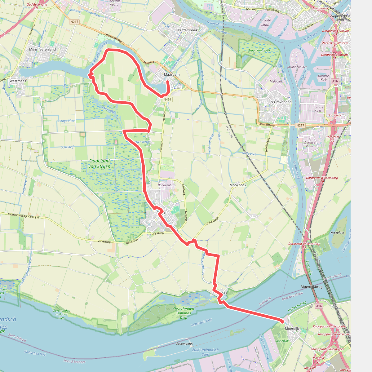


#2. Moerdijk - Maasdam · Biesboschpad etappe 3
Maasdam,Mijnsheerenland,Westmaas,Strijen,Strijensas,Moerdijk


#3. Rondwandeling (Oeverlanden - Hollands Diep) · Biesboschpad etappe 13
Strijensas,Strijen

#4. Numansdorp - Dinteloord · Floris V-pad etappe 11
Dinteloord,Heijningen,Willemstad,Ooltgensplaat,Numansdorp

#5. Boswachterspad Oeverlanden Hollands Diep
Strijen,Strijensas


#6. Dinteloord - Willemstad · Zuiderwaterliniepad etappe 3
Willemstad,Heijningen,Dinteloord
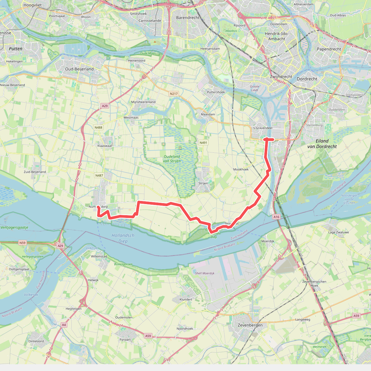
#7. Dordrecht (Kiltunnel) - Numansdorp · Floris V-pad etappe 10
Numansdorp,Strijen,Strijensas,'s-Gravendeel,Mookhoek

#8. Dordrecht - Zevenbergen · Jacobsweg Thuredrecht etappe 3
Zwijndrecht,Papendrecht,Dordrecht,'s-Gravendeel,Strijensas,Moerdijk,Zevenbergen

#9. Lage zwaluwe - krispijn
Zevenbergschen Hoek,Moerdijk,Dordrecht

#10. Stadswandeling Willemstad | Zuiderwaterlinie
Willemstad

#11. Vroegevogelspad
Bruinisse,Oude-Tonge,Ooltgensplaat


#12. Willemstad - Zevenbergen · Zuiderwaterliniepad etappe 4
Zevenbergen,Klundert,Willemstad




