


The best hiking routes in IJsselmeer
Discover the best walks in IJsselmeer. 72 routes on the map, with descriptions, photos and GPX.
Managed by Rijkswaterstaat;It Fryske Gea;Staatsbosbeheer;Natuurmonumenten


About IJsselmeer
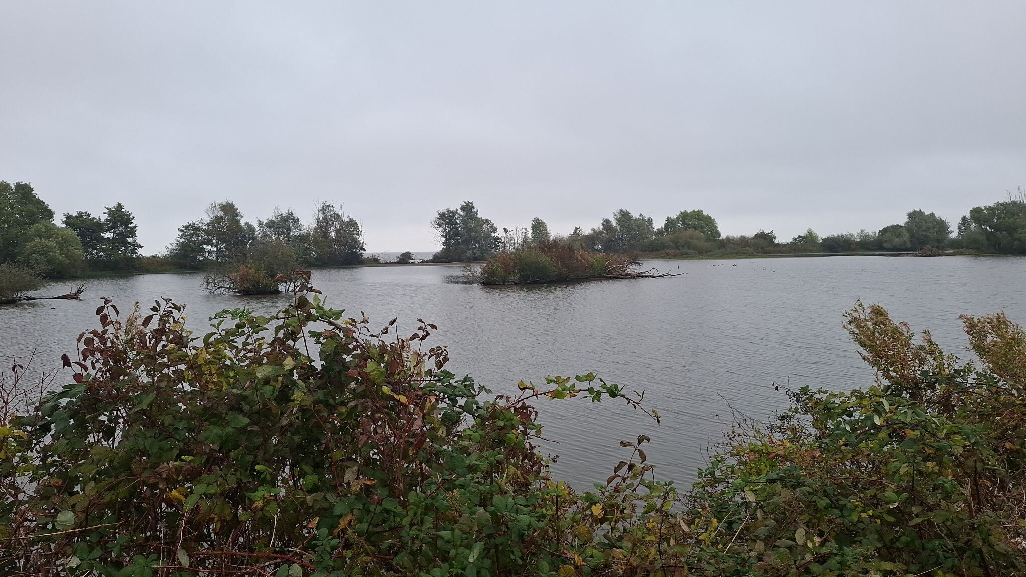
The IJsselmeer is a vast freshwater lake, but for a walker, it is defined by its artificial edges. Walking here means choosing between two distinct terrain types: the high, grassy dikes that offer elevated views over the water, and the low-lying marshlands and reed beds that sit at water level. Because the lake was created by damming the sea, the landscape is highly engineered. You will walk on straight asphalt or gravel paths on top of the dikes, or on muddy, unpaved tracks through the reed beds and willow woods along the shore.
Read more
About IJsselmeer
The IJsselmeer is a vast freshwater lake, but for a walker, it is defined by its artificial edges. Walking here means choosing between two distinct terrain types: the high, grassy dikes that offer elevated views over the water, and the low-lying marshlands and reed beds that sit at water level. Because the lake was created by damming the sea, the landscape is highly engineered. You will walk on straight asphalt or gravel paths on top of the dikes, or on muddy, unpaved tracks through the reed beds and willow woods along the shore.
Read moreThe IJsselmeer is a vast freshwater lake, but for a walker, it is defined by its artificial edges. Walking here means choosing between two distinct terrain types: the high, grassy dikes that offer elevated views over the water, and the low-lying marshlands and reed beds that sit at water level. Because the lake was created by damming the sea, the landscape is highly engineered. You will walk on straight asphalt or gravel paths on top of the dikes, or on muddy, unpaved tracks through the reed beds and willow woods along the shore.
Unlike the sandy dunes of the North Sea coast, the underfoot here is dominated by heavy clay, basalt blocks, and wet peat. The inner side of the dikes often features quiet polder roads and drainage canals, while the outer side meets the open water. In areas like the Frisian coast or the margins of Flevoland, boardwalks and grassy paths lead through dense reed beds where the ground is consistently damp. There are no forests or hills here; the terrain is flat, open, and exposed.
In late summer, particularly in August, the shallow margins are thick with flowering water plants and insect life, which attracts thousands of migrating birds. While the paved dike paths are easy to navigate and popular with cyclists, the unpaved nature trails closer to the water require sturdy footwear to handle the soft, uneven ground. It is a landscape of sharp contrasts between engineered concrete barriers and muddy, overgrown shorelines.
Hiking routes in IJsselmeer (72)


#1. Klokbekerweg, Lely - Hollandse Hout · Pionierspad etappe 6
Lelystad


#2. Medemblik - Enkhuizen · Westfriese Omringdijk etappe 6
Enkhuizen,Andijk,Wervershoof,Medemblik,Wieringerwerf


#3. Vlietroute (geel) vanaf startpunt Onderdijk
Wervershoof,Medemblik,Oostwoud


#4. Ketelmeer - Klokbekerweg, Lely · Pionierspad etappe 5
Lelystad,Swifterbant,Nagele

#5. Medemblik - Wervershoof · Groot Frieslandpad etappe 6
Wervershoof,Medemblik,Wieringerwerf

#6. Wervershoof - Enkhuizen · Groot Frieslandpad etappe 7
Enkhuizen,Andijk,Zwaagdijk-Oost,Wervershoof

#7. Afsluitdijk · Zuiderzeepad etappe 25
Den Oever,Breezanddijk,Kornwerderzand,Cornwerd

#8. Afsluitdijk (provinciegrens) - Zurich
Kornwerderzand,Cornwerd,Zurich,Pingjum

#9. Bolsward-Makkum · Klooster Claercamppad etappe 9
Makkum,Allingawier,Exmorra,Bolsward

#10. Buurtschappenpad (paars)
Andijk,Wervershoof

#11. De Grootslagroute (rood)
Andijk

#12. De vluchtende en vechtende bezetter in het nauw | Liberation Route
Kornwerderzand,Cornwerd,Zurich,Pingjum,Witmarsum,Wons




