


The best hiking routes in Langstraat
Discover the best walks in Langstraat. 5 routes on the map, with descriptions, photos and GPX.
Managed by Staatsbosbeheer;Rijkswaterstaat;particulieren
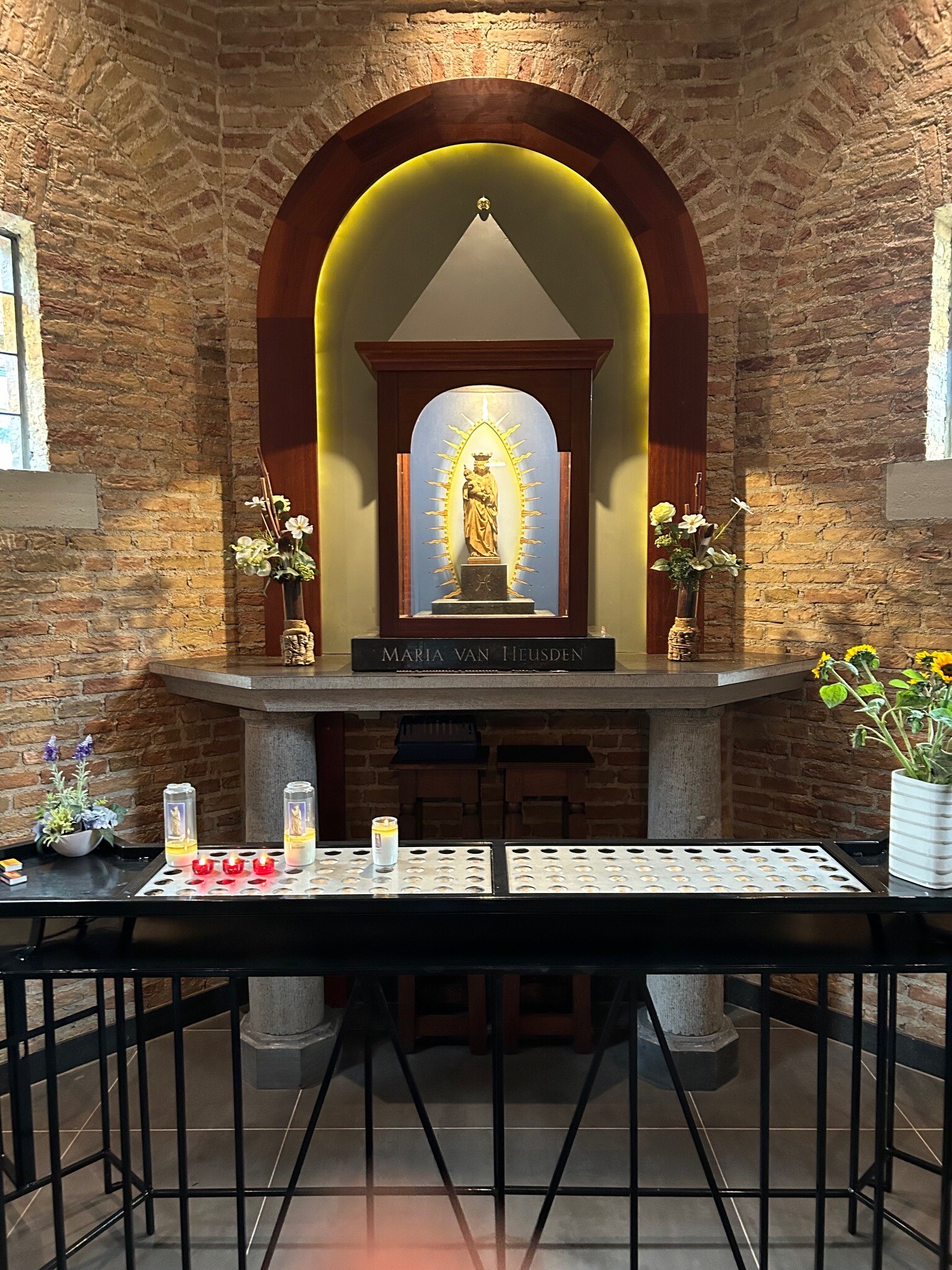
About Langstraat
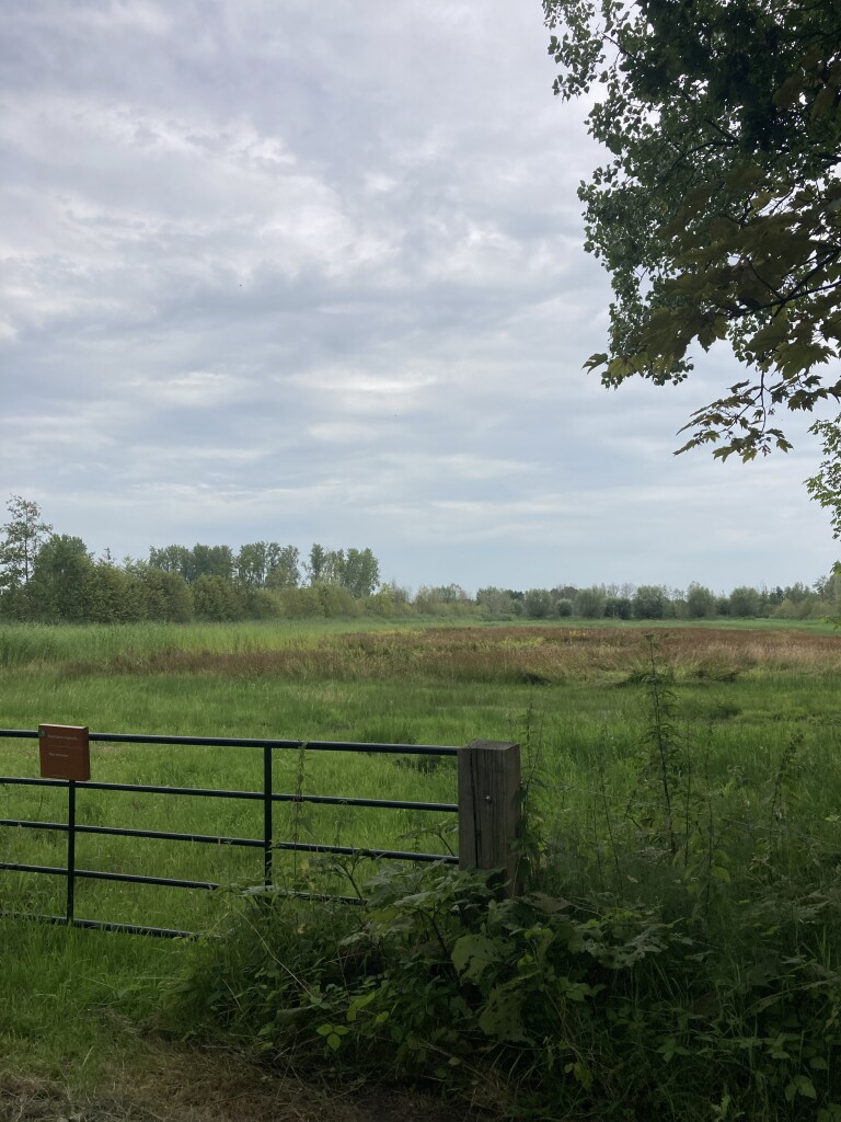
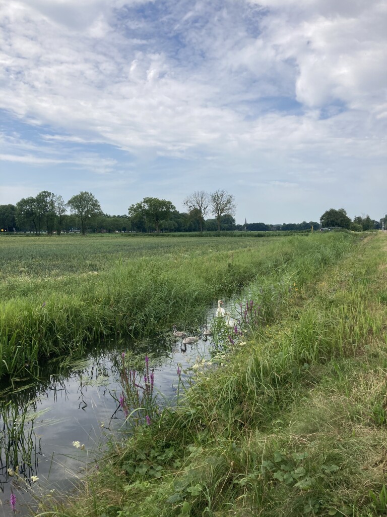
The Langstraat nature reserve offers a distinct walking landscape shaped by its position between the high sandy soils of Brabant and the clay beds of the Maas river. Unlike the dry pine forests nearby, this area is defined by seepage water rising from the ground, creating a wet, low-lying environment. Walkers will notice a transition from small-scale meadows and dense alder carrs to open, marshy grasslands. The terrain is flat, characterized by historical peat-cutting trenches known as slagen, which run parallel to each other and dictate the direction of the paths.
Read more
About Langstraat
The Langstraat nature reserve offers a distinct walking landscape shaped by its position between the high sandy soils of Brabant and the clay beds of the Maas river. Unlike the dry pine forests nearby, this area is defined by seepage water rising from the ground, creating a wet, low-lying environment. Walkers will notice a transition from small-scale meadows and dense alder carrs to open, marshy grasslands. The terrain is flat, characterized by historical peat-cutting trenches known as slagen, which run parallel to each other and dictate the direction of the paths.
Read moreThe Langstraat nature reserve offers a distinct walking landscape shaped by its position between the high sandy soils of Brabant and the clay beds of the Maas river. Unlike the dry pine forests nearby, this area is defined by seepage water rising from the ground, creating a wet, low-lying environment. Walkers will notice a transition from small-scale meadows and dense alder carrs to open, marshy grasslands. The terrain is flat, characterized by historical peat-cutting trenches known as slagen, which run parallel to each other and dictate the direction of the paths.
Underfoot, the experience is defined by damp clay and peat. While some sections follow elevated dikes or paved farm lanes, the interior paths are often grassy, soft, and muddy. You will cross small wooden bridges over drainage ditches and walk along narrow, unpaved tracks that can be heavy going. The vegetation is lush, with reeds, sedges, and marsh marigolds lining the watercourses, especially during the flowering period in April and May.
This is not a place for wide-open views or dry, sandy pine walks. The landscape is intimate and enclosed by hedgerows, offering a quiet, working-countryside atmosphere rather than a pristine wilderness. Because of the wet soil, walking here requires sturdy, waterproof footwear, as the paths closely follow the natural water level of the polder.
Hiking routes in Langstraat (5)
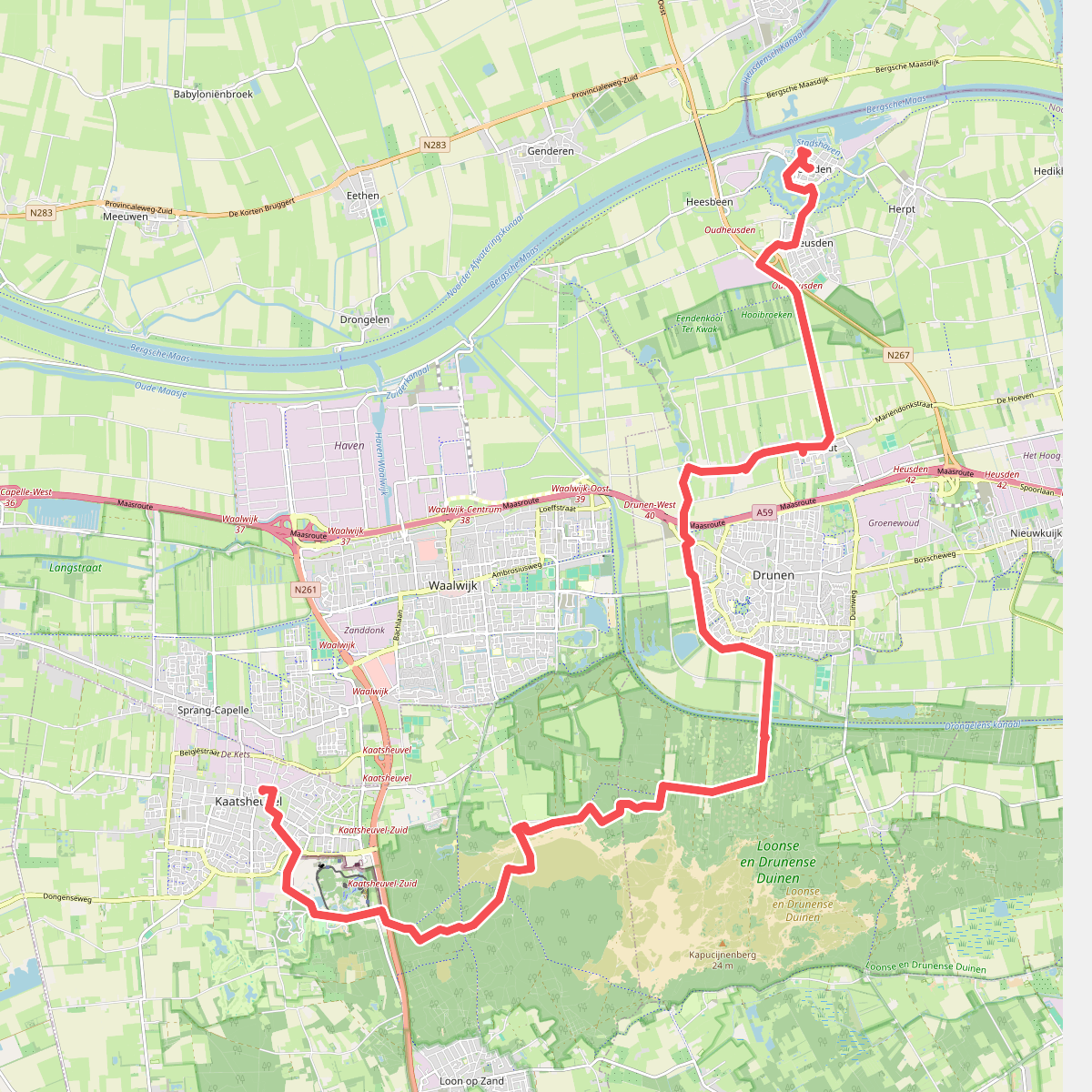
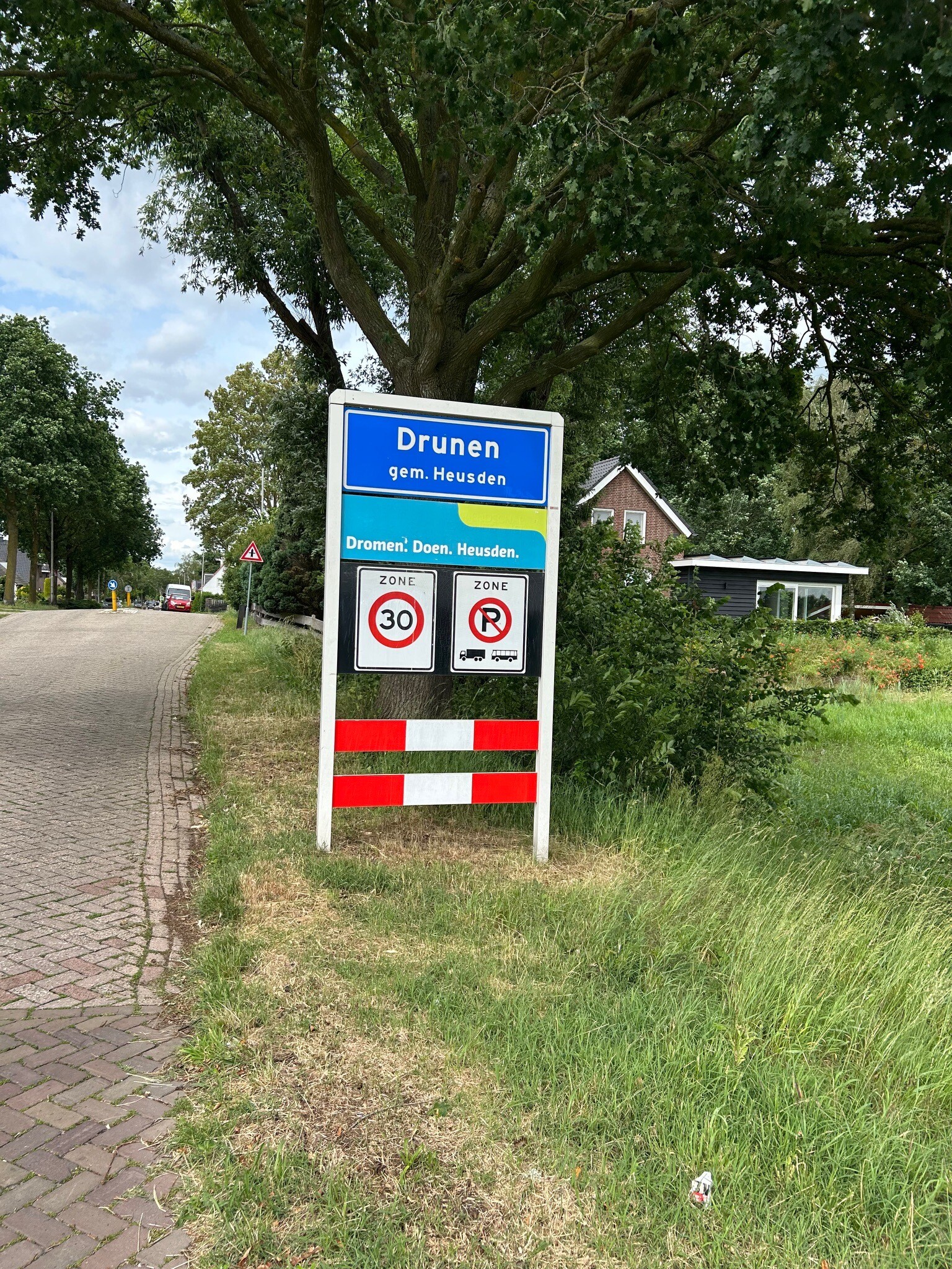
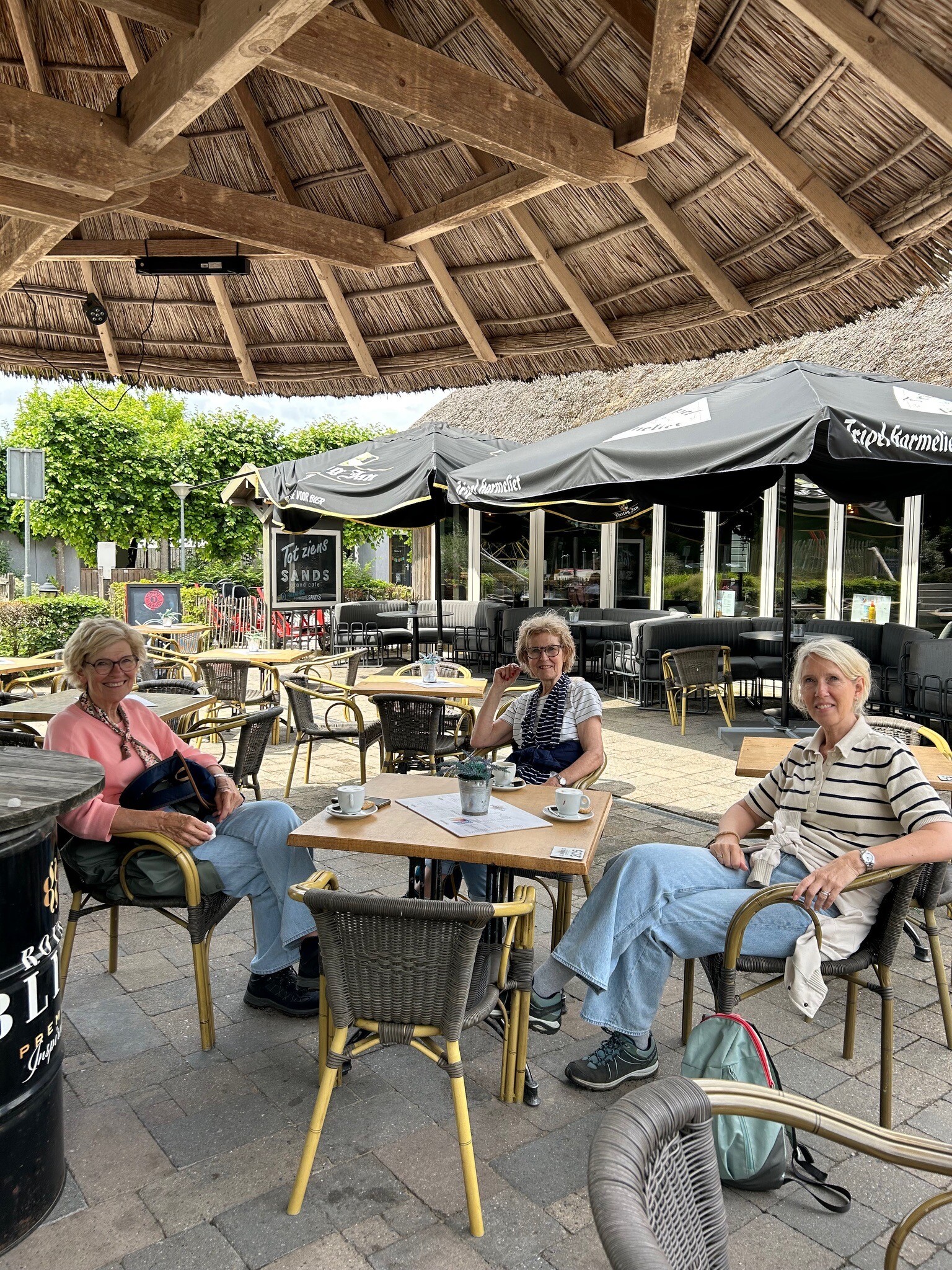
#1. Kaatsheuvel - Heusden · Camino Brabant etappe 12
Oudheusden,Heusden,Elshout,Drunen,Kaatsheuvel,Sprang-Capelle
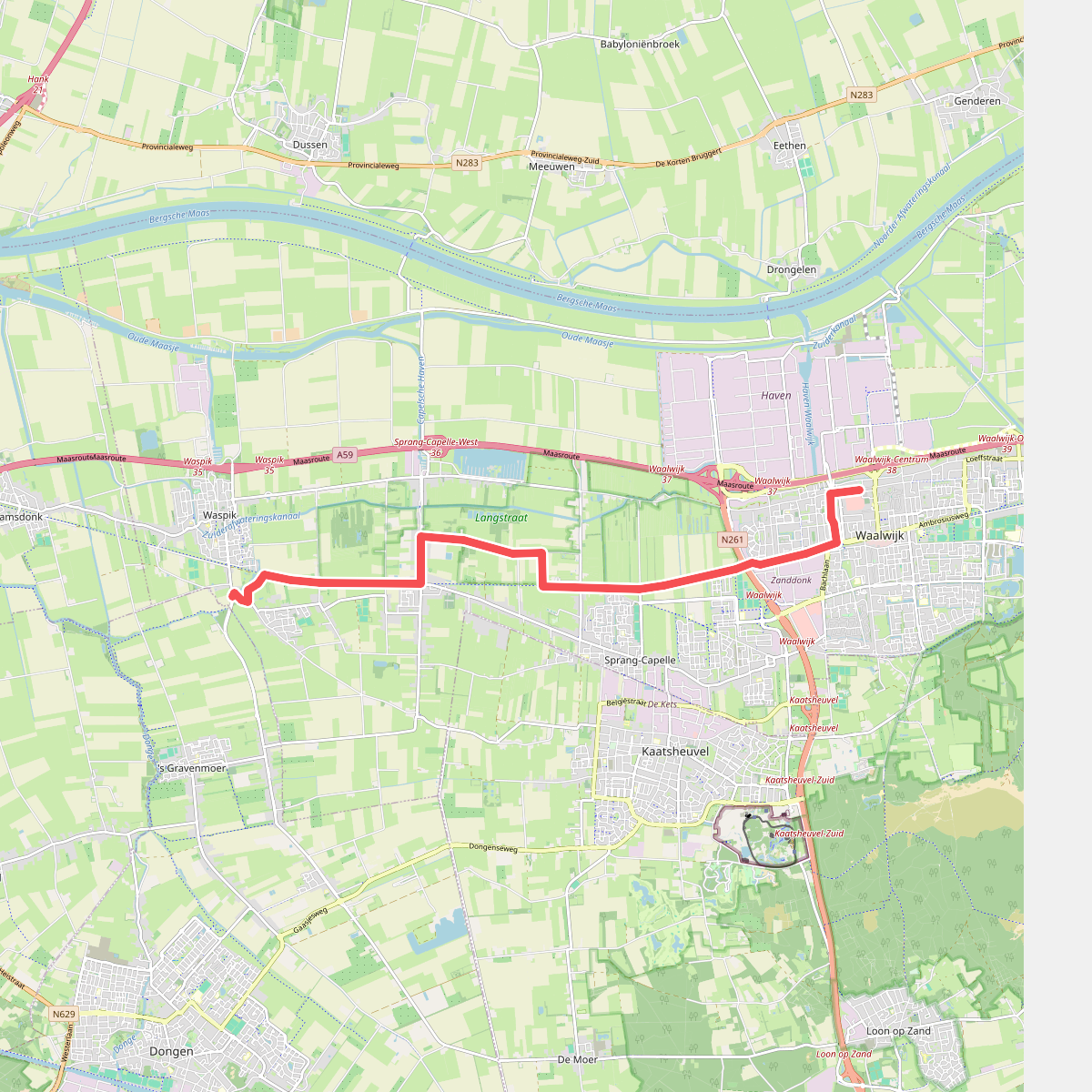
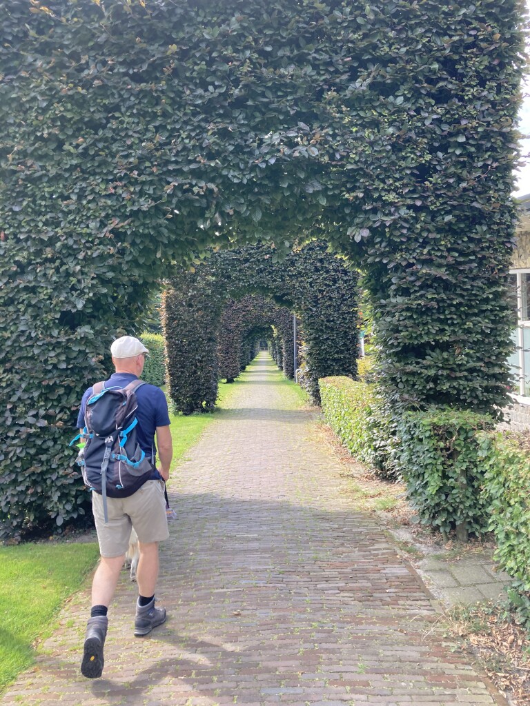
#2. Waalwijk - Waspik · Biesboschpad etappe 10
Waspik,Sprang-Capelle,Kaatsheuvel,Waalwijk
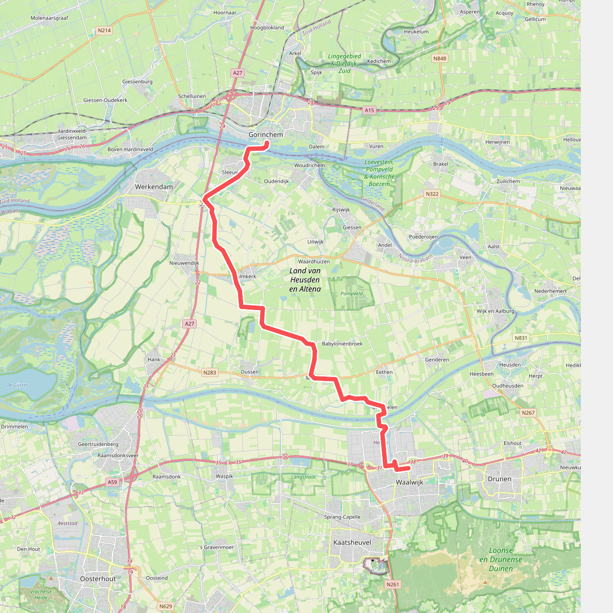
#3. Gorinchem - Waalwijk · Hugo de Groot pad etappe 2
Gorinchem,Sleeuwijk,Woudrichem,Almkerk,Dussen,Babyloniënbroek,Meeuwen,Drongelen,Waalwijk
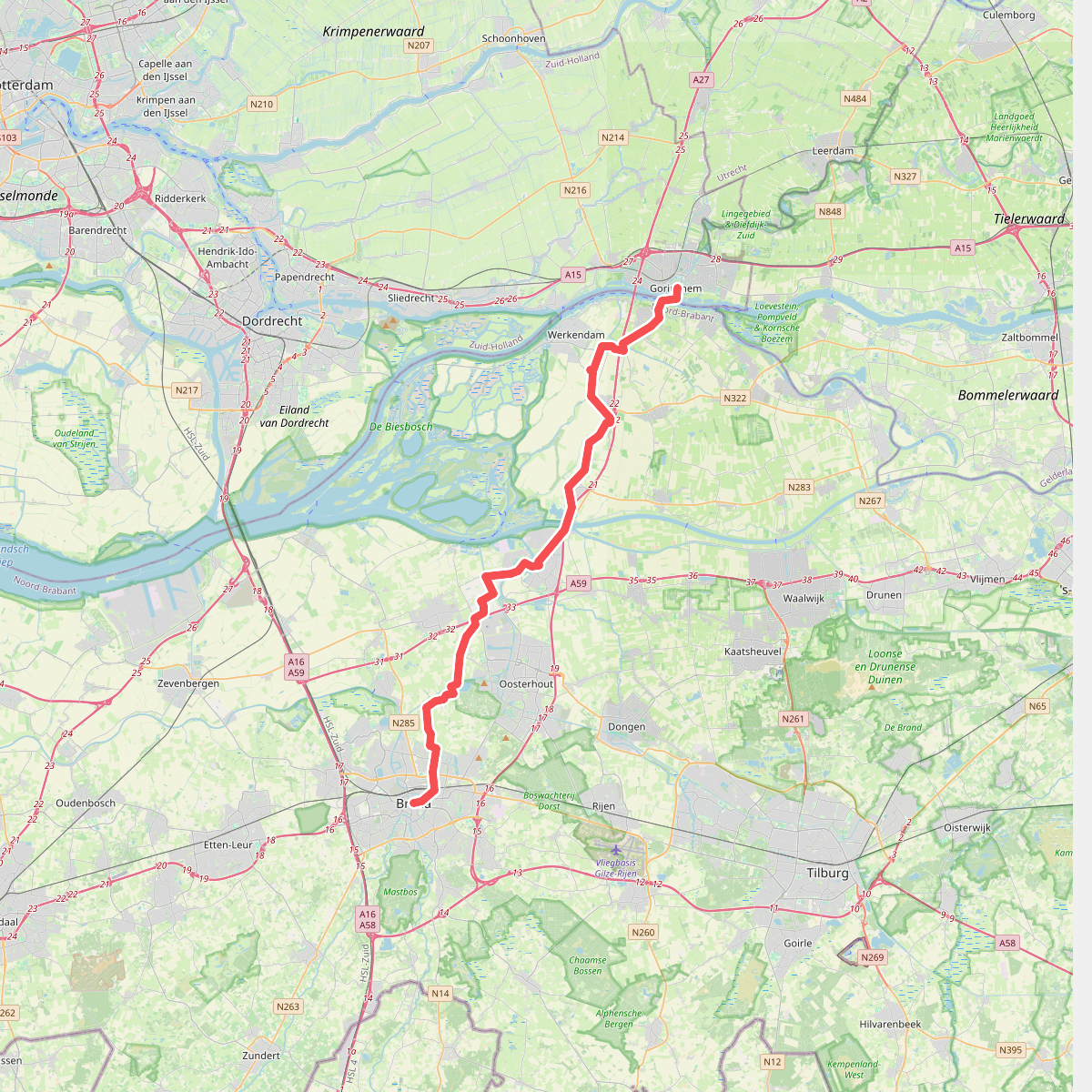
#4. Gorinchem - Breda · Jacobsweg Amsvorde etappe 7
Gorinchem,Sleeuwijk,Woudrichem,Almkerk,Werkendam,Nieuwendijk,Hank,Raamsdonksveer,Geertruidenberg,Made,Den Hout,Terheijden,Teteringen,Breda
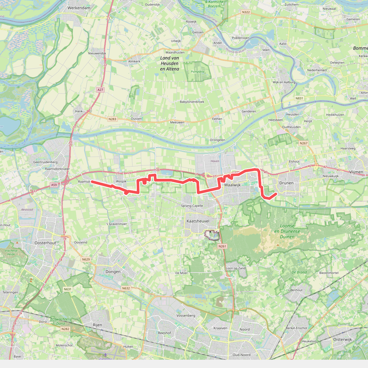
#5. Raamsdonk - Drunen · Zuiderwaterliniepad etappe 8
Drunen,Waalwijk,Sprang-Capelle,Waspik,Raamsdonk




