


The best hiking routes in Monte Letegge - Monte d'Aria
Discover the best walks in Monte Letegge - Monte d'Aria. 6 routes on the map, with descriptions, photos and GPX.
Managed by UM Marca di Camerino; UM dei Monti Azzurri
About Monte Letegge - Monte d'Aria
Monte Letegge - Monte d'Aria offers a walk across a high, rounded limestone ridge in the Marche region, characterized by open pastures and reforestation plots rather than dramatic cliffs or deep gorges. The terrain is defined by its exposed, grassy crests and gentle slopes that connect the two main summits. Walking here means following wide dirt tracks and grassy firebreaks that run along the spine of the ridge, offering clear views of the surrounding hills without requiring technical climbing skills.
Read more
About Monte Letegge - Monte d'Aria
Monte Letegge - Monte d'Aria offers a walk across a high, rounded limestone ridge in the Marche region, characterized by open pastures and reforestation plots rather than dramatic cliffs or deep gorges. The terrain is defined by its exposed, grassy crests and gentle slopes that connect the two main summits. Walking here means following wide dirt tracks and grassy firebreaks that run along the spine of the ridge, offering clear views of the surrounding hills without requiring technical climbing skills.
Read moreMonte Letegge - Monte d'Aria offers a walk across a high, rounded limestone ridge in the Marche region, characterized by open pastures and reforestation plots rather than dramatic cliffs or deep gorges. The terrain is defined by its exposed, grassy crests and gentle slopes that connect the two main summits. Walking here means following wide dirt tracks and grassy firebreaks that run along the spine of the ridge, offering clear views of the surrounding hills without requiring technical climbing skills.
The landscape shows a clear contrast between the open, wind-swept meadows on the summits and the dense patches of black pine planted during twentieth-century reforestation efforts. Underfoot, the paths are mostly compacted earth, limestone gravel, and rough grass, which can feel hard and stony. In late spring, around May, these high pastures are marked by the flowering of wild orchids and mountain herbs, which briefly transform the otherwise austere, stony grassland.
This area is generally quieter than the higher peaks of the nearby Sibillini range, attracting mostly local walkers and those looking for straightforward ridge walking. There are no shelter huts or water sources along the crest, so preparation relies entirely on what you carry. It is a landscape of simple lines, where the main appeal lies in the steady, uncomplicated walking along a high divide.
Hiking routes in Monte Letegge - Monte d'Aria (6)

#1. Cammino dei Cappuccini - Tappa 10

#2. Cammino dei Cappuccini - Tappa 11

#3. Italia Coast to Coast-Tappa 5
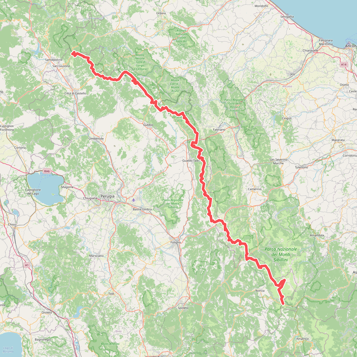
#4. Sentiero europeo E1, Italia - Umbria/Marche

#5. Via Lauretana - Stage 04 NORD





