


The best hiking routes in Naturpark Nagelfluhkette
Discover the best walks in Naturpark Nagelfluhkette. 15 routes on the map, with descriptions, photos and GPX.
About Naturpark Nagelfluhkette
Naturpark Nagelfluhkette is defined by its unusual geology of nagelfluh, a conglomerate rock resembling concrete made of rounded river pebbles. Unlike the sharp limestone peaks found further south, this area consists of long, parallel ridges with rounded, grassy crests. The northern slopes are typically covered in dense spruce and fir forests, while the southern sides feature steep alpine meadows used for summer cattle grazing. Walkers should expect a landscape of working alpine pastures, where the sound of cowbells is constant and farm tracks are common.
Read more
About Naturpark Nagelfluhkette
Naturpark Nagelfluhkette is defined by its unusual geology of nagelfluh, a conglomerate rock resembling concrete made of rounded river pebbles. Unlike the sharp limestone peaks found further south, this area consists of long, parallel ridges with rounded, grassy crests. The northern slopes are typically covered in dense spruce and fir forests, while the southern sides feature steep alpine meadows used for summer cattle grazing. Walkers should expect a landscape of working alpine pastures, where the sound of cowbells is constant and farm tracks are common.
Read moreNaturpark Nagelfluhkette is defined by its unusual geology of nagelfluh, a conglomerate rock resembling concrete made of rounded river pebbles. Unlike the sharp limestone peaks found further south, this area consists of long, parallel ridges with rounded, grassy crests. The northern slopes are typically covered in dense spruce and fir forests, while the southern sides feature steep alpine meadows used for summer cattle grazing. Walkers should expect a landscape of working alpine pastures, where the sound of cowbells is constant and farm tracks are common.
Underfoot, the terrain varies significantly between the ridge tops and the valley floors. High-altitude paths often follow narrow, rocky crests where the knobby nagelfluh rock provides natural steps, though some exposed sections require surefootedness. Lower down, the trails transition into gravel forestry roads and muddy paths through damp meadows. Because this is a managed pastoral landscape, hikers will frequently encounter gates, electric fences, and active mountain pastures rather than untouched wilderness.
In June, the meadows are particularly rich with alpine wildflowers, while October brings clear views of the geological layers as the deciduous trees lose their leaves. The ridge trails are popular and can become busy around the cable car stations, but the steep connecting paths through the forested gorges offer a quieter, more physically demanding alternative.
Hiking routes in Naturpark Nagelfluhkette (15)
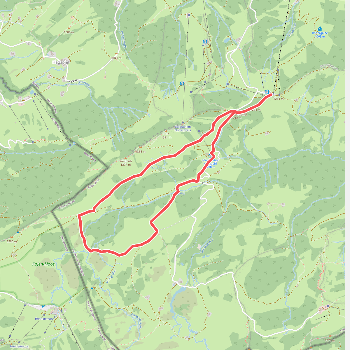
#1. Alperlebnispfad am Imberg
Oberstaufen

#2. Bayerisch-Schwäbischer Jakobsweg MM-LI

#3. Beslerrunde
Obermaiselstein

#4. Carl Hirnbeinweg
Weitnau,Waltenhofen,Immenstadt im Allgäu,Missen-Wilhams

#5. [E4] Europäischer Fernwanderweg [003]

#6. [E4/E5] Europäischer Fernwanderweg Rhein bis Grenze D

#7. Europäischer Fernwanderweg E4 - Deutschland · E4
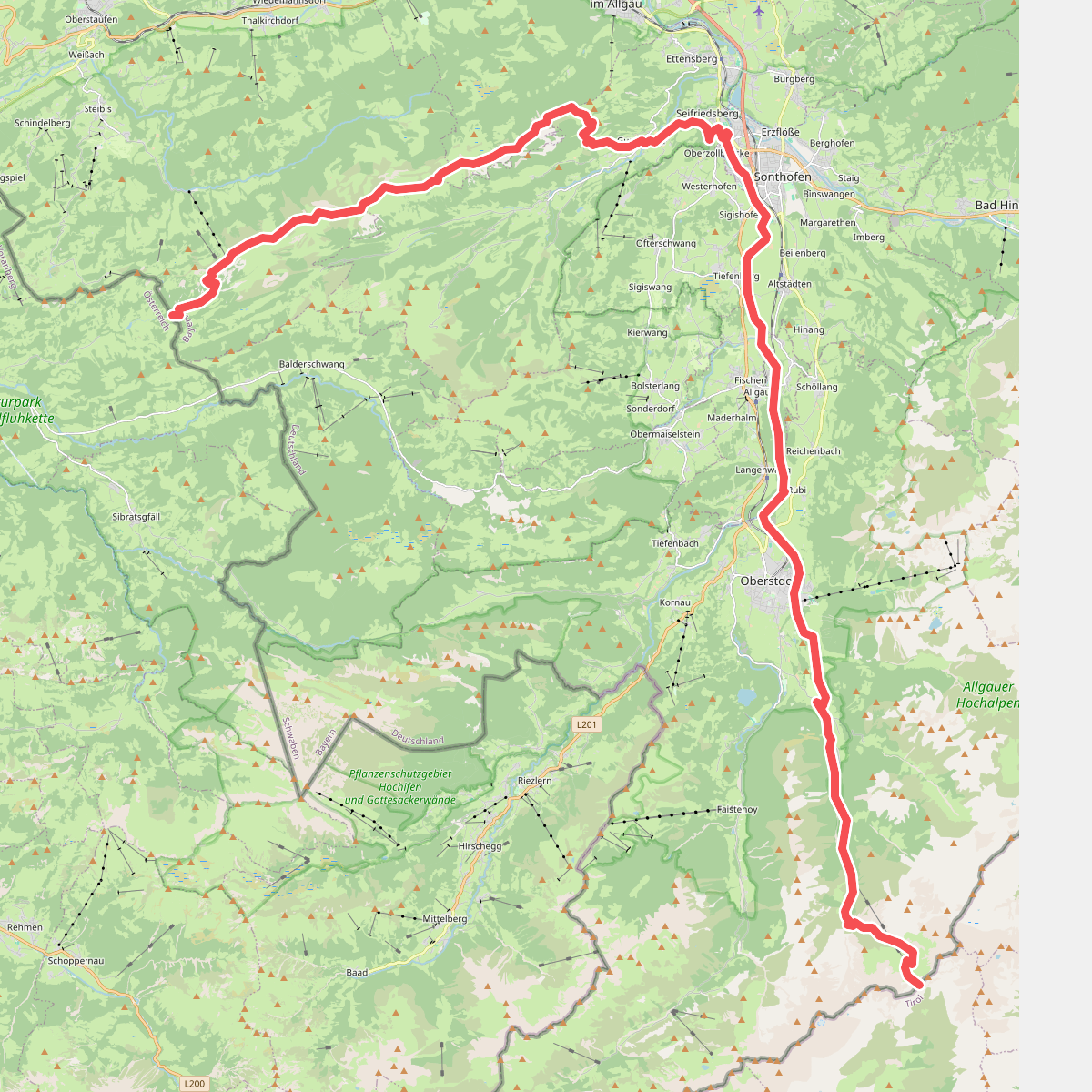
#8. Europäischer Fernwanderweg E5, Deutschland

#9. Nord Süd Trail, Abschnitt Ofterschwang - Haldenwanger Eck
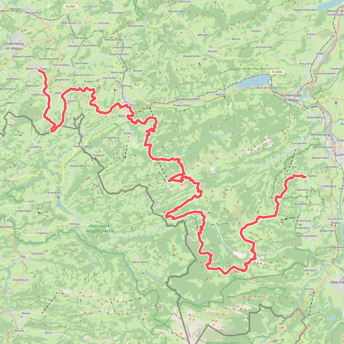
#10. Nord Süd Trail, Abschnitt Weiler im Allgäu - Ofterschwang
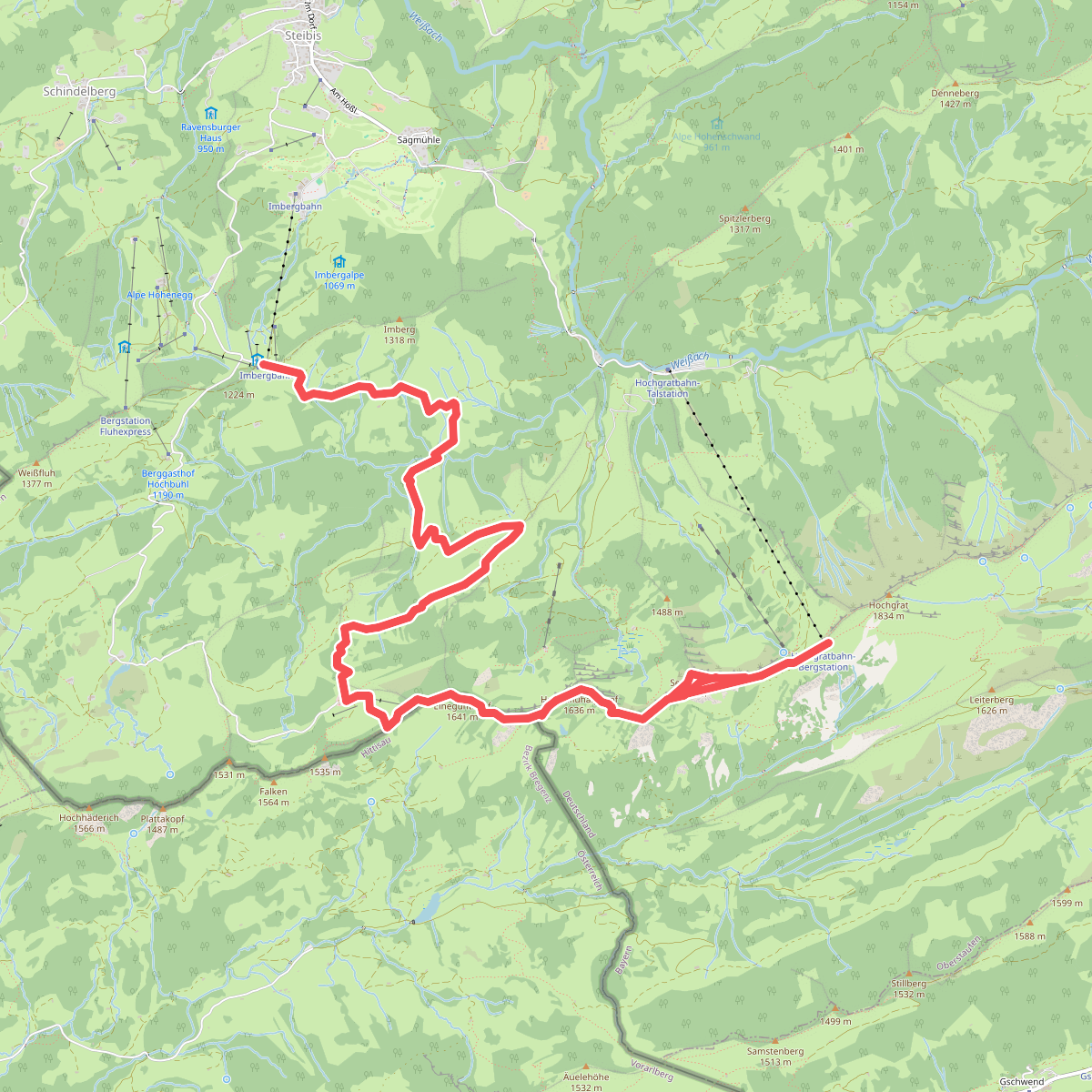
#11. Premiumwanderweg Alpin Luftiger Grat
Oberstaufen,Hittisau
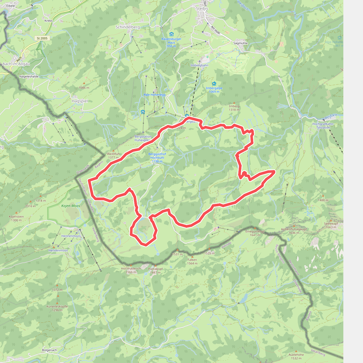
#12. Premiumwanderweg Nagelfluhschleife Alpenfreiheit
Oberstaufen




