


The best hiking routes in Naturpark Steinwald
Discover the best walks in Naturpark Steinwald. 50 routes on the map, with descriptions, photos and GPX.
About Naturpark Steinwald
Naturpark Steinwald is a compact, forested granite ridge rising above the surrounding Bavarian countryside. Unlike the softer sandstone hills nearby, this area is defined by sharp, weathered granite towers and massive boulder piles that emerge abruptly from the dense spruce and beech canopy. The terrain is characterized by steep, rocky climbs and narrow forest tracks, where hikers walk over a mix of exposed tree roots, pine needles, and gritty granite sand.
Read more
About Naturpark Steinwald
Naturpark Steinwald is a compact, forested granite ridge rising above the surrounding Bavarian countryside. Unlike the softer sandstone hills nearby, this area is defined by sharp, weathered granite towers and massive boulder piles that emerge abruptly from the dense spruce and beech canopy. The terrain is characterized by steep, rocky climbs and narrow forest tracks, where hikers walk over a mix of exposed tree roots, pine needles, and gritty granite sand.
Read moreNaturpark Steinwald is a compact, forested granite ridge rising above the surrounding Bavarian countryside. Unlike the softer sandstone hills nearby, this area is defined by sharp, weathered granite towers and massive boulder piles that emerge abruptly from the dense spruce and beech canopy. The terrain is characterized by steep, rocky climbs and narrow forest tracks, where hikers walk over a mix of exposed tree roots, pine needles, and gritty granite sand.
As you walk through the forest, the landscape reveals its geological character through these towering rock formations, such as the Hackelstein, which have been shaped by centuries of freeze-thaw weathering. The high ridge blocks long-distance views for most of the walk, keeping the focus on the immediate, enclosed woodland. While there are no sweeping alpine vistas or deep river canyons, the ruins of Weißenstein Castle offer a clear vantage point over the tree line to see how the forested ridge rises from the flatter agricultural plains below.
Underfoot, the trails range from wide, gravel forestry roads to rugged, uneven paths that require careful stepping over slippery moss-covered rocks. The higher elevations remain cool and damp, with peat moss and ferns thriving in the shade of the trees, while the lower slopes transition into drier pine woods. The main access points and the castle ruins tend to attract more visitors, but the smaller side trails through the granite boulder fields remain relatively quiet.
Hiking routes in Naturpark Steinwald (50)
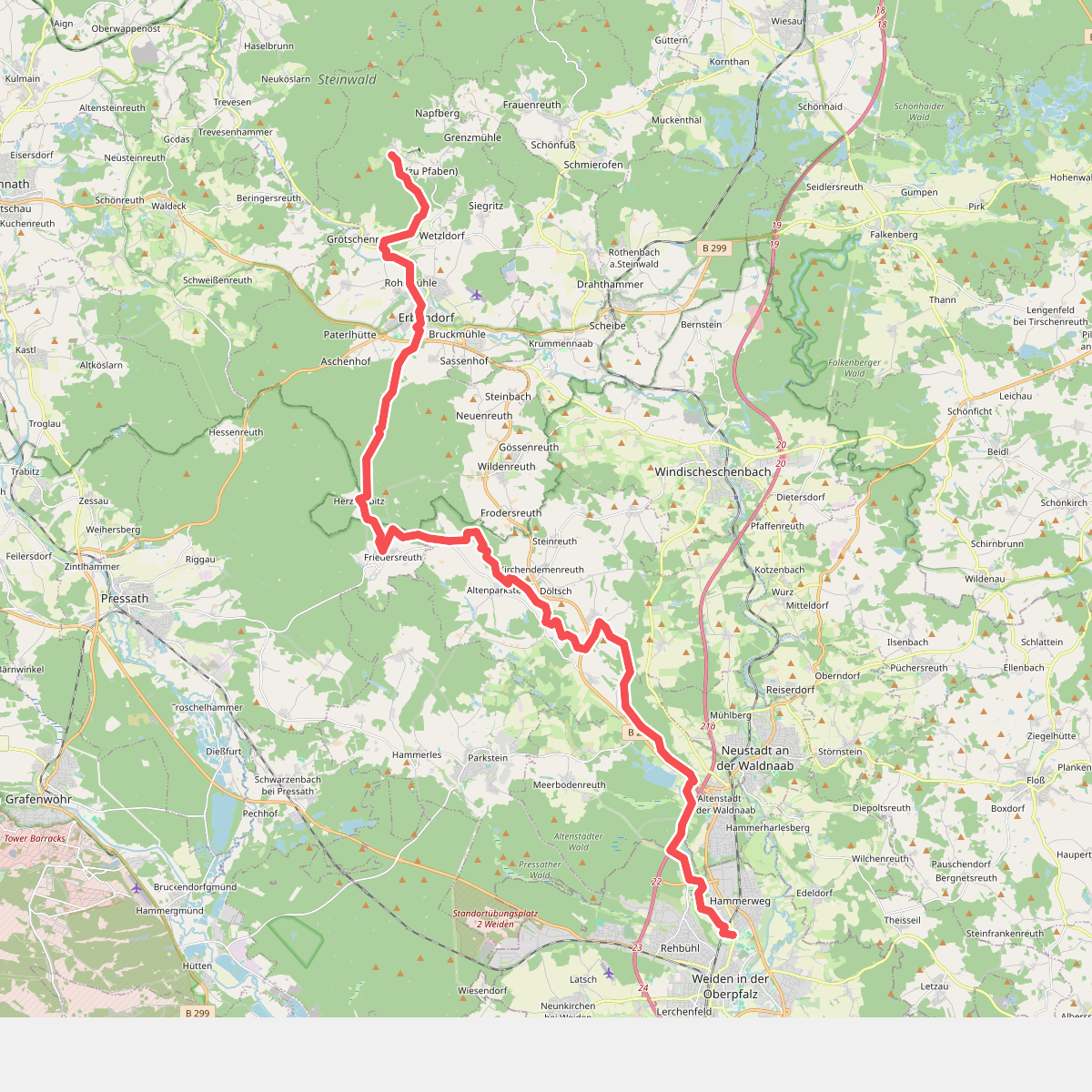
#1. Alpenvereinsweg Weiden - Pfaben
Weiden in der Oberpfalz,Altenstadt an der Waldnaab,Kirchendemenreuth,Pressath,Erbendorf
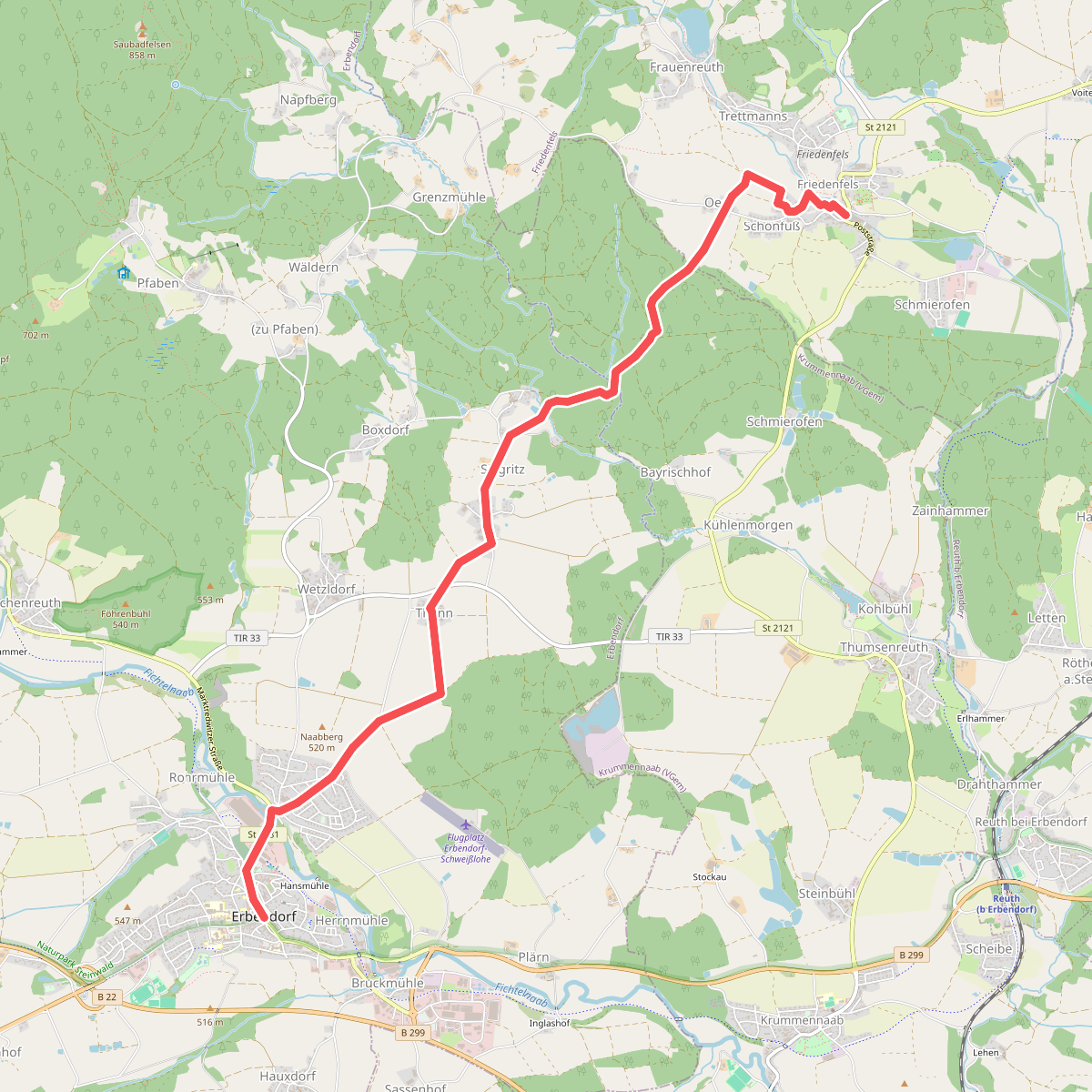
#2. Erbendorf - Friedenfels
Erbendorf,Krummennaab,Friedenfels
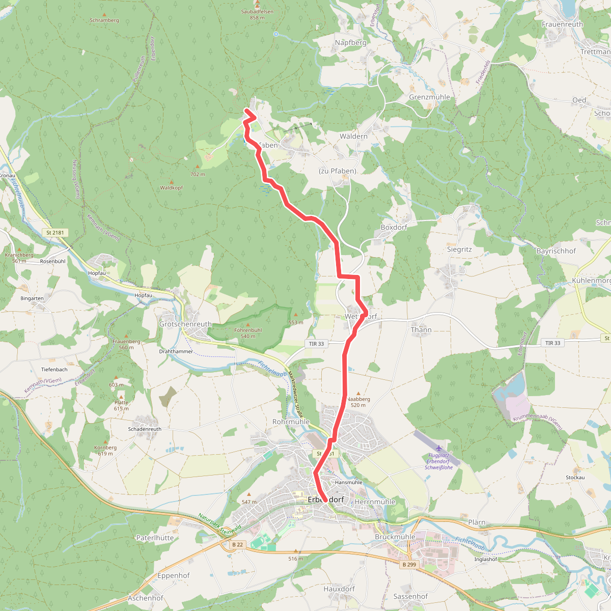
#3. Erbendorf - Waldhaus
Erbendorf
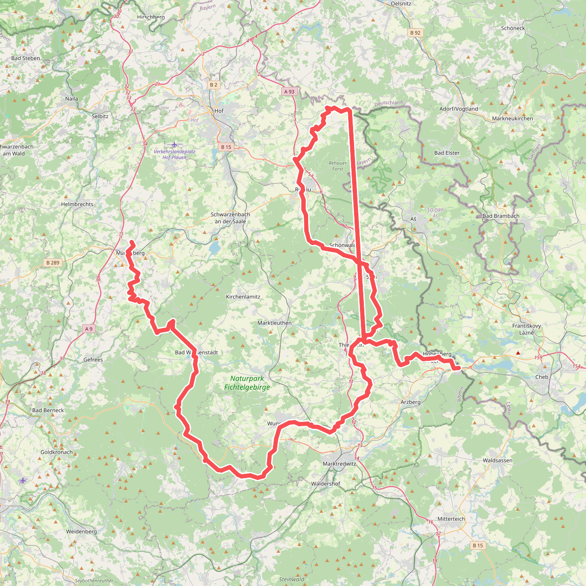
#4. Europäischer Fernwanderweg E3, Bayern (Gebiet FGV)
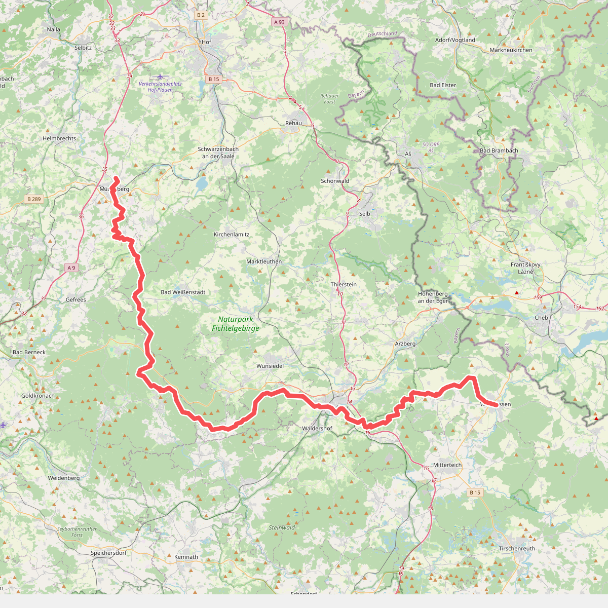
#5. Europäischer Fernwanderweg E6, Deutschland, Fichtelgebirge
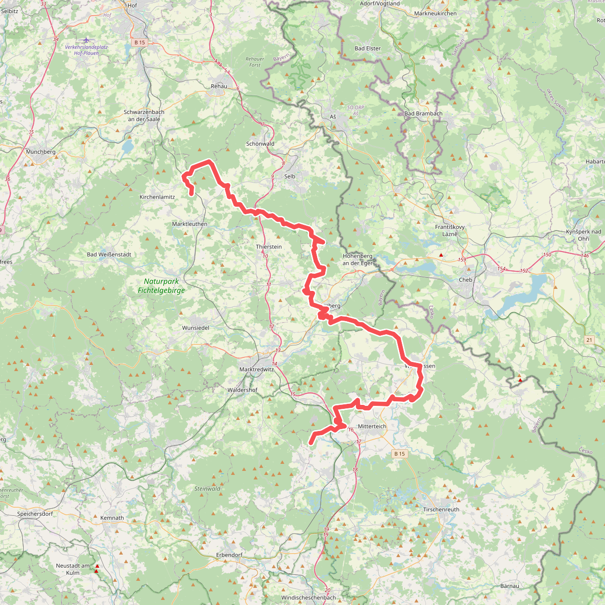
#6. Fränkischer Gebirgsweg Teil 2
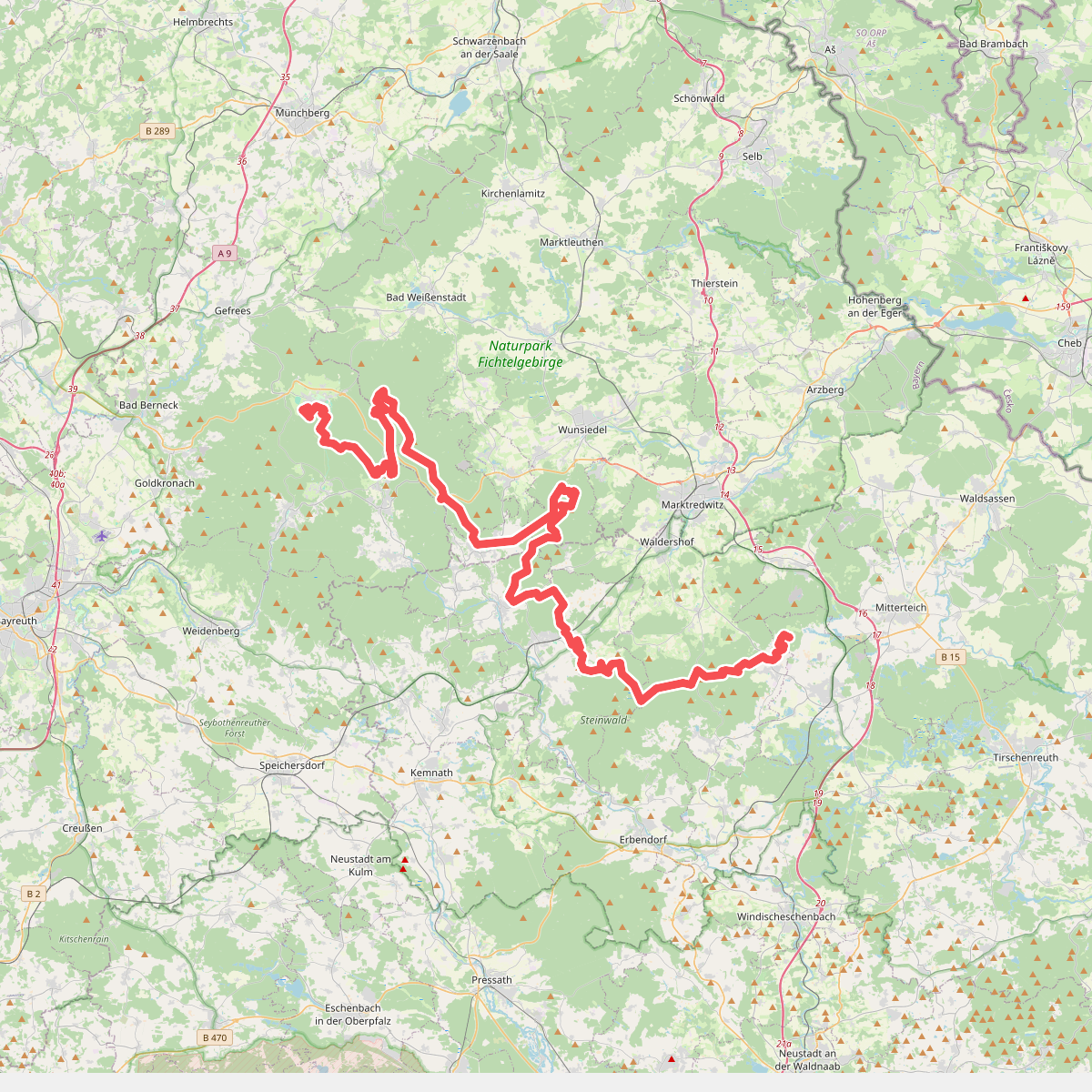
#7. Fränkischer Gebirgsweg Teil 3
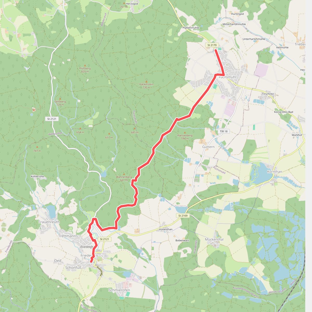
#8. Friedenfels - Fuchsmühl
Friedenfels,Fuchsmühl
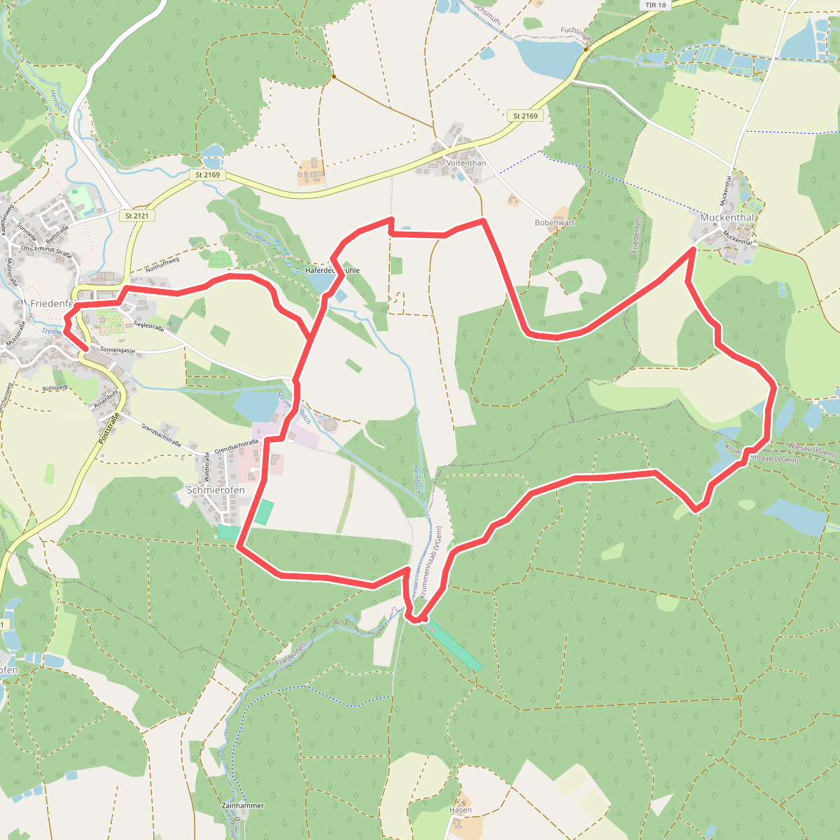
#9. Friedenfels Rundwanderweg blau
Friedenfels,Wiesau,Reuth b.Erbendorf
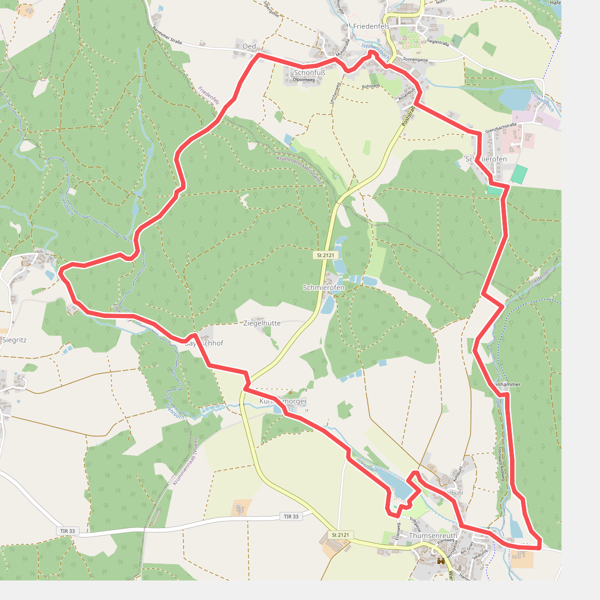
#10. Friedenfels Rundwanderweg grün
Krummennaab,Erbendorf,Friedenfels,Reuth b.Erbendorf
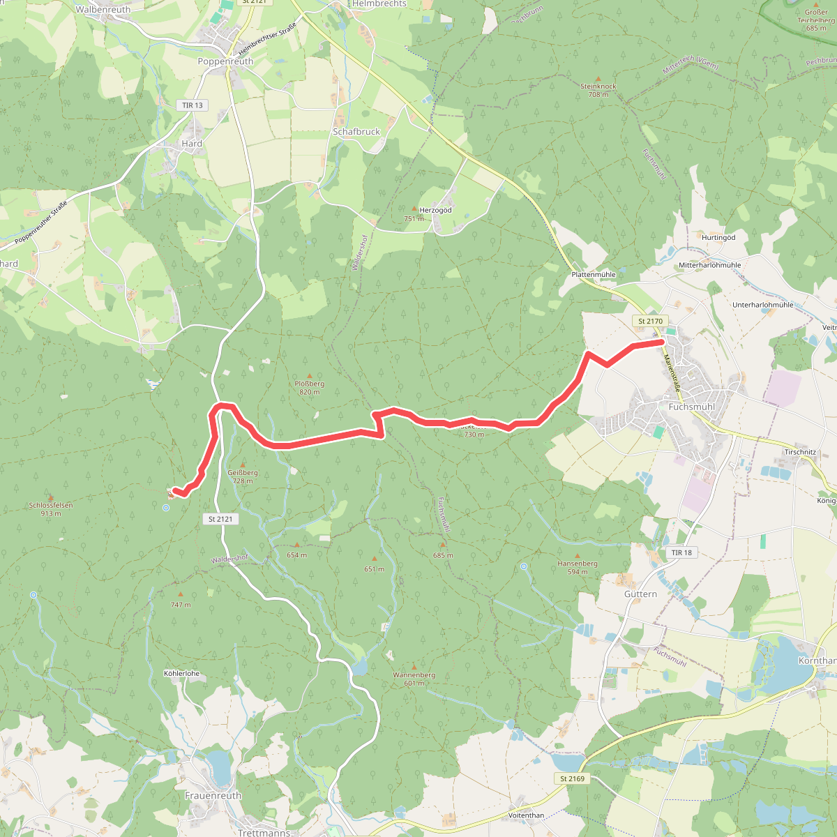
#11. Fuchsmühl-Ruine Weißenstein
Waldershof,Fuchsmühl
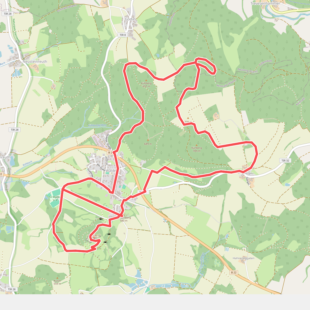
#12. GEO-Erlebnisweg Kemnather Land - Waldeckrunde
Pullenreuth




