The best hiking routes in Naturschutzgebiet Vilsalpsee
Discover the best walks in Naturschutzgebiet Vilsalpsee. 4 routes on the map, with descriptions, photos and GPX.
About Naturschutzgebiet Vilsalpsee
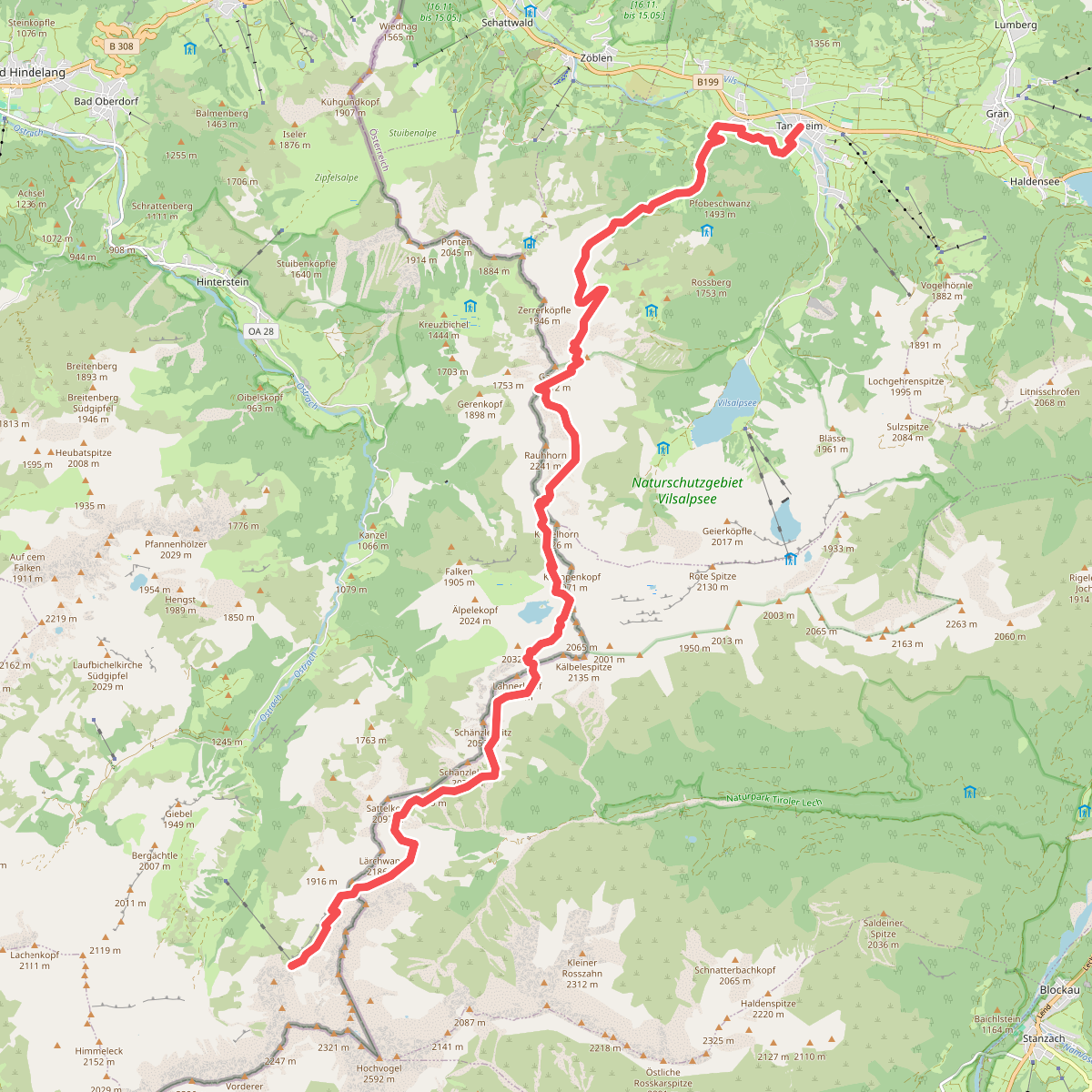
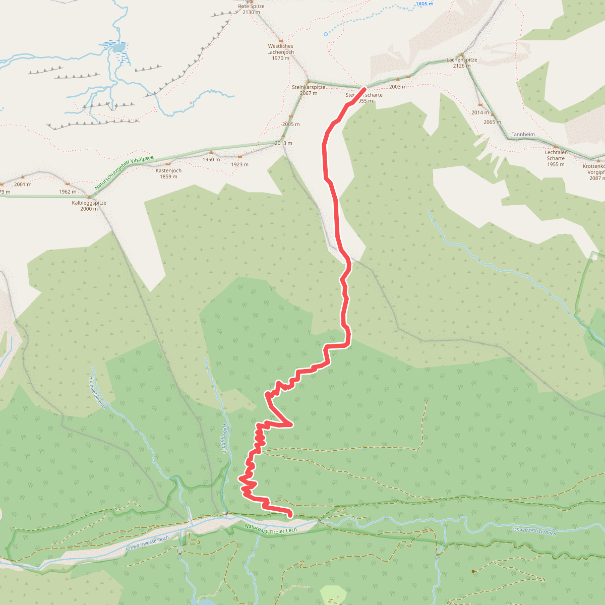
Naturschutzgebiet Vilsalpsee is a protected alpine valley in Tyrol, dominated by a deep, cold lake and surrounded by steep limestone cliffs. The terrain here is sharply divided between the flat, gravelly shores of the lake and the rugged, boulder-strewn paths that climb into the surrounding subalpine forests and meadows. Walkers should expect a mix of wide, paved or hard-packed gravel tracks along the eastern shore, which transition into narrow, root-crossed dirt trails on the western side and steeper, rocky scree paths heading up toward the higher ridges.
Read more
About Naturschutzgebiet Vilsalpsee
Naturschutzgebiet Vilsalpsee is a protected alpine valley in Tyrol, dominated by a deep, cold lake and surrounded by steep limestone cliffs. The terrain here is sharply divided between the flat, gravelly shores of the lake and the rugged, boulder-strewn paths that climb into the surrounding subalpine forests and meadows. Walkers should expect a mix of wide, paved or hard-packed gravel tracks along the eastern shore, which transition into narrow, root-crossed dirt trails on the western side and steeper, rocky scree paths heading up toward the higher ridges.
Read moreNaturschutzgebiet Vilsalpsee is a protected alpine valley in Tyrol, dominated by a deep, cold lake and surrounded by steep limestone cliffs. The terrain here is sharply divided between the flat, gravelly shores of the lake and the rugged, boulder-strewn paths that climb into the surrounding subalpine forests and meadows. Walkers should expect a mix of wide, paved or hard-packed gravel tracks along the eastern shore, which transition into narrow, root-crossed dirt trails on the western side and steeper, rocky scree paths heading up toward the higher ridges.
The landscape is shaped by active alpine erosion, visible in the massive talus slopes and avalanche paths that scar the mountain flanks. Along the water, wet alluvial forests of alder and willow thrive, while the higher slopes are dominated by spruce and mountain pine. In June, the alpine meadows above the tree line are marked by dense patches of blooming wildflowers, which contrast with the grey limestone walls.
This area is not a place for gentle, rolling hill walks; the transition from the flat lake basin to the vertical rock faces is abrupt. The flat path along the eastern shore is highly accessible and can become busy, while the steeper trails leading to the upper cirques require careful footwork over loose stones and are generally quieter.