The best hiking routes in Parc Natural de l'Albufera
Discover the best walks in Parc Natural de l'Albufera. 1 routes on the map, with descriptions, photos and GPX.
About Parc Natural de l'Albufera
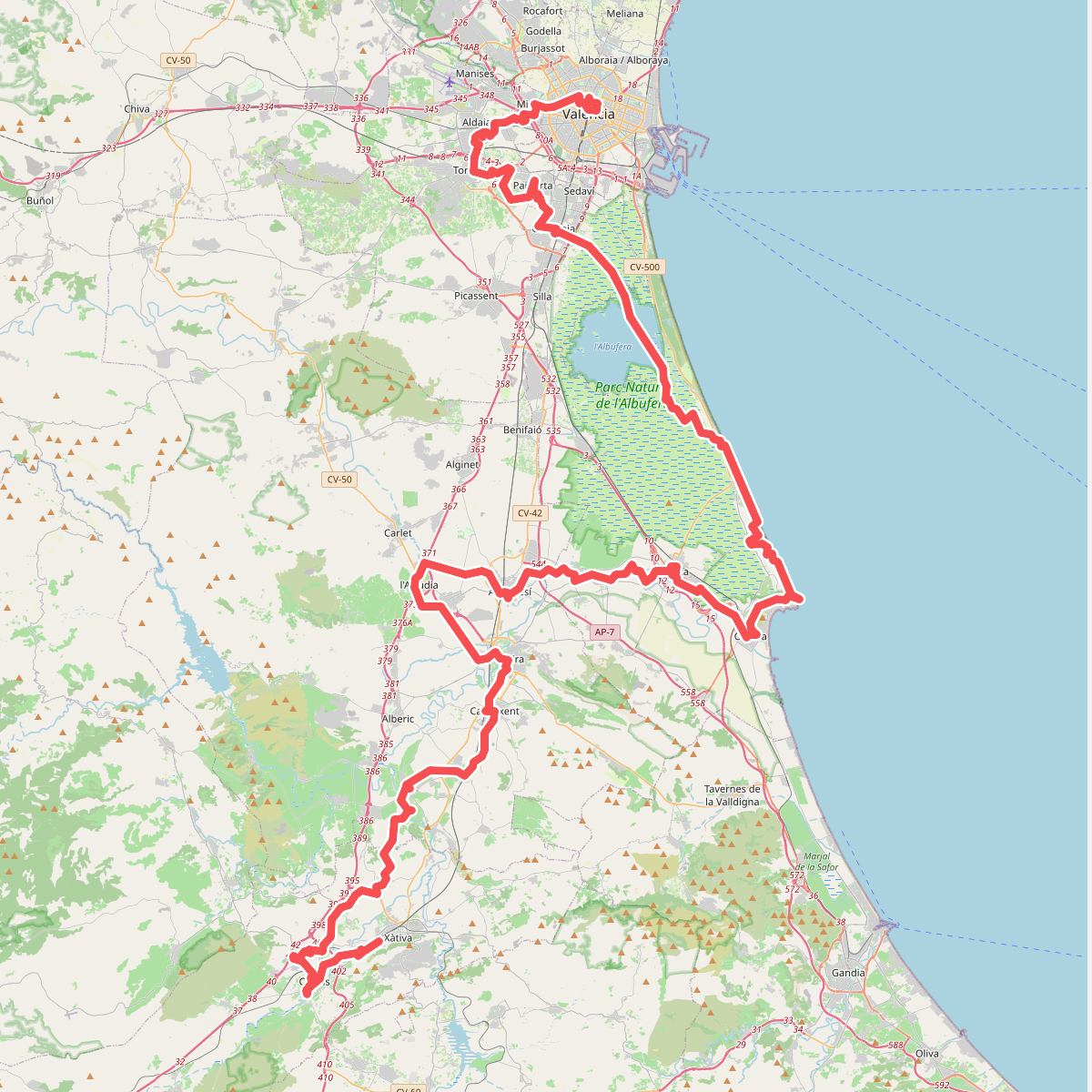
Parc Natural de l'Albufera is a coastal wetland dominated by a massive freshwater lagoon, extensive rice paddies, and a narrow pine-forested sand barrier known as the Devesa. For walkers, the experience changes completely depending on which side of the highway you choose. The western side consists of flat, open agricultural tracks running through rice fields that are flooded or dry depending on the agricultural cycle. The eastern coastal strip offers shaded dirt paths and wooden boardwalks winding through Mediterranean pine woods, stable dunes, and small salt marshes.
Read more
About Parc Natural de l'Albufera
Parc Natural de l'Albufera is a coastal wetland dominated by a massive freshwater lagoon, extensive rice paddies, and a narrow pine-forested sand barrier known as the Devesa. For walkers, the experience changes completely depending on which side of the highway you choose. The western side consists of flat, open agricultural tracks running through rice fields that are flooded or dry depending on the agricultural cycle. The eastern coastal strip offers shaded dirt paths and wooden boardwalks winding through Mediterranean pine woods, stable dunes, and small salt marshes.
Read moreParc Natural de l'Albufera is a coastal wetland dominated by a massive freshwater lagoon, extensive rice paddies, and a narrow pine-forested sand barrier known as the Devesa. For walkers, the experience changes completely depending on which side of the highway you choose. The western side consists of flat, open agricultural tracks running through rice fields that are flooded or dry depending on the agricultural cycle. The eastern coastal strip offers shaded dirt paths and wooden boardwalks winding through Mediterranean pine woods, stable dunes, and small salt marshes.
Underfoot, you will encounter loose sand on the dune trails, hard-packed dirt under the pines, and flat gravel or asphalt farm roads through the cultivation zones. The landscape is entirely flat, lacking any hills or elevated viewpoints, meaning your perspective is limited to eye-level vistas of reeds, water, and low shrubs. In late autumn, particularly around November, the rice harvest ends and the fields are flooded, transforming the agricultural zone into a vast, shallow mirror that attracts thousands of waterbirds.
The park is highly accessible from nearby Valencia, meaning the coastal Devesa paths and the main bird-watching observatories near El Palmar are often busy with visitors. If you prefer quiet walking, the long farm tracks through the southern rice fields see far fewer pedestrians, though they offer no shade from the sun. Walkers should choose this park for its coastal birdlife and distinct wetland ecosystems, rather than looking for varied topography or deep forest isolation.