


The best hiking routes in Parc naturel régional des Boucles de la Seine Normande
Discover the best walks in Parc naturel régional des Boucles de la Seine Normande. 48 routes on the map, with descriptions, photos and GPX.
About Parc naturel régional des Boucles de la Seine Normande
The Parc naturel régional des Boucles de la Seine Normande is shaped by the wide, looping bends of the tidal Seine river, creating a distinct contrast between the flat, marshy alluvial plains inside the loops and the steep, forested chalk cliffs that rise directly from the water. Walking here means transitioning quickly from damp, sea-level meadows to high, wooded paths along the plateau edges. You will notice how the river still dictates the vegetation, with reed beds and willow groves dominating the lowlands, while ancient beech forests cover the higher slopes.
Read more
About Parc naturel régional des Boucles de la Seine Normande
The Parc naturel régional des Boucles de la Seine Normande is shaped by the wide, looping bends of the tidal Seine river, creating a distinct contrast between the flat, marshy alluvial plains inside the loops and the steep, forested chalk cliffs that rise directly from the water. Walking here means transitioning quickly from damp, sea-level meadows to high, wooded paths along the plateau edges. You will notice how the river still dictates the vegetation, with reed beds and willow groves dominating the lowlands, while ancient beech forests cover the higher slopes.
Read moreThe Parc naturel régional des Boucles de la Seine Normande is shaped by the wide, looping bends of the tidal Seine river, creating a distinct contrast between the flat, marshy alluvial plains inside the loops and the steep, forested chalk cliffs that rise directly from the water. Walking here means transitioning quickly from damp, sea-level meadows to high, wooded paths along the plateau edges. You will notice how the river still dictates the vegetation, with reed beds and willow groves dominating the lowlands, while ancient beech forests cover the higher slopes.
Underfoot, the terrain varies from soft, muddy paths along the marshland dikes to firm, flint-strewn clay tracks through the forests of Brotonne and Roumare. In the lower valleys, particularly around the Marais Vernier, the ground is peaty and often crossed by drainage ditches, requiring you to stick to established paths and occasional wooden boardwalks. The higher plateau routes are drier but feature steady climbs up the chalk escarpments, where exposed white stone and flint are visible underfoot.
This park is not a wilderness of high peaks or deep gorges, but a working landscape of orchards, thatch-roofed cottages, and river traffic. While the forest interiors offer quiet, shaded walking, the paths closer to the riverbanks and historic abbeys like Jumièges are more frequented by visitors. Walking here in October reveals the changing colors of the beech canopy and the harvest in the apple orchards that line the valley floor.
Hiking routes in Parc naturel régional des Boucles de la Seine Normande (48)
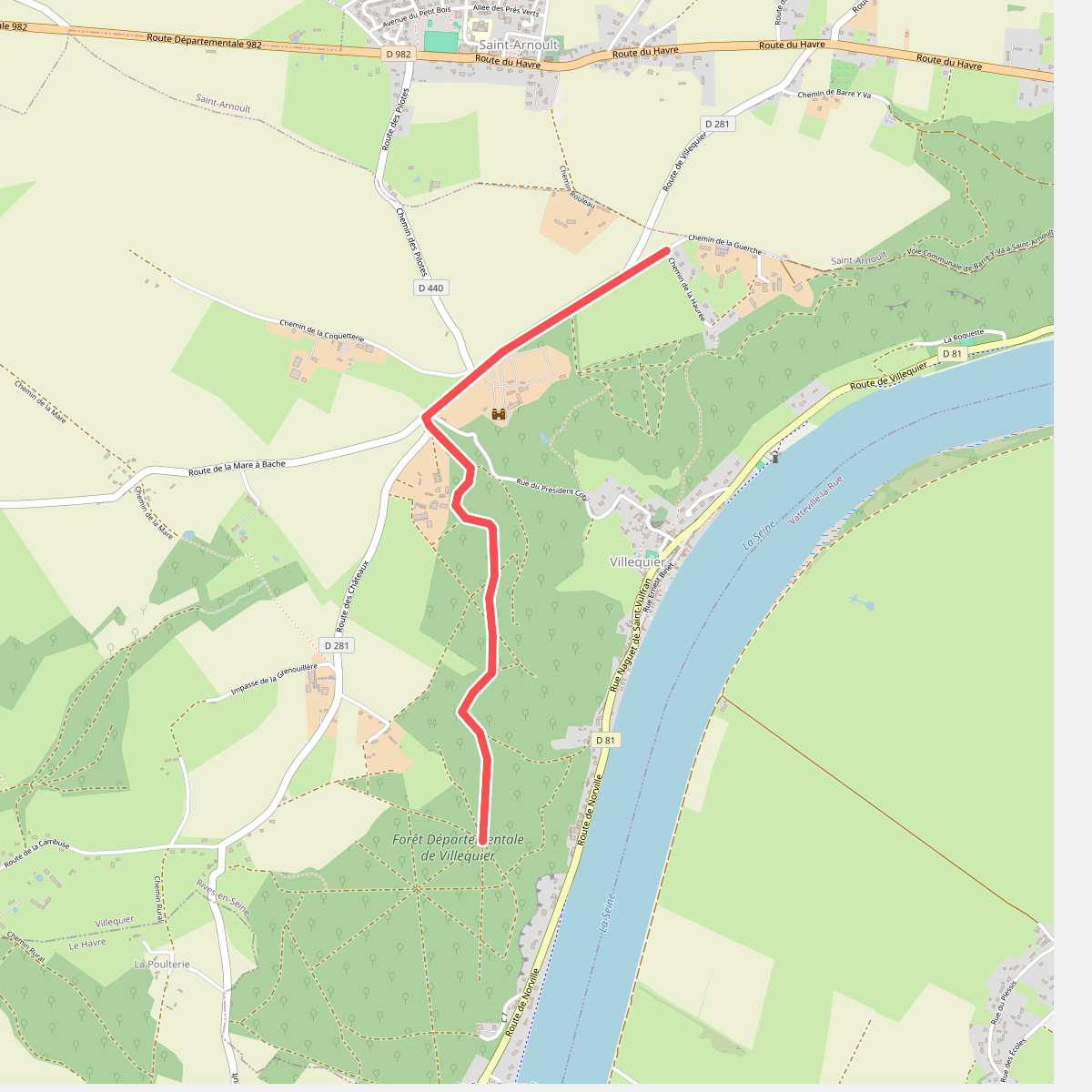
#1. Au fil de la Seine · Château de Villequier
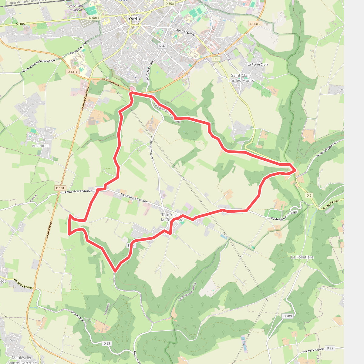
#2. Aux Portes d’Yvetot
Touffreville-la-Corbeline,Louvetot,Yvetot,Saint-Clair-sur-les-Monts,Croix-Mare
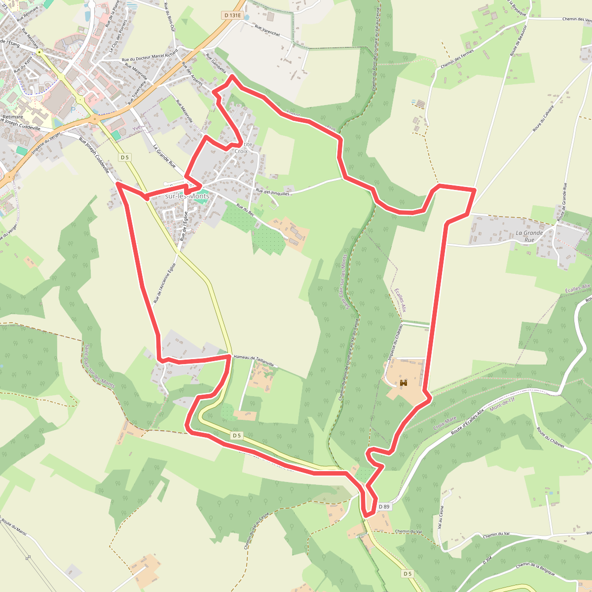
#3. Chemin de Boscol
Saint-Clair-sur-les-Monts,Écalles-Alix,Croix-Mare
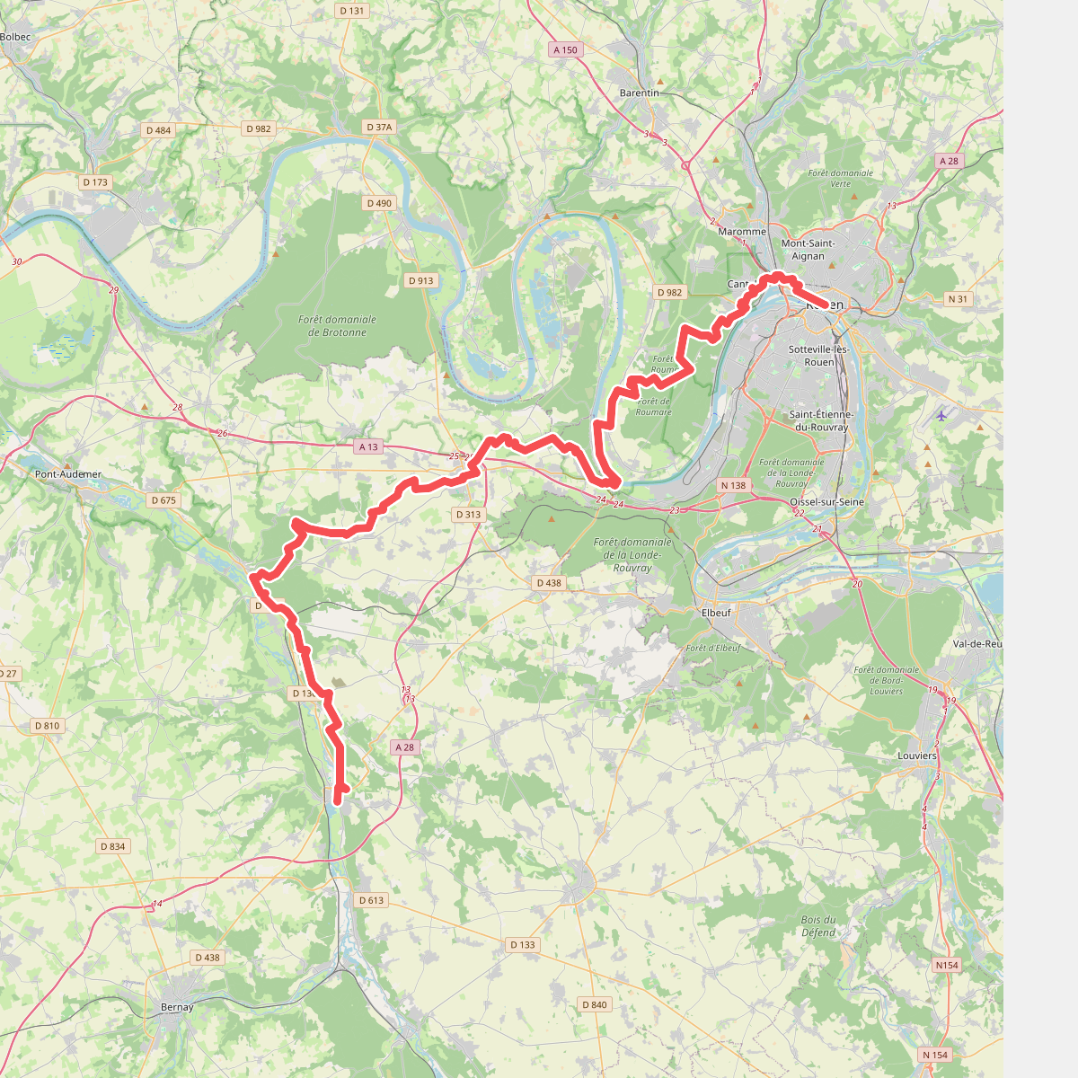
#4. Chemin de Rouen · Rouen – Brionne
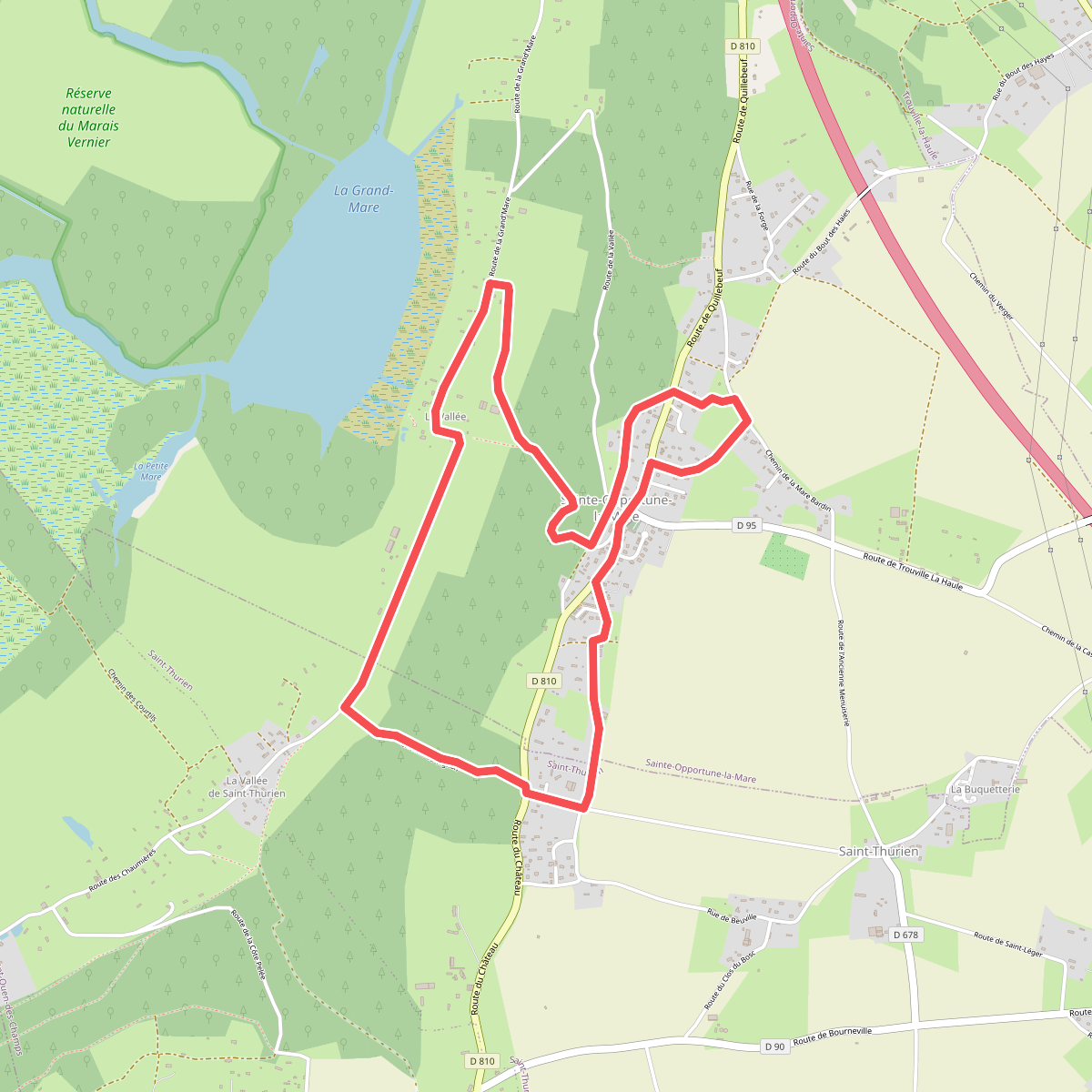
#5. Chemin pédestre de l'Allée des Granges
Sainte-Opportune-la-Mare,Le Perrey
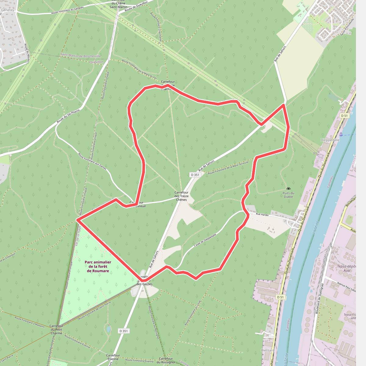
#6. Circuit des Treize Chênes
Canteleu,Val-de-la-Haye
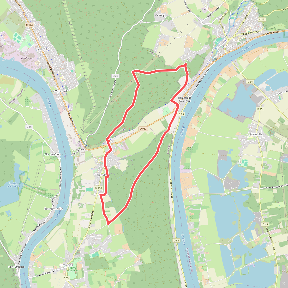
#7. Circuits des Forêts
Duclair,Le Trait,Yainville,Jumièges
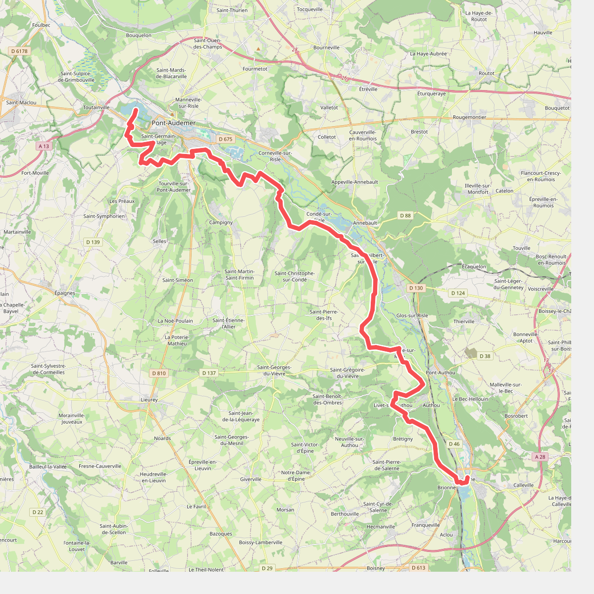
#8. De Brionne à Pont-Audemer
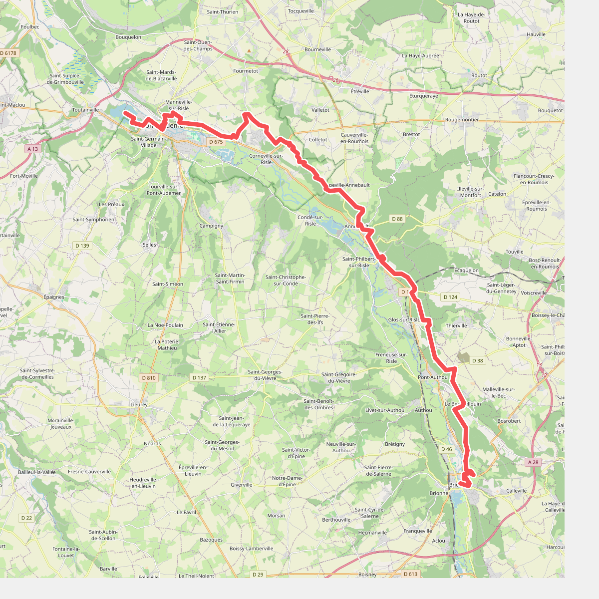
#9. De Brionne à Pont-Audemer, variante rive droite
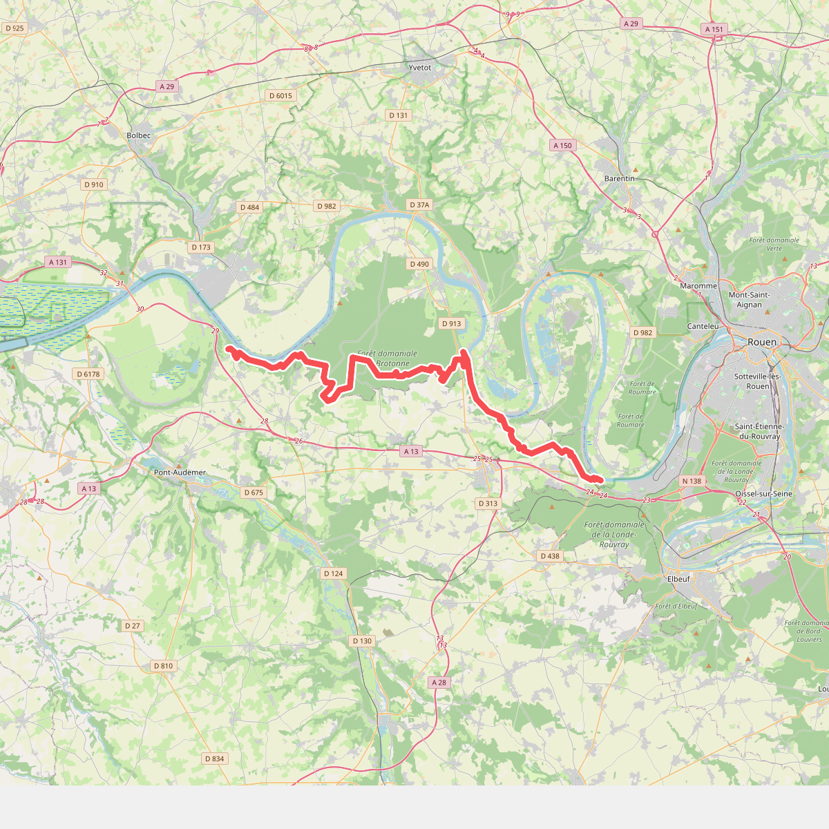
#10. De La Bouille à Trouville
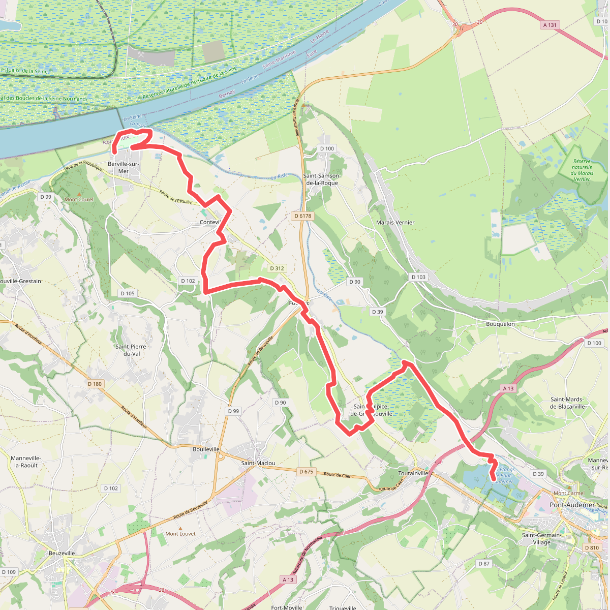
#11. De Pont-Audemer à Berville-sur-mer
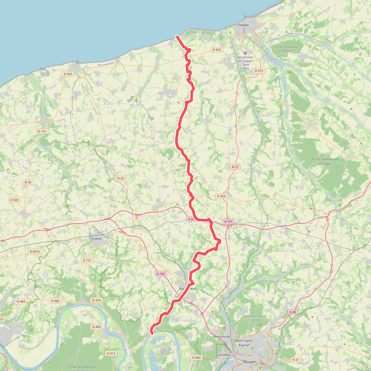
#12. De Sainte-Marguerite-sur-Mer à Duclair
Sainte-Marguerite-sur-Mer,Longueil,Saint-Denis-d'Aclon,Ouville-la-Rivière,Avremesnil,Ambrumesnil,Gueures,Brachy,Lammerville,Royville,Saâne-Saint-Just,Auzouville-sur-Saâne,Lestanville,Saint-Pierre-Bénouville,Val-de-Saâne,Bourdainville,Ancretiéville-Saint-Victor,Gueutteville,Butot,Sainte-Austreberthe,Goupillières,Pavilly,Barentin,Villers-Écalles,Saint-Paër,Duclair




