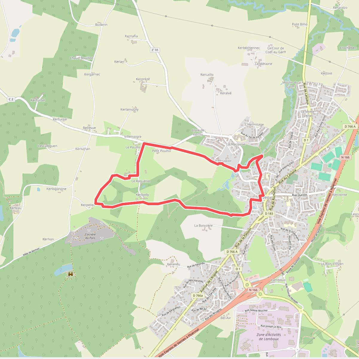
The best hiking routes in Parc naturel régional du Golfe du Morbihan
Discover the best walks in Parc naturel régional du Golfe du Morbihan. 67 routes on the map, with descriptions, photos and GPX.
About Parc naturel régional du Golfe du Morbihan
The Parc naturel régional du Golfe du Morbihan is a vast, sheltered inland sea in southern Brittany where the landscape is dictated by the daily rhythm of the tides. Unlike the high, rocky cliffs of the outer Atlantic coast, this park consists of low-lying salt marshes, mudflats, and a maze of small islands. Walkers will find a terrain shaped by oyster farming and tidal currents, where narrow coastal paths wind through pine groves and past old stone tide mills. Underfoot, the paths alternate between hard-packed dirt, sandy tracks, and sections of loose shingle, with wooden footbridges crossing the marshy inlets.
Read more
About Parc naturel régional du Golfe du Morbihan
The Parc naturel régional du Golfe du Morbihan is a vast, sheltered inland sea in southern Brittany where the landscape is dictated by the daily rhythm of the tides. Unlike the high, rocky cliffs of the outer Atlantic coast, this park consists of low-lying salt marshes, mudflats, and a maze of small islands. Walkers will find a terrain shaped by oyster farming and tidal currents, where narrow coastal paths wind through pine groves and past old stone tide mills. Underfoot, the paths alternate between hard-packed dirt, sandy tracks, and sections of loose shingle, with wooden footbridges crossing the marshy inlets.
Read moreThe Parc naturel régional du Golfe du Morbihan is a vast, sheltered inland sea in southern Brittany where the landscape is dictated by the daily rhythm of the tides. Unlike the high, rocky cliffs of the outer Atlantic coast, this park consists of low-lying salt marshes, mudflats, and a maze of small islands. Walkers will find a terrain shaped by oyster farming and tidal currents, where narrow coastal paths wind through pine groves and past old stone tide mills. Underfoot, the paths alternate between hard-packed dirt, sandy tracks, and sections of loose shingle, with wooden footbridges crossing the marshy inlets.
Depending on the tide, the views change completely twice a day, exposing vast mudflats where wading birds feed, then filling the basin with seawater that reaches the edge of the oak woods. In autumn, particularly around October, the salt marshes turn deep shades of red and orange as the glasswort changes color. The terrain is flat to gently undulating, with no steep climbs or deep valleys, making it suitable for steady, rhythmic walking rather than strenuous hiking.
While the popular coastal path, the GR34, is well-marked and easy to follow, it can become busy near towns like Vannes or Baden. Seeking out the quieter paths on the Presqu'île de Rhuys or the interior trails through the gorse-covered heaths offers a more solitary experience. Walkers should expect some detours around private oyster beds and tidal inlets, which require following the shoreline closely rather than cutting straight across the landscape.
Hiking routes in Parc naturel régional du Golfe du Morbihan (67)
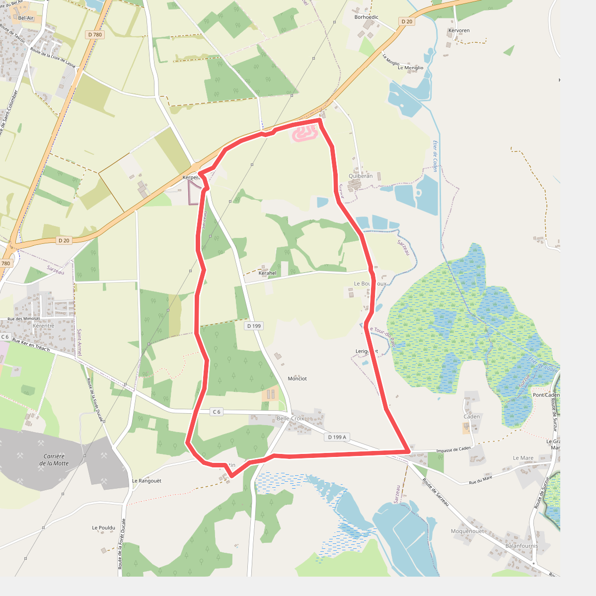
#1. Au cœur de la forêt
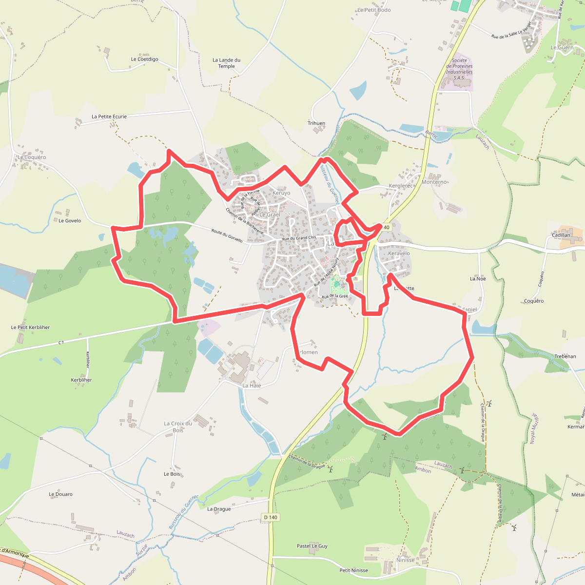
#2. Boucle du Guernec
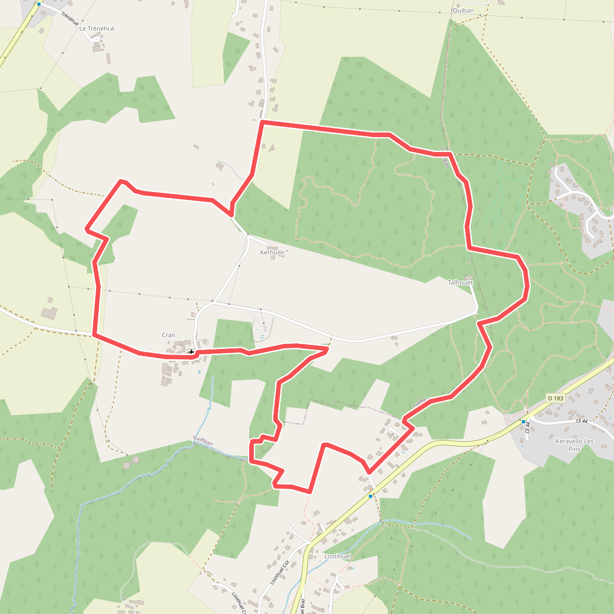
#3. Chemin de Cran
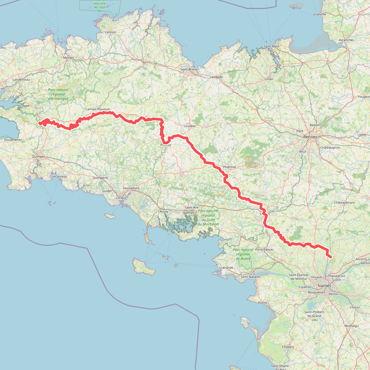
#4. Chemin de Halage du Canal de Nantes à Brest
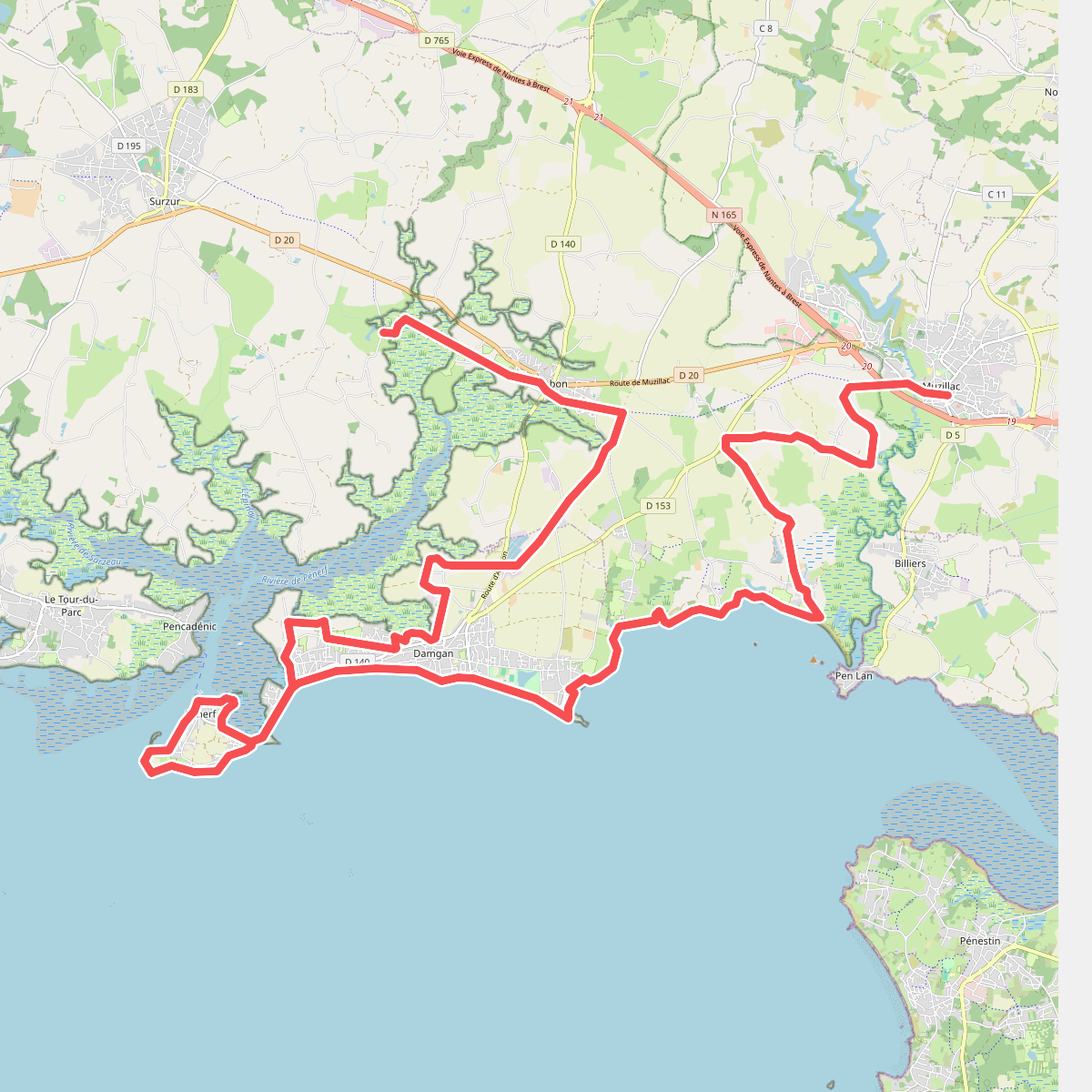
#5. Chemin des Douaniers, Ambon - Muzillac
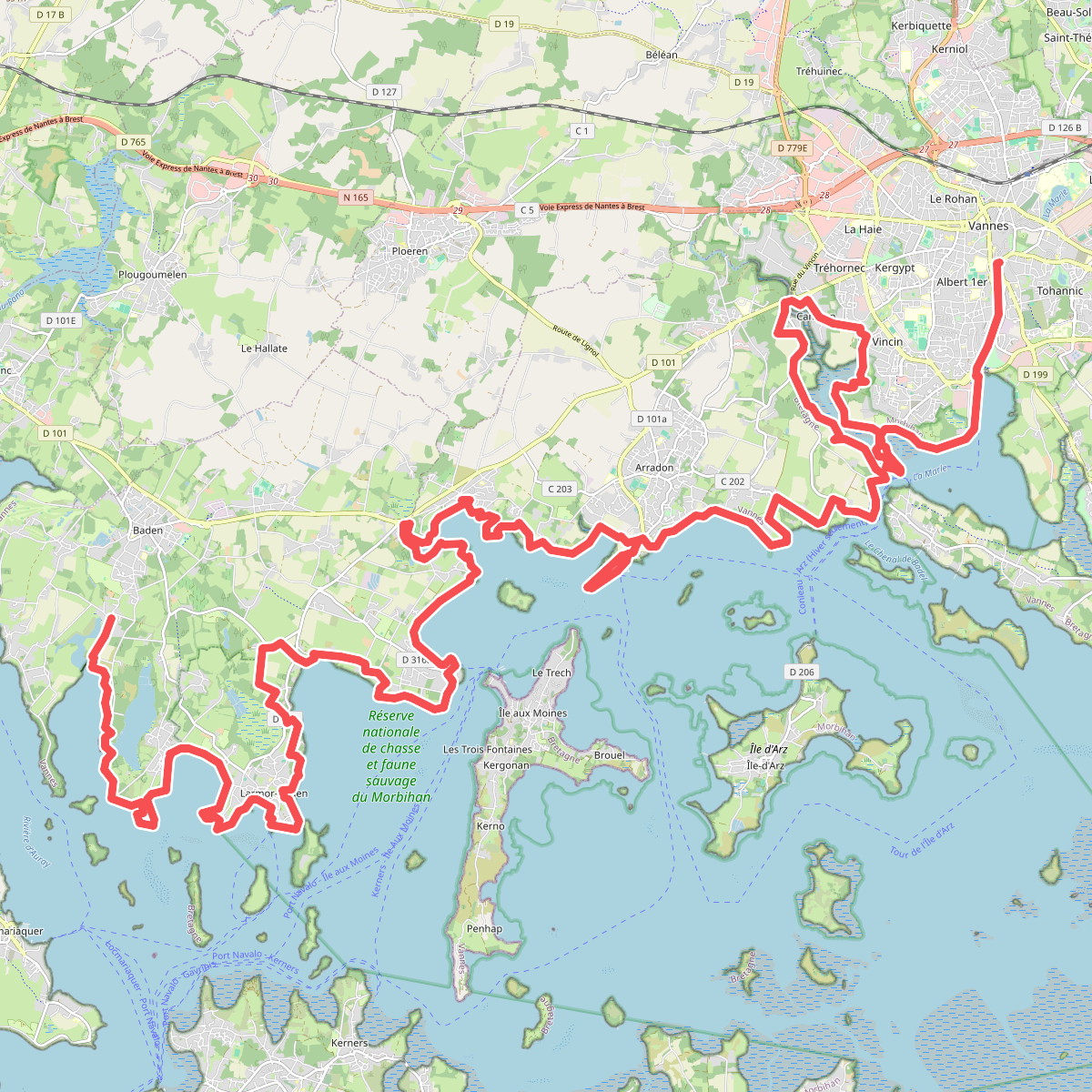
#6. Chemin des Douaniers, Baden - Vannes
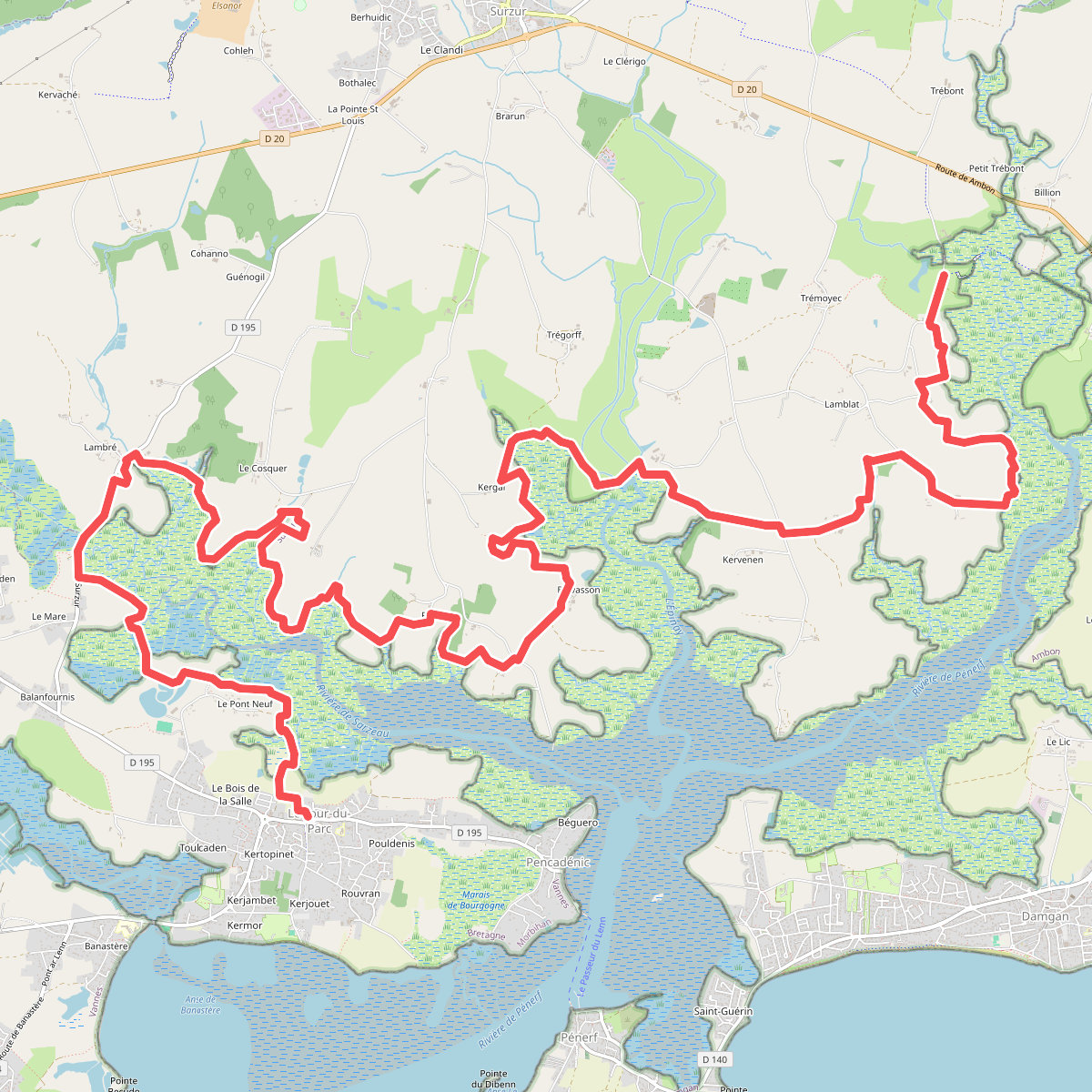
#7. Chemin des Douaniers, Le Tour-du-Parc - Ambon
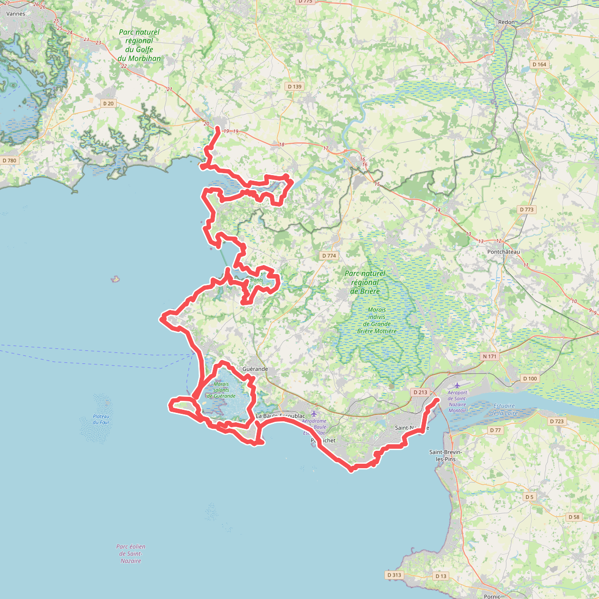
#8. Chemin des Douaniers, Muzillac - Saint-Nazaire
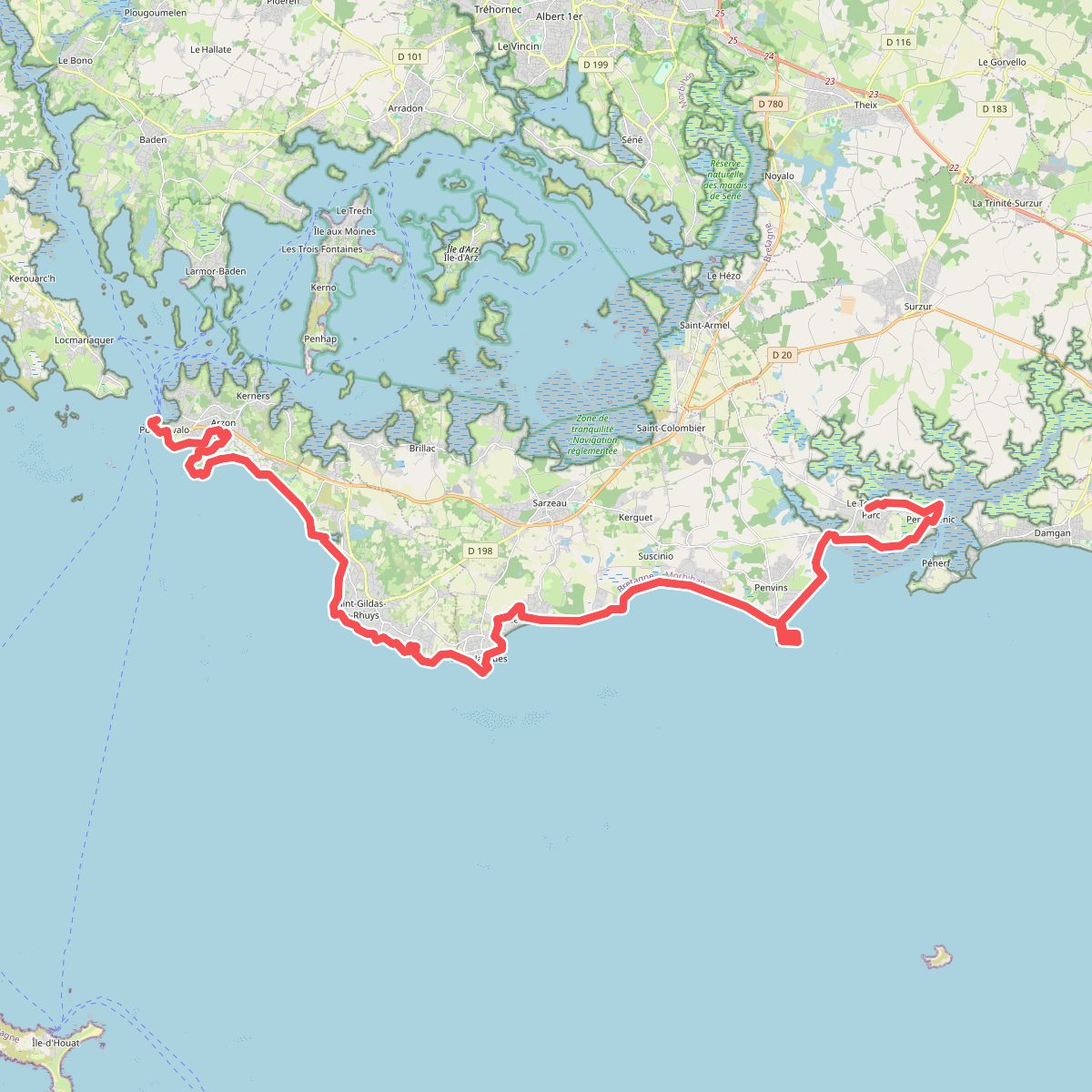
#9. Chemin des Douaniers, Port-Navalo - Le Tour-du-Parc
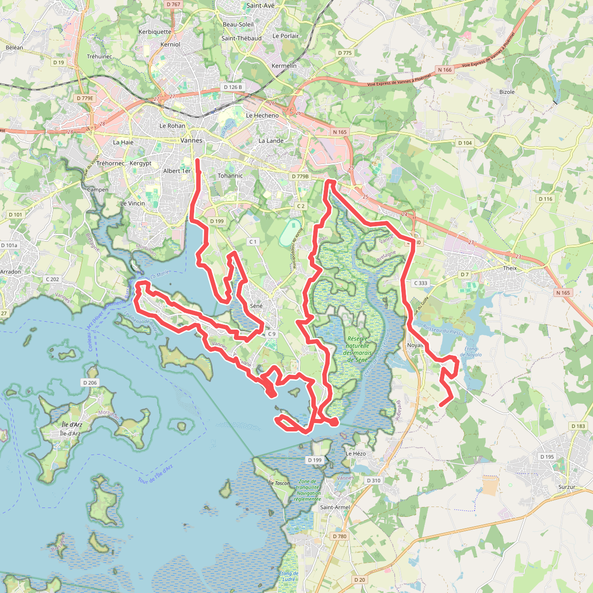
#10. Chemin des Douaniers, Vannes - Noyalo
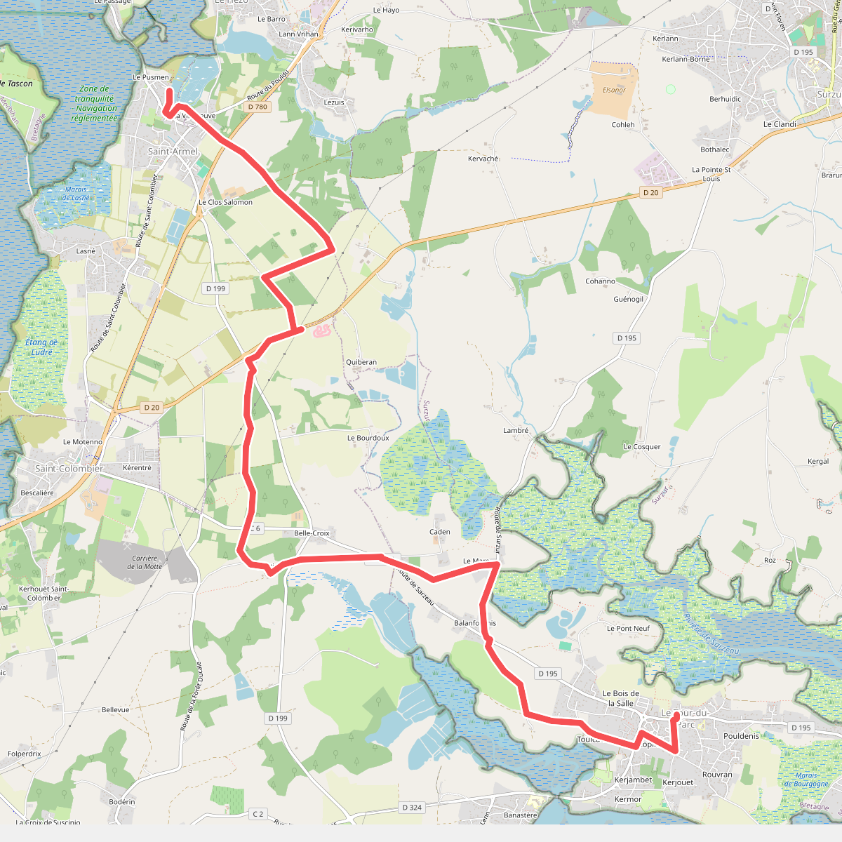
#11. Chemin des Douaniers, variante à vérifier