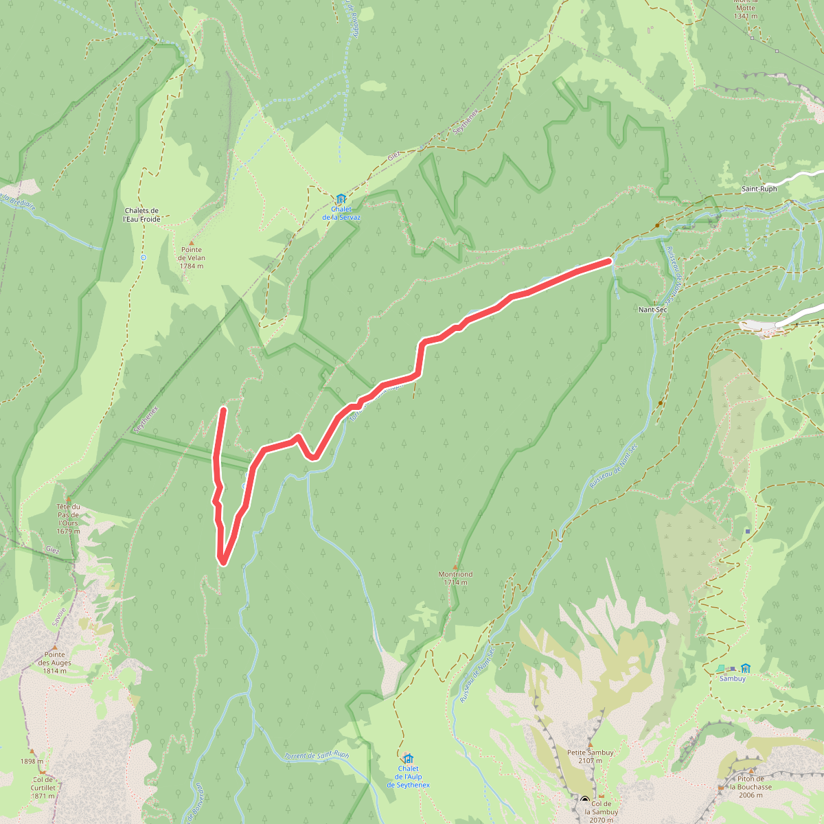
The best hiking routes in Parc naturel régional du Massif des Bauges
Discover the best walks in Parc naturel régional du Massif des Bauges. 68 routes on the map, with descriptions, photos and GPX.
About Parc naturel régional du Massif des Bauges
The Parc naturel régional du Massif des Bauges is a limestone fortress rising between Chambéry and Annecy. Unlike the high, glaciated peaks of the neighboring Mont Blanc massif, this park is characterized by a series of folded limestone ridges known as synclines, separated by deep, green valleys. Walkers will notice how the terrain transitions abruptly from dense beech and fir forests on the lower slopes to steep, grey cliffs and high alpine pastures, or alpages, where dairy herds graze.
Read more
About Parc naturel régional du Massif des Bauges
The Parc naturel régional du Massif des Bauges is a limestone fortress rising between Chambéry and Annecy. Unlike the high, glaciated peaks of the neighboring Mont Blanc massif, this park is characterized by a series of folded limestone ridges known as synclines, separated by deep, green valleys. Walkers will notice how the terrain transitions abruptly from dense beech and fir forests on the lower slopes to steep, grey cliffs and high alpine pastures, or alpages, where dairy herds graze.
Read moreThe Parc naturel régional du Massif des Bauges is a limestone fortress rising between Chambéry and Annecy. Unlike the high, glaciated peaks of the neighboring Mont Blanc massif, this park is characterized by a series of folded limestone ridges known as synclines, separated by deep, green valleys. Walkers will notice how the terrain transitions abruptly from dense beech and fir forests on the lower slopes to steep, grey cliffs and high alpine pastures, or alpages, where dairy herds graze.
Underfoot, the paths vary from soft, pine-needle-strewn forest tracks to sharp, loose limestone scree on the higher ridges. The limestone geology means water disappears quickly from the surface, creating a dry, karst landscape on the summits where you will find sinkholes and lapiaz formations, which are limestone pavements deeply grooved by rainwater. In contrast, the valley floors are fed by clear mountain streams that have carved out narrow gorges, such as the Gorges du Chéran.
In June, the high pastures are filled with wildflowers, making this the ideal time to explore the ridges before the summer heat. While the valleys are easily accessible and contain quiet farming hamlets, reaching the summits requires navigating steep, rocky paths that demand steady footwork. The park offers a quieter, more agricultural mountain experience than the high-altitude ski resorts nearby, focusing on working landscapes and traditional cheese-making villages.
Hiking routes in Parc naturel régional du Massif des Bauges (68)
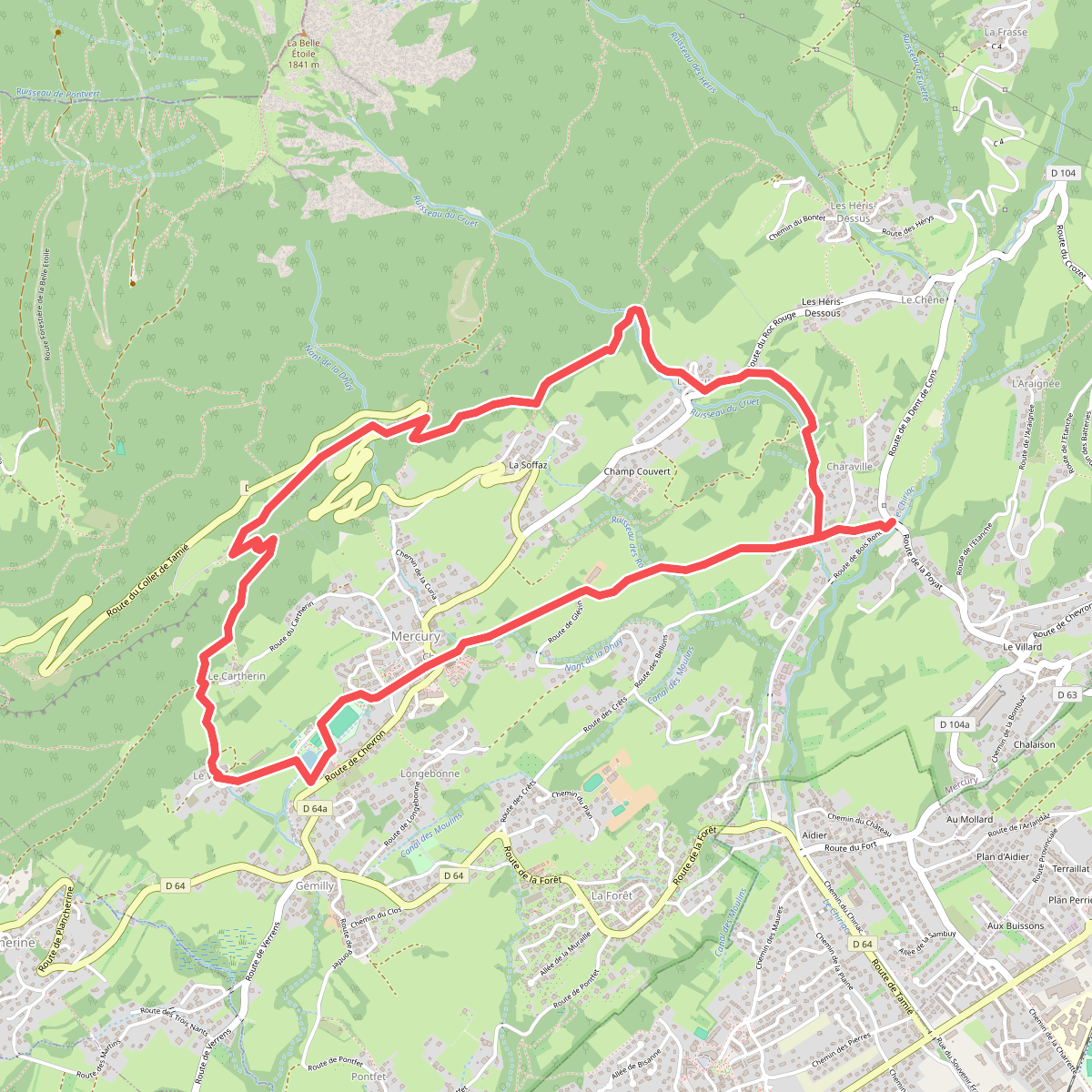
#1. À la découverte de Mercury
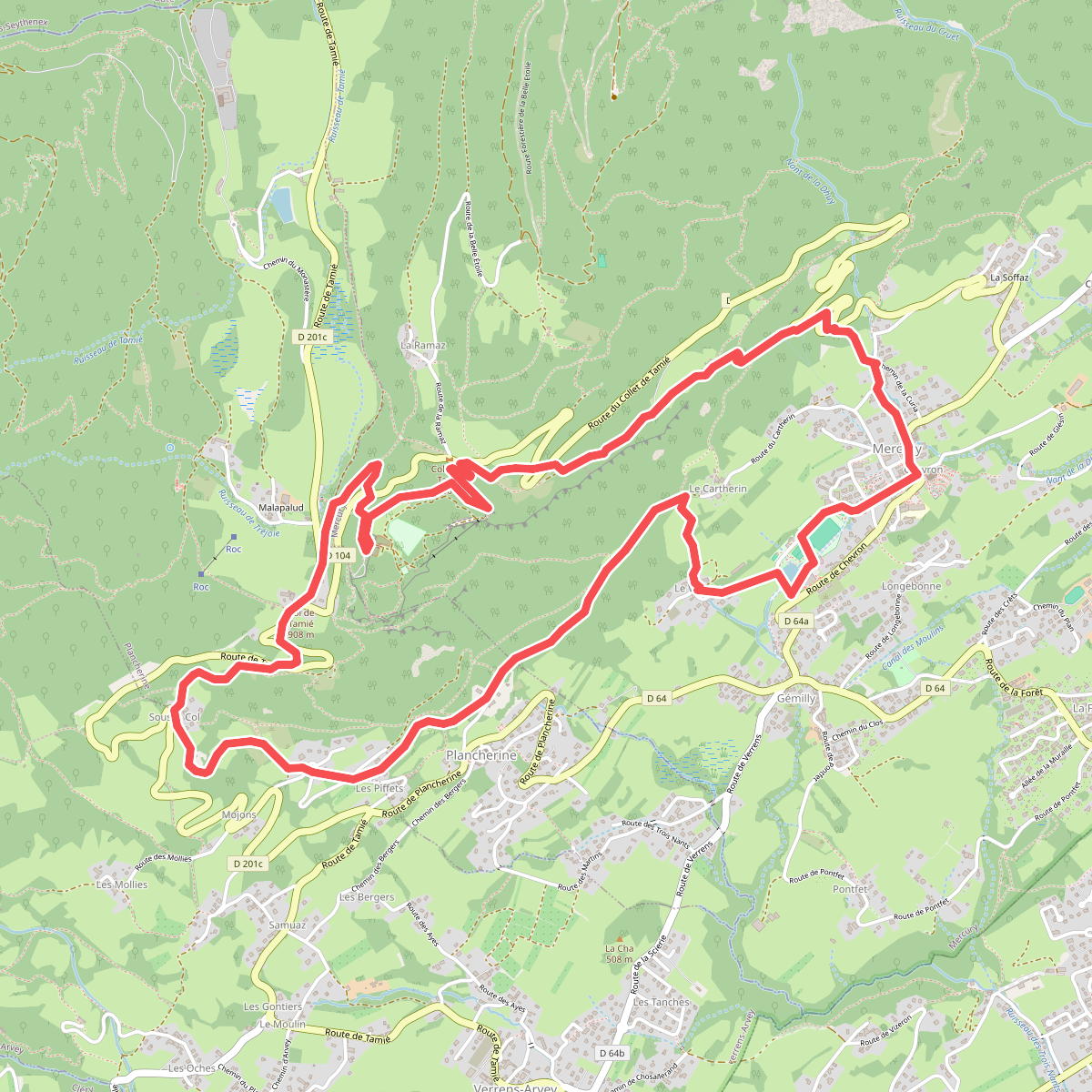
#2. À l'assaut du fort de Tamié
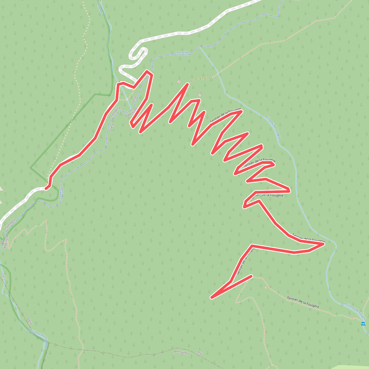
#3. Boucle de la Fougère · Chemin du Gros Fayard – La Fougère
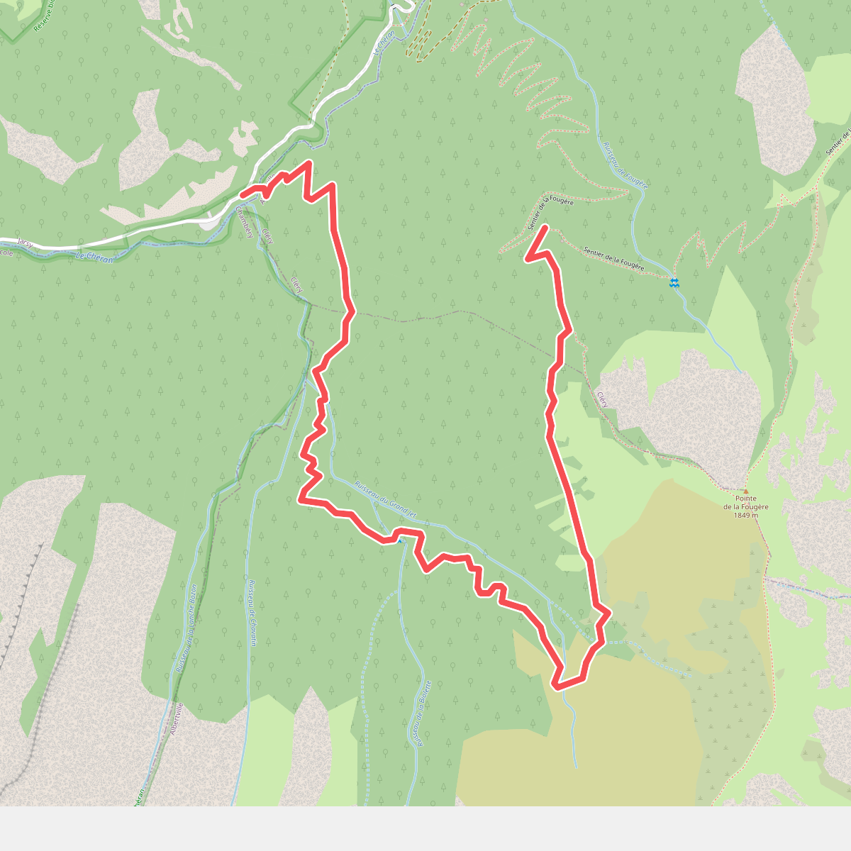
#4. Boucle de la Fougère · Deelroute
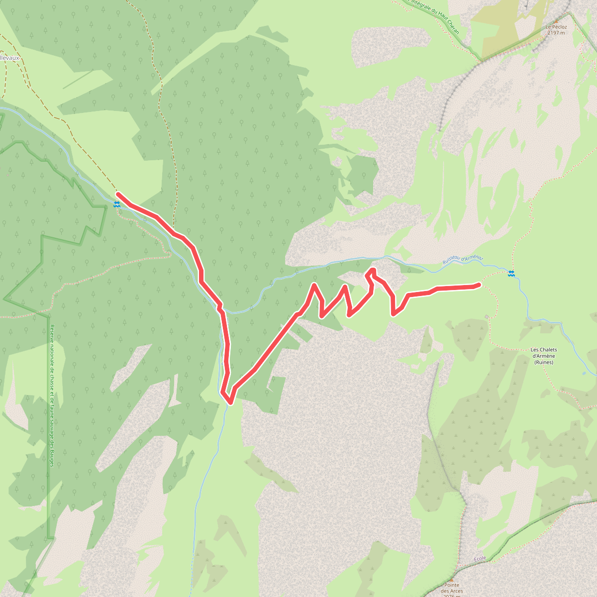
#5. Boucle de l'Armenaz · Deelroute
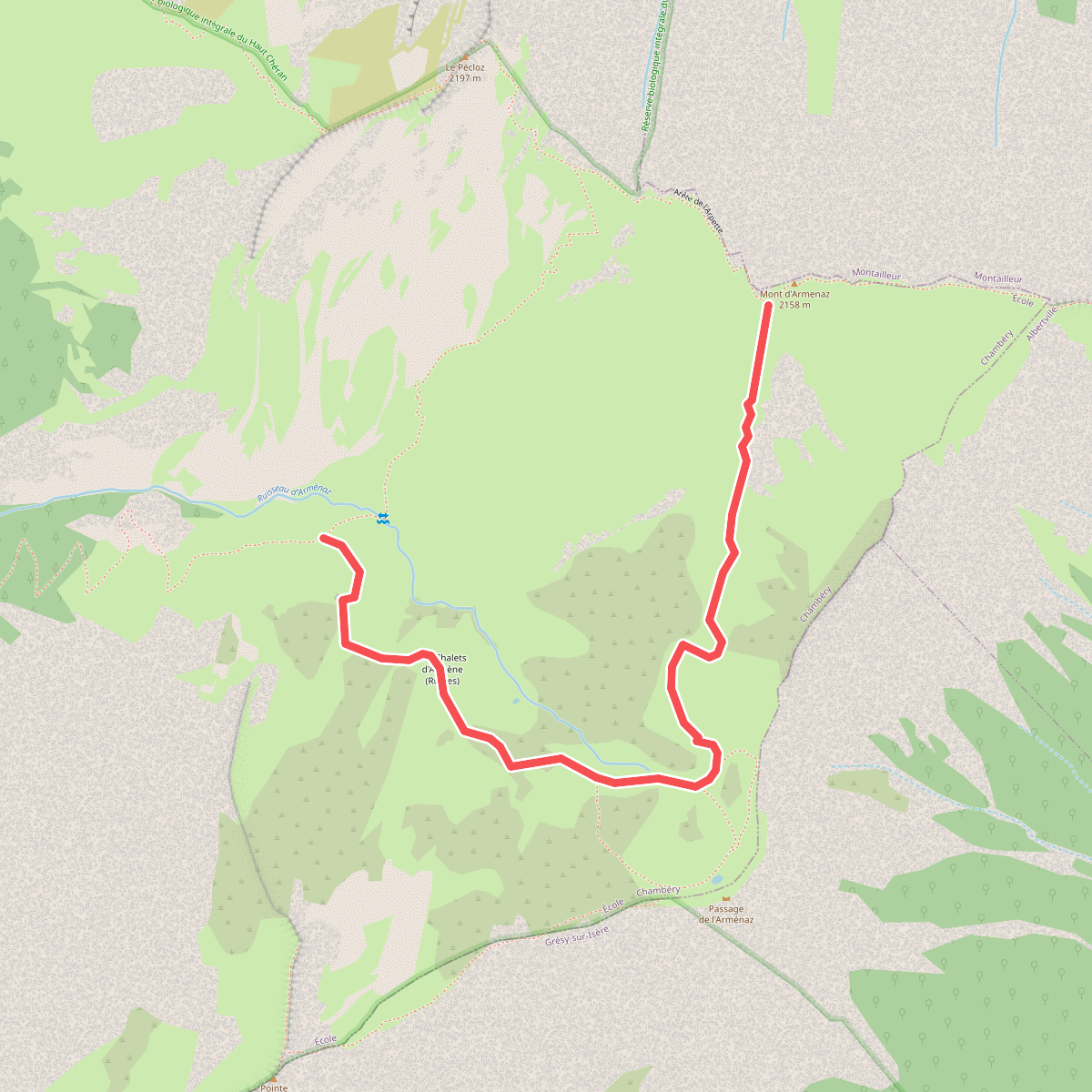
#6. Boucle de l'Armenaz · Deelroute
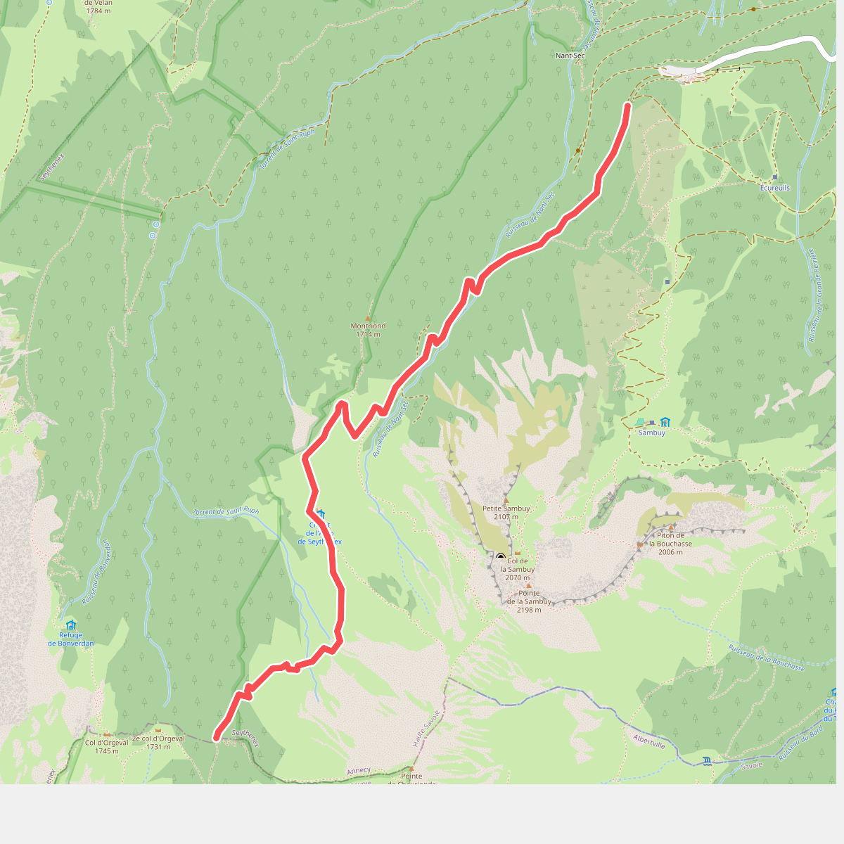
#7. Boucle de Saint-Ruph · Deelroute
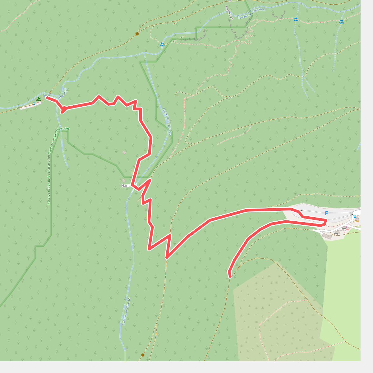
#8. Boucle de Saint-Ruph · Deelroute
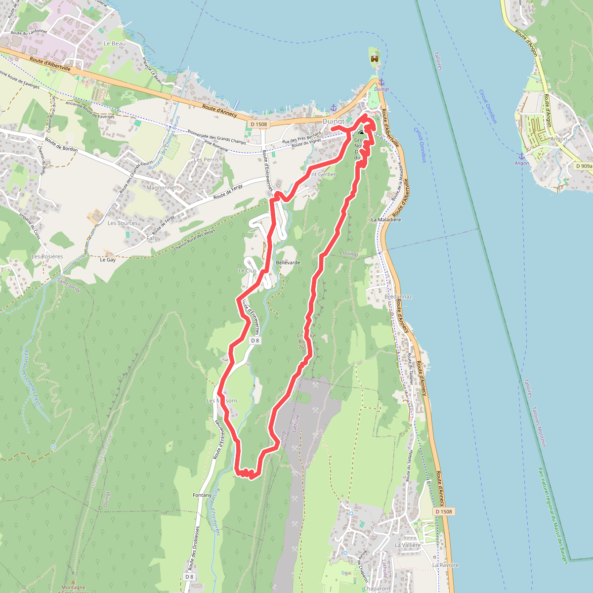
#9. Boucle du Taillefer
Duingt,Doussard
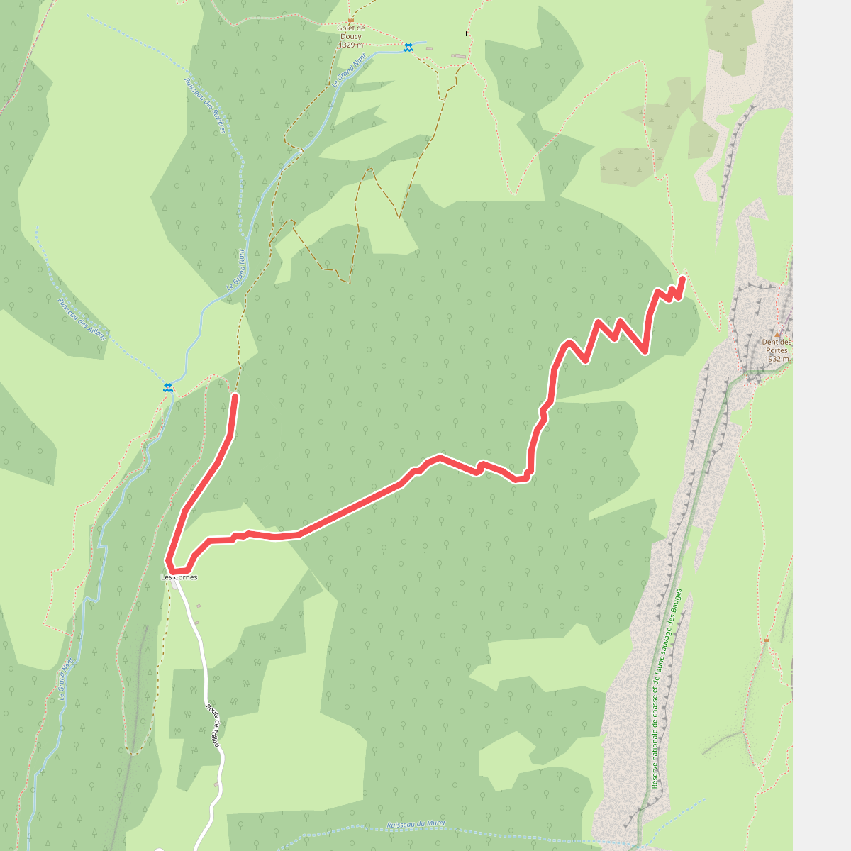
#10. Boucle du Trélod · Deelroute
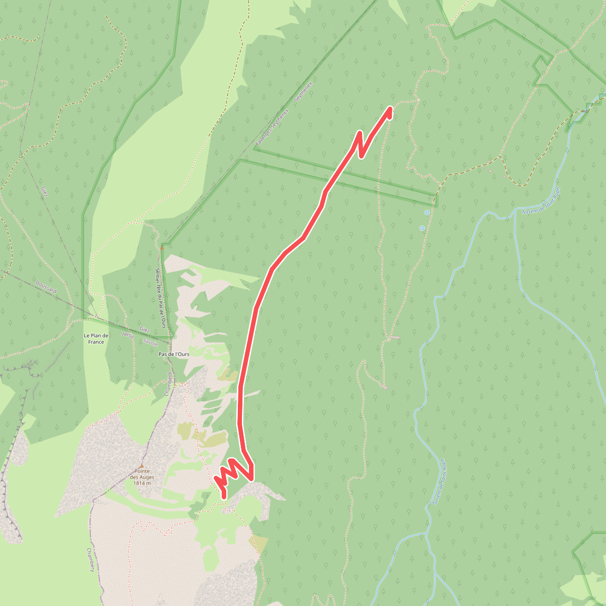
#11. Boucle du Vélan · Deelroute