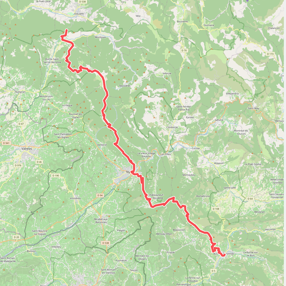
The best hiking routes in Parc naturel régional du Mont-Ventoux
Discover the best walks in Parc naturel régional du Mont-Ventoux. 17 routes on the map, with descriptions, photos and GPX.
Managed by Syndicat Mixte d'Aménagement et d'Equipement du Mont Ventoux et de Préfiguration du projet de Parc Naturel Régional du Mont Ventoux
About Parc naturel régional du Mont-Ventoux
The Parc naturel régional du Mont-Ventoux is defined by a stark transition from Mediterranean oak and pine forests to a barren, limestone summit that resembles an alpine scree field. Walking here means choosing between the sheltered, shaded paths of the lower slopes and the exposed, rocky tracks of the high ridge. The lower valleys feature active agricultural landscapes of vineyards and olive groves, where the paths are often wide dirt tracks. As you climb, the vegetation thins out, replaced by white limestone gravel underfoot that reflects the light and heat.
Read more
About Parc naturel régional du Mont-Ventoux
The Parc naturel régional du Mont-Ventoux is defined by a stark transition from Mediterranean oak and pine forests to a barren, limestone summit that resembles an alpine scree field. Walking here means choosing between the sheltered, shaded paths of the lower slopes and the exposed, rocky tracks of the high ridge. The lower valleys feature active agricultural landscapes of vineyards and olive groves, where the paths are often wide dirt tracks. As you climb, the vegetation thins out, replaced by white limestone gravel underfoot that reflects the light and heat.
Read moreThe Parc naturel régional du Mont-Ventoux is defined by a stark transition from Mediterranean oak and pine forests to a barren, limestone summit that resembles an alpine scree field. Walking here means choosing between the sheltered, shaded paths of the lower slopes and the exposed, rocky tracks of the high ridge. The lower valleys feature active agricultural landscapes of vineyards and olive groves, where the paths are often wide dirt tracks. As you climb, the vegetation thins out, replaced by white limestone gravel underfoot that reflects the light and heat.
On the upper slopes, the landscape is shaped by intense erosion and forestry history, visible in the distinct belts of planted cedar and larch trees. The summit ridge itself is devoid of vegetation, offering a vast expanse of loose stone and shattered limestone plates where the path is marked by simple cairns. Unlike softer, rolling hills, this terrain is steep and unforgiving, requiring careful footwork on loose scree and sharp rock edges.
In June, the lower lavender fields near Sault are in bloom, contrasting with the grey stone of the higher limestone cliffs. While the summit area around the observatory attracts many visitors, the deep gorges on the northern face, such as the Toulourenc valley, offer narrower, quieter paths along stony riverbeds. Walkers should expect steep gradients and rough, stony ground rather than gentle, grassy meadows.
Hiking routes in Parc naturel régional du Mont-Ventoux (17)
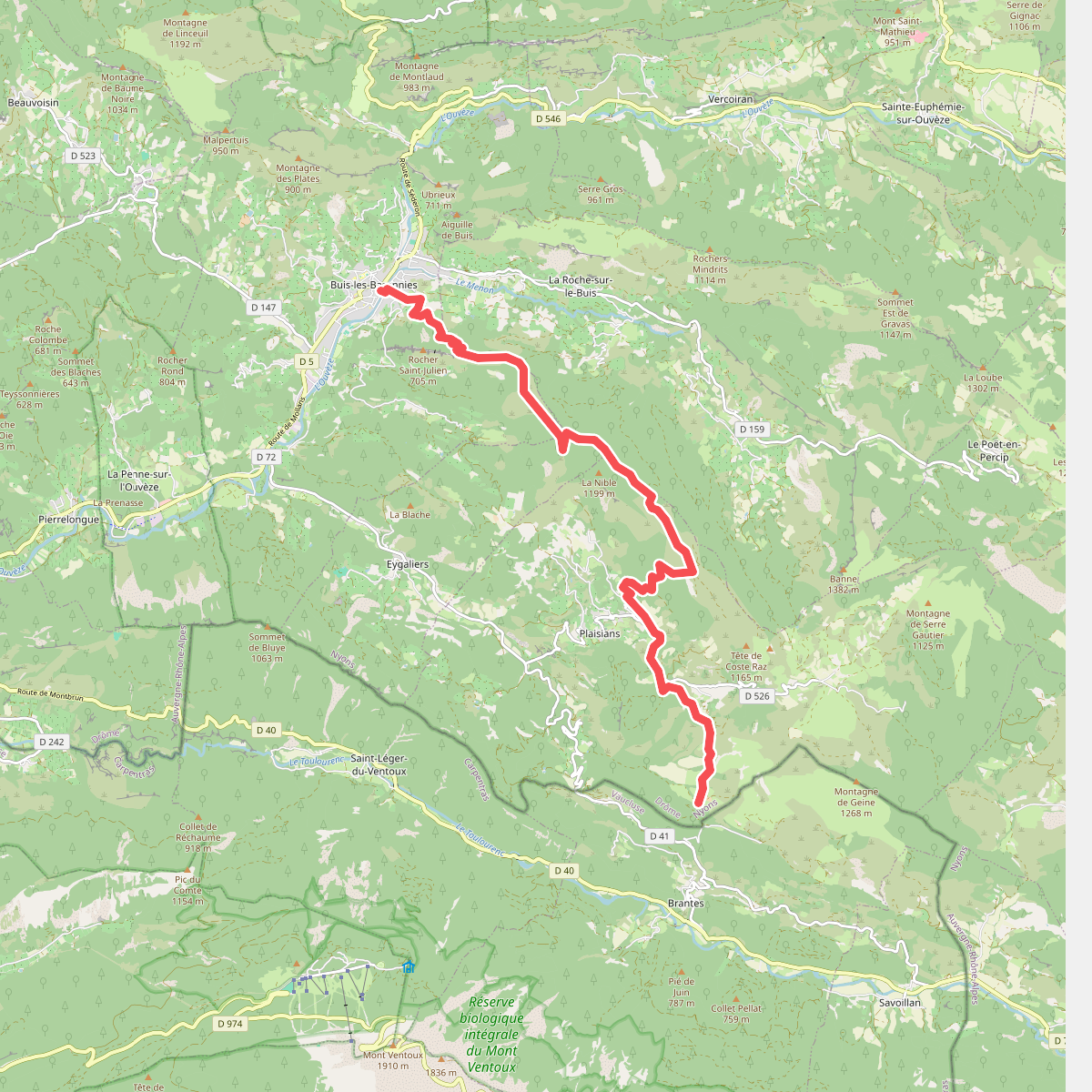
#1. Chemin de randonnée Européen E4, partie française · Buis-les-Baronnies – Ruisseau de Sénaris
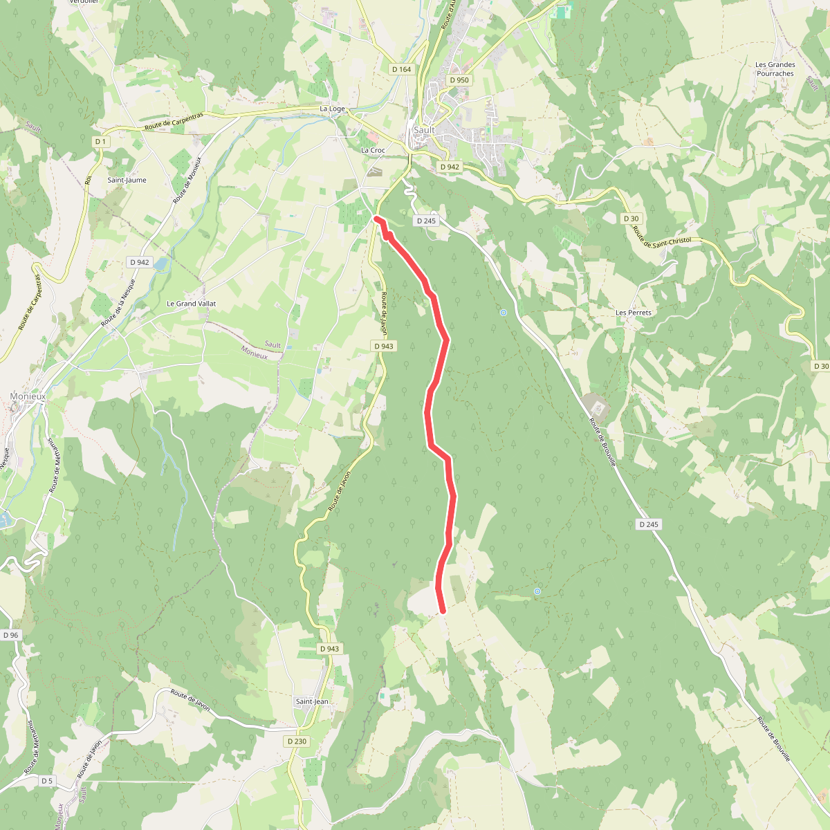
#2. De la Méditerranée à l'Océan · Chapelle St-Pierre-des-Grès - Coteau de la Meynière
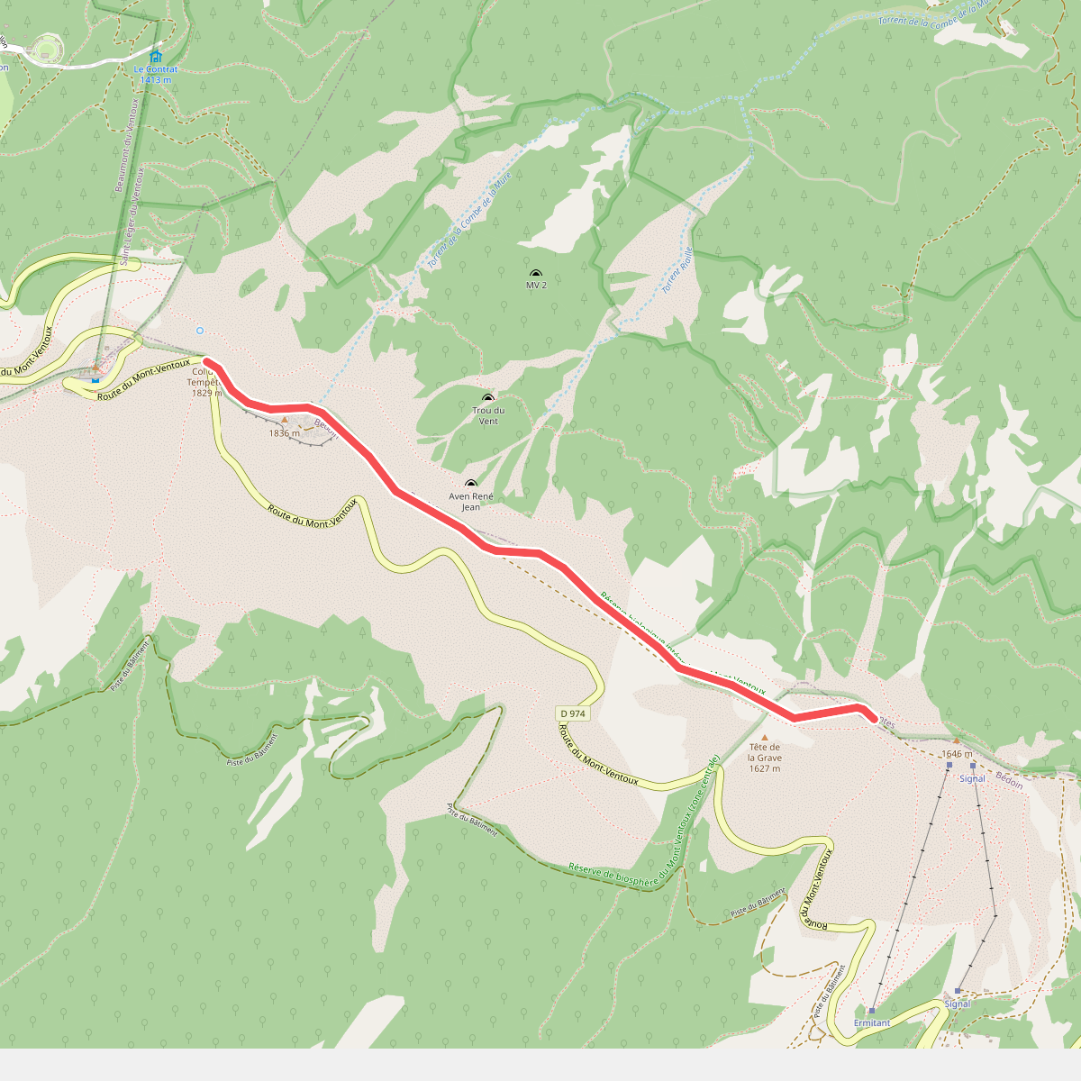
#3. De la Méditerranée à l'Océan · Col des Tempêtes - Tête de la Grave
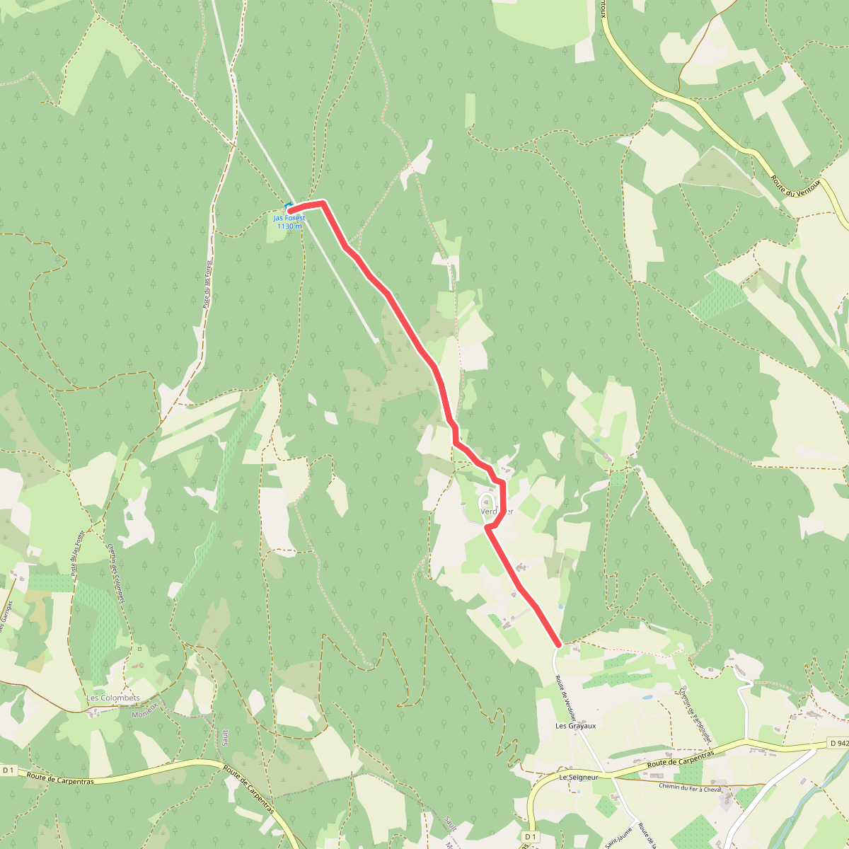
#4. De la Méditerranée à l'Océan · Jas Forest - Les Grayaux
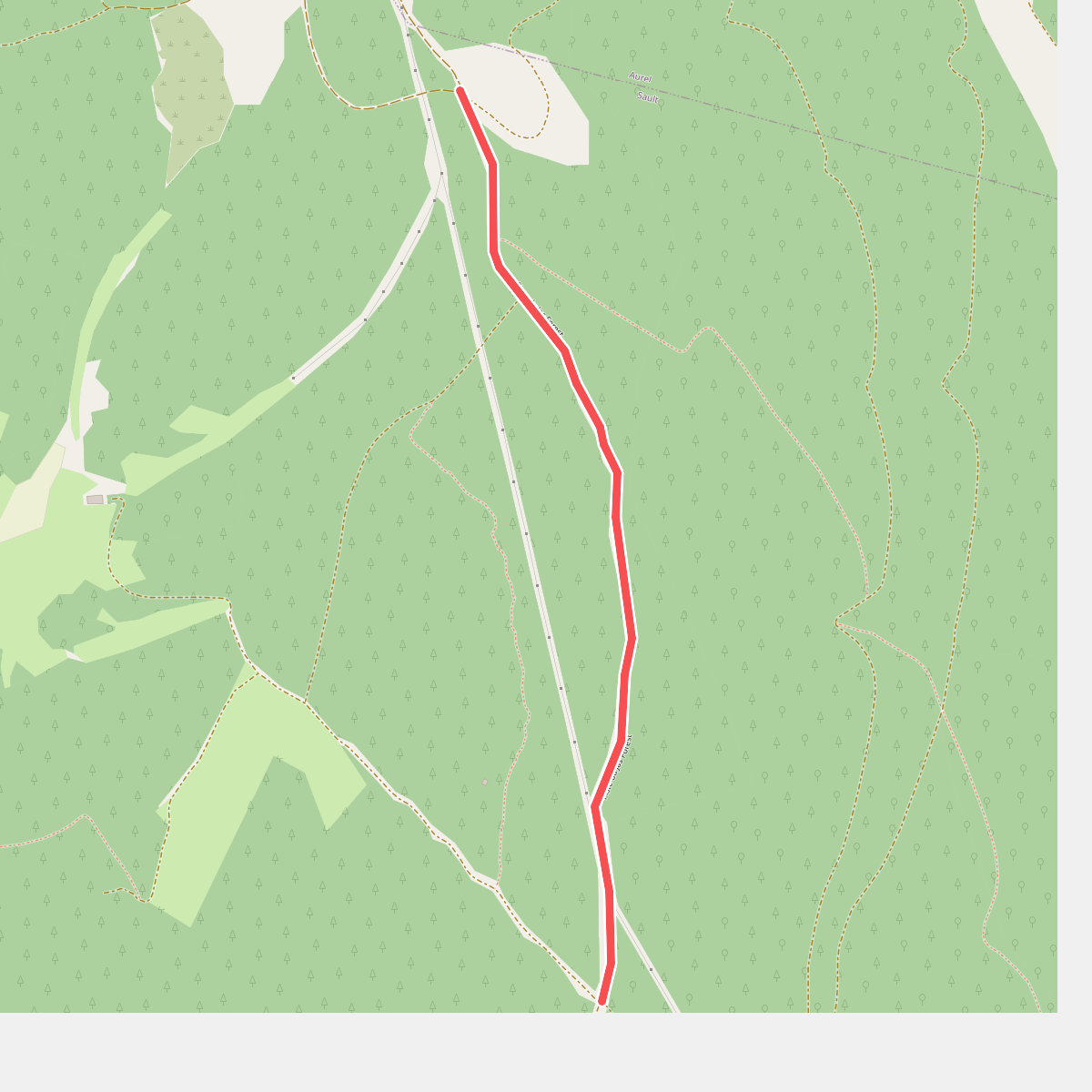
#5. De la Méditerranée à l'Océan · La Grand Côte - Les Laouses
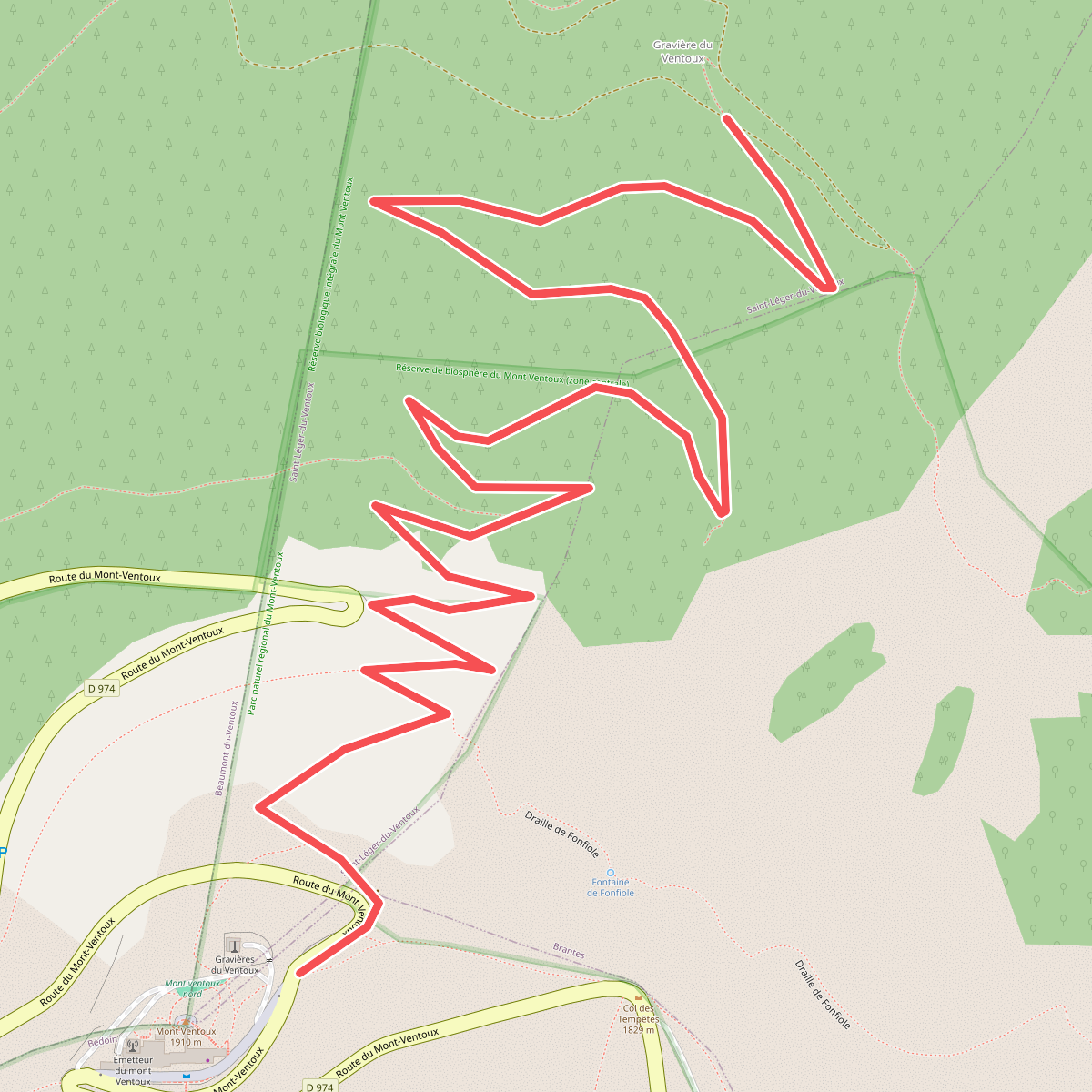
#6. De la Méditerranée à l'Océan · Mont Ventoux - Les Mélèzes
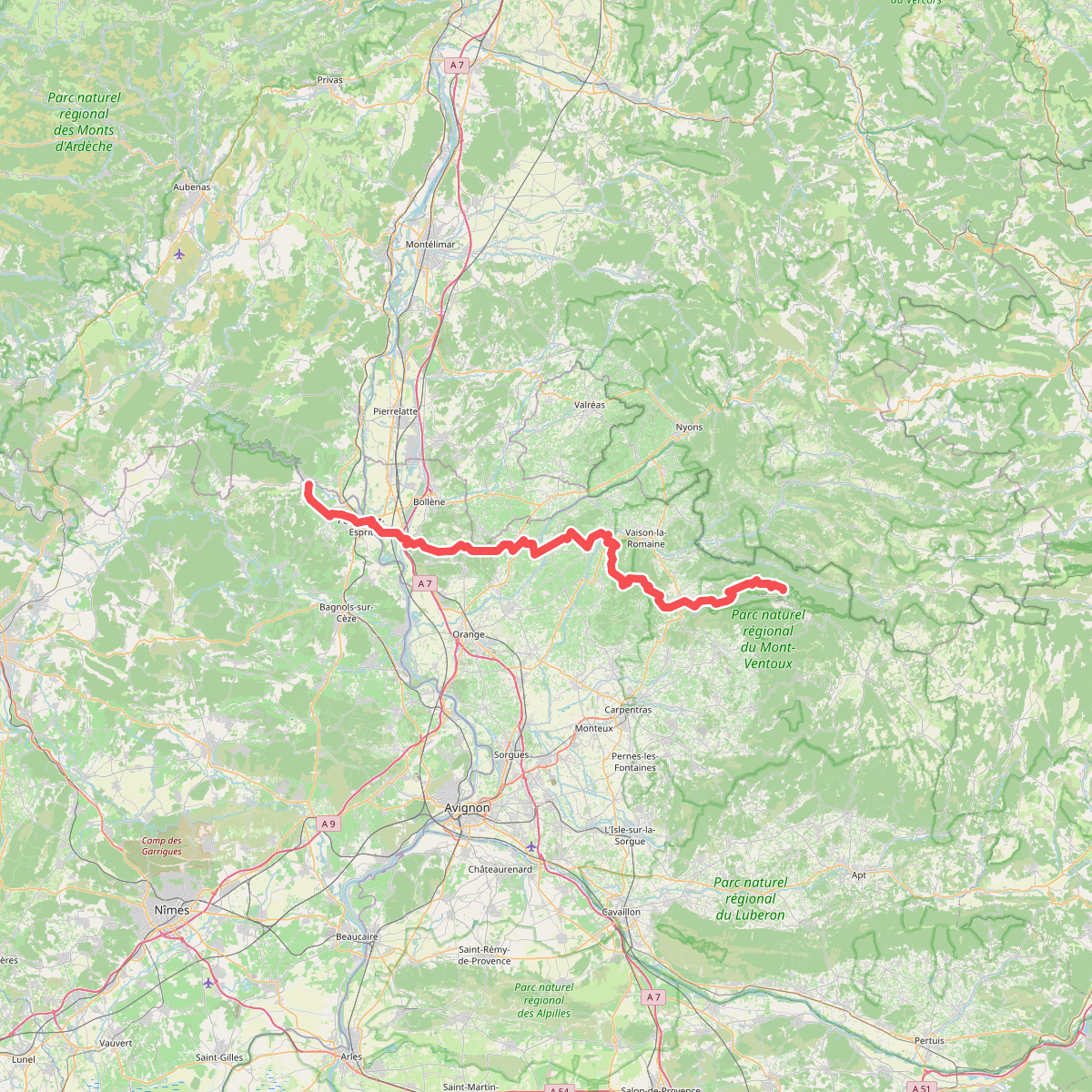
#7. De la Méditerranée à l'Océan · relation 13048526
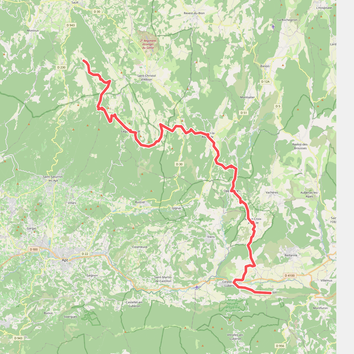
#8. De la Méditerranée à l'Océan · relation 17011427
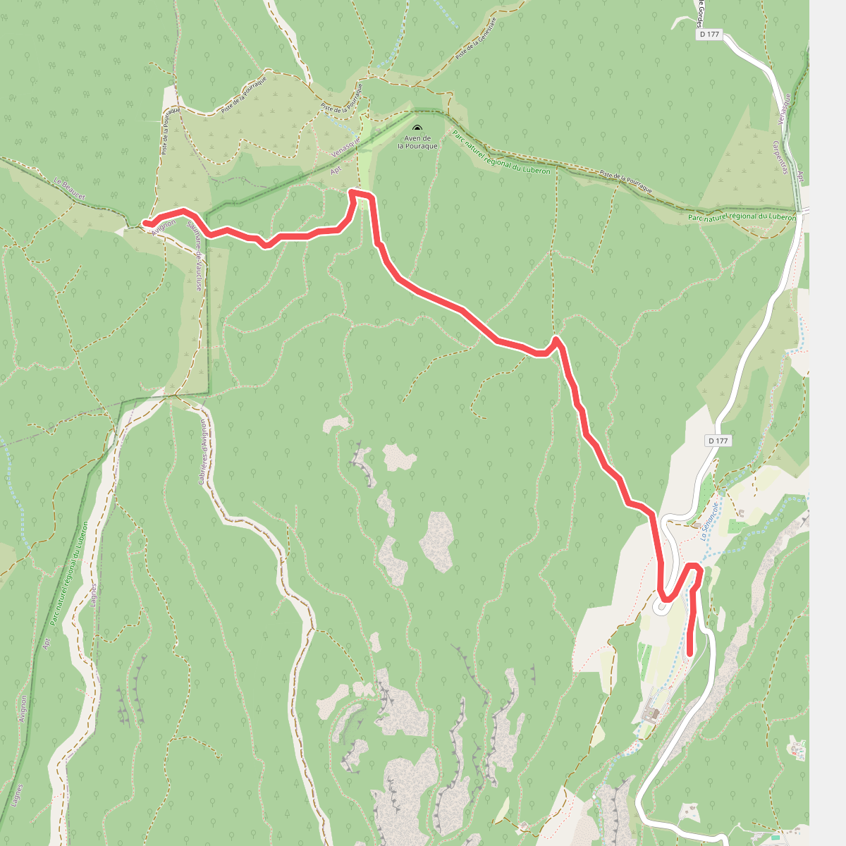
#9. Des Alpes à la Nouvelle Aquitaine · Abbaye de Sénanque - Croix de Pouracon
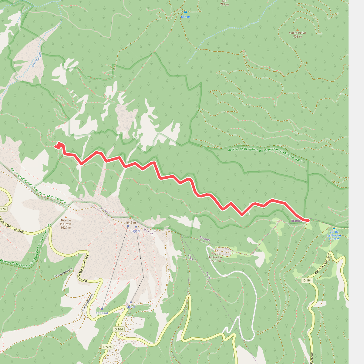
#10. Du Jura à la Méditerranée · Abri du Contrat – La Baraque d'Aurel · Epaulement de la Frache - Serres Gros
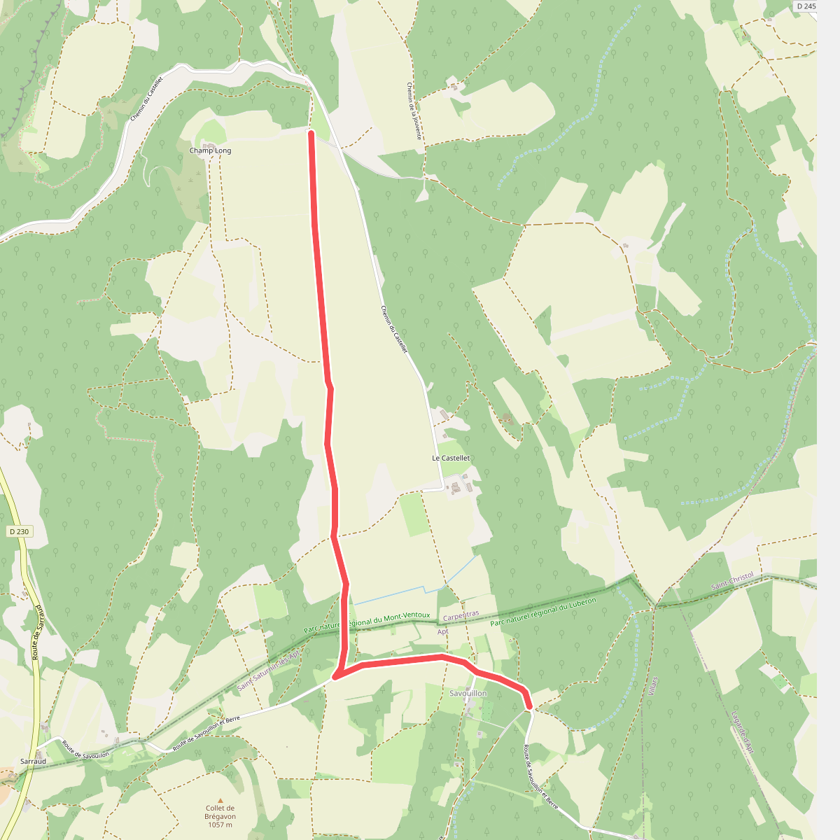
#11. Du Jura à la Méditerranée · Les Roussons – Chemin de Lautin · Champ Long - Savouillon