


The best hiking routes in Parco Nazionale dell'Asinara
Discover the best walks in Parco Nazionale dell'Asinara. 9 routes on the map, with descriptions, photos and GPX.
About Parco Nazionale dell'Asinara
Parco Nazionale dell'Asinara occupies a long, narrow island off the northwestern tip of Sardinia, characterized by a stark, wind-sheared landscape of granite cliffs, low scrub, and dry pastures. The terrain is generally low and rolling, lacking any high peaks or deep forested valleys. Walkers will find a stark contrast between the rugged, inaccessible western coastline, where steep cliffs drop straight into the sea, and the gentler eastern shore, which features small sandy coves and shallow inlets.
Read more
About Parco Nazionale dell'Asinara
Parco Nazionale dell'Asinara occupies a long, narrow island off the northwestern tip of Sardinia, characterized by a stark, wind-sheared landscape of granite cliffs, low scrub, and dry pastures. The terrain is generally low and rolling, lacking any high peaks or deep forested valleys. Walkers will find a stark contrast between the rugged, inaccessible western coastline, where steep cliffs drop straight into the sea, and the gentler eastern shore, which features small sandy coves and shallow inlets.
Read moreParco Nazionale dell'Asinara occupies a long, narrow island off the northwestern tip of Sardinia, characterized by a stark, wind-sheared landscape of granite cliffs, low scrub, and dry pastures. The terrain is generally low and rolling, lacking any high peaks or deep forested valleys. Walkers will find a stark contrast between the rugged, inaccessible western coastline, where steep cliffs drop straight into the sea, and the gentler eastern shore, which features small sandy coves and shallow inlets.
Underfoot, the paths are mostly unpaved dirt tracks, stony firebreaks, and sandy trails that require sturdy footwear. The vegetation consists almost entirely of low Mediterranean macchia, such as wild olive, lentisk, and spurge, meaning there is virtually no shade along the routes. You will notice the historical impact of grazing and isolation on the vegetation, which remains stunted and sparse across the hillsides, occasionally interrupted by the ruins of old penal colonies and sanatorium buildings.
Because private vehicles are banned, walking here requires careful planning around the public ferry schedule from Porto Torres or Stintino. The main dirt road connects the historic settlements from north to south, while smaller, rougher paths branch off toward the coastlines. The island is famous for its feral white donkeys, which are frequently seen grazing near the tracks, alongside wild goats and boar.
Hiking routes in Parco Nazionale dell'Asinara (9)
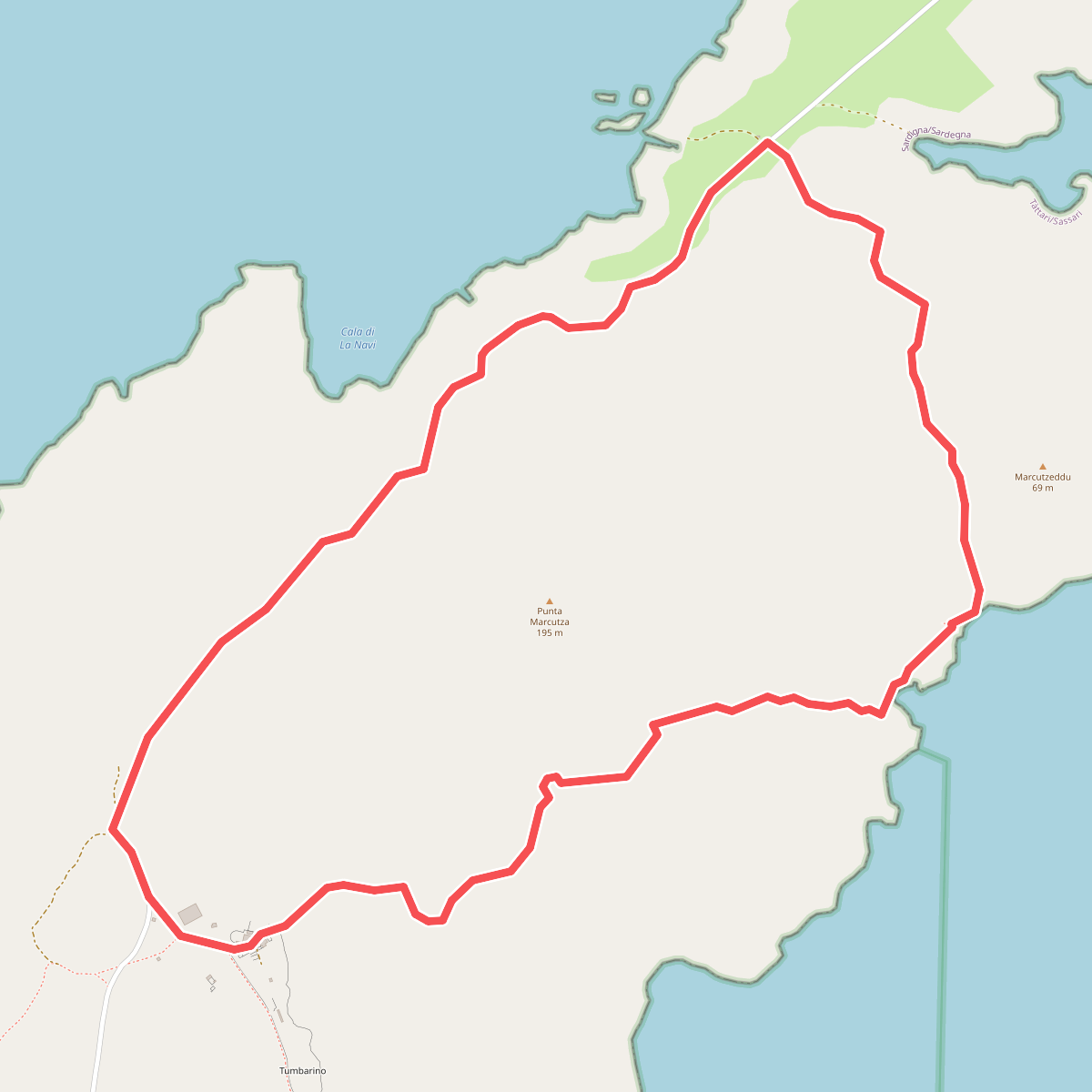
#1. Il Sentiero del Muflone
Posthudorra/Porto Torres
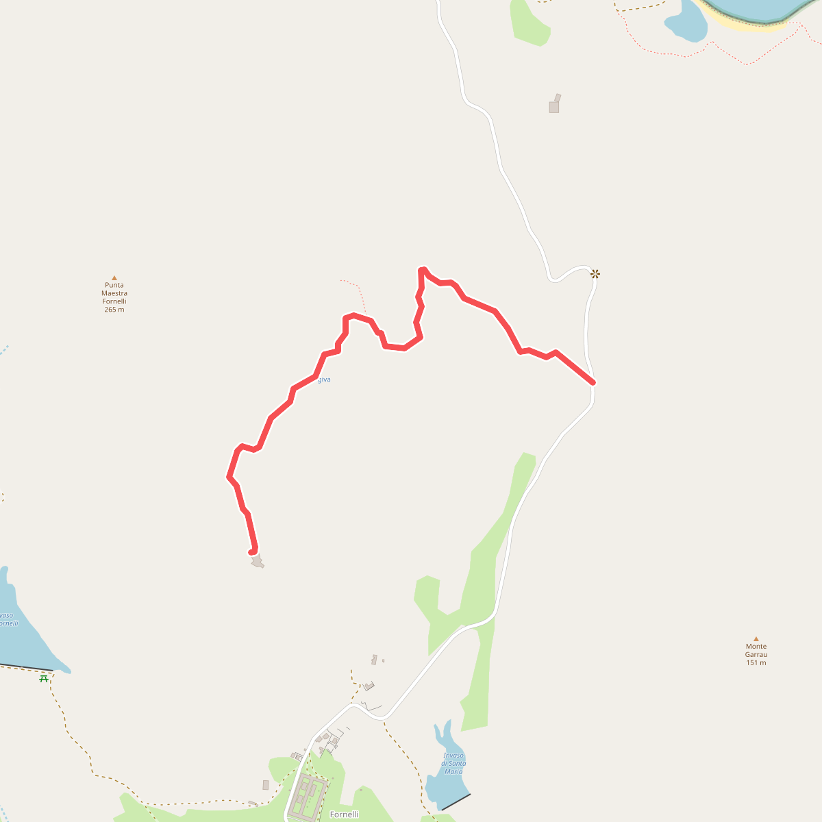
#2. Sentiero del Castellaccio
Posthudorra/Porto Torres
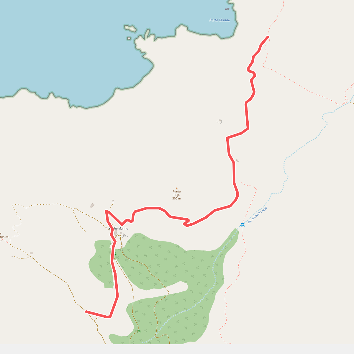
#3. Sentiero del Falcone
Posthudorra/Porto Torres
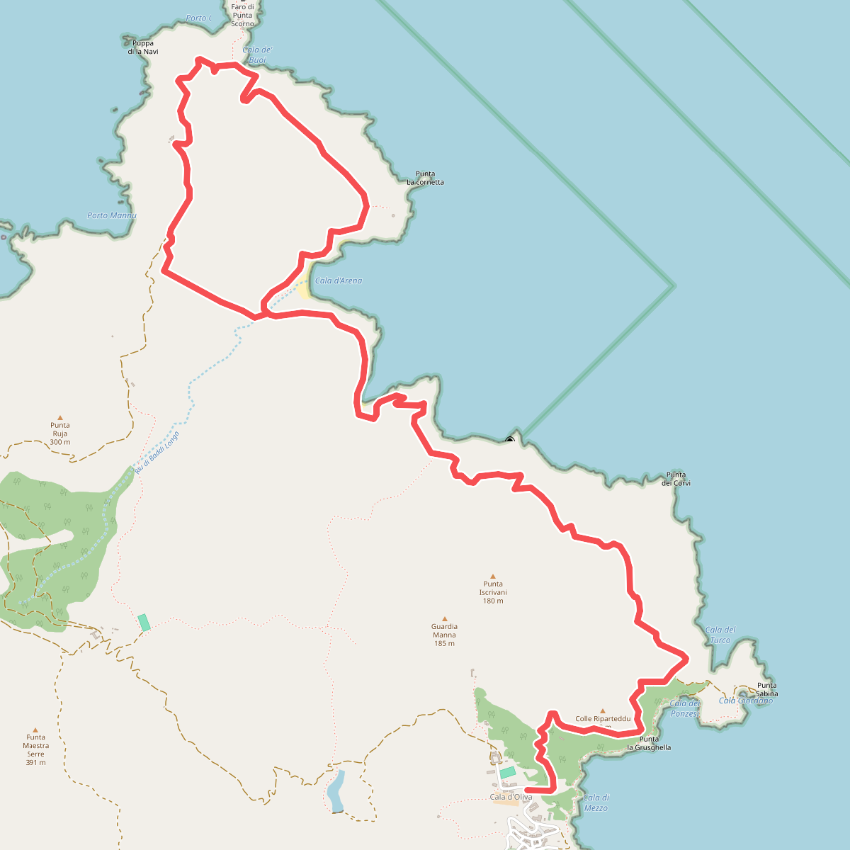
#4. Sentiero del Faro
Posthudorra/Porto Torres
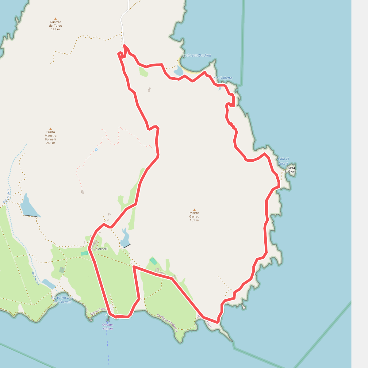
#5. Sentiero del Granito
Posthudorra/Porto Torres
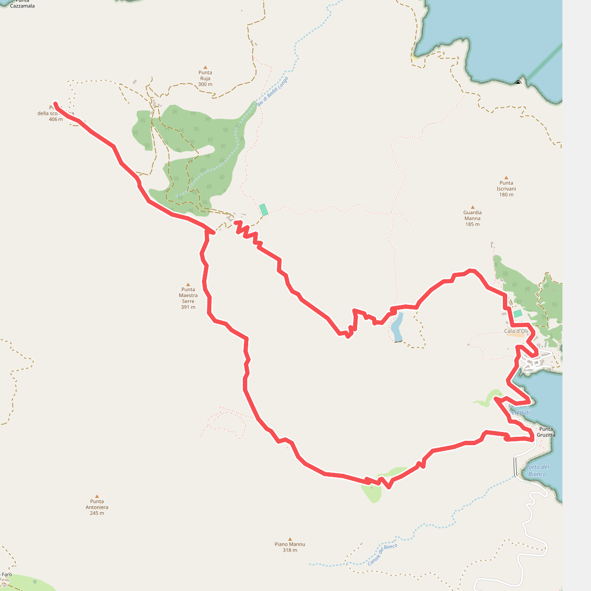
#6. Sentiero del Leccio
Posthudorra/Porto Torres
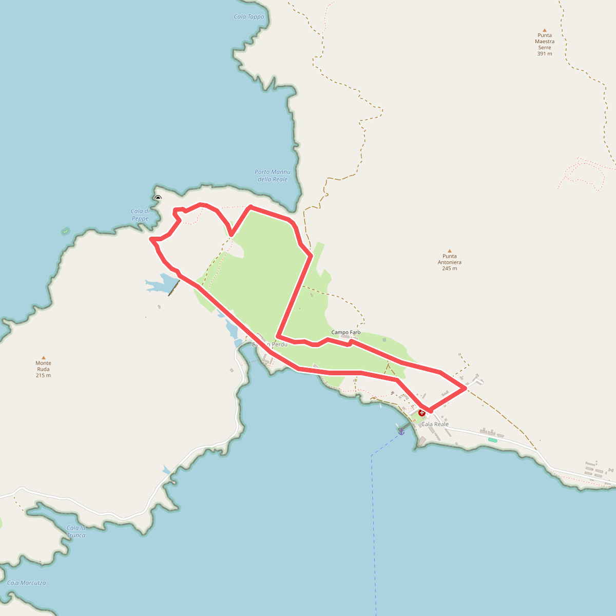
#7. Sentiero della Memoria
Posthudorra/Porto Torres
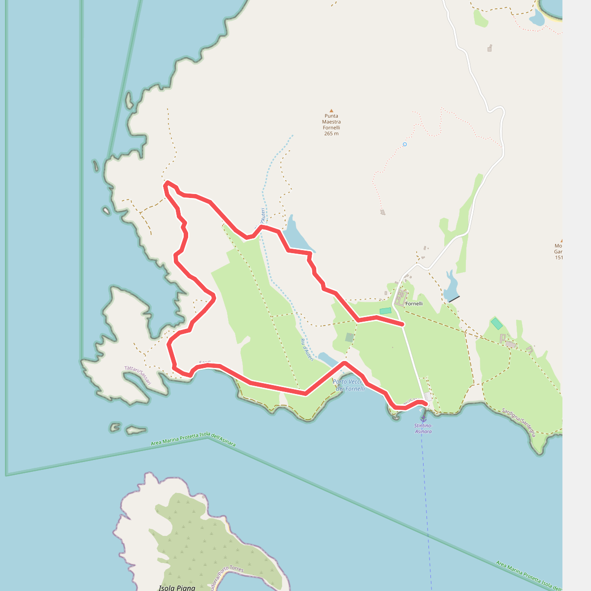
#8. Sentiero dell'acqua
Posthudorra/Porto Torres
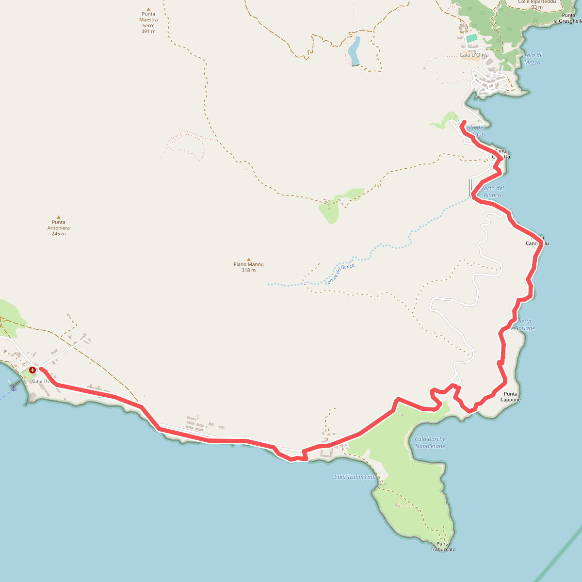
#9. Sentiero di Trabuccato
Posthudorra/Porto Torres




