


The best hiking routes in Parco regionale Delta del Po Emilia-Romagna
Discover the best walks in Parco regionale Delta del Po Emilia-Romagna. 6 routes on the map, with descriptions, photos and GPX.
Managed by Ente di gestione per i Parchi e la Biodiversità - Delta del Po, Provincia di Ferrara, Provincia di Bologna, Provincia di Ravenna
About Parco regionale Delta del Po Emilia-Romagna
Parco regionale Delta del Po Emilia-Romagna is a vast, flat wetland landscape where the Po River meets the Adriatic Sea. Unlike rocky coastal paths or hilly woodlands, walking here means navigating a labyrinth of brackish lagoons, freshwater marshes, ancient pine forests, and active salt pans. The terrain is consistently level, meaning you will find no climbs or deep valleys, but rather a horizontal world where land and water constantly shift. Underfoot, the paths vary from hard-packed dirt tracks along raised canal embankments to soft sand near the coastal dunes and pine needles in the shaded woodlands.
Read more
About Parco regionale Delta del Po Emilia-Romagna
Parco regionale Delta del Po Emilia-Romagna is a vast, flat wetland landscape where the Po River meets the Adriatic Sea. Unlike rocky coastal paths or hilly woodlands, walking here means navigating a labyrinth of brackish lagoons, freshwater marshes, ancient pine forests, and active salt pans. The terrain is consistently level, meaning you will find no climbs or deep valleys, but rather a horizontal world where land and water constantly shift. Underfoot, the paths vary from hard-packed dirt tracks along raised canal embankments to soft sand near the coastal dunes and pine needles in the shaded woodlands.
Read moreParco regionale Delta del Po Emilia-Romagna is a vast, flat wetland landscape where the Po River meets the Adriatic Sea. Unlike rocky coastal paths or hilly woodlands, walking here means navigating a labyrinth of brackish lagoons, freshwater marshes, ancient pine forests, and active salt pans. The terrain is consistently level, meaning you will find no climbs or deep valleys, but rather a horizontal world where land and water constantly shift. Underfoot, the paths vary from hard-packed dirt tracks along raised canal embankments to soft sand near the coastal dunes and pine needles in the shaded woodlands.
Walking through this park reveals how human engineering has shaped the delta over centuries. You will walk past active fishing stations with large drop nets, historic salt pans near Cervia, and reclaimed agricultural fields that sit below sea level. The vegetation changes rapidly as you move inland, transitioning from salt-tolerant glasswort and reeds near the lagoons to dense stands of stone pine and oak in the Pineta di San Vitale and Pineta di Classe. These forests offer shaded, earthy tracks that contrast sharply with the open, sun-exposed dykes of the Comacchio lagoons.
Depending on where you choose to walk, the experience varies from open, breezy embankment tracks to enclosed forest paths. The dikes around the Comacchio wetlands are highly exposed, with gravel and dirt paths that offer clear views of the shallow waters where flamingos feed. In contrast, the forest sections provide soft, leaf-littered trails under a dense canopy. Boardwalks are occasionally used to cross the wettest marshy sections, but most routes follow established farm tracks or sandy coastal paths. The busiest spots tend to be near the main visitor hubs and historic salt pans, while the remoter dikes and southern pine forests remain much quieter.
Hiking routes in Parco regionale Delta del Po Emilia-Romagna (6)

#1. Anello Punte Alberete
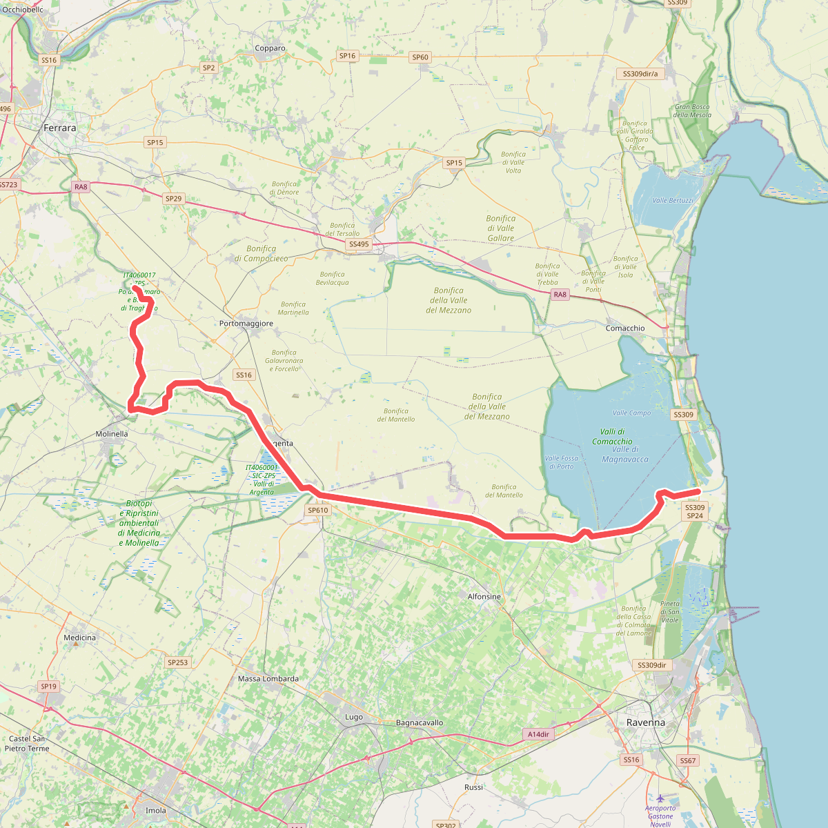
#2. Sentiero Primaro "Daniele Zagani"
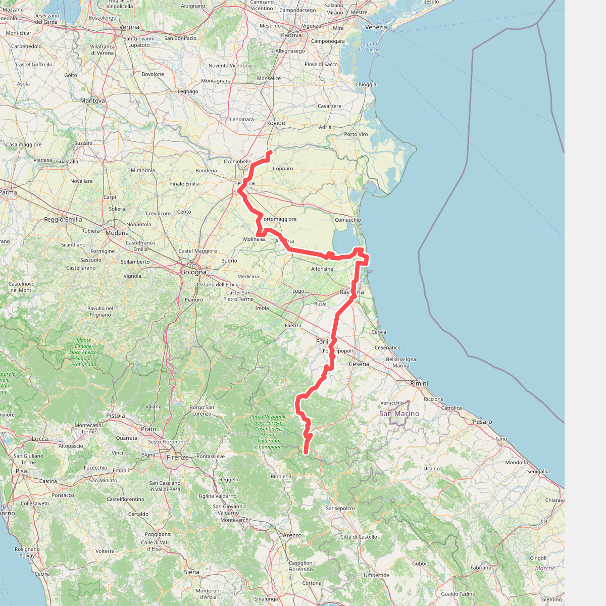
#3. Via Romea - Tratto Emilia-Romagna

#4. Viae Misericordiae: Tappa 1

#5. Viae Misericordiae: Tappa 2





