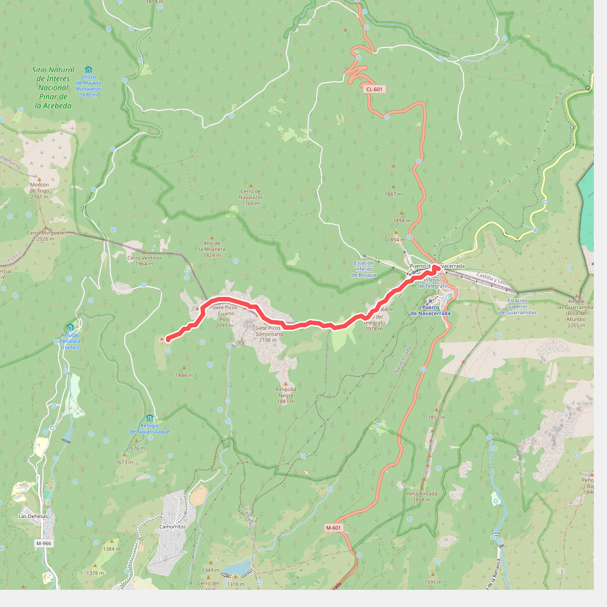
The best hiking routes in Parque Natural de la Sierra de Guadarrama Norte
Discover the best walks in Parque Natural de la Sierra de Guadarrama Norte. 19 routes on the map, with descriptions, photos and GPX.
About Parque Natural de la Sierra de Guadarrama Norte
The northern slopes of the Parque Natural de la Sierra de Guadarrama Norte present a quieter, more forested alternative to the busier southern side of the range. The landscape here is defined by dense pine woods, particularly the Scots pine forests of Valsain, which gradually give way to oak groves and open pastures at lower elevations. Unlike the rugged granite crags found near the summits, this northern sector is characterized by deep, shaded valleys and gentler, rolling foothills that descend toward the Castilian plateau.
Read more
About Parque Natural de la Sierra de Guadarrama Norte
The northern slopes of the Parque Natural de la Sierra de Guadarrama Norte present a quieter, more forested alternative to the busier southern side of the range. The landscape here is defined by dense pine woods, particularly the Scots pine forests of Valsain, which gradually give way to oak groves and open pastures at lower elevations. Unlike the rugged granite crags found near the summits, this northern sector is characterized by deep, shaded valleys and gentler, rolling foothills that descend toward the Castilian plateau.
Read moreThe northern slopes of the Parque Natural de la Sierra de Guadarrama Norte present a quieter, more forested alternative to the busier southern side of the range. The landscape here is defined by dense pine woods, particularly the Scots pine forests of Valsain, which gradually give way to oak groves and open pastures at lower elevations. Unlike the rugged granite crags found near the summits, this northern sector is characterized by deep, shaded valleys and gentler, rolling foothills that descend toward the Castilian plateau.
Underfoot, walkers will find a mix of wide forestry tracks, needle-strewn dirt paths, and occasional stony trails. Water is a constant presence in this landscape, with numerous mountain streams cutting through the valleys, creating damp meadows and feeding small reservoirs. The terrain does not offer dramatic limestone gorges or high-altitude alpine lakes, but rather a consistent cover of woodland that provides shelter and a sense of isolation.
In late spring, around May, the melting snow from the higher peaks feeds the streams, making the valley floors particularly lush, while the high broom begins to flower on the upper slopes. The paths are generally well-graded, though the lack of extensive waymarking on the lesser-used trails requires careful navigation. It is a landscape suited for those who prefer steady climbs through continuous forest over exposed ridge walking.
Hiking routes in Parque Natural de la Sierra de Guadarrama Norte (19)
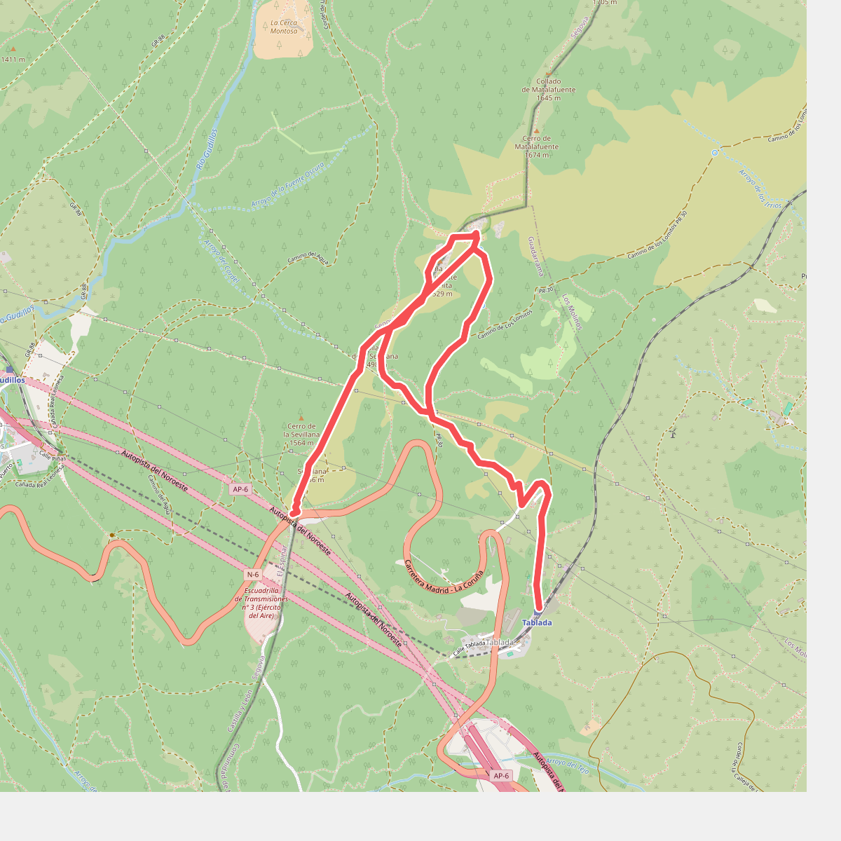
#1. Arcipreste de Hita
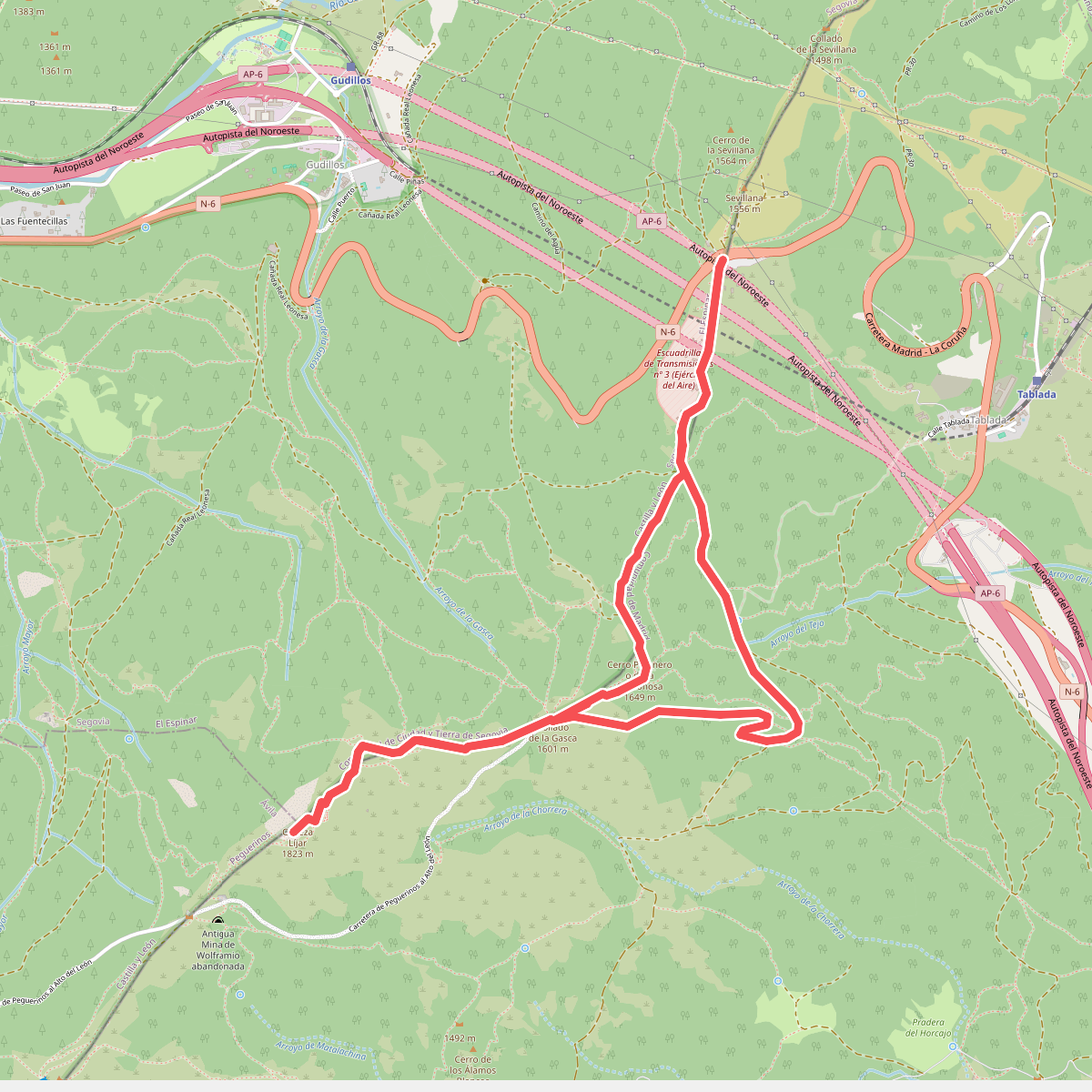
#2. Cabeza Líjar
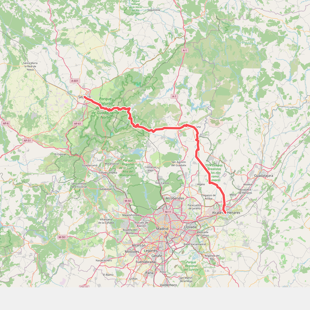
#3. Camino de Santiago Complutense
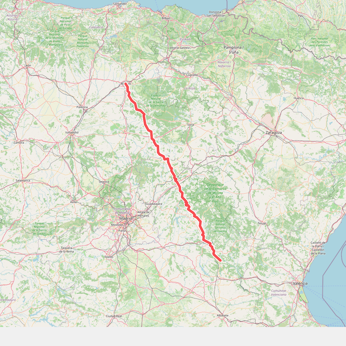
#4. Camino de Santiago de la Lana.Senderista
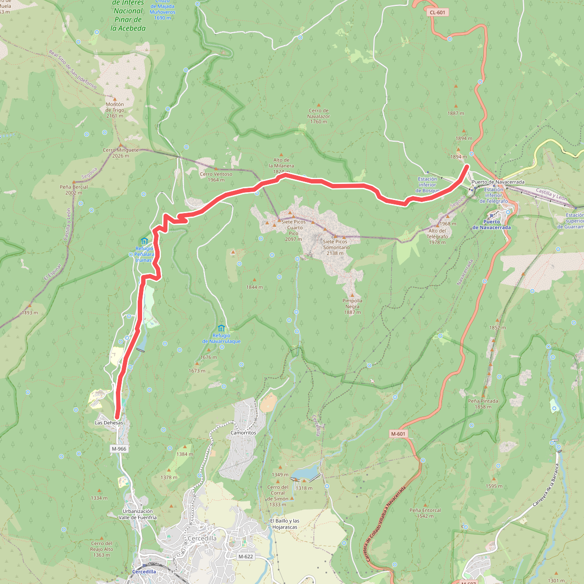
#5. Camino Schmidt
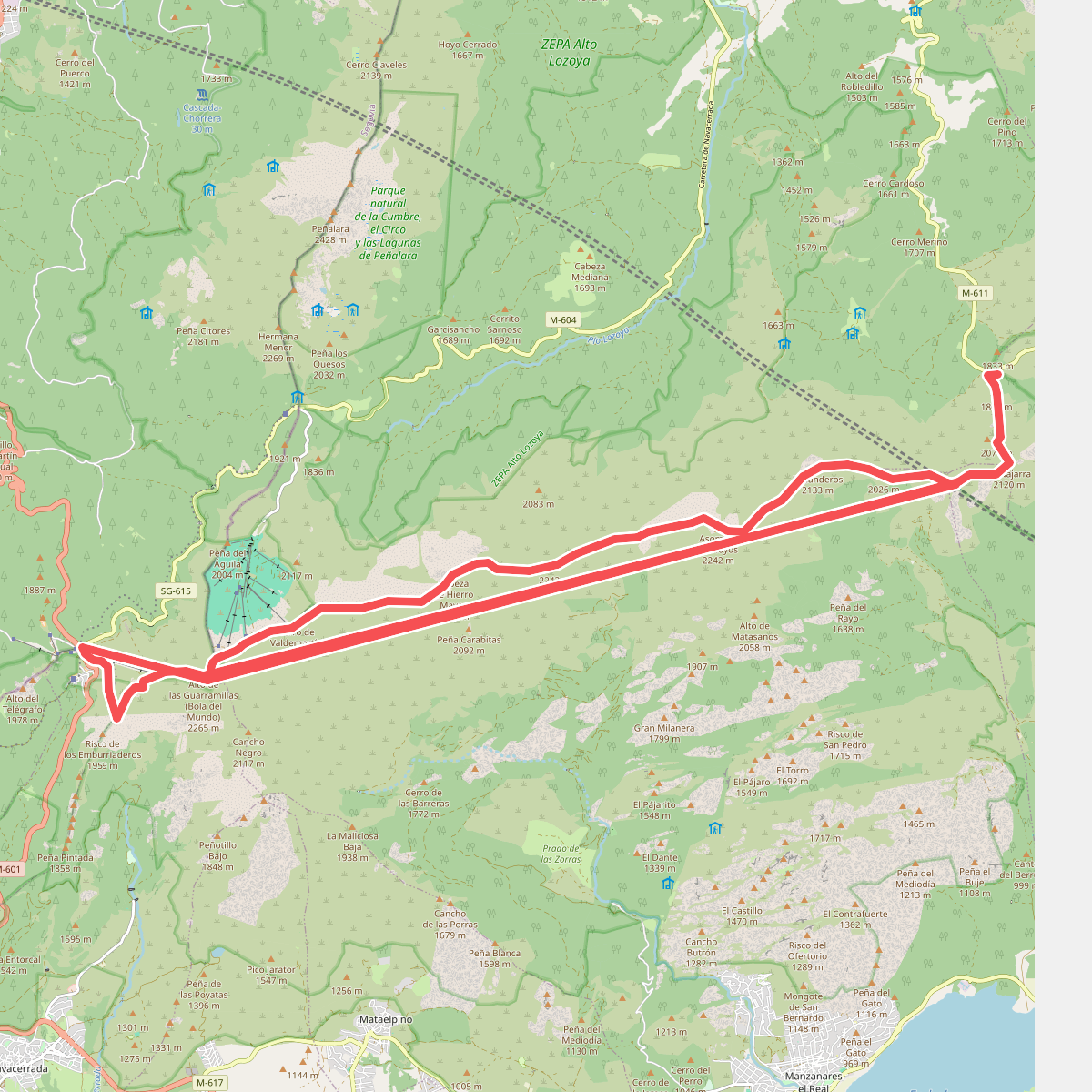
#6. Cuerda Larga

#7. La Loma del Noruego

#8. Marcha del Punto de Encuentro

#9. Pasaderas - Pesquerías

#10. Puerto del Reventón

#11. Rascafría - Puerto del Reventón